Wildfire Alert Report
| Date: | 2024-11-01 |
|---|---|
| Time: | 03:11:17 |
| Production Date and Time: | 2024-11-01 03:15:39 UTC |
| Primary Instrument: | GOES-18 ABI |
| Wmo Spacecraft Id: | 665 |
| Location/orbit: | GEO |
| L1 File: | OR_ABI-L1b-RadC-M6C14_G18_s20243060311175_e20243060313548_c20243060314012.nc |
| L1 File(s) - Temporal | OR_ABI-L1b-RadC-M6C14_G18_s20243060306175_e20243060308548_c20243060309033.nc |
| Number Of Thermal Anomaly Alerts: | 2 |
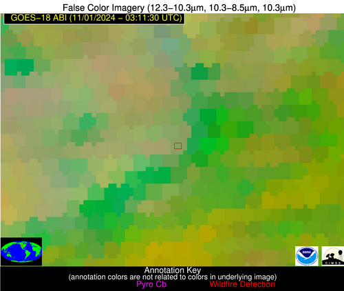
Possible Wildfire
| Basic Information | |
|---|---|
| State/Province(s) | British Columbia |
| Country/Countries | Canada |
| County/Locality(s) | Central Kootenay, British Columbia |
| NWS WFO | N/A |
| Identification Method | Enhanced Contextual (Bias) |
| Mean Object Date/Time | 2024-11-01 03:11:23UTC |
| Radiative Center (Lat, Lon): | 49.940000°, -118.300000° |
| Nearby Counties (meeting alert criteria): |
|
| Total Radiative Power Anomaly | n/a |
| Total Radiative Power | 100.70 MW |
| Map: | |
| Additional Information | |
| Alert Status | New Feature |
| Type of Event | Nominal Risk |
| Event Priority Ranking | 4 |
| Maximum Observed BT (3.9 um) | 284.25 K |
| Observed - Background BT (3.9 um) | 23.85 K |
| BT Anomaly (3.9 um) | 24.57 K |
| Maximum Observed - Clear RTM BT (3.9 um) | 16.06 K |
| Maximum Observed BTD (3.9-10/11/12 um) | 20.29 K |
| Observed - Background BTD (3.9-10/11/12 um) | 22.59 K |
| BTD Anomaly (3.9-10/11/12 um) | 29.15 K |
| Similar Pixel Count | 0 |
| BT Time Tendency (3.9 um) | 14.50 K |
| Image Interval | 5.00 minutes |
| Fraction of Surrounding LWIR Pixels that are Colder | 1.00 |
| Fraction of Surrounding Red Channel Pixels that are Brighter | 1.00 |
| Maximum Radiative Power | 56.99 MW |
| Maximum Radiative Power Uncertainty | 0.00 MW |
| Total Radiative Power Uncertainty | 0.00 MW |
| Mean Viewing Angle | 60.30° |
| Mean Solar Zenith Angle | 116.30° |
| Mean Glint Angle | 115.00° |
| Water Fraction | 0.00 |
| Total Pixel Area | 29.80 km2 |
| Latest Satellite Imagery: | |
| View all event imagery » | |
Possible Wildfire
| Basic Information | |
|---|---|
| State/Province(s) | ID |
| Country/Countries | USA |
| County/Locality(s) | Caribou County, ID |
| NWS WFO | Pocatello ID |
| Identification Method | Enhanced Contextual (Cloud) |
| Mean Object Date/Time | 2024-11-01 03:11:54UTC |
| Radiative Center (Lat, Lon): | 42.680000°, -111.580000° |
| Nearby Counties (meeting alert criteria): |
|
| Total Radiative Power Anomaly | n/a |
| Total Radiative Power | 27.42 MW |
| Map: | |
| Additional Information | |
| Alert Status | New Feature |
| Type of Event | Ferrous-metal |
| Event Priority Ranking | 5 |
| Maximum Observed BT (3.9 um) | 280.16 K |
| Observed - Background BT (3.9 um) | 18.41 K |
| BT Anomaly (3.9 um) | 16.10 K |
| Maximum Observed - Clear RTM BT (3.9 um) | 12.07 K |
| Maximum Observed BTD (3.9-10/11/12 um) | 18.81 K |
| Observed - Background BTD (3.9-10/11/12 um) | 18.55 K |
| BTD Anomaly (3.9-10/11/12 um) | 15.83 K |
| Similar Pixel Count | 0 |
| BT Time Tendency (3.9 um) | 21.10 K |
| Image Interval | 5.00 minutes |
| Fraction of Surrounding LWIR Pixels that are Colder | 0.81 |
| Fraction of Surrounding Red Channel Pixels that are Brighter | 1.00 |
| Maximum Radiative Power | 27.42 MW |
| Maximum Radiative Power Uncertainty | 0.00 MW |
| Total Radiative Power Uncertainty | 0.00 MW |
| Mean Viewing Angle | 55.90° |
| Mean Solar Zenith Angle | 122.00° |
| Mean Glint Angle | 126.50° |
| Water Fraction | 0.00 |
| Total Pixel Area | 8.90 km2 |
| Latest Satellite Imagery: | |
| View all event imagery » | |


