Wildfire Alert Report
| Date: | 2024-11-01 |
|---|---|
| Time: | 00:56:17 |
| Production Date and Time: | 2024-11-01 01:00:44 UTC |
| Primary Instrument: | GOES-16 ABI |
| Wmo Spacecraft Id: | 152 |
| Location/orbit: | GEO |
| L1 File: | OR_ABI-L1b-RadC-M6C14_G16_s20243060056171_e20243060058544_c20243060059022.nc |
| L1 File(s) - Temporal | OR_ABI-L1b-RadC-M6C14_G16_s20243060051171_e20243060053544_c20243060054016.nc |
| Number Of Thermal Anomaly Alerts: | 2 |
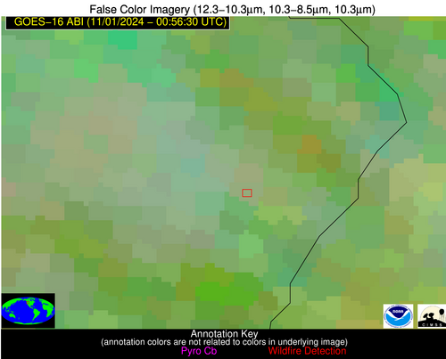
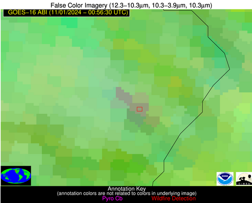
Possible Wildfire
| Basic Information | |
|---|---|
| State/Province(s) | OR |
| Country/Countries | USA |
| County/Locality(s) | Wallowa County, OR |
| NWS WFO | Pendleton OR |
| Identification Method | Enhanced Contextual (Clear) |
| Mean Object Date/Time | 2024-11-01 00:56:19UTC |
| Radiative Center (Lat, Lon): | 45.480000°, -116.740000° |
| Nearby Counties (meeting alert criteria): |
|
| Total Radiative Power Anomaly | n/a |
| Total Radiative Power | 32.90 MW |
| Map: | |
| Additional Information | |
| Alert Status | New Feature |
| Type of Event | Nominal Risk |
| Event Priority Ranking | 4 |
| Maximum Observed BT (3.9 um) | 278.76 K |
| Observed - Background BT (3.9 um) | 10.66 K |
| BT Anomaly (3.9 um) | 8.61 K |
| Maximum Observed - Clear RTM BT (3.9 um) | 7.68 K |
| Maximum Observed BTD (3.9-10/11/12 um) | 9.81 K |
| Observed - Background BTD (3.9-10/11/12 um) | 7.90 K |
| BTD Anomaly (3.9-10/11/12 um) | 8.09 K |
| Similar Pixel Count | 4 |
| BT Time Tendency (3.9 um) | 1.60 K |
| Image Interval | 5.00 minutes |
| Fraction of Surrounding LWIR Pixels that are Colder | 0.78 |
| Fraction of Surrounding Red Channel Pixels that are Brighter | 1.00 |
| Maximum Radiative Power | 17.04 MW |
| Maximum Radiative Power Uncertainty | 0.00 MW |
| Total Radiative Power Uncertainty | 0.00 MW |
| Mean Viewing Angle | 66.80° |
| Mean Solar Zenith Angle | 94.50° |
| Mean Glint Angle | 60.40° |
| Water Fraction | 0.00 |
| Total Pixel Area | 33.30 km2 |
| Latest Satellite Imagery: | |
| View all event imagery » | |
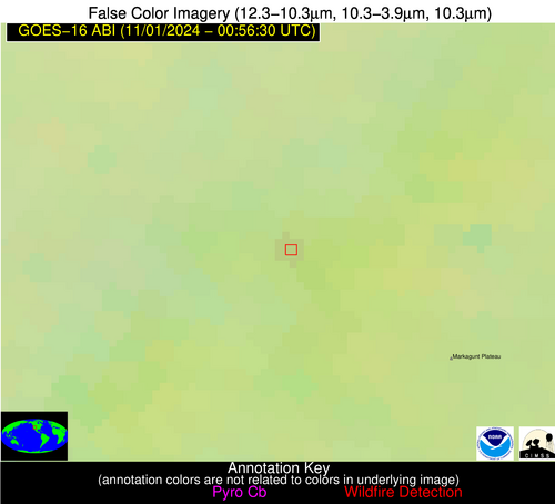
Possible Wildfire
| Basic Information | |
|---|---|
| State/Province(s) | UT |
| Country/Countries | USA |
| County/Locality(s) | Iron County, UT |
| NWS WFO | Salt Lake City UT |
| Identification Method | Enhanced Contextual (Clear) |
| Mean Object Date/Time | 2024-11-01 00:56:48UTC |
| Radiative Center (Lat, Lon): | 37.710000°, -112.850000° |
| Nearby Counties (meeting alert criteria): |
|
| Total Radiative Power Anomaly | n/a |
| Total Radiative Power | 2.96 MW |
| Map: | |
| Additional Information | |
| Alert Status | New Feature |
| Type of Event | Nominal Risk |
| Event Priority Ranking | 4 |
| Maximum Observed BT (3.9 um) | 270.78 K |
| Observed - Background BT (3.9 um) | 1.71 K |
| BT Anomaly (3.9 um) | 2.15 K |
| Maximum Observed - Clear RTM BT (3.9 um) | 2.98 K |
| Maximum Observed BTD (3.9-10/11/12 um) | 2.47 K |
| Observed - Background BTD (3.9-10/11/12 um) | 2.46 K |
| BTD Anomaly (3.9-10/11/12 um) | 9.21 K |
| Similar Pixel Count | 1 |
| BT Time Tendency (3.9 um) | 0.70 K |
| Image Interval | 5.00 minutes |
| Fraction of Surrounding LWIR Pixels that are Colder | 0.05 |
| Fraction of Surrounding Red Channel Pixels that are Brighter | 1.00 |
| Maximum Radiative Power | 2.96 MW |
| Maximum Radiative Power Uncertainty | 0.00 MW |
| Total Radiative Power Uncertainty | 0.00 MW |
| Mean Viewing Angle | 59.00° |
| Mean Solar Zenith Angle | 95.20° |
| Mean Glint Angle | 62.00° |
| Water Fraction | 0.00 |
| Total Pixel Area | 10.80 km2 |
| Latest Satellite Imagery: | |
| View all event imagery » | |


