Wildfire Alert Report
| Date: | 2024-10-30 |
|---|---|
| Time: | 19:40:20 |
| Production Date and Time: | 2024-10-30 19:51:44 UTC |
| Primary Instrument: | GOES-18 ABI |
| Wmo Spacecraft Id: | 665 |
| Location/orbit: | GEO |
| L1 File: | OR_ABI-L1b-RadF-M6C14_G18_s20243041940208_e20243041949516_c20243041949576.nc |
| L1 File(s) - Temporal | OR_ABI-L1b-RadF-M6C14_G18_s20243041930208_e20243041939516_c20243041939571.nc |
| Number Of Thermal Anomaly Alerts: | 2 |
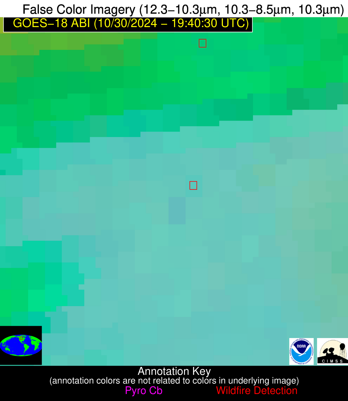
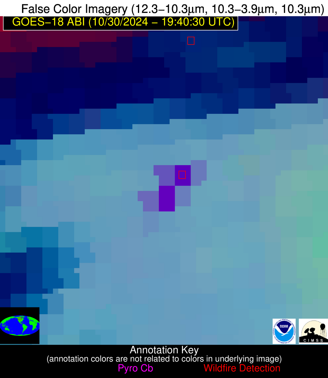
Possible Wildfire
| Basic Information | |
|---|---|
| State/Province(s) | Saskatchewan |
| Country/Countries | Canada |
| County/Locality(s) | Division No. 9, Saskatchewan |
| NWS WFO | N/A |
| Identification Method | Enhanced Contextual (Cloud) |
| Mean Object Date/Time | 2024-10-30 19:40:51UTC |
| Radiative Center (Lat, Lon): | 51.760000°, -102.040000° |
| Nearby Counties (meeting alert criteria): |
|
| Total Radiative Power Anomaly | n/a |
| Total Radiative Power | 373.03 MW |
| Map: | |
| Additional Information | |
| Alert Status | New Feature |
| Type of Event | Nominal Risk |
| Event Priority Ranking | 4 |
| Maximum Observed BT (3.9 um) | 317.06 K |
| Observed - Background BT (3.9 um) | 28.93 K |
| BT Anomaly (3.9 um) | 23.04 K |
| Maximum Observed - Clear RTM BT (3.9 um) | 42.93 K |
| Maximum Observed BTD (3.9-10/11/12 um) | 39.62 K |
| Observed - Background BTD (3.9-10/11/12 um) | 28.77 K |
| BTD Anomaly (3.9-10/11/12 um) | 25.07 K |
| Similar Pixel Count | 0 |
| BT Time Tendency (3.9 um) | 29.10 K |
| Image Interval | 10.00 minutes |
| Fraction of Surrounding LWIR Pixels that are Colder | 0.75 |
| Fraction of Surrounding Red Channel Pixels that are Brighter | 0.95 |
| Maximum Radiative Power | 209.39 MW |
| Maximum Radiative Power Uncertainty | 0.00 MW |
| Total Radiative Power Uncertainty | 0.00 MW |
| Mean Viewing Angle | 68.00° |
| Mean Solar Zenith Angle | 67.30° |
| Mean Glint Angle | 129.80° |
| Water Fraction | 0.00 |
| Total Pixel Area | 32.80 km2 |
| Latest Satellite Imagery: | |
| View all event imagery » | |
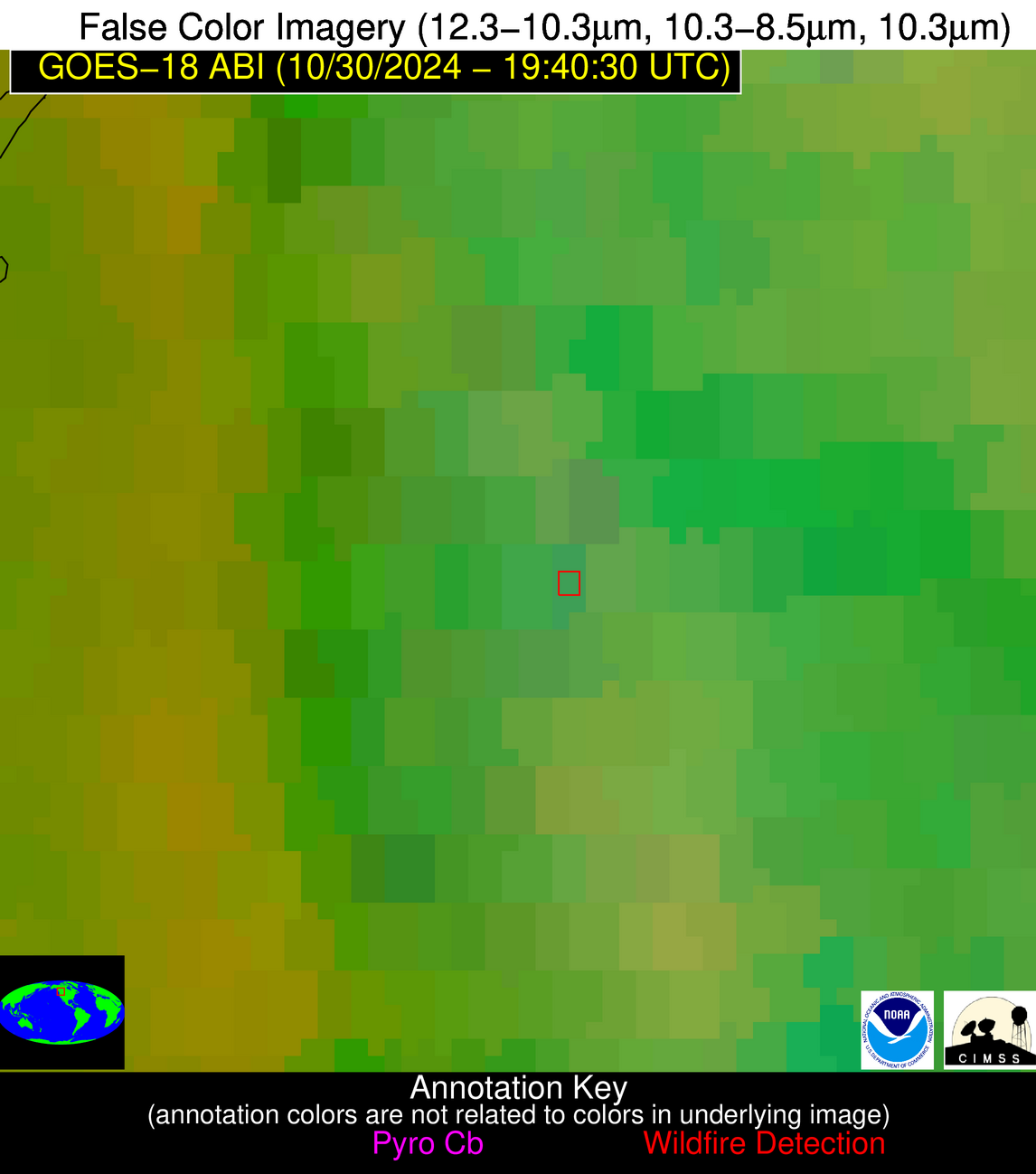
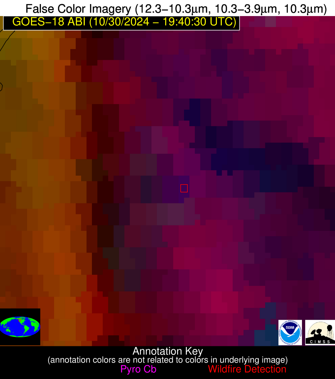
Possible Wildfire
| Basic Information | |
|---|---|
| State/Province(s) | British Columbia |
| Country/Countries | Canada |
| County/Locality(s) | North Okanagan, British Columbia |
| NWS WFO | N/A |
| Identification Method | Enhanced Contextual (Cloud) |
| Mean Object Date/Time | 2024-10-30 19:40:50UTC |
| Radiative Center (Lat, Lon): | 50.080000°, -118.910000° |
| Nearby Counties (meeting alert criteria): |
|
| Total Radiative Power Anomaly | n/a |
| Total Radiative Power | 196.41 MW |
| Map: | |
| Additional Information | |
| Alert Status | New Feature |
| Type of Event | Nominal Risk |
| Event Priority Ranking | 4 |
| Maximum Observed BT (3.9 um) | 307.53 K |
| Observed - Background BT (3.9 um) | 21.01 K |
| BT Anomaly (3.9 um) | 20.02 K |
| Maximum Observed - Clear RTM BT (3.9 um) | 38.36 K |
| Maximum Observed BTD (3.9-10/11/12 um) | 51.11 K |
| Observed - Background BTD (3.9-10/11/12 um) | 17.58 K |
| BTD Anomaly (3.9-10/11/12 um) | 12.16 K |
| Similar Pixel Count | 0 |
| BT Time Tendency (3.9 um) | 16.70 K |
| Image Interval | 10.00 minutes |
| Fraction of Surrounding LWIR Pixels that are Colder | 1.00 |
| Fraction of Surrounding Red Channel Pixels that are Brighter | 1.00 |
| Maximum Radiative Power | 196.41 MW |
| Maximum Radiative Power Uncertainty | 0.00 MW |
| Total Radiative Power Uncertainty | 0.00 MW |
| Mean Viewing Angle | 60.30° |
| Mean Solar Zenith Angle | 64.00° |
| Mean Glint Angle | 120.20° |
| Water Fraction | 0.00 |
| Total Pixel Area | 19.80 km2 |
| Latest Satellite Imagery: | |
| View all event imagery » | |


