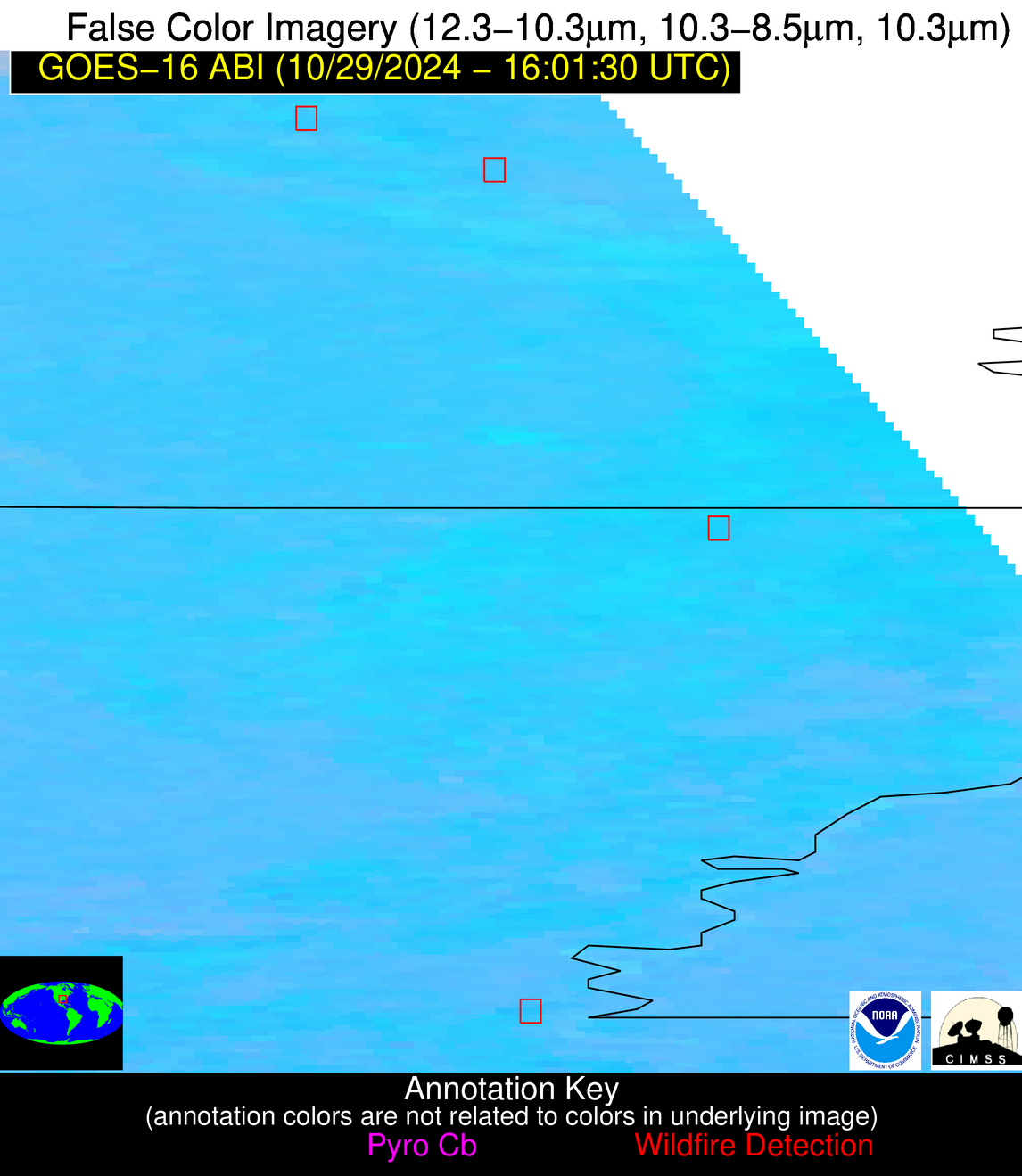
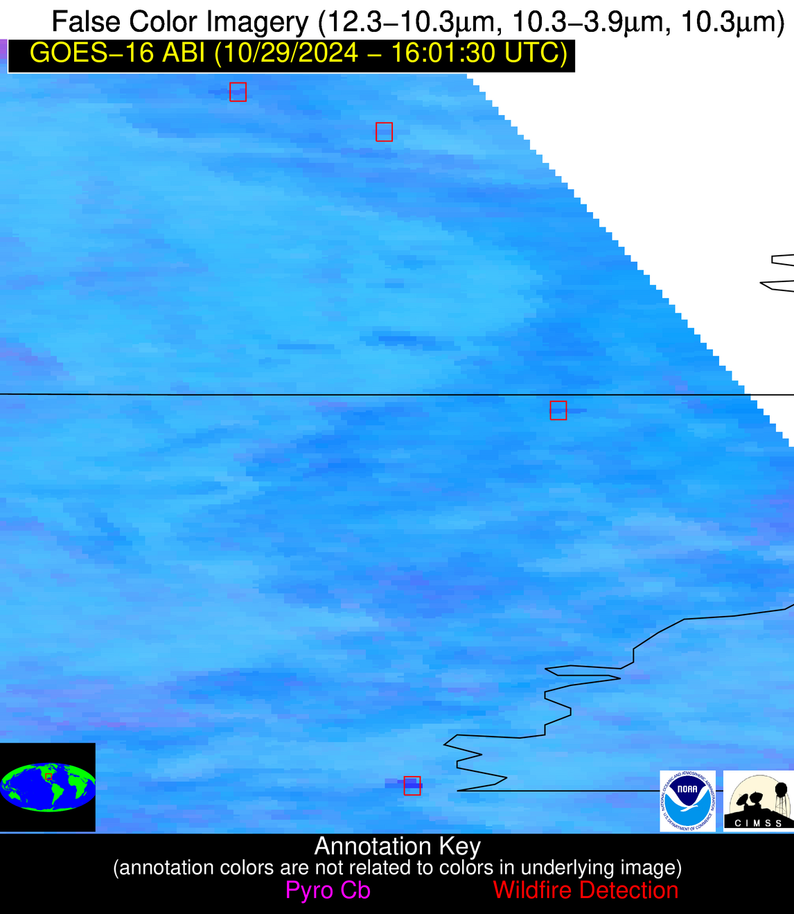
Wildfire Alert Report
| Date: | 2024-10-29 |
|---|---|
| Time: | 16:01:24 |
| Production Date and Time: | 2024-10-29 16:02:05 UTC |
| Primary Instrument: | GOES-16 ABI |
| Wmo Spacecraft Id: | 152 |
| Location/orbit: | GEO |
| L1 File: | OR_ABI-L1b-RadM1-M6C14_G16_s20243031601249_e20243031601306_c20243031601358.nc |
| L1 File(s) - Temporal | OR_ABI-L1b-RadM1-M6C14_G16_s20243031600278_e20243031600335_c20243031600397.nc |
| Number Of Thermal Anomaly Alerts: | 4 |
Possible Wildfire
| Basic Information | |
|---|---|
| State/Province(s) | AR |
| Country/Countries | USA |
| County/Locality(s) | Lonoke County, AR |
| NWS WFO | Little Rock AR |
| Identification Method | Enhanced Contextual (Clear) |
| Mean Object Date/Time | 2024-10-29 16:01:30UTC |
| Radiative Center (Lat, Lon): | 34.530000°, -91.920000° |
| Nearby Counties (meeting alert criteria): |
|
| Total Radiative Power Anomaly | n/a |
| Total Radiative Power | 30.95 MW |
| Map: | |
| Additional Information | |
| Alert Status | New Feature |
| Type of Event | Nominal Risk |
| Event Priority Ranking | 4 |
| Maximum Observed BT (3.9 um) | 312.56 K |
| Observed - Background BT (3.9 um) | 7.84 K |
| BT Anomaly (3.9 um) | 5.33 K |
| Maximum Observed - Clear RTM BT (3.9 um) | 16.01 K |
| Maximum Observed BTD (3.9-10/11/12 um) | 18.29 K |
| Observed - Background BTD (3.9-10/11/12 um) | 7.21 K |
| BTD Anomaly (3.9-10/11/12 um) | 6.26 K |
| Similar Pixel Count | 16 |
| BT Time Tendency (3.9 um) | 0.80 K |
| Image Interval | 1.00 minutes |
| Fraction of Surrounding LWIR Pixels that are Colder | 0.79 |
| Fraction of Surrounding Red Channel Pixels that are Brighter | 0.73 |
| Maximum Radiative Power | 30.95 MW |
| Maximum Radiative Power Uncertainty | 0.00 MW |
| Total Radiative Power Uncertainty | 0.00 MW |
| Mean Viewing Angle | 44.10° |
| Mean Solar Zenith Angle | 54.70° |
| Mean Glint Angle | 98.70° |
| Water Fraction | 0.00 |
| Total Pixel Area | 6.30 km2 |
| Latest Satellite Imagery: | |
| View all event imagery » | |
Possible Wildfire
| Basic Information | |
|---|---|
| State/Province(s) | AR |
| Country/Countries | USA |
| County/Locality(s) | Jefferson County, AR |
| NWS WFO | Little Rock AR |
| Identification Method | Enhanced Contextual (Clear) |
| Mean Object Date/Time | 2024-10-29 16:01:30UTC |
| Radiative Center (Lat, Lon): | 34.330000°, -91.730000° |
| Nearby Counties (meeting alert criteria): |
|
| Total Radiative Power Anomaly | n/a |
| Total Radiative Power | 10.98 MW |
| Map: | |
| Additional Information | |
| Alert Status | New Feature |
| Type of Event | Nominal Risk |
| Event Priority Ranking | 4 |
| Maximum Observed BT (3.9 um) | 307.17 K |
| Observed - Background BT (3.9 um) | 3.26 K |
| BT Anomaly (3.9 um) | 1.32 K |
| Maximum Observed - Clear RTM BT (3.9 um) | 10.70 K |
| Maximum Observed BTD (3.9-10/11/12 um) | 13.21 K |
| Observed - Background BTD (3.9-10/11/12 um) | 3.17 K |
| BTD Anomaly (3.9-10/11/12 um) | 1.59 K |
| Similar Pixel Count | 14 |
| BT Time Tendency (3.9 um) | 0.90 K |
| Image Interval | 1.00 minutes |
| Fraction of Surrounding LWIR Pixels that are Colder | 0.55 |
| Fraction of Surrounding Red Channel Pixels that are Brighter | 0.85 |
| Maximum Radiative Power | 10.98 MW |
| Maximum Radiative Power Uncertainty | 0.00 MW |
| Total Radiative Power Uncertainty | 0.00 MW |
| Mean Viewing Angle | 43.80° |
| Mean Solar Zenith Angle | 54.50° |
| Mean Glint Angle | 98.20° |
| Water Fraction | 0.00 |
| Total Pixel Area | 6.20 km2 |
| Latest Satellite Imagery: | |
| View all event imagery » | |
Possible Wildfire
| Basic Information | |
|---|---|
| State/Province(s) | LA |
| Country/Countries | USA |
| County/Locality(s) | Morehouse Parish, LA |
| NWS WFO | Jackson MS |
| Identification Method | Enhanced Contextual (Clear) |
| Mean Object Date/Time | 2024-10-29 16:01:30UTC |
| Radiative Center (Lat, Lon): | 32.920000°, -91.500000° |
| Nearby Counties (meeting alert criteria): |
|
| Total Radiative Power Anomaly | n/a |
| Total Radiative Power | 39.17 MW |
| Map: | |
| Additional Information | |
| Alert Status | New Feature |
| Type of Event | Nominal Risk |
| Event Priority Ranking | 4 |
| Maximum Observed BT (3.9 um) | 312.84 K |
| Observed - Background BT (3.9 um) | 7.22 K |
| BT Anomaly (3.9 um) | 4.46 K |
| Maximum Observed - Clear RTM BT (3.9 um) | 15.15 K |
| Maximum Observed BTD (3.9-10/11/12 um) | 17.85 K |
| Observed - Background BTD (3.9-10/11/12 um) | 6.40 K |
| BTD Anomaly (3.9-10/11/12 um) | 5.27 K |
| Similar Pixel Count | 6 |
| BT Time Tendency (3.9 um) | 0.80 K |
| Image Interval | 1.00 minutes |
| Fraction of Surrounding LWIR Pixels that are Colder | 0.94 |
| Fraction of Surrounding Red Channel Pixels that are Brighter | 0.92 |
| Maximum Radiative Power | 20.31 MW |
| Maximum Radiative Power Uncertainty | 0.00 MW |
| Total Radiative Power Uncertainty | 0.00 MW |
| Mean Viewing Angle | 42.30° |
| Mean Solar Zenith Angle | 53.20° |
| Mean Glint Angle | 95.40° |
| Water Fraction | 0.00 |
| Total Pixel Area | 12.00 km2 |
| Latest Satellite Imagery: | |
| View all event imagery » | |
Possible Wildfire
| Basic Information | |
|---|---|
| State/Province(s) | LA |
| Country/Countries | USA |
| County/Locality(s) | West Feliciana Parish, LA |
| NWS WFO | New Orleans LA |
| Identification Method | Enhanced Contextual (Cloud) |
| Mean Object Date/Time | 2024-10-29 16:01:30UTC |
| Radiative Center (Lat, Lon): | 31.030000°, -91.690000° |
| Nearby Counties (meeting alert criteria): |
|
| Total Radiative Power Anomaly | n/a |
| Total Radiative Power | 118.10 MW |
| Map: | |
| Additional Information | |
| Alert Status | New Feature |
| Type of Event | Nominal Risk |
| Event Priority Ranking | 4 |
| Maximum Observed BT (3.9 um) | 321.04 K |
| Observed - Background BT (3.9 um) | 18.61 K |
| BT Anomaly (3.9 um) | 7.90 K |
| Maximum Observed - Clear RTM BT (3.9 um) | 23.64 K |
| Maximum Observed BTD (3.9-10/11/12 um) | 25.85 K |
| Observed - Background BTD (3.9-10/11/12 um) | 17.17 K |
| BTD Anomaly (3.9-10/11/12 um) | 8.63 K |
| Similar Pixel Count | 0 |
| BT Time Tendency (3.9 um) | 3.50 K |
| Image Interval | 1.00 minutes |
| Fraction of Surrounding LWIR Pixels that are Colder | 0.98 |
| Fraction of Surrounding Red Channel Pixels that are Brighter | 0.67 |
| Maximum Radiative Power | 64.44 MW |
| Maximum Radiative Power Uncertainty | 0.00 MW |
| Total Radiative Power Uncertainty | 0.00 MW |
| Mean Viewing Angle | 40.60° |
| Mean Solar Zenith Angle | 51.70° |
| Mean Glint Angle | 92.20° |
| Water Fraction | 0.00 |
| Total Pixel Area | 11.60 km2 |
| Latest Satellite Imagery: | |
| View all event imagery » | |


