Wildfire Alert Report
| Date: | 2024-10-29 |
|---|---|
| Time: | 15:31:17 |
| Production Date and Time: | 2024-10-29 15:35:56 UTC |
| Primary Instrument: | GOES-16 ABI |
| Wmo Spacecraft Id: | 152 |
| Location/orbit: | GEO |
| L1 File: | OR_ABI-L1b-RadC-M6C14_G16_s20243031531170_e20243031533543_c20243031534037.nc |
| L1 File(s) - Temporal | OR_ABI-L1b-RadC-M6C14_G16_s20243031526170_e20243031528543_c20243031529015.nc |
| Number Of Thermal Anomaly Alerts: | 3 |
Possible Wildfire
| Basic Information | |
|---|---|
| State/Province(s) | MO |
| Country/Countries | USA |
| County/Locality(s) | Stoddard County, MO |
| NWS WFO | Paducah KY |
| Identification Method | Enhanced Contextual (Clear) |
| Mean Object Date/Time | 2024-10-29 15:31:51UTC |
| Radiative Center (Lat, Lon): | 36.790000°, -89.710000° |
| Nearby Counties (meeting alert criteria): |
|
| Total Radiative Power Anomaly | n/a |
| Total Radiative Power | 10.41 MW |
| Map: | |
| Additional Information | |
| Alert Status | New Feature |
| Type of Event | Nominal Risk |
| Event Priority Ranking | 4 |
| Maximum Observed BT (3.9 um) | 307.37 K |
| Observed - Background BT (3.9 um) | 4.19 K |
| BT Anomaly (3.9 um) | 2.42 K |
| Maximum Observed - Clear RTM BT (3.9 um) | 13.78 K |
| Maximum Observed BTD (3.9-10/11/12 um) | 14.01 K |
| Observed - Background BTD (3.9-10/11/12 um) | 3.83 K |
| BTD Anomaly (3.9-10/11/12 um) | 2.81 K |
| Similar Pixel Count | 22 |
| BT Time Tendency (3.9 um) | 5.30 K |
| Image Interval | 5.00 minutes |
| Fraction of Surrounding LWIR Pixels that are Colder | 0.82 |
| Fraction of Surrounding Red Channel Pixels that are Brighter | 0.99 |
| Maximum Radiative Power | 10.41 MW |
| Maximum Radiative Power Uncertainty | 0.00 MW |
| Total Radiative Power Uncertainty | 0.00 MW |
| Mean Viewing Angle | 45.60° |
| Mean Solar Zenith Angle | 59.10° |
| Mean Glint Angle | 103.50° |
| Water Fraction | 0.00 |
| Total Pixel Area | 6.40 km2 |
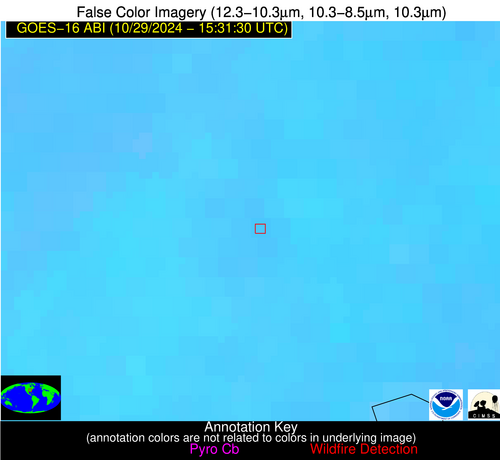
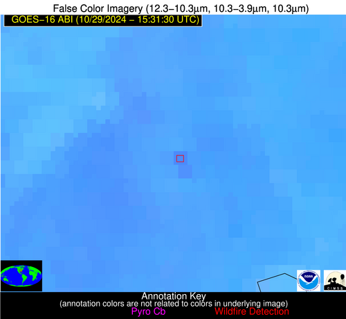
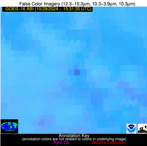
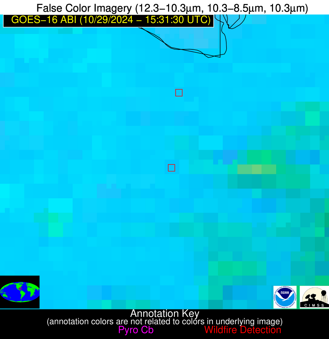
| Latest Satellite Imagery: | |
| View all event imagery » | |
Possible Wildfire
| Basic Information | |
|---|---|
| State/Province(s) | LA |
| Country/Countries | USA |
| County/Locality(s) | West Baton Rouge Parish, LA |
| NWS WFO | New Orleans LA |
| Identification Method | Enhanced Contextual (Clear) |
| Mean Object Date/Time | 2024-10-29 15:32:20UTC |
| Radiative Center (Lat, Lon): | 30.330000°, -91.270000° |
| Nearby Counties (meeting alert criteria): |
|
| Total Radiative Power Anomaly | n/a |
| Total Radiative Power | 18.40 MW |
| Map: | |
| Additional Information | |
| Alert Status | New Feature |
| Type of Event | Nonmetal-mineral |
| Event Priority Ranking | 5 |
| Maximum Observed BT (3.9 um) | 308.70 K |
| Observed - Background BT (3.9 um) | 7.67 K |
| BT Anomaly (3.9 um) | 4.23 K |
| Maximum Observed - Clear RTM BT (3.9 um) | 13.33 K |
| Maximum Observed BTD (3.9-10/11/12 um) | 14.48 K |
| Observed - Background BTD (3.9-10/11/12 um) | 6.62 K |
| BTD Anomaly (3.9-10/11/12 um) | 4.46 K |
| Similar Pixel Count | 6 |
| BT Time Tendency (3.9 um) | 2.80 K |
| Image Interval | 5.00 minutes |
| Fraction of Surrounding LWIR Pixels that are Colder | 0.95 |
| Fraction of Surrounding Red Channel Pixels that are Brighter | 0.81 |
| Maximum Radiative Power | 18.40 MW |
| Maximum Radiative Power Uncertainty | 0.00 MW |
| Total Radiative Power Uncertainty | 0.00 MW |
| Mean Viewing Angle | 39.60° |
| Mean Solar Zenith Angle | 55.00° |
| Mean Glint Angle | 93.90° |
| Water Fraction | 0.00 |
| Total Pixel Area | 5.70 km2 |
| Latest Satellite Imagery: | |
| View all event imagery » | |
Possible Wildfire
| Basic Information | |
|---|---|
| State/Province(s) | FL |
| Country/Countries | USA |
| County/Locality(s) | Palm Beach County, FL |
| NWS WFO | Miami FL |
| Identification Method | Enhanced Contextual (Cloud) |
| Mean Object Date/Time | 2024-10-29 15:32:52UTC |
| Radiative Center (Lat, Lon): | 26.490000°, -80.820000° |
| Nearby Counties (meeting alert criteria): |
|
| Total Radiative Power Anomaly | n/a |
| Total Radiative Power | 20.02 MW |
| Map: | |
| Additional Information | |
| Alert Status | New Feature |
| Type of Event | Nominal Risk |
| Event Priority Ranking | 4 |
| Maximum Observed BT (3.9 um) | 309.88 K |
| Observed - Background BT (3.9 um) | 7.42 K |
| BT Anomaly (3.9 um) | 5.39 K |
| Maximum Observed - Clear RTM BT (3.9 um) | 13.84 K |
| Maximum Observed BTD (3.9-10/11/12 um) | 19.28 K |
| Observed - Background BTD (3.9-10/11/12 um) | 6.78 K |
| BTD Anomaly (3.9-10/11/12 um) | 4.99 K |
| Similar Pixel Count | 0 |
| BT Time Tendency (3.9 um) | 7.70 K |
| Image Interval | 5.00 minutes |
| Fraction of Surrounding LWIR Pixels that are Colder | 0.91 |
| Fraction of Surrounding Red Channel Pixels that are Brighter | 1.00 |
| Maximum Radiative Power | 20.02 MW |
| Maximum Radiative Power Uncertainty | 0.00 MW |
| Total Radiative Power Uncertainty | 0.00 MW |
| Mean Viewing Angle | 31.70° |
| Mean Solar Zenith Angle | 46.30° |
| Mean Glint Angle | 76.60° |
| Water Fraction | 0.00 |
| Total Pixel Area | 5.00 km2 |
| Latest Satellite Imagery: | |
| View all event imagery » | |


