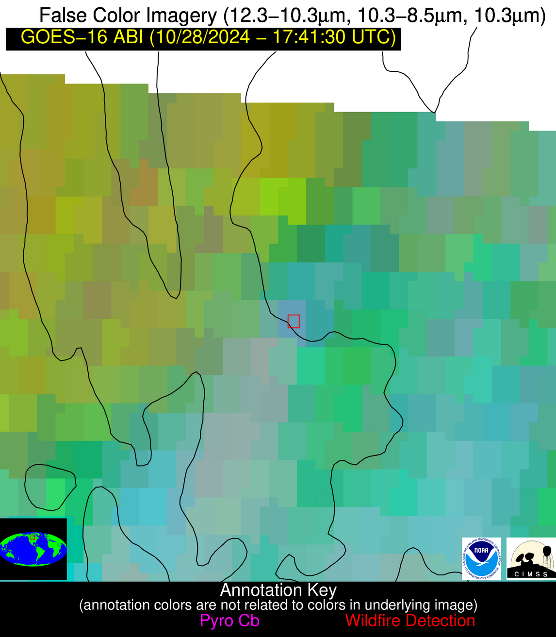
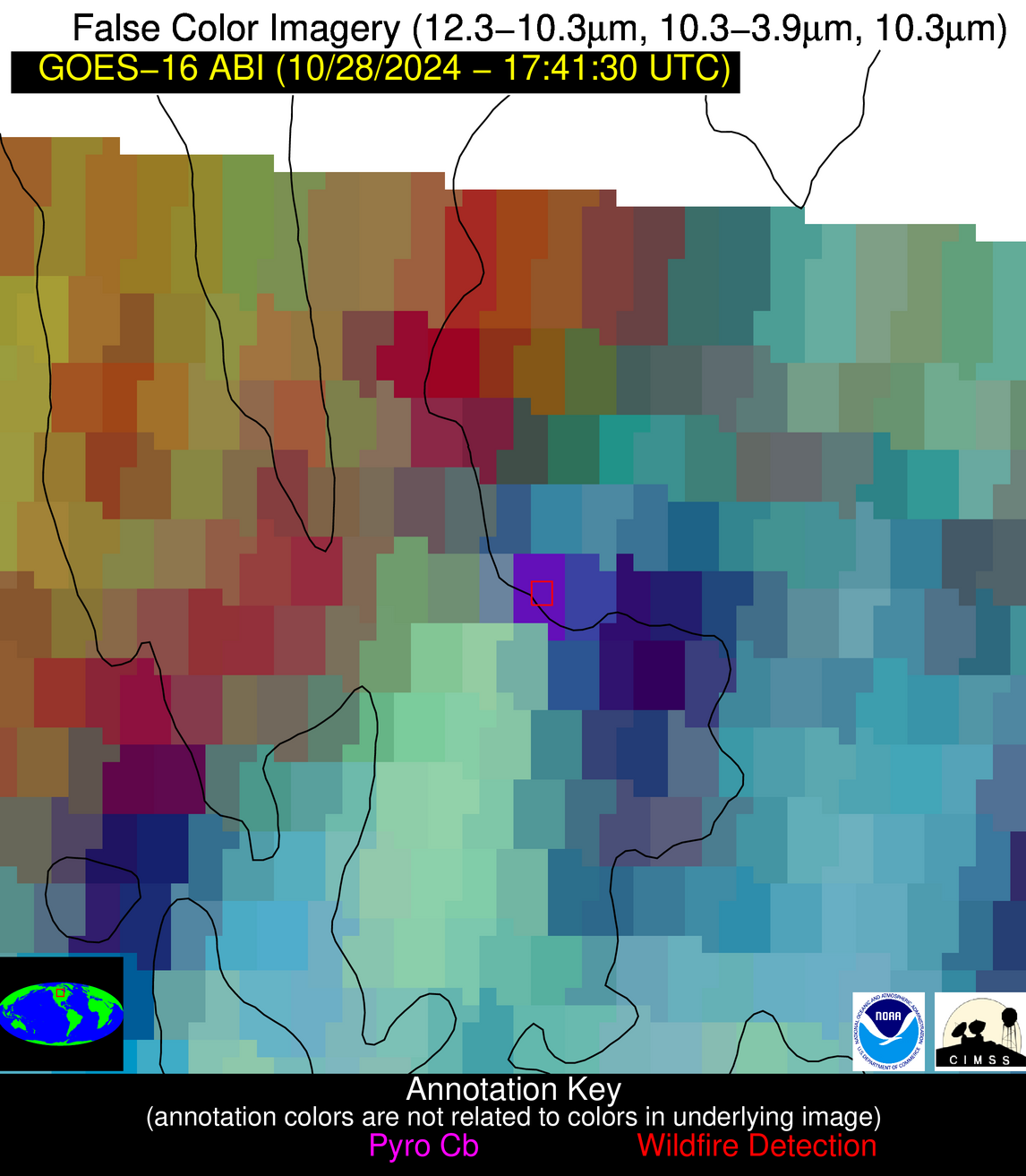
Please consider accessing NGFS detections and satellite imagery through the NOAA/NESDIS Wildland Fire Data Portal: https://fire.data.nesdis.noaa.gov/map/
Wildfire Notification Report
| Date: | 2024-10-28 |
|---|---|
| Time: | 17:41:17 |
| Production Date and Time: | 2024-10-28 17:46:03 UTC |
| Primary Instrument: | GOES-16 ABI |
| Wmo Spacecraft Id: | 152 |
| Location/orbit: | GEO |
| L1 File: | OR_ABI-L1b-RadC-M6C14_G16_s20243021741170_e20243021743543_c20243021744025.nc |
| L1 File(s) - Temporal | OR_ABI-L1b-RadC-M6C14_G16_s20243021736170_e20243021738543_c20243021739012.nc |
| Number Of Thermal Anomaly Notifications: | 5 |
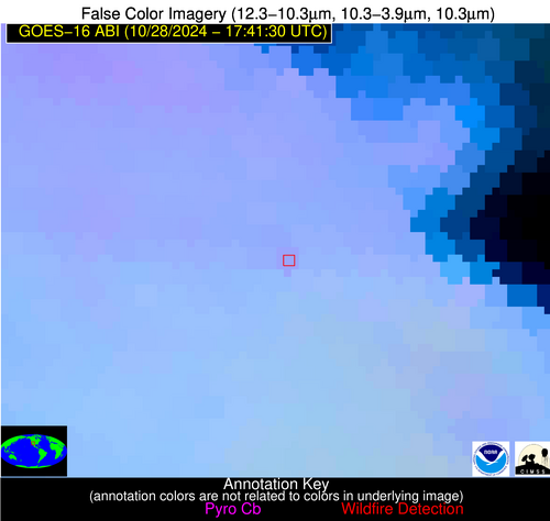
Possible Wildfire
| Basic Information | |
|---|---|
| State/Province(s) | Manitoba |
| Country/Countries | Canada |
| County/Locality(s) | Division No. 18, Manitoba |
| NWS WFO | N/A |
| Identification Method | Enhanced Contextual (Cloud) |
| Mean Object Date/Time | 2024-10-28 17:41:20UTC |
| Radiative Center (Lat, Lon): | 51.310000°, -98.710000° |
| Nearby Counties (meeting notification criteria): |
|
| Total Radiative Power Anomaly | n/a |
| Total Radiative Power | 114.22 MW |
| Map: | |
| Additional Information | |
| Notification Status | New Feature |
| Type of Event | Nominal Risk |
| Event Priority Ranking | 4 |
| Maximum Observed BT (3.9 um) | 307.34 K |
| Observed - Background BT (3.9 um) | 23.56 K |
| BT Anomaly (3.9 um) | 7.10 K |
| Maximum Observed - Clear RTM BT (3.9 um) | 24.07 K |
| Maximum Observed BTD (3.9-10/11/12 um) | 30.39 K |
| Observed - Background BTD (3.9-10/11/12 um) | 23.06 K |
| BTD Anomaly (3.9-10/11/12 um) | 8.77 K |
| Similar Pixel Count | 0 |
| BT Time Tendency (3.9 um) | 19.00 K |
| Image Interval | 5.00 minutes |
| Fraction of Surrounding LWIR Pixels that are Colder | 0.88 |
| Fraction of Surrounding Red Channel Pixels that are Brighter | 0.68 |
| Maximum Radiative Power | 114.22 MW |
| Maximum Radiative Power Uncertainty | 0.00 MW |
| Total Radiative Power Uncertainty | 0.00 MW |
| Mean Viewing Angle | 63.10° |
| Mean Solar Zenith Angle | 65.10° |
| Mean Glint Angle | 125.00° |
| Water Fraction | 0.00 |
| Total Pixel Area | 11.50 km2 |
| Latest Satellite Imagery: | |
| View all event imagery » | |
Possible Wildfire
| Basic Information | |
|---|---|
| State/Province(s) | CA |
| Country/Countries | USA |
| County/Locality(s) | Solano County, CA |
| NWS WFO | Sacramento CA |
| Identification Method | Enhanced Contextual (Clear) |
| Mean Object Date/Time | 2024-10-28 17:41:48UTC |
| Radiative Center (Lat, Lon): | 38.340000°, -121.910000° |
| Nearby Counties (meeting notification criteria): |
|
| Total Radiative Power Anomaly | n/a |
| Total Radiative Power | 20.34 MW |
| Map: | |
| Additional Information | |
| Notification Status | New Feature |
| Type of Event | Nominal Risk |
| Event Priority Ranking | 4 |
| Maximum Observed BT (3.9 um) | 300.92 K |
| Observed - Background BT (3.9 um) | 5.11 K |
| BT Anomaly (3.9 um) | 3.27 K |
| Maximum Observed - Clear RTM BT (3.9 um) | 11.87 K |
| Maximum Observed BTD (3.9-10/11/12 um) | 15.51 K |
| Observed - Background BTD (3.9-10/11/12 um) | 4.28 K |
| BTD Anomaly (3.9-10/11/12 um) | 4.31 K |
| Similar Pixel Count | 22 |
| BT Time Tendency (3.9 um) | 1.60 K |
| Image Interval | 5.00 minutes |
| Fraction of Surrounding LWIR Pixels that are Colder | 0.91 |
| Fraction of Surrounding Red Channel Pixels that are Brighter | 0.67 |
| Maximum Radiative Power | 20.34 MW |
| Maximum Radiative Power Uncertainty | 0.00 MW |
| Total Radiative Power Uncertainty | 0.00 MW |
| Mean Viewing Angle | 65.80° |
| Mean Solar Zenith Angle | 59.90° |
| Mean Glint Angle | 121.50° |
| Water Fraction | 0.00 |
| Total Pixel Area | 16.20 km2 |
| Latest Satellite Imagery: | |
| View all event imagery » | |
Possible Wildfire
| Basic Information | |
|---|---|
| State/Province(s) | AZ |
| Country/Countries | USA |
| County/Locality(s) | Apache County, AZ |
| NWS WFO | Flagstaff AZ |
| Identification Method | Enhanced Contextual (Clear) |
| Mean Object Date/Time | 2024-10-28 17:42:19UTC |
| Radiative Center (Lat, Lon): | 34.220000°, -109.770000° |
| Nearby Counties (meeting notification criteria): |
|
| Total Radiative Power Anomaly | n/a |
| Total Radiative Power | 12.86 MW |
| Map: | |
| Additional Information | |
| Notification Status | New Feature |
| Type of Event | Elevated SPC Risk, Known Incident: D7 - ORTEGA RX (HIGH, tdiff=2.74965 days, POINT) |
| Event Priority Ranking | 3 |
| Maximum Observed BT (3.9 um) | 303.01 K |
| Observed - Background BT (3.9 um) | 5.29 K |
| BT Anomaly (3.9 um) | 2.41 K |
| Maximum Observed - Clear RTM BT (3.9 um) | 8.86 K |
| Maximum Observed BTD (3.9-10/11/12 um) | 8.46 K |
| Observed - Background BTD (3.9-10/11/12 um) | 2.89 K |
| BTD Anomaly (3.9-10/11/12 um) | 1.83 K |
| Similar Pixel Count | 15 |
| BT Time Tendency (3.9 um) | 1.20 K |
| Image Interval | 5.00 minutes |
| Fraction of Surrounding LWIR Pixels that are Colder | 0.44 |
| Fraction of Surrounding Red Channel Pixels that are Brighter | 1.00 |
| Maximum Radiative Power | 12.86 MW |
| Maximum Radiative Power Uncertainty | 0.00 MW |
| Total Radiative Power Uncertainty | 0.00 MW |
| Mean Viewing Angle | 54.40° |
| Mean Solar Zenith Angle | 51.30° |
| Mean Glint Angle | 102.20° |
| Water Fraction | 0.00 |
| Total Pixel Area | 8.90 km2 |
| Latest Satellite Imagery: | |
| View all event imagery » | |
Possible Wildfire
| Basic Information | |
|---|---|
| State/Province(s) | LA |
| Country/Countries | USA |
| County/Locality(s) | Pointe Coupee Parish, LA |
| NWS WFO | New Orleans LA |
| Identification Method | Enhanced Contextual (Clear) |
| Mean Object Date/Time | 2024-10-28 17:42:20UTC |
| Radiative Center (Lat, Lon): | 30.690000°, -91.370000° |
| Nearby Counties (meeting notification criteria): |
|
| Total Radiative Power Anomaly | n/a |
| Total Radiative Power | 4.52 MW |
| Map: | |
| Additional Information | |
| Notification Status | New Feature |
| Type of Event | Nominal Risk |
| Event Priority Ranking | 4 |
| Maximum Observed BT (3.9 um) | 309.23 K |
| Observed - Background BT (3.9 um) | 3.38 K |
| BT Anomaly (3.9 um) | 1.38 K |
| Maximum Observed - Clear RTM BT (3.9 um) | 8.13 K |
| Maximum Observed BTD (3.9-10/11/12 um) | 11.67 K |
| Observed - Background BTD (3.9-10/11/12 um) | 2.40 K |
| BTD Anomaly (3.9-10/11/12 um) | 1.46 K |
| Similar Pixel Count | 18 |
| BT Time Tendency (3.9 um) | 0.60 K |
| Image Interval | 5.00 minutes |
| Fraction of Surrounding LWIR Pixels that are Colder | 0.87 |
| Fraction of Surrounding Red Channel Pixels that are Brighter | 0.83 |
| Maximum Radiative Power | 4.52 MW |
| Maximum Radiative Power Uncertainty | 0.00 MW |
| Total Radiative Power Uncertainty | 0.00 MW |
| Mean Viewing Angle | 40.10° |
| Mean Solar Zenith Angle | 44.00° |
| Mean Glint Angle | 81.30° |
| Water Fraction | 0.00 |
| Total Pixel Area | 5.80 km2 |
| Latest Satellite Imagery: | |
| View all event imagery » | |
Possible Wildfire
| Basic Information | |
|---|---|
| State/Province(s) | LA |
| Country/Countries | USA |
| County/Locality(s) | Beauregard Parish, LA |
| NWS WFO | Lake Charles LA |
| Identification Method | Enhanced Contextual (Clear) |
| Mean Object Date/Time | 2024-10-28 17:42:20UTC |
| Radiative Center (Lat, Lon): | 30.600000°, -93.050000° |
| Nearby Counties (meeting notification criteria): |
|
| Total Radiative Power Anomaly | n/a |
| Total Radiative Power | 9.50 MW |
| Map: | |
| Additional Information | |
| Notification Status | New Feature |
| Type of Event | Nominal Risk |
| Event Priority Ranking | 4 |
| Maximum Observed BT (3.9 um) | 307.04 K |
| Observed - Background BT (3.9 um) | 3.06 K |
| BT Anomaly (3.9 um) | 2.70 K |
| Maximum Observed - Clear RTM BT (3.9 um) | 7.08 K |
| Maximum Observed BTD (3.9-10/11/12 um) | 10.22 K |
| Observed - Background BTD (3.9-10/11/12 um) | 2.37 K |
| BTD Anomaly (3.9-10/11/12 um) | 2.55 K |
| Similar Pixel Count | 24 |
| BT Time Tendency (3.9 um) | 1.40 K |
| Image Interval | 5.00 minutes |
| Fraction of Surrounding LWIR Pixels that are Colder | 0.84 |
| Fraction of Surrounding Red Channel Pixels that are Brighter | 1.00 |
| Maximum Radiative Power | 9.50 MW |
| Maximum Radiative Power Uncertainty | 0.00 MW |
| Total Radiative Power Uncertainty | 0.00 MW |
| Mean Viewing Angle | 40.80° |
| Mean Solar Zenith Angle | 44.00° |
| Mean Glint Angle | 81.90° |
| Water Fraction | 0.00 |
| Total Pixel Area | 5.90 km2 |
| Latest Satellite Imagery: | |
| View all event imagery » | |

