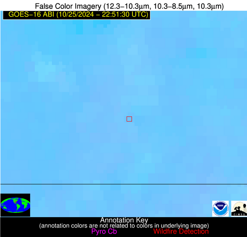
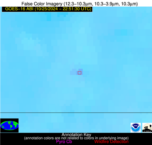
Wildfire Alert Report
| Date: | 2024-10-25 |
|---|---|
| Time: | 22:51:16 |
| Production Date and Time: | 2024-10-25 22:55:56 UTC |
| Primary Instrument: | GOES-16 ABI |
| Wmo Spacecraft Id: | 152 |
| Location/orbit: | GEO |
| L1 File: | OR_ABI-L1b-RadC-M6C14_G16_s20242992251164_e20242992253537_c20242992254000.nc |
| L1 File(s) - Temporal | OR_ABI-L1b-RadC-M6C14_G16_s20242992246164_e20242992248537_c20242992249003.nc |
| Number Of Thermal Anomaly Alerts: | 3 |
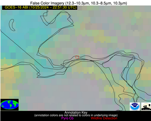
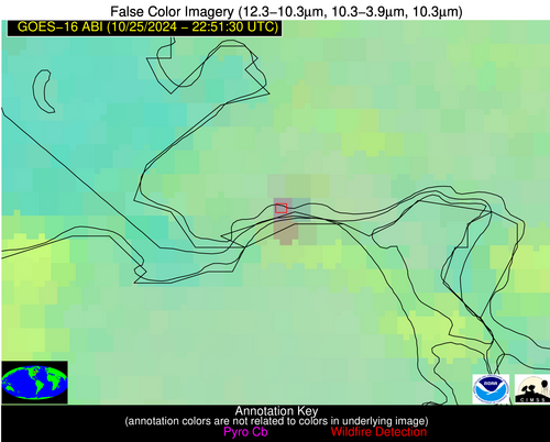
Possible Wildfire
| Basic Information | |
|---|---|
| State/Province(s) | Ontario |
| Country/Countries | Canada |
| County/Locality(s) | Algoma, Ontario |
| NWS WFO | N/A |
| Identification Method | Enhanced Contextual (Clear) |
| Mean Object Date/Time | 2024-10-25 22:51:21UTC |
| Radiative Center (Lat, Lon): | 46.520000°, -84.400000° |
| Nearby Counties (meeting alert criteria): |
|
| Total Radiative Power Anomaly | n/a |
| Total Radiative Power | 37.14 MW |
| Map: | |
| Additional Information | |
| Alert Status | New Feature |
| Type of Event | Ferrous-metal |
| Event Priority Ranking | 5 |
| Maximum Observed BT (3.9 um) | 282.80 K |
| Observed - Background BT (3.9 um) | 8.01 K |
| BT Anomaly (3.9 um) | 4.84 K |
| Maximum Observed - Clear RTM BT (3.9 um) | 5.56 K |
| Maximum Observed BTD (3.9-10/11/12 um) | 9.05 K |
| Observed - Background BTD (3.9-10/11/12 um) | 8.47 K |
| BTD Anomaly (3.9-10/11/12 um) | 14.66 K |
| Similar Pixel Count | 2 |
| BT Time Tendency (3.9 um) | 9.20 K |
| Image Interval | 5.00 minutes |
| Fraction of Surrounding LWIR Pixels that are Colder | 0.28 |
| Fraction of Surrounding Red Channel Pixels that are Brighter | 1.00 |
| Maximum Radiative Power | 22.04 MW |
| Maximum Radiative Power Uncertainty | 0.00 MW |
| Total Radiative Power Uncertainty | 0.00 MW |
| Mean Viewing Angle | 54.50° |
| Mean Solar Zenith Angle | 93.80° |
| Mean Glint Angle | 93.20° |
| Water Fraction | 0.00 |
| Total Pixel Area | 15.80 km2 |
| Latest Satellite Imagery: | |
| View all event imagery » | |
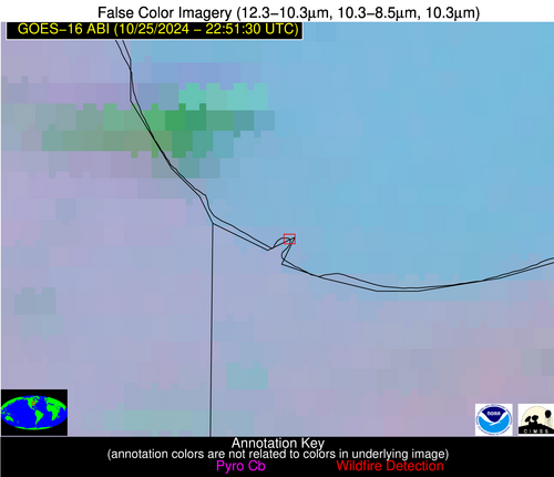
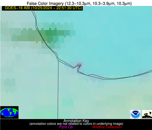
Possible Wildfire
| Basic Information | |
|---|---|
| State/Province(s) | IN |
| Country/Countries | USA |
| County/Locality(s) | Lake County, IN |
| NWS WFO | Unknown |
| Identification Method | Enhanced Contextual (Clear) |
| Mean Object Date/Time | 2024-10-25 22:51:50UTC |
| Radiative Center (Lat, Lon): | 41.680000°, -87.420000° |
| Nearby Counties (meeting alert criteria): |
|
| Total Radiative Power Anomaly | n/a |
| Total Radiative Power | 5.84 MW |
| Map: | |
| Additional Information | |
| Alert Status | New Feature |
| Type of Event | Ferrous-metal |
| Event Priority Ranking | 5 |
| Maximum Observed BT (3.9 um) | 288.48 K |
| Observed - Background BT (3.9 um) | 3.66 K |
| BT Anomaly (3.9 um) | 2.83 K |
| Maximum Observed - Clear RTM BT (3.9 um) | 2.43 K |
| Maximum Observed BTD (3.9-10/11/12 um) | 5.03 K |
| Observed - Background BTD (3.9-10/11/12 um) | 3.31 K |
| BTD Anomaly (3.9-10/11/12 um) | 6.89 K |
| Similar Pixel Count | 4 |
| BT Time Tendency (3.9 um) | 0.20 K |
| Image Interval | 5.00 minutes |
| Fraction of Surrounding LWIR Pixels that are Colder | 0.69 |
| Fraction of Surrounding Red Channel Pixels that are Brighter | 1.00 |
| Maximum Radiative Power | 5.84 MW |
| Maximum Radiative Power Uncertainty | 0.00 MW |
| Total Radiative Power Uncertainty | 0.00 MW |
| Mean Viewing Angle | 50.00° |
| Mean Solar Zenith Angle | 90.40° |
| Mean Glint Angle | 88.80° |
| Water Fraction | 1.00 |
| Total Pixel Area | 7.10 km2 |
| Latest Satellite Imagery: | |
| View all event imagery » | |
Possible Wildfire
| Basic Information | |
|---|---|
| State/Province(s) | AR |
| Country/Countries | USA |
| County/Locality(s) | Ashley County, AR |
| NWS WFO | Jackson MS |
| Identification Method | Enhanced Contextual (Clear) |
| Mean Object Date/Time | 2024-10-25 22:52:19UTC |
| Radiative Center (Lat, Lon): | 33.160000°, -91.510000° |
| Nearby Counties (meeting alert criteria): |
|
| Total Radiative Power Anomaly | n/a |
| Total Radiative Power | 13.27 MW |
| Map: | |
| Additional Information | |
| Alert Status | New Feature |
| Type of Event | Nominal Risk |
| Event Priority Ranking | 4 |
| Maximum Observed BT (3.9 um) | 299.79 K |
| Observed - Background BT (3.9 um) | 4.81 K |
| BT Anomaly (3.9 um) | 6.15 K |
| Maximum Observed - Clear RTM BT (3.9 um) | 6.05 K |
| Maximum Observed BTD (3.9-10/11/12 um) | 7.22 K |
| Observed - Background BTD (3.9-10/11/12 um) | 4.78 K |
| BTD Anomaly (3.9-10/11/12 um) | 8.65 K |
| Similar Pixel Count | 1 |
| BT Time Tendency (3.9 um) | 1.30 K |
| Image Interval | 5.00 minutes |
| Fraction of Surrounding LWIR Pixels that are Colder | 0.55 |
| Fraction of Surrounding Red Channel Pixels that are Brighter | 0.68 |
| Maximum Radiative Power | 13.27 MW |
| Maximum Radiative Power Uncertainty | 0.00 MW |
| Total Radiative Power Uncertainty | 0.00 MW |
| Mean Viewing Angle | 42.60° |
| Mean Solar Zenith Angle | 84.80° |
| Mean Glint Angle | 79.50° |
| Water Fraction | 0.00 |
| Total Pixel Area | 6.00 km2 |
| Latest Satellite Imagery: | |
| View all event imagery » | |
