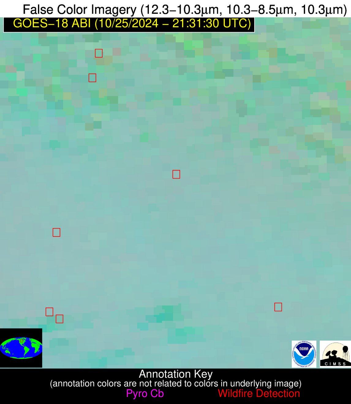
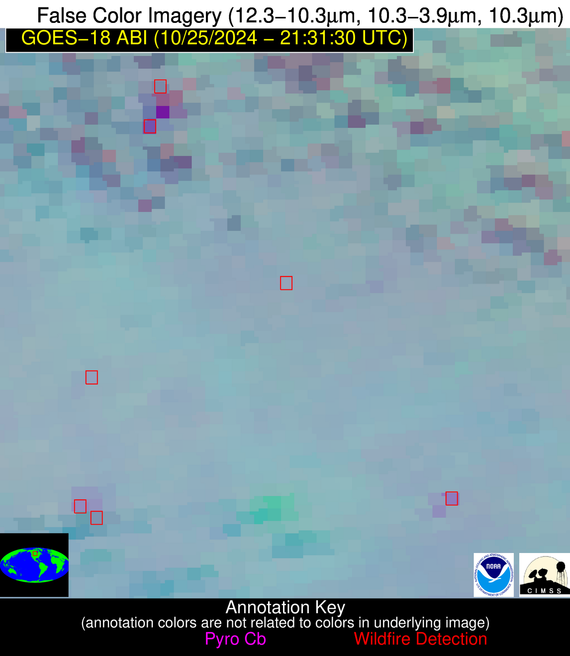
Please consider accessing NGFS detections and satellite imagery through the NOAA/NESDIS Wildland Fire Data Portal: https://fire.data.nesdis.noaa.gov/map/
Wildfire Notification Report
| Date: | 2024-10-25 |
|---|---|
| Time: | 21:31:18 |
| Production Date and Time: | 2024-10-25 21:36:01 UTC |
| Primary Instrument: | GOES-18 ABI |
| Wmo Spacecraft Id: | 665 |
| Location/orbit: | GEO |
| L1 File: | OR_ABI-L1b-RadC-M6C14_G18_s20242992131188_e20242992133561_c20242992134060.nc |
| L1 File(s) - Temporal | OR_ABI-L1b-RadC-M6C14_G18_s20242992126188_e20242992128561_c20242992129047.nc |
| Number Of Thermal Anomaly Notifications: | 3 |
Possible Wildfire
| Basic Information | |
|---|---|
| State/Province(s) | Manitoba |
| Country/Countries | Canada |
| County/Locality(s) | Division No. 16, Manitoba |
| NWS WFO | N/A |
| Identification Method | Enhanced Contextual (Cloud) |
| Mean Object Date/Time | 2024-10-25 21:31:25UTC |
| Radiative Center (Lat, Lon): | 50.710000°, -101.120000° |
| Nearby Counties (meeting notification criteria): |
|
| Total Radiative Power Anomaly | n/a |
| Total Radiative Power | 53.31 MW |
| Map: | |
| Additional Information | |
| Notification Status | New Feature |
| Type of Event | Nominal Risk |
| Event Priority Ranking | 4 |
| Maximum Observed BT (3.9 um) | 296.02 K |
| Observed - Background BT (3.9 um) | 11.29 K |
| BT Anomaly (3.9 um) | 7.72 K |
| Maximum Observed - Clear RTM BT (3.9 um) | 22.34 K |
| Maximum Observed BTD (3.9-10/11/12 um) | 20.60 K |
| Observed - Background BTD (3.9-10/11/12 um) | 11.43 K |
| BTD Anomaly (3.9-10/11/12 um) | 6.66 K |
| Similar Pixel Count | 0 |
| BT Time Tendency (3.9 um) | 5.70 K |
| Image Interval | 5.00 minutes |
| Fraction of Surrounding LWIR Pixels that are Colder | 0.45 |
| Fraction of Surrounding Red Channel Pixels that are Brighter | 0.55 |
| Maximum Radiative Power | 53.31 MW |
| Maximum Radiative Power Uncertainty | 0.00 MW |
| Total Radiative Power Uncertainty | 0.00 MW |
| Mean Viewing Angle | 67.60° |
| Mean Solar Zenith Angle | 74.50° |
| Mean Glint Angle | 142.00° |
| Water Fraction | 0.00 |
| Total Pixel Area | 16.20 km2 |
| Latest Satellite Imagery: | |
| View all event imagery » | |
Possible Wildfire
| Basic Information | |
|---|---|
| State/Province(s) | Manitoba |
| Country/Countries | Canada |
| County/Locality(s) | Division No. 7, Manitoba |
| NWS WFO | N/A |
| Identification Method | Enhanced Contextual (Clear) |
| Mean Object Date/Time | 2024-10-25 21:31:25UTC |
| Radiative Center (Lat, Lon): | 49.690000°, -100.220000° |
| Nearby Counties (meeting notification criteria): |
|
| Total Radiative Power Anomaly | n/a |
| Total Radiative Power | 46.63 MW |
| Map: | |
| Additional Information | |
| Notification Status | New Feature |
| Type of Event | Nominal Risk |
| Event Priority Ranking | 4 |
| Maximum Observed BT (3.9 um) | 293.45 K |
| Observed - Background BT (3.9 um) | 7.09 K |
| BT Anomaly (3.9 um) | 11.63 K |
| Maximum Observed - Clear RTM BT (3.9 um) | 17.97 K |
| Maximum Observed BTD (3.9-10/11/12 um) | 14.70 K |
| Observed - Background BTD (3.9-10/11/12 um) | 6.96 K |
| BTD Anomaly (3.9-10/11/12 um) | 11.22 K |
| Similar Pixel Count | 2 |
| BT Time Tendency (3.9 um) | 5.00 K |
| Image Interval | 5.00 minutes |
| Fraction of Surrounding LWIR Pixels that are Colder | 0.62 |
| Fraction of Surrounding Red Channel Pixels that are Brighter | 0.98 |
| Maximum Radiative Power | 46.63 MW |
| Maximum Radiative Power Uncertainty | 0.00 MW |
| Total Radiative Power Uncertainty | 0.00 MW |
| Mean Viewing Angle | 67.20° |
| Mean Solar Zenith Angle | 74.20° |
| Mean Glint Angle | 141.30° |
| Water Fraction | 0.00 |
| Total Pixel Area | 32.10 km2 |
| Latest Satellite Imagery: | |
| View all event imagery » | |
Possible Wildfire
| Basic Information | |
|---|---|
| State/Province(s) | CA |
| Country/Countries | USA |
| County/Locality(s) | Mendocino County, CA |
| NWS WFO | Eureka CA |
| Identification Method | Enhanced Contextual (Clear) |
| Mean Object Date/Time | 2024-10-25 21:31:53UTC |
| Radiative Center (Lat, Lon): | 39.710000°, -123.530000° |
| Nearby Counties (meeting notification criteria): |
|
| Total Radiative Power Anomaly | n/a |
| Total Radiative Power | 21.87 MW |
| Map: | |
| Additional Information | |
| Notification Status | New Feature |
| Type of Event | Nominal Risk |
| Event Priority Ranking | 4 |
| Maximum Observed BT (3.9 um) | 303.93 K |
| Observed - Background BT (3.9 um) | 3.92 K |
| BT Anomaly (3.9 um) | 1.99 K |
| Maximum Observed - Clear RTM BT (3.9 um) | 12.81 K |
| Maximum Observed BTD (3.9-10/11/12 um) | 8.88 K |
| Observed - Background BTD (3.9-10/11/12 um) | 3.71 K |
| BTD Anomaly (3.9-10/11/12 um) | 4.19 K |
| Similar Pixel Count | 6 |
| BT Time Tendency (3.9 um) | 1.50 K |
| Image Interval | 5.00 minutes |
| Fraction of Surrounding LWIR Pixels that are Colder | 0.62 |
| Fraction of Surrounding Red Channel Pixels that are Brighter | 0.70 |
| Maximum Radiative Power | 12.23 MW |
| Maximum Radiative Power Uncertainty | 0.00 MW |
| Total Radiative Power Uncertainty | 0.00 MW |
| Mean Viewing Angle | 48.20° |
| Mean Solar Zenith Angle | 56.30° |
| Mean Glint Angle | 104.30° |
| Water Fraction | 0.00 |
| Total Pixel Area | 13.60 km2 |
| Latest Satellite Imagery: | |
| View all event imagery » | |


