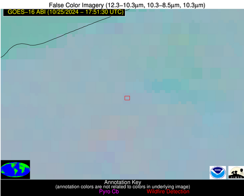
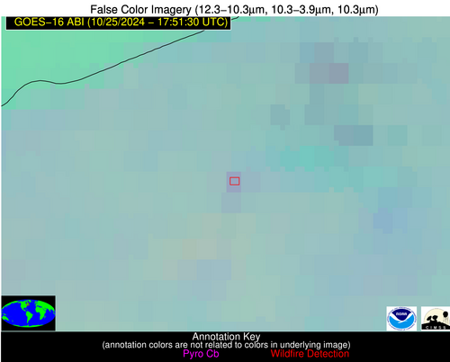
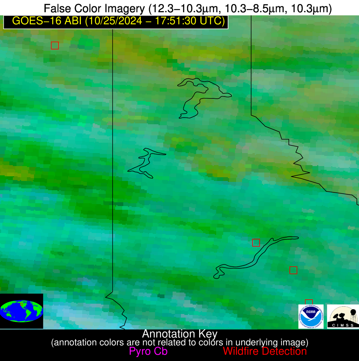
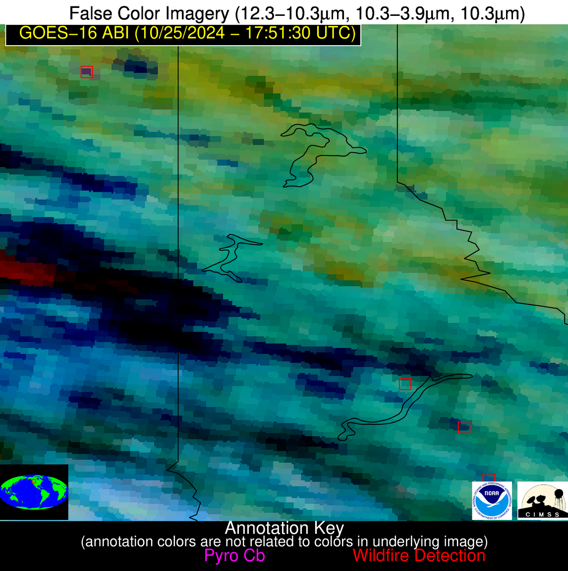
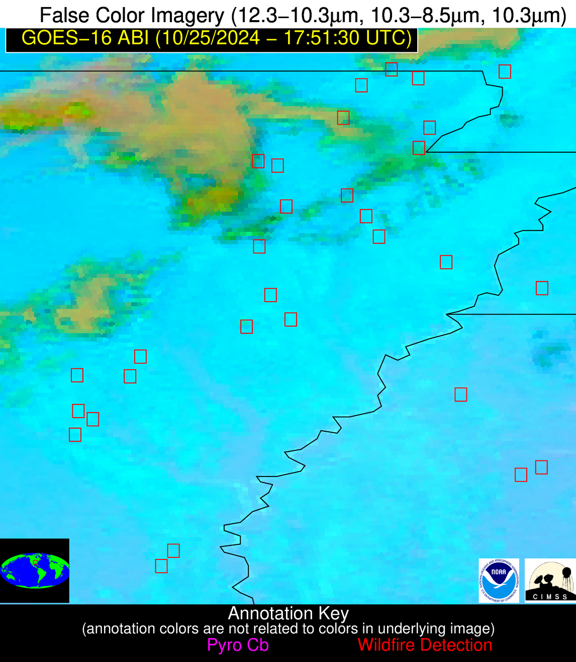
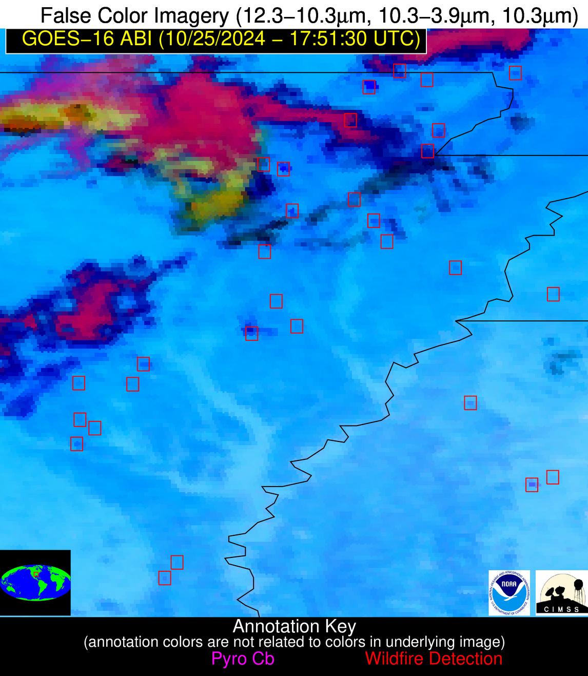
Please consider accessing NGFS detections and satellite imagery through the NOAA/NESDIS Wildland Fire Data Portal: https://fire.data.nesdis.noaa.gov/map/
Wildfire Alert Report
| Date: | 2024-10-25 |
|---|---|
| Time: | 17:51:16 |
| Production Date and Time: | 2024-10-25 17:55:55 UTC |
| Primary Instrument: | GOES-16 ABI |
| Wmo Spacecraft Id: | 152 |
| Location/orbit: | GEO |
| L1 File: | OR_ABI-L1b-RadC-M6C14_G16_s20242991751164_e20242991753537_c20242991754015.nc |
| L1 File(s) - Temporal | OR_ABI-L1b-RadC-M6C14_G16_s20242991746164_e20242991748537_c20242991749012.nc |
| Number Of Thermal Anomaly Alerts: | 7 |
Possible Wildfire
| Basic Information | |
|---|---|
| State/Province(s) | Quebec |
| Country/Countries | Canada |
| County/Locality(s) | La Matapédia, Quebec |
| NWS WFO | N/A |
| Identification Method | Enhanced Contextual (Clear) |
| Mean Object Date/Time | 2024-10-25 17:51:22UTC |
| Radiative Center (Lat, Lon): | 48.530000°, -67.710000° |
| Nearby Counties (meeting alert criteria): |
|
| Total Radiative Power Anomaly | n/a |
| Total Radiative Power | 9.87 MW |
| Map: | |
| Additional Information | |
| Alert Status | New Feature |
| Type of Event | Nominal Risk |
| Event Priority Ranking | 4 |
| Maximum Observed BT (3.9 um) | 288.16 K |
| Observed - Background BT (3.9 um) | 4.20 K |
| BT Anomaly (3.9 um) | 5.58 K |
| Maximum Observed - Clear RTM BT (3.9 um) | 10.17 K |
| Maximum Observed BTD (3.9-10/11/12 um) | 8.51 K |
| Observed - Background BTD (3.9-10/11/12 um) | 3.77 K |
| BTD Anomaly (3.9-10/11/12 um) | 5.39 K |
| Similar Pixel Count | 3 |
| BT Time Tendency (3.9 um) | 0.60 K |
| Image Interval | 5.00 minutes |
| Fraction of Surrounding LWIR Pixels that are Colder | 0.75 |
| Fraction of Surrounding Red Channel Pixels that are Brighter | 0.99 |
| Maximum Radiative Power | 9.87 MW |
| Maximum Radiative Power Uncertainty | 0.00 MW |
| Total Radiative Power Uncertainty | 0.00 MW |
| Mean Viewing Angle | 56.50° |
| Mean Solar Zenith Angle | 64.50° |
| Mean Glint Angle | 118.90° |
| Water Fraction | 0.00 |
| Total Pixel Area | 8.30 km2 |
| Latest Satellite Imagery: | |
| View all event imagery » | |
Possible Wildfire
| Basic Information | |
|---|---|
| State/Province(s) | WA |
| Country/Countries | USA |
| County/Locality(s) | Pend Oreille County, WA |
| NWS WFO | Spokane WA |
| Identification Method | Enhanced Contextual (Clear) |
| Mean Object Date/Time | 2024-10-25 17:51:18UTC |
| Radiative Center (Lat, Lon): | 48.610000°, -117.440000° |
| Nearby Counties (meeting alert criteria): |
|
| Total Radiative Power Anomaly | n/a |
| Total Radiative Power | 73.32 MW |
| Map: | |
| Additional Information | |
| Alert Status | New Feature |
| Type of Event | Nominal Risk, Known Incident: NP RX - HIGH NOON STEWARDSHIP (HIGH, tdiff=0.09017 days, POINT) |
| Event Priority Ranking | 4 |
| Maximum Observed BT (3.9 um) | 284.86 K |
| Observed - Background BT (3.9 um) | 14.76 K |
| BT Anomaly (3.9 um) | 6.96 K |
| Maximum Observed - Clear RTM BT (3.9 um) | 10.31 K |
| Maximum Observed BTD (3.9-10/11/12 um) | 27.54 K |
| Observed - Background BTD (3.9-10/11/12 um) | 14.85 K |
| BTD Anomaly (3.9-10/11/12 um) | 9.12 K |
| Similar Pixel Count | 2 |
| BT Time Tendency (3.9 um) | -5.10 K |
| Image Interval | 5.00 minutes |
| Fraction of Surrounding LWIR Pixels that are Colder | 0.81 |
| Fraction of Surrounding Red Channel Pixels that are Brighter | 1.00 |
| Maximum Radiative Power | 73.32 MW |
| Maximum Radiative Power Uncertainty | 0.00 MW |
| Total Radiative Power Uncertainty | 0.00 MW |
| Mean Viewing Angle | 69.30° |
| Mean Solar Zenith Angle | 65.00° |
| Mean Glint Angle | 129.30° |
| Water Fraction | 0.00 |
| Total Pixel Area | 19.60 km2 |
| Latest Satellite Imagery: | |
| View all event imagery » | |
Possible Wildfire
| Basic Information | |
|---|---|
| State/Province(s) | ID |
| Country/Countries | USA |
| County/Locality(s) | Idaho County, ID |
| NWS WFO | Missoula MT |
| Identification Method | Enhanced Contextual (Cloud) |
| Mean Object Date/Time | 2024-10-25 17:51:18UTC |
| Radiative Center (Lat, Lon): | 46.300000°, -115.640000° |
| Nearby Counties (meeting alert criteria): |
|
| Total Radiative Power Anomaly | n/a |
| Total Radiative Power | 44.26 MW |
| Map: | |
| Additional Information | |
| Alert Status | New Feature |
| Type of Event | Nominal Risk |
| Event Priority Ranking | 4 |
| Maximum Observed BT (3.9 um) | 289.42 K |
| Observed - Background BT (3.9 um) | 10.49 K |
| BT Anomaly (3.9 um) | 8.05 K |
| Maximum Observed - Clear RTM BT (3.9 um) | 7.39 K |
| Maximum Observed BTD (3.9-10/11/12 um) | 24.75 K |
| Observed - Background BTD (3.9-10/11/12 um) | 10.00 K |
| BTD Anomaly (3.9-10/11/12 um) | 5.16 K |
| Similar Pixel Count | 0 |
| BT Time Tendency (3.9 um) | 6.90 K |
| Image Interval | 5.00 minutes |
| Fraction of Surrounding LWIR Pixels that are Colder | 0.57 |
| Fraction of Surrounding Red Channel Pixels that are Brighter | 0.86 |
| Maximum Radiative Power | 44.26 MW |
| Maximum Radiative Power Uncertainty | 0.00 MW |
| Total Radiative Power Uncertainty | 0.00 MW |
| Mean Viewing Angle | 66.70° |
| Mean Solar Zenith Angle | 62.40° |
| Mean Glint Angle | 124.30° |
| Water Fraction | 0.00 |
| Total Pixel Area | 16.30 km2 |
| Latest Satellite Imagery: | |
| View all event imagery » | |
Possible Wildfire
| Basic Information | |
|---|---|
| State/Province(s) | MO |
| Country/Countries | USA |
| County/Locality(s) | Dunklin County, MO |
| NWS WFO | Memphis TN |
| Identification Method | Enhanced Contextual (Clear) |
| Mean Object Date/Time | 2024-10-25 17:51:50UTC |
| Radiative Center (Lat, Lon): | 36.500000°, -90.060000° |
| Nearby Counties (meeting alert criteria): |
|
| Total Radiative Power Anomaly | n/a |
| Total Radiative Power | 27.65 MW |
| Map: | |
| Additional Information | |
| Alert Status | New Feature |
| Type of Event | Nominal Risk |
| Event Priority Ranking | 4 |
| Maximum Observed BT (3.9 um) | 315.65 K |
| Observed - Background BT (3.9 um) | 4.33 K |
| BT Anomaly (3.9 um) | 1.73 K |
| Maximum Observed - Clear RTM BT (3.9 um) | 16.12 K |
| Maximum Observed BTD (3.9-10/11/12 um) | 24.67 K |
| Observed - Background BTD (3.9-10/11/12 um) | 4.62 K |
| BTD Anomaly (3.9-10/11/12 um) | 2.49 K |
| Similar Pixel Count | 25 |
| BT Time Tendency (3.9 um) | 4.20 K |
| Image Interval | 5.00 minutes |
| Fraction of Surrounding LWIR Pixels that are Colder | 0.65 |
| Fraction of Surrounding Red Channel Pixels that are Brighter | 0.98 |
| Maximum Radiative Power | 27.65 MW |
| Maximum Radiative Power Uncertainty | 0.00 MW |
| Total Radiative Power Uncertainty | 0.00 MW |
| Mean Viewing Angle | 45.40° |
| Mean Solar Zenith Angle | 48.80° |
| Mean Glint Angle | 91.00° |
| Water Fraction | 0.00 |
| Total Pixel Area | 6.40 km2 |
| Latest Satellite Imagery: | |
| View all event imagery » | |
Possible Wildfire
| Basic Information | |
|---|---|
| State/Province(s) | AR |
| Country/Countries | USA |
| County/Locality(s) | Lonoke County, AR |
| NWS WFO | Little Rock AR |
| Identification Method | Enhanced Contextual (Clear) |
| Mean Object Date/Time | 2024-10-25 17:52:19UTC |
| Radiative Center (Lat, Lon): | 34.620000°, -91.820000° |
| Nearby Counties (meeting alert criteria): |
|
| Total Radiative Power Anomaly | n/a |
| Total Radiative Power | 14.87 MW |
| Map: | |
| Additional Information | |
| Alert Status | New Feature |
| Type of Event | Nominal Risk |
| Event Priority Ranking | 4 |
| Maximum Observed BT (3.9 um) | 315.86 K |
| Observed - Background BT (3.9 um) | 5.00 K |
| BT Anomaly (3.9 um) | 2.14 K |
| Maximum Observed - Clear RTM BT (3.9 um) | 13.08 K |
| Maximum Observed BTD (3.9-10/11/12 um) | 17.93 K |
| Observed - Background BTD (3.9-10/11/12 um) | 4.49 K |
| BTD Anomaly (3.9-10/11/12 um) | 2.93 K |
| Similar Pixel Count | 25 |
| BT Time Tendency (3.9 um) | 2.10 K |
| Image Interval | 5.00 minutes |
| Fraction of Surrounding LWIR Pixels that are Colder | 0.86 |
| Fraction of Surrounding Red Channel Pixels that are Brighter | 0.94 |
| Maximum Radiative Power | 14.87 MW |
| Maximum Radiative Power Uncertainty | 0.00 MW |
| Total Radiative Power Uncertainty | 0.00 MW |
| Mean Viewing Angle | 44.20° |
| Mean Solar Zenith Angle | 46.90° |
| Mean Glint Angle | 87.70° |
| Water Fraction | 0.00 |
| Total Pixel Area | 6.30 km2 |
| Latest Satellite Imagery: | |
| View all event imagery » | |
Possible Wildfire
| Basic Information | |
|---|---|
| State/Province(s) | AR |
| Country/Countries | USA |
| County/Locality(s) | Drew County, AR |
| NWS WFO | Little Rock AR |
| Identification Method | Enhanced Contextual (Clear) |
| Mean Object Date/Time | 2024-10-25 17:52:19UTC |
| Radiative Center (Lat, Lon): | 33.450000°, -91.480000° |
| Nearby Counties (meeting alert criteria): |
|
| Total Radiative Power Anomaly | n/a |
| Total Radiative Power | 24.54 MW |
| Map: | |
| Additional Information | |
| Alert Status | New Feature |
| Type of Event | Nominal Risk |
| Event Priority Ranking | 4 |
| Maximum Observed BT (3.9 um) | 316.46 K |
| Observed - Background BT (3.9 um) | 3.82 K |
| BT Anomaly (3.9 um) | 2.06 K |
| Maximum Observed - Clear RTM BT (3.9 um) | 12.56 K |
| Maximum Observed BTD (3.9-10/11/12 um) | 15.51 K |
| Observed - Background BTD (3.9-10/11/12 um) | 4.71 K |
| BTD Anomaly (3.9-10/11/12 um) | 4.56 K |
| Similar Pixel Count | 18 |
| BT Time Tendency (3.9 um) | 3.80 K |
| Image Interval | 5.00 minutes |
| Fraction of Surrounding LWIR Pixels that are Colder | 0.44 |
| Fraction of Surrounding Red Channel Pixels that are Brighter | 0.68 |
| Maximum Radiative Power | 24.54 MW |
| Maximum Radiative Power Uncertainty | 0.00 MW |
| Total Radiative Power Uncertainty | 0.00 MW |
| Mean Viewing Angle | 42.90° |
| Mean Solar Zenith Angle | 45.70° |
| Mean Glint Angle | 85.20° |
| Water Fraction | 0.00 |
| Total Pixel Area | 6.10 km2 |
| Latest Satellite Imagery: | |
| View all event imagery » | |
Possible Wildfire
| Basic Information | |
|---|---|
| State/Province(s) | TX |
| Country/Countries | USA |
| County/Locality(s) | Ellis County, TX |
| NWS WFO | Fort Worth TX |
| Identification Method | Enhanced Contextual (Clear) |
| Mean Object Date/Time | 2024-10-25 17:52:19UTC |
| Radiative Center (Lat, Lon): | 32.240000°, -97.010000° |
| Nearby Counties (meeting alert criteria): |
|
| Total Radiative Power Anomaly | n/a |
| Total Radiative Power | 36.28 MW |
| Map: | |
| Additional Information | |
| Alert Status | New Feature |
| Type of Event | Nominal Risk |
| Event Priority Ranking | 4 |
| Maximum Observed BT (3.9 um) | 315.98 K |
| Observed - Background BT (3.9 um) | 6.09 K |
| BT Anomaly (3.9 um) | 4.91 K |
| Maximum Observed - Clear RTM BT (3.9 um) | 11.46 K |
| Maximum Observed BTD (3.9-10/11/12 um) | 21.08 K |
| Observed - Background BTD (3.9-10/11/12 um) | 6.71 K |
| BTD Anomaly (3.9-10/11/12 um) | 8.68 K |
| Similar Pixel Count | 9 |
| BT Time Tendency (3.9 um) | 6.40 K |
| Image Interval | 5.00 minutes |
| Fraction of Surrounding LWIR Pixels that are Colder | 0.11 |
| Fraction of Surrounding Red Channel Pixels that are Brighter | 1.00 |
| Maximum Radiative Power | 36.28 MW |
| Maximum Radiative Power Uncertainty | 0.00 MW |
| Total Radiative Power Uncertainty | 0.00 MW |
| Mean Viewing Angle | 44.50° |
| Mean Solar Zenith Angle | 44.80° |
| Mean Glint Angle | 85.60° |
| Water Fraction | 0.00 |
| Total Pixel Area | 6.40 km2 |
| Latest Satellite Imagery: | |
| View all event imagery » | |
