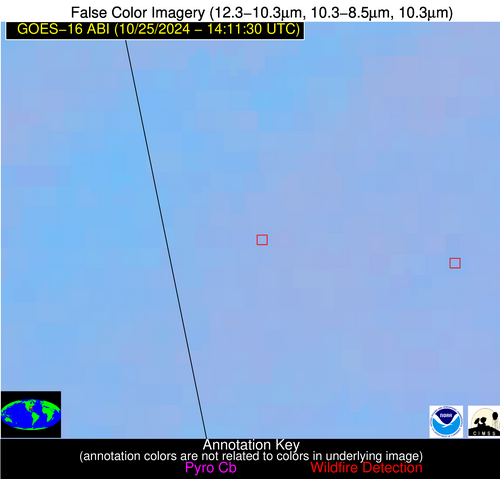
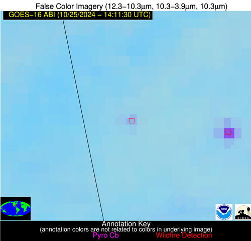
Wildfire Alert Report
| Date: | 2024-10-25 |
|---|---|
| Time: | 14:11:16 |
| Production Date and Time: | 2024-10-25 14:15:49 UTC |
| Primary Instrument: | GOES-16 ABI |
| Wmo Spacecraft Id: | 152 |
| Location/orbit: | GEO |
| L1 File: | OR_ABI-L1b-RadC-M6C14_G16_s20242991411164_e20242991413537_c20242991414039.nc |
| L1 File(s) - Temporal | OR_ABI-L1b-RadC-M6C14_G16_s20242991406164_e20242991408537_c20242991409025.nc |
| Number Of Thermal Anomaly Alerts: | 3 |
Possible Wildfire
| Basic Information | |
|---|---|
| State/Province(s) | TN |
| Country/Countries | USA |
| County/Locality(s) | Fentress County, TN |
| NWS WFO | Nashville TN |
| Identification Method | Enhanced Contextual (Clear) |
| Mean Object Date/Time | 2024-10-25 14:11:50UTC |
| Radiative Center (Lat, Lon): | 36.320000°, -84.870000° |
| Nearby Counties (meeting alert criteria): |
|
| Total Radiative Power Anomaly | n/a |
| Total Radiative Power | 23.36 MW |
| Map: | |
| Additional Information | |
| Alert Status | New Feature |
| Type of Event | Nominal Risk |
| Event Priority Ranking | 4 |
| Maximum Observed BT (3.9 um) | 298.31 K |
| Observed - Background BT (3.9 um) | 8.20 K |
| BT Anomaly (3.9 um) | 5.97 K |
| Maximum Observed - Clear RTM BT (3.9 um) | 12.16 K |
| Maximum Observed BTD (3.9-10/11/12 um) | 13.74 K |
| Observed - Background BTD (3.9-10/11/12 um) | 7.86 K |
| BTD Anomaly (3.9-10/11/12 um) | 3.76 K |
| Similar Pixel Count | 7 |
| BT Time Tendency (3.9 um) | 2.10 K |
| Image Interval | 5.00 minutes |
| Fraction of Surrounding LWIR Pixels that are Colder | 0.68 |
| Fraction of Surrounding Red Channel Pixels that are Brighter | 1.00 |
| Maximum Radiative Power | 23.36 MW |
| Maximum Radiative Power Uncertainty | 0.00 MW |
| Total Radiative Power Uncertainty | 0.00 MW |
| Mean Viewing Angle | 43.60° |
| Mean Solar Zenith Angle | 66.40° |
| Mean Glint Angle | 102.60° |
| Water Fraction | 0.00 |
| Total Pixel Area | 6.10 km2 |
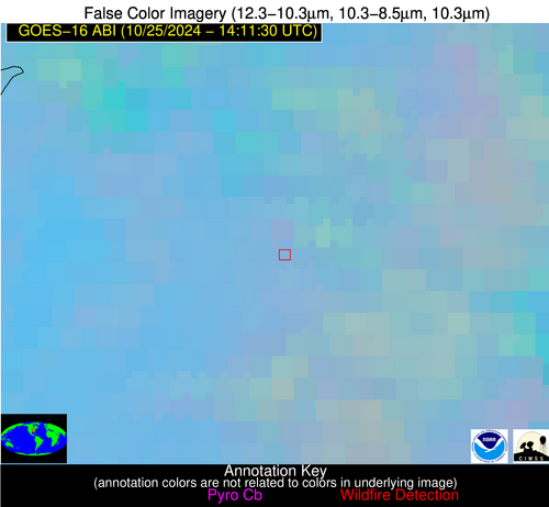
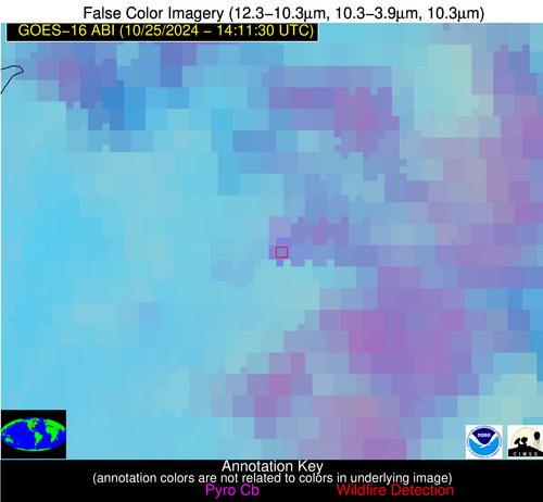
| Latest Satellite Imagery: | |
| View all event imagery » | |
Possible Wildfire
| Basic Information | |
|---|---|
| State/Province(s) | MS |
| Country/Countries | USA |
| County/Locality(s) | Montgomery County, MS |
| NWS WFO | Jackson MS |
| Identification Method | Enhanced Contextual (Clear) |
| Mean Object Date/Time | 2024-10-25 14:12:20UTC |
| Radiative Center (Lat, Lon): | 33.470000°, -89.710000° |
| Nearby Counties (meeting alert criteria): |
|
| Total Radiative Power Anomaly | n/a |
| Total Radiative Power | 5.33 MW |
| Map: | |
| Additional Information | |
| Alert Status | New Feature |
| Type of Event | Nominal Risk |
| Event Priority Ranking | 4 |
| Maximum Observed BT (3.9 um) | 293.85 K |
| Observed - Background BT (3.9 um) | 2.73 K |
| BT Anomaly (3.9 um) | 4.74 K |
| Maximum Observed - Clear RTM BT (3.9 um) | 3.15 K |
| Maximum Observed BTD (3.9-10/11/12 um) | 4.52 K |
| Observed - Background BTD (3.9-10/11/12 um) | 2.46 K |
| BTD Anomaly (3.9-10/11/12 um) | 8.64 K |
| Similar Pixel Count | 2 |
| BT Time Tendency (3.9 um) | 1.50 K |
| Image Interval | 5.00 minutes |
| Fraction of Surrounding LWIR Pixels that are Colder | 0.69 |
| Fraction of Surrounding Red Channel Pixels that are Brighter | 1.00 |
| Maximum Radiative Power | 5.33 MW |
| Maximum Radiative Power Uncertainty | 0.00 MW |
| Total Radiative Power Uncertainty | 0.00 MW |
| Mean Viewing Angle | 42.10° |
| Mean Solar Zenith Angle | 68.00° |
| Mean Glint Angle | 104.40° |
| Water Fraction | 0.00 |
| Total Pixel Area | 6.00 km2 |
| Latest Satellite Imagery: | |
| View all event imagery » | |
Possible Wildfire
| Basic Information | |
|---|---|
| State/Province(s) | GA |
| Country/Countries | USA |
| County/Locality(s) | Heard County, GA |
| NWS WFO | Peachtree City GA |
| Identification Method | Enhanced Contextual (Clear) |
| Mean Object Date/Time | 2024-10-25 14:12:20UTC |
| Radiative Center (Lat, Lon): | 33.250000°, -85.140000° |
| Nearby Counties (meeting alert criteria): |
|
| Total Radiative Power Anomaly | n/a |
| Total Radiative Power | 8.11 MW |
| Map: | |
| Additional Information | |
| Alert Status | New Feature |
| Type of Event | Nominal Risk |
| Event Priority Ranking | 4 |
| Maximum Observed BT (3.9 um) | 293.80 K |
| Observed - Background BT (3.9 um) | 3.31 K |
| BT Anomaly (3.9 um) | 2.82 K |
| Maximum Observed - Clear RTM BT (3.9 um) | 5.08 K |
| Maximum Observed BTD (3.9-10/11/12 um) | 6.23 K |
| Observed - Background BTD (3.9-10/11/12 um) | 3.57 K |
| BTD Anomaly (3.9-10/11/12 um) | 6.74 K |
| Similar Pixel Count | 1 |
| BT Time Tendency (3.9 um) | 0.50 K |
| Image Interval | 5.00 minutes |
| Fraction of Surrounding LWIR Pixels that are Colder | 0.41 |
| Fraction of Surrounding Red Channel Pixels that are Brighter | 1.00 |
| Maximum Radiative Power | 8.11 MW |
| Maximum Radiative Power Uncertainty | 0.00 MW |
| Total Radiative Power Uncertainty | 0.00 MW |
| Mean Viewing Angle | 40.30° |
| Mean Solar Zenith Angle | 64.70° |
| Mean Glint Angle | 98.40° |
| Water Fraction | 0.00 |
| Total Pixel Area | 5.70 km2 |
| Latest Satellite Imagery: | |
| View all event imagery » | |
