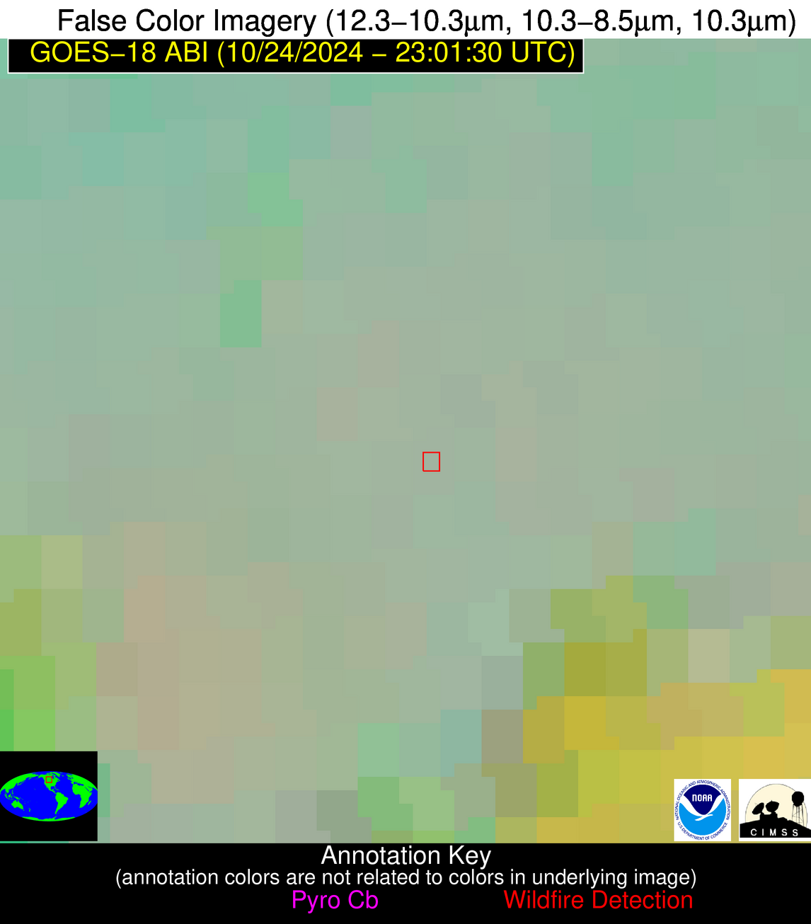
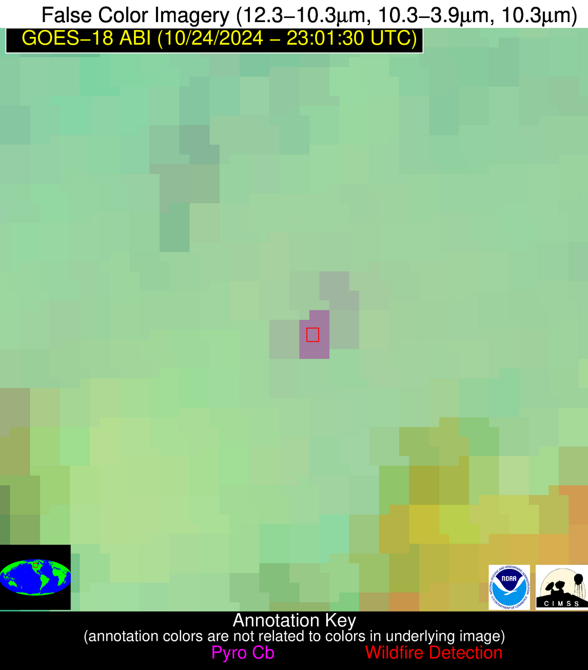
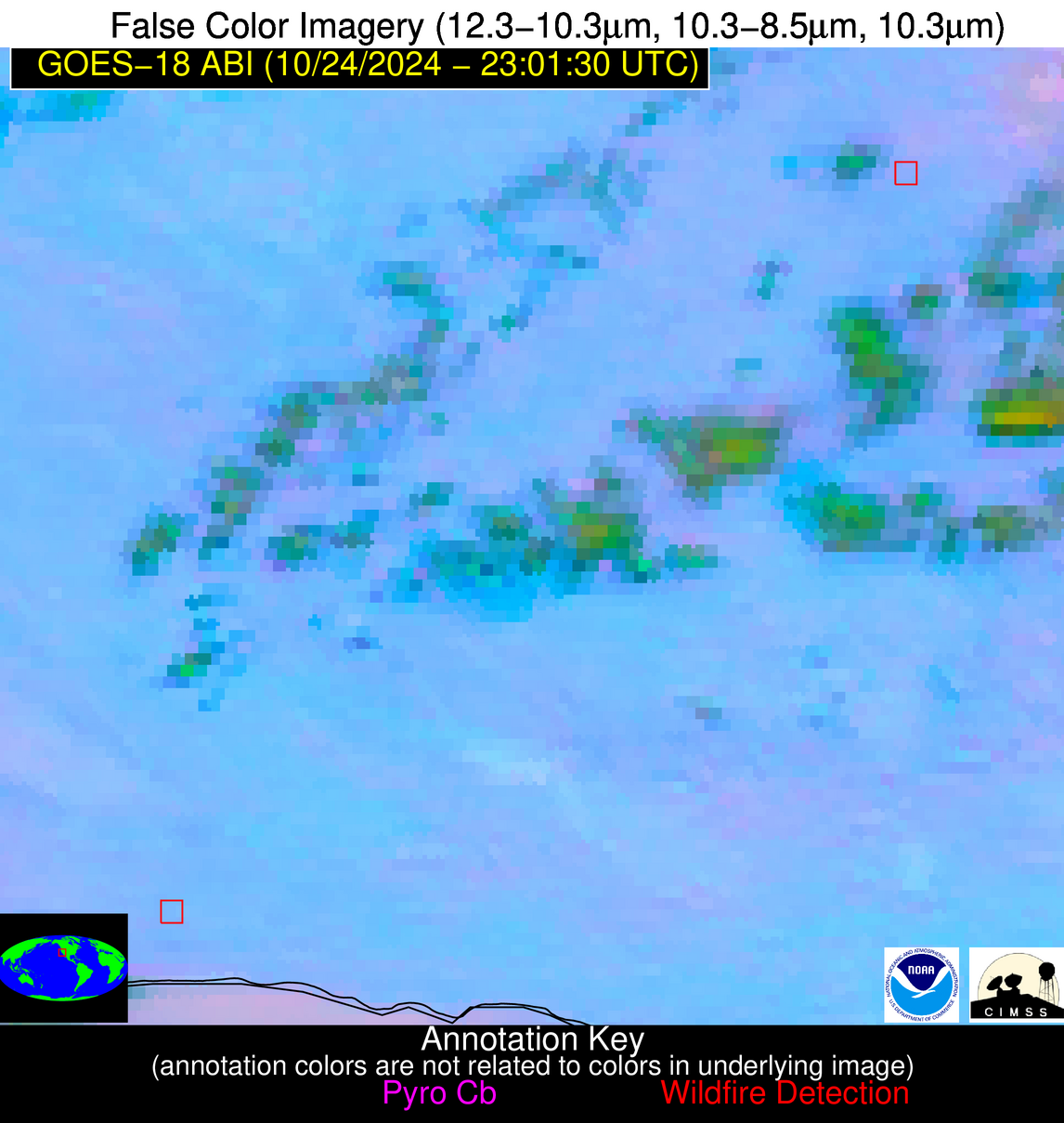
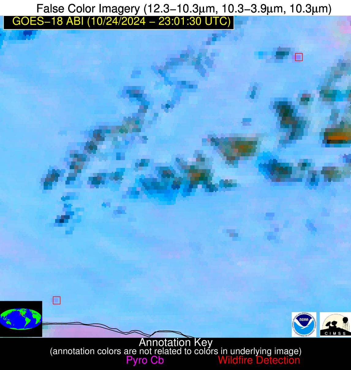
Please consider accessing NGFS detections and satellite imagery through the NOAA/NESDIS Wildland Fire Data Portal: https://fire.data.nesdis.noaa.gov/map/
Wildfire Alert Report
| Date: | 2024-10-24 |
|---|---|
| Time: | 23:01:18 |
| Production Date and Time: | 2024-10-24 23:05:51 UTC |
| Primary Instrument: | GOES-18 ABI |
| Wmo Spacecraft Id: | 665 |
| Location/orbit: | GEO |
| L1 File: | OR_ABI-L1b-RadC-M6C14_G18_s20242982301186_e20242982303559_c20242982304040.nc |
| L1 File(s) - Temporal | OR_ABI-L1b-RadC-M6C14_G18_s20242982256186_e20242982258559_c20242982259031.nc |
| Number Of Thermal Anomaly Alerts: | 4 |
Possible Wildfire
| Basic Information | |
|---|---|
| State/Province(s) | Saskatchewan |
| Country/Countries | Canada |
| County/Locality(s) | Division No. 6, Saskatchewan |
| NWS WFO | N/A |
| Identification Method | Enhanced Contextual (Clear) |
| Mean Object Date/Time | 2024-10-24 23:01:25UTC |
| Radiative Center (Lat, Lon): | 51.050000°, -103.950000° |
| Nearby Counties (meeting alert criteria): |
|
| Total Radiative Power Anomaly | n/a |
| Total Radiative Power | 37.67 MW |
| Map: | |
| Additional Information | |
| Alert Status | New Feature |
| Type of Event | Nominal Risk |
| Event Priority Ranking | 4 |
| Maximum Observed BT (3.9 um) | 287.60 K |
| Observed - Background BT (3.9 um) | 12.78 K |
| BT Anomaly (3.9 um) | 8.87 K |
| Maximum Observed - Clear RTM BT (3.9 um) | 14.65 K |
| Maximum Observed BTD (3.9-10/11/12 um) | 14.20 K |
| Observed - Background BTD (3.9-10/11/12 um) | 12.11 K |
| BTD Anomaly (3.9-10/11/12 um) | 12.26 K |
| Similar Pixel Count | 1 |
| BT Time Tendency (3.9 um) | 2.60 K |
| Image Interval | 5.00 minutes |
| Fraction of Surrounding LWIR Pixels that are Colder | 0.85 |
| Fraction of Surrounding Red Channel Pixels that are Brighter | 0.77 |
| Maximum Radiative Power | 37.67 MW |
| Maximum Radiative Power Uncertainty | 0.00 MW |
| Total Radiative Power Uncertainty | 0.00 MW |
| Mean Viewing Angle | 66.60° |
| Mean Solar Zenith Angle | 84.50° |
| Mean Glint Angle | 143.20° |
| Water Fraction | 0.00 |
| Total Pixel Area | 14.90 km2 |
| Latest Satellite Imagery: | |
| View all event imagery » | |
Possible Wildfire
| Basic Information | |
|---|---|
| State/Province(s) | ND |
| Country/Countries | USA |
| County/Locality(s) | Cavalier County, ND |
| NWS WFO | Grand Forks ND |
| Identification Method | Enhanced Contextual (Clear) |
| Mean Object Date/Time | 2024-10-24 23:01:25UTC |
| Radiative Center (Lat, Lon): | 48.570000°, -98.120000° |
| Nearby Counties (meeting alert criteria): |
|
| Total Radiative Power Anomaly | n/a |
| Total Radiative Power | 9.10 MW |
| Map: | |
| Additional Information | |
| Alert Status | New Feature |
| Type of Event | Nominal Risk |
| Event Priority Ranking | 4 |
| Maximum Observed BT (3.9 um) | 278.11 K |
| Observed - Background BT (3.9 um) | 3.18 K |
| BT Anomaly (3.9 um) | 6.69 K |
| Maximum Observed - Clear RTM BT (3.9 um) | 3.38 K |
| Maximum Observed BTD (3.9-10/11/12 um) | 3.87 K |
| Observed - Background BTD (3.9-10/11/12 um) | 3.43 K |
| BTD Anomaly (3.9-10/11/12 um) | 16.56 K |
| Similar Pixel Count | 1 |
| BT Time Tendency (3.9 um) | -0.10 K |
| Image Interval | 5.00 minutes |
| Fraction of Surrounding LWIR Pixels that are Colder | 0.25 |
| Fraction of Surrounding Red Channel Pixels that are Brighter | 1.00 |
| Maximum Radiative Power | 9.10 MW |
| Maximum Radiative Power Uncertainty | 0.00 MW |
| Total Radiative Power Uncertainty | 0.00 MW |
| Mean Viewing Angle | 67.50° |
| Mean Solar Zenith Angle | 87.00° |
| Mean Glint Angle | 147.20° |
| Water Fraction | 0.00 |
| Total Pixel Area | 16.70 km2 |
| Latest Satellite Imagery: | |
| View all event imagery » | |
Possible Wildfire
| Basic Information | |
|---|---|
| State/Province(s) | CA |
| Country/Countries | USA |
| County/Locality(s) | Tulare County, CA |
| NWS WFO | Hanford CA |
| Identification Method | Enhanced Contextual (Clear) |
| Mean Object Date/Time | 2024-10-24 23:02:24UTC |
| Radiative Center (Lat, Lon): | 36.210000°, -118.860000° |
| Nearby Counties (meeting alert criteria): |
|
| Total Radiative Power Anomaly | n/a |
| Total Radiative Power | 58.71 MW |
| Map: | |
| Additional Information | |
| Alert Status | New Feature |
| Type of Event | Nominal Risk |
| Event Priority Ranking | 4 |
| Maximum Observed BT (3.9 um) | 306.81 K |
| Observed - Background BT (3.9 um) | 8.28 K |
| BT Anomaly (3.9 um) | 4.56 K |
| Maximum Observed - Clear RTM BT (3.9 um) | 13.93 K |
| Maximum Observed BTD (3.9-10/11/12 um) | 13.58 K |
| Observed - Background BTD (3.9-10/11/12 um) | 8.90 K |
| BTD Anomaly (3.9-10/11/12 um) | 9.23 K |
| Similar Pixel Count | 3 |
| BT Time Tendency (3.9 um) | 1.10 K |
| Image Interval | 5.00 minutes |
| Fraction of Surrounding LWIR Pixels that are Colder | 0.33 |
| Fraction of Surrounding Red Channel Pixels that are Brighter | 0.80 |
| Maximum Radiative Power | 29.66 MW |
| Maximum Radiative Power Uncertainty | 0.00 MW |
| Total Radiative Power Uncertainty | 0.00 MW |
| Mean Viewing Angle | 46.40° |
| Mean Solar Zenith Angle | 67.70° |
| Mean Glint Angle | 110.00° |
| Water Fraction | 0.00 |
| Total Pixel Area | 13.20 km2 |
| Latest Satellite Imagery: | |
| View all event imagery » | |
Possible Wildfire
| Basic Information | |
|---|---|
| State/Province(s) | CA |
| Country/Countries | USA |
| County/Locality(s) | Santa Barbara County, CA |
| NWS WFO | Los Angeles/Oxnard CA |
| Identification Method | Enhanced Contextual (Clear) |
| Mean Object Date/Time | 2024-10-24 23:02:24UTC |
| Radiative Center (Lat, Lon): | 34.620000°, -120.250000° |
| Nearby Counties (meeting alert criteria): |
|
| Total Radiative Power Anomaly | n/a |
| Total Radiative Power | 21.95 MW |
| Map: | |
| Additional Information | |
| Alert Status | New Feature |
| Type of Event | Nominal Risk |
| Event Priority Ranking | 4 |
| Maximum Observed BT (3.9 um) | 309.02 K |
| Observed - Background BT (3.9 um) | 5.78 K |
| BT Anomaly (3.9 um) | 3.92 K |
| Maximum Observed - Clear RTM BT (3.9 um) | 12.71 K |
| Maximum Observed BTD (3.9-10/11/12 um) | 10.07 K |
| Observed - Background BTD (3.9-10/11/12 um) | 5.74 K |
| BTD Anomaly (3.9-10/11/12 um) | 14.43 K |
| Similar Pixel Count | 2 |
| BT Time Tendency (3.9 um) | 5.20 K |
| Image Interval | 5.00 minutes |
| Fraction of Surrounding LWIR Pixels that are Colder | 0.58 |
| Fraction of Surrounding Red Channel Pixels that are Brighter | 0.76 |
| Maximum Radiative Power | 21.95 MW |
| Maximum Radiative Power Uncertainty | 0.00 MW |
| Total Radiative Power Uncertainty | 0.00 MW |
| Mean Viewing Angle | 44.20° |
| Mean Solar Zenith Angle | 65.80° |
| Mean Glint Angle | 106.10° |
| Water Fraction | 0.00 |
| Total Pixel Area | 6.30 km2 |
| Latest Satellite Imagery: | |
| View all event imagery » | |
