Jan 2026: Due to an ongoing data center cooling system construction project, NGFS data outages may occur with little or no notice. Bitterly cold air in Madison Jan 22-24 increases risk of outages.
Wildfire Alert Report
| Date: | 2024-10-22 |
|---|---|
| Time: | 19:36:17 |
| Production Date and Time: | 2024-10-22 19:41:07 UTC |
| Primary Instrument: | GOES-16 ABI |
| Wmo Spacecraft Id: | 152 |
| Location/orbit: | GEO |
| L1 File: | OR_ABI-L1b-RadC-M6C14_G16_s20242961936174_e20242961938547_c20242961939016.nc |
| L1 File(s) - Temporal | OR_ABI-L1b-RadC-M6C14_G16_s20242961931174_e20242961933547_c20242961934030.nc |
| Number Of Thermal Anomaly Alerts: | 5 |
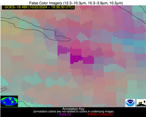
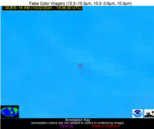
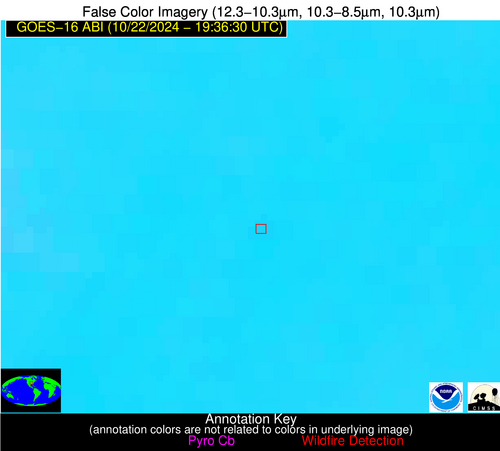
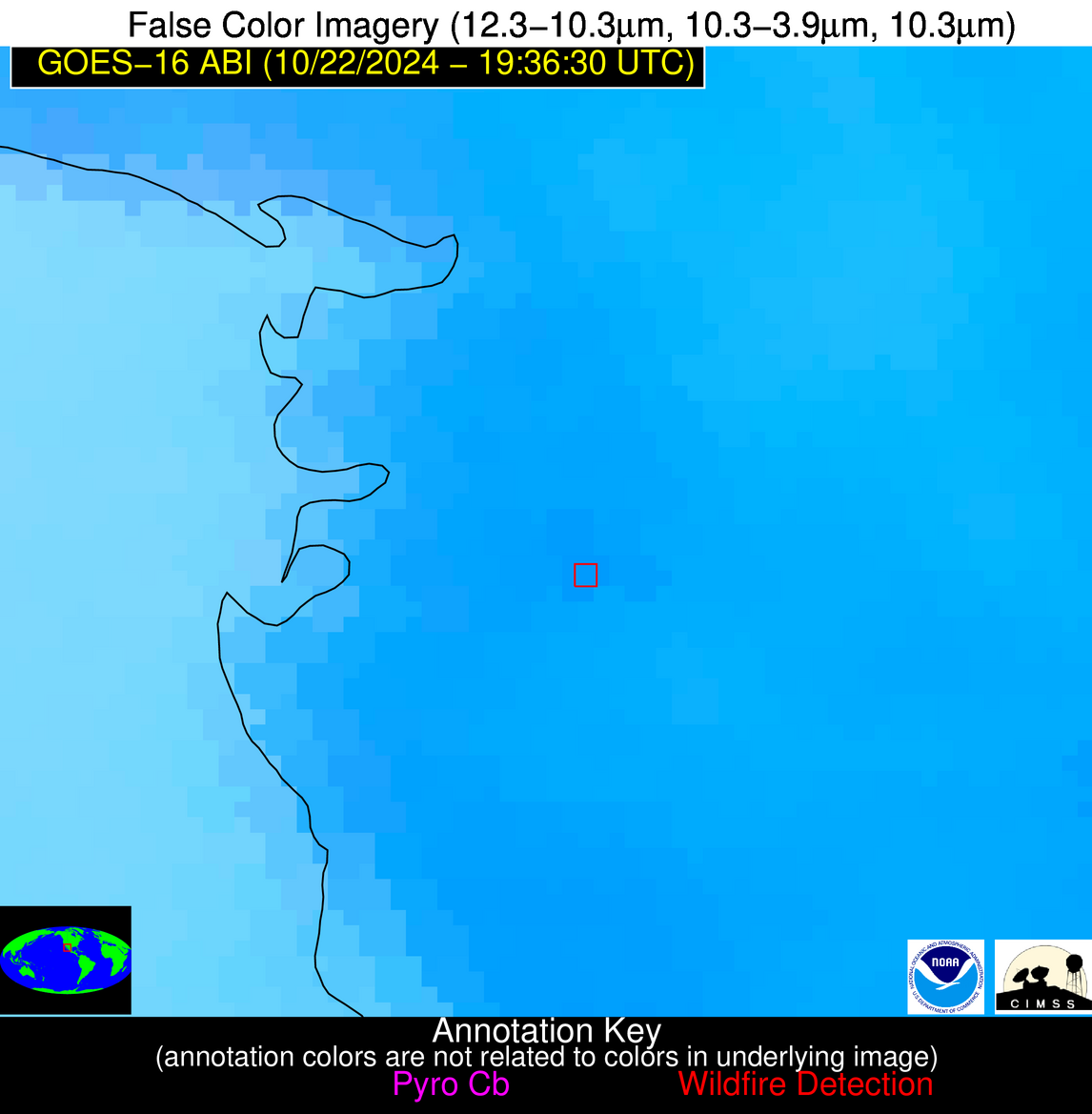
Possible Wildfire
| Basic Information | |
|---|---|
| State/Province(s) | British Columbia |
| Country/Countries | Canada |
| County/Locality(s) | Cowichan Valley, British Columbia |
| NWS WFO | N/A |
| Identification Method | Enhanced Contextual (Cloud) |
| Mean Object Date/Time | 2024-10-22 19:36:18UTC |
| Radiative Center (Lat, Lon): | 48.710000°, -124.030000° |
| Nearby Counties (meeting alert criteria): |
|
| Total Radiative Power Anomaly | n/a |
| Total Radiative Power | 142.92 MW |
| Map: | |
| Additional Information | |
| Alert Status | New Feature |
| Type of Event | Nominal Risk |
| Event Priority Ranking | 4 |
| Maximum Observed BT (3.9 um) | 302.90 K |
| Observed - Background BT (3.9 um) | 20.52 K |
| BT Anomaly (3.9 um) | 8.04 K |
| Maximum Observed - Clear RTM BT (3.9 um) | 28.76 K |
| Maximum Observed BTD (3.9-10/11/12 um) | 30.52 K |
| Observed - Background BTD (3.9-10/11/12 um) | 20.07 K |
| BTD Anomaly (3.9-10/11/12 um) | 8.32 K |
| Similar Pixel Count | 0 |
| BT Time Tendency (3.9 um) | 11.20 K |
| Image Interval | 5.00 minutes |
| Fraction of Surrounding LWIR Pixels that are Colder | 0.67 |
| Fraction of Surrounding Red Channel Pixels that are Brighter | 0.80 |
| Maximum Radiative Power | 142.92 MW |
| Maximum Radiative Power Uncertainty | 0.00 MW |
| Total Radiative Power Uncertainty | 0.00 MW |
| Mean Viewing Angle | 73.20° |
| Mean Solar Zenith Angle | 60.20° |
| Mean Glint Angle | 113.00° |
| Water Fraction | 0.00 |
| Total Pixel Area | 28.50 km2 |
| Latest Satellite Imagery: | |
| View all event imagery » | |
Possible Wildfire
| Basic Information | |
|---|---|
| State/Province(s) | IA |
| Country/Countries | USA |
| County/Locality(s) | Butler County, IA |
| NWS WFO | Des Moines IA |
| Identification Method | Enhanced Contextual (Clear) |
| Mean Object Date/Time | 2024-10-22 19:36:51UTC |
| Radiative Center (Lat, Lon): | 42.700000°, -92.950000° |
| Nearby Counties (meeting alert criteria): |
|
| Total Radiative Power Anomaly | n/a |
| Total Radiative Power | 8.30 MW |
| Map: | |
| Additional Information | |
| Alert Status | New Feature |
| Type of Event | Nominal Risk |
| Event Priority Ranking | 4 |
| Maximum Observed BT (3.9 um) | 302.00 K |
| Observed - Background BT (3.9 um) | 1.61 K |
| BT Anomaly (3.9 um) | 1.75 K |
| Maximum Observed - Clear RTM BT (3.9 um) | 9.75 K |
| Maximum Observed BTD (3.9-10/11/12 um) | 12.38 K |
| Observed - Background BTD (3.9-10/11/12 um) | 1.83 K |
| BTD Anomaly (3.9-10/11/12 um) | 3.69 K |
| Similar Pixel Count | 25 |
| BT Time Tendency (3.9 um) | 2.10 K |
| Image Interval | 5.00 minutes |
| Fraction of Surrounding LWIR Pixels that are Colder | 0.25 |
| Fraction of Surrounding Red Channel Pixels that are Brighter | 0.99 |
| Maximum Radiative Power | 8.30 MW |
| Maximum Radiative Power Uncertainty | 0.00 MW |
| Total Radiative Power Uncertainty | 0.00 MW |
| Mean Viewing Angle | 52.70° |
| Mean Solar Zenith Angle | 58.60° |
| Mean Glint Angle | 94.60° |
| Water Fraction | 0.00 |
| Total Pixel Area | 7.80 km2 |
| Latest Satellite Imagery: | |
| View all event imagery » | |
Possible Wildfire
| Basic Information | |
|---|---|
| State/Province(s) | MO |
| Country/Countries | USA |
| County/Locality(s) | Miller County, MO |
| NWS WFO | Springfield MO |
| Identification Method | Enhanced Contextual (Cloud) |
| Mean Object Date/Time | 2024-10-22 19:36:51UTC |
| Radiative Center (Lat, Lon): | 38.120000°, -92.320000° |
| Nearby Counties (meeting alert criteria): |
|
| Total Radiative Power Anomaly | n/a |
| Total Radiative Power | 52.45 MW |
| Map: | |
| Additional Information | |
| Alert Status | New Feature |
| Type of Event | Nominal Risk |
| Event Priority Ranking | 4 |
| Maximum Observed BT (3.9 um) | 315.88 K |
| Observed - Background BT (3.9 um) | 12.40 K |
| BT Anomaly (3.9 um) | 20.34 K |
| Maximum Observed - Clear RTM BT (3.9 um) | 19.36 K |
| Maximum Observed BTD (3.9-10/11/12 um) | 19.68 K |
| Observed - Background BTD (3.9-10/11/12 um) | 11.84 K |
| BTD Anomaly (3.9-10/11/12 um) | 31.55 K |
| Similar Pixel Count | 0 |
| BT Time Tendency (3.9 um) | 8.40 K |
| Image Interval | 5.00 minutes |
| Fraction of Surrounding LWIR Pixels that are Colder | 0.96 |
| Fraction of Surrounding Red Channel Pixels that are Brighter | 1.00 |
| Maximum Radiative Power | 52.45 MW |
| Maximum Radiative Power Uncertainty | 0.00 MW |
| Total Radiative Power Uncertainty | 0.00 MW |
| Mean Viewing Angle | 47.90° |
| Mean Solar Zenith Angle | 54.90° |
| Mean Glint Angle | 86.40° |
| Water Fraction | 0.00 |
| Total Pixel Area | 6.80 km2 |
| Latest Satellite Imagery: | |
| View all event imagery » | |
Possible Wildfire
| Basic Information | |
|---|---|
| State/Province(s) | AR |
| Country/Countries | USA |
| County/Locality(s) | Cross County, AR |
| NWS WFO | Memphis TN |
| Identification Method | Enhanced Contextual (Clear) |
| Mean Object Date/Time | 2024-10-22 19:37:21UTC |
| Radiative Center (Lat, Lon): | 35.350000°, -90.600000° |
| Nearby Counties (meeting alert criteria): |
|
| Total Radiative Power Anomaly | n/a |
| Total Radiative Power | 15.14 MW |
| Map: | |
| Additional Information | |
| Alert Status | New Feature |
| Type of Event | Nominal Risk |
| Event Priority Ranking | 4 |
| Maximum Observed BT (3.9 um) | 310.33 K |
| Observed - Background BT (3.9 um) | 3.73 K |
| BT Anomaly (3.9 um) | 1.45 K |
| Maximum Observed - Clear RTM BT (3.9 um) | 14.16 K |
| Maximum Observed BTD (3.9-10/11/12 um) | 11.58 K |
| Observed - Background BTD (3.9-10/11/12 um) | 3.48 K |
| BTD Anomaly (3.9-10/11/12 um) | 1.44 K |
| Similar Pixel Count | 4 |
| BT Time Tendency (3.9 um) | 3.80 K |
| Image Interval | 5.00 minutes |
| Fraction of Surrounding LWIR Pixels that are Colder | 0.63 |
| Fraction of Surrounding Red Channel Pixels that are Brighter | 0.82 |
| Maximum Radiative Power | 15.14 MW |
| Maximum Radiative Power Uncertainty | 0.00 MW |
| Total Radiative Power Uncertainty | 0.00 MW |
| Mean Viewing Angle | 44.40° |
| Mean Solar Zenith Angle | 53.30° |
| Mean Glint Angle | 81.70° |
| Water Fraction | 0.00 |
| Total Pixel Area | 6.30 km2 |
| Latest Satellite Imagery: | |
| View all event imagery » | |
Possible Wildfire
| Basic Information | |
|---|---|
| State/Province(s) | Sonora |
| Country/Countries | Mexico |
| County/Locality(s) | Guaymas, Sonora |
| NWS WFO | N/A |
| Identification Method | Enhanced Contextual (Clear) |
| Mean Object Date/Time | 2024-10-22 19:37:48UTC |
| Radiative Center (Lat, Lon): | 27.680000°, -110.440000° |
| Nearby Counties (meeting alert criteria): |
|
| Total Radiative Power Anomaly | n/a |
| Total Radiative Power | 27.20 MW |
| Map: | |
| Additional Information | |
| Alert Status | New Feature |
| Type of Event | Nominal Risk |
| Event Priority Ranking | 4 |
| Maximum Observed BT (3.9 um) | 321.57 K |
| Observed - Background BT (3.9 um) | 2.41 K |
| BT Anomaly (3.9 um) | 1.50 K |
| Maximum Observed - Clear RTM BT (3.9 um) | 13.60 K |
| Maximum Observed BTD (3.9-10/11/12 um) | 14.02 K |
| Observed - Background BTD (3.9-10/11/12 um) | 2.35 K |
| BTD Anomaly (3.9-10/11/12 um) | 2.78 K |
| Similar Pixel Count | 25 |
| BT Time Tendency (3.9 um) | 0.80 K |
| Image Interval | 5.00 minutes |
| Fraction of Surrounding LWIR Pixels that are Colder | 0.66 |
| Fraction of Surrounding Red Channel Pixels that are Brighter | 0.82 |
| Maximum Radiative Power | 13.60 MW |
| Maximum Radiative Power Uncertainty | 0.00 MW |
| Total Radiative Power Uncertainty | 0.00 MW |
| Mean Viewing Angle | 50.60° |
| Mean Solar Zenith Angle | 39.60° |
| Mean Glint Angle | 72.10° |
| Water Fraction | 0.00 |
| Total Pixel Area | 15.60 km2 |
| Latest Satellite Imagery: | |
| View all event imagery » | |


