Wildfire Alert Report
| Date: | 2024-10-21 |
|---|---|
| Time: | 20:06:18 |
| Production Date and Time: | 2024-10-21 20:10:54 UTC |
| Primary Instrument: | GOES-18 ABI |
| Wmo Spacecraft Id: | 665 |
| Location/orbit: | GEO |
| L1 File: | OR_ABI-L1b-RadC-M6C14_G18_s20242952006181_e20242952008554_c20242952009050.nc |
| L1 File(s) - Temporal | OR_ABI-L1b-RadC-M6C14_G18_s20242952001181_e20242952003554_c20242952004048.nc |
| Number Of Thermal Anomaly Alerts: | 3 |
Possible Wildfire
| Basic Information | |
|---|---|
| State/Province(s) | ND |
| Country/Countries | USA |
| County/Locality(s) | Williams County, ND |
| NWS WFO | Bismarck ND |
| Identification Method | Enhanced Contextual (Clear) |
| Mean Object Date/Time | 2024-10-21 20:06:25UTC |
| Radiative Center (Lat, Lon): | 48.250000°, -103.700000° |
| Nearby Counties (meeting alert criteria): |
|
| Total Radiative Power Anomaly | n/a |
| Total Radiative Power | 9.56 MW |
| Map: | |
| Additional Information | |
| Alert Status | New Feature |
| Type of Event | Oil/gas |
| Event Priority Ranking | 5 |
| Maximum Observed BT (3.9 um) | 304.36 K |
| Observed - Background BT (3.9 um) | 1.64 K |
| BT Anomaly (3.9 um) | 1.38 K |
| Maximum Observed - Clear RTM BT (3.9 um) | 13.68 K |
| Maximum Observed BTD (3.9-10/11/12 um) | 13.33 K |
| Observed - Background BTD (3.9-10/11/12 um) | 1.51 K |
| BTD Anomaly (3.9-10/11/12 um) | 2.49 K |
| Similar Pixel Count | 25 |
| BT Time Tendency (3.9 um) | 1.30 K |
| Image Interval | 5.00 minutes |
| Fraction of Surrounding LWIR Pixels that are Colder | 0.58 |
| Fraction of Surrounding Red Channel Pixels that are Brighter | 0.84 |
| Maximum Radiative Power | 9.56 MW |
| Maximum Radiative Power Uncertainty | 0.00 MW |
| Total Radiative Power Uncertainty | 0.00 MW |
| Mean Viewing Angle | 64.40° |
| Mean Solar Zenith Angle | 62.20° |
| Mean Glint Angle | 124.20° |
| Water Fraction | 0.00 |
| Total Pixel Area | 13.40 km2 |
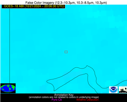
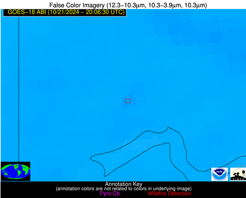
| Latest Satellite Imagery: | |
| View all event imagery » | |
Possible Wildfire
| Basic Information | |
|---|---|
| State/Province(s) | CA |
| Country/Countries | USA |
| County/Locality(s) | Butte County, CA |
| NWS WFO | Sacramento CA |
| Identification Method | Enhanced Contextual (Clear) |
| Mean Object Date/Time | 2024-10-21 20:06:54UTC |
| Radiative Center (Lat, Lon): | 39.440000°, -121.800000° |
| Nearby Counties (meeting alert criteria): |
|
| Total Radiative Power Anomaly | n/a |
| Total Radiative Power | 26.10 MW |
| Map: | |
| Additional Information | |
| Alert Status | New Feature |
| Type of Event | Nominal Risk |
| Event Priority Ranking | 4 |
| Maximum Observed BT (3.9 um) | 311.85 K |
| Observed - Background BT (3.9 um) | 6.85 K |
| BT Anomaly (3.9 um) | 3.35 K |
| Maximum Observed - Clear RTM BT (3.9 um) | 15.82 K |
| Maximum Observed BTD (3.9-10/11/12 um) | 18.49 K |
| Observed - Background BTD (3.9-10/11/12 um) | 6.74 K |
| BTD Anomaly (3.9-10/11/12 um) | 3.46 K |
| Similar Pixel Count | 10 |
| BT Time Tendency (3.9 um) | 5.40 K |
| Image Interval | 5.00 minutes |
| Fraction of Surrounding LWIR Pixels that are Colder | 0.68 |
| Fraction of Surrounding Red Channel Pixels that are Brighter | 0.55 |
| Maximum Radiative Power | 26.10 MW |
| Maximum Radiative Power Uncertainty | 0.00 MW |
| Total Radiative Power Uncertainty | 0.00 MW |
| Mean Viewing Angle | 48.50° |
| Mean Solar Zenith Angle | 50.40° |
| Mean Glint Angle | 97.30° |
| Water Fraction | 0.00 |
| Total Pixel Area | 6.90 km2 |
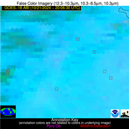
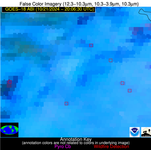
| Latest Satellite Imagery: | |
| View all event imagery » | |
Possible Wildfire
| Basic Information | |
|---|---|
| State/Province(s) | CA |
| Country/Countries | USA |
| County/Locality(s) | Colusa County, CA |
| NWS WFO | Sacramento CA |
| Identification Method | Enhanced Contextual (Clear) |
| Mean Object Date/Time | 2024-10-21 20:06:54UTC |
| Radiative Center (Lat, Lon): | 39.030000°, -121.930000° |
| Nearby Counties (meeting alert criteria): |
|
| Total Radiative Power Anomaly | n/a |
| Total Radiative Power | 16.52 MW |
| Map: | |
| Additional Information | |
| Alert Status | New Feature |
| Type of Event | Nominal Risk |
| Event Priority Ranking | 4 |
| Maximum Observed BT (3.9 um) | 311.90 K |
| Observed - Background BT (3.9 um) | 3.87 K |
| BT Anomaly (3.9 um) | 2.51 K |
| Maximum Observed - Clear RTM BT (3.9 um) | 15.59 K |
| Maximum Observed BTD (3.9-10/11/12 um) | 15.09 K |
| Observed - Background BTD (3.9-10/11/12 um) | 4.14 K |
| BTD Anomaly (3.9-10/11/12 um) | 3.39 K |
| Similar Pixel Count | 18 |
| BT Time Tendency (3.9 um) | 3.80 K |
| Image Interval | 5.00 minutes |
| Fraction of Surrounding LWIR Pixels that are Colder | 0.46 |
| Fraction of Surrounding Red Channel Pixels that are Brighter | 0.81 |
| Maximum Radiative Power | 16.52 MW |
| Maximum Radiative Power Uncertainty | 0.00 MW |
| Total Radiative Power Uncertainty | 0.00 MW |
| Mean Viewing Angle | 48.10° |
| Mean Solar Zenith Angle | 50.00° |
| Mean Glint Angle | 96.40° |
| Water Fraction | 0.00 |
| Total Pixel Area | 6.80 km2 |
| Latest Satellite Imagery: | |
| View all event imagery » | |


