Wildfire Alert Report
| Date: | 2024-10-21 |
|---|---|
| Time: | 17:56:18 |
| Production Date and Time: | 2024-10-21 18:00:57 UTC |
| Primary Instrument: | GOES-18 ABI |
| Wmo Spacecraft Id: | 665 |
| Location/orbit: | GEO |
| L1 File: | OR_ABI-L1b-RadC-M6C14_G18_s20242951756181_e20242951758554_c20242951759039.nc |
| L1 File(s) - Temporal | OR_ABI-L1b-RadC-M6C14_G18_s20242951751181_e20242951753554_c20242951754014.nc |
| Number Of Thermal Anomaly Alerts: | 3 |
Possible Wildfire
| Basic Information | |
|---|---|
| State/Province(s) | Manitoba |
| Country/Countries | Canada |
| County/Locality(s) | Division No. 6, Manitoba |
| NWS WFO | N/A |
| Identification Method | Enhanced Contextual (Cloud) |
| Mean Object Date/Time | 2024-10-21 17:56:25UTC |
| Radiative Center (Lat, Lon): | 49.630000°, -101.310000° |
| Nearby Counties (meeting alert criteria): |
|
| Total Radiative Power Anomaly | n/a |
| Total Radiative Power | 65.98 MW |
| Map: | |
| Additional Information | |
| Alert Status | New Feature |
| Type of Event | Oil/gas |
| Event Priority Ranking | 5 |
| Maximum Observed BT (3.9 um) | 305.75 K |
| Observed - Background BT (3.9 um) | 10.63 K |
| BT Anomaly (3.9 um) | 17.13 K |
| Maximum Observed - Clear RTM BT (3.9 um) | 13.92 K |
| Maximum Observed BTD (3.9-10/11/12 um) | 19.25 K |
| Observed - Background BTD (3.9-10/11/12 um) | 10.19 K |
| BTD Anomaly (3.9-10/11/12 um) | 25.45 K |
| Similar Pixel Count | 0 |
| BT Time Tendency (3.9 um) | 10.60 K |
| Image Interval | 5.00 minutes |
| Fraction of Surrounding LWIR Pixels that are Colder | 0.71 |
| Fraction of Surrounding Red Channel Pixels that are Brighter | 1.00 |
| Maximum Radiative Power | 65.98 MW |
| Maximum Radiative Power Uncertainty | 0.00 MW |
| Total Radiative Power Uncertainty | 0.00 MW |
| Mean Viewing Angle | 66.70° |
| Mean Solar Zenith Angle | 61.00° |
| Mean Glint Angle | 107.20° |
| Water Fraction | 0.00 |
| Total Pixel Area | 15.40 km2 |
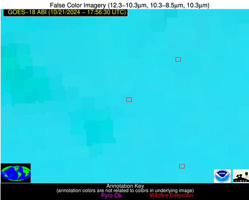
| Latest Satellite Imagery: | |
| View all event imagery » | |
Possible Wildfire
| Basic Information | |
|---|---|
| State/Province(s) | ID |
| Country/Countries | USA |
| County/Locality(s) | Cassia County, ID |
| NWS WFO | Pocatello ID |
| Identification Method | Enhanced Contextual (Clear) |
| Mean Object Date/Time | 2024-10-21 17:56:54UTC |
| Radiative Center (Lat, Lon): | 42.280000°, -113.590000° |
| Nearby Counties (meeting alert criteria): |
|
| Total Radiative Power Anomaly | n/a |
| Total Radiative Power | 10.81 MW |
| Map: | |
| Additional Information | |
| Alert Status | New Feature |
| Type of Event | Nominal Risk |
| Event Priority Ranking | 4 |
| Maximum Observed BT (3.9 um) | 302.68 K |
| Observed - Background BT (3.9 um) | 5.64 K |
| BT Anomaly (3.9 um) | 4.00 K |
| Maximum Observed - Clear RTM BT (3.9 um) | 12.03 K |
| Maximum Observed BTD (3.9-10/11/12 um) | 12.15 K |
| Observed - Background BTD (3.9-10/11/12 um) | 3.47 K |
| BTD Anomaly (3.9-10/11/12 um) | 4.26 K |
| Similar Pixel Count | 14 |
| BT Time Tendency (3.9 um) | 1.40 K |
| Image Interval | 5.00 minutes |
| Fraction of Surrounding LWIR Pixels that are Colder | 0.96 |
| Fraction of Surrounding Red Channel Pixels that are Brighter | 0.27 |
| Maximum Radiative Power | 10.81 MW |
| Maximum Radiative Power Uncertainty | 0.00 MW |
| Total Radiative Power Uncertainty | 0.00 MW |
| Mean Viewing Angle | 54.60° |
| Mean Solar Zenith Angle | 56.40° |
| Mean Glint Angle | 92.70° |
| Water Fraction | 0.00 |
| Total Pixel Area | 8.40 km2 |
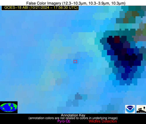
| Latest Satellite Imagery: | |
| View all event imagery » | |
Possible Wildfire
| Basic Information | |
|---|---|
| State/Province(s) | CA |
| Country/Countries | USA |
| County/Locality(s) | San Joaquin County, CA |
| NWS WFO | Sacramento CA |
| Identification Method | Enhanced Contextual (Clear) |
| Mean Object Date/Time | 2024-10-21 17:56:54UTC |
| Radiative Center (Lat, Lon): | 38.180000°, -121.190000° |
| Nearby Counties (meeting alert criteria): |
|
| Total Radiative Power Anomaly | n/a |
| Total Radiative Power | 7.75 MW |
| Map: | |
| Additional Information | |
| Alert Status | New Feature |
| Type of Event | Nominal Risk |
| Event Priority Ranking | 4 |
| Maximum Observed BT (3.9 um) | 302.98 K |
| Observed - Background BT (3.9 um) | 2.49 K |
| BT Anomaly (3.9 um) | 1.82 K |
| Maximum Observed - Clear RTM BT (3.9 um) | 4.77 K |
| Maximum Observed BTD (3.9-10/11/12 um) | 9.22 K |
| Observed - Background BTD (3.9-10/11/12 um) | 2.08 K |
| BTD Anomaly (3.9-10/11/12 um) | 3.67 K |
| Similar Pixel Count | 25 |
| BT Time Tendency (3.9 um) | 1.10 K |
| Image Interval | 5.00 minutes |
| Fraction of Surrounding LWIR Pixels that are Colder | 0.69 |
| Fraction of Surrounding Red Channel Pixels that are Brighter | 1.00 |
| Maximum Radiative Power | 7.75 MW |
| Maximum Radiative Power Uncertainty | 0.00 MW |
| Total Radiative Power Uncertainty | 0.00 MW |
| Mean Viewing Angle | 47.50° |
| Mean Solar Zenith Angle | 55.70° |
| Mean Glint Angle | 86.20° |
| Water Fraction | 0.00 |
| Total Pixel Area | 6.70 km2 |
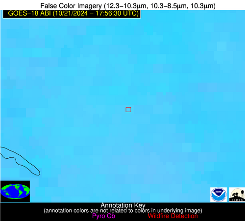
| Latest Satellite Imagery: | |
| View all event imagery » | |


