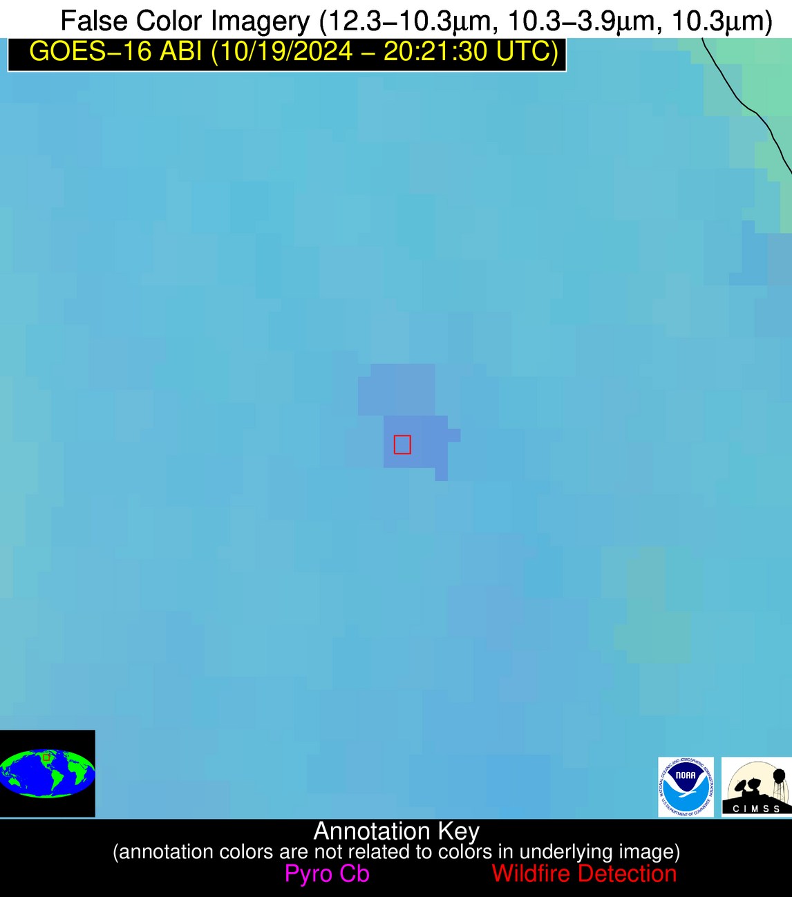
Wildfire Alert Report
| Date: | 2024-10-19 |
|---|---|
| Time: | 20:21:17 |
| Production Date and Time: | 2024-10-19 20:25:58 UTC |
| Primary Instrument: | GOES-16 ABI |
| Wmo Spacecraft Id: | 152 |
| Location/orbit: | GEO |
| L1 File: | OR_ABI-L1b-RadC-M6C14_G16_s20242932021172_e20242932023545_c20242932024029.nc |
| L1 File(s) - Temporal | OR_ABI-L1b-RadC-M6C14_G16_s20242932016172_e20242932018545_c20242932019042.nc |
| Number Of Thermal Anomaly Alerts: | 4 |
Possible Wildfire
| Basic Information | |
|---|---|
| State/Province(s) | Manitoba |
| Country/Countries | Canada |
| County/Locality(s) | Division No. 8, Manitoba |
| NWS WFO | N/A |
| Identification Method | Enhanced Contextual (Clear) |
| Mean Object Date/Time | 2024-10-19 20:21:20UTC |
| Radiative Center (Lat, Lon): | 50.570000°, -99.120000° |
| Nearby Counties (meeting alert criteria): |
|
| Total Radiative Power Anomaly | n/a |
| Total Radiative Power | 37.44 MW |
| Map: | |
| Additional Information | |
| Alert Status | New Feature |
| Type of Event | Nominal Risk |
| Event Priority Ranking | 4 |
| Maximum Observed BT (3.9 um) | 295.33 K |
| Observed - Background BT (3.9 um) | 5.18 K |
| BT Anomaly (3.9 um) | 5.84 K |
| Maximum Observed - Clear RTM BT (3.9 um) | 12.14 K |
| Maximum Observed BTD (3.9-10/11/12 um) | 11.52 K |
| Observed - Background BTD (3.9-10/11/12 um) | 4.80 K |
| BTD Anomaly (3.9-10/11/12 um) | 7.87 K |
| Similar Pixel Count | 6 |
| BT Time Tendency (3.9 um) | 4.20 K |
| Image Interval | 5.00 minutes |
| Fraction of Surrounding LWIR Pixels that are Colder | 0.49 |
| Fraction of Surrounding Red Channel Pixels that are Brighter | 1.00 |
| Maximum Radiative Power | 18.98 MW |
| Maximum Radiative Power Uncertainty | 0.00 MW |
| Total Radiative Power Uncertainty | 0.00 MW |
| Mean Viewing Angle | 62.60° |
| Mean Solar Zenith Angle | 66.10° |
| Mean Glint Angle | 100.90° |
| Water Fraction | 0.00 |
| Total Pixel Area | 22.60 km2 |
| Latest Satellite Imagery: | |
| View all event imagery » | |
Possible Wildfire
| Basic Information | |
|---|---|
| State/Province(s) | IA |
| Country/Countries | USA |
| County/Locality(s) | Franklin County, IA |
| NWS WFO | Des Moines IA |
| Identification Method | Enhanced Contextual (Clear) |
| Mean Object Date/Time | 2024-10-19 20:21:51UTC |
| Radiative Center (Lat, Lon): | 42.640000°, -93.040000° |
| Nearby Counties (meeting alert criteria): |
|
| Total Radiative Power Anomaly | n/a |
| Total Radiative Power | 16.33 MW |
| Map: | |
| Additional Information | |
| Alert Status | New Feature |
| Type of Event | Nominal Risk |
| Event Priority Ranking | 4 |
| Maximum Observed BT (3.9 um) | 303.24 K |
| Observed - Background BT (3.9 um) | 4.38 K |
| BT Anomaly (3.9 um) | 6.73 K |
| Maximum Observed - Clear RTM BT (3.9 um) | 11.36 K |
| Maximum Observed BTD (3.9-10/11/12 um) | 14.49 K |
| Observed - Background BTD (3.9-10/11/12 um) | 4.47 K |
| BTD Anomaly (3.9-10/11/12 um) | 8.63 K |
| Similar Pixel Count | 25 |
| BT Time Tendency (3.9 um) | 3.10 K |
| Image Interval | 5.00 minutes |
| Fraction of Surrounding LWIR Pixels that are Colder | 0.44 |
| Fraction of Surrounding Red Channel Pixels that are Brighter | 0.99 |
| Maximum Radiative Power | 16.33 MW |
| Maximum Radiative Power Uncertainty | 0.00 MW |
| Total Radiative Power Uncertainty | 0.00 MW |
| Mean Viewing Angle | 52.70° |
| Mean Solar Zenith Angle | 62.30° |
| Mean Glint Angle | 90.00° |
| Water Fraction | 0.00 |
| Total Pixel Area | 7.80 km2 |
| Latest Satellite Imagery: | |
| View all event imagery » | |
Possible Wildfire
| Basic Information | |
|---|---|
| State/Province(s) | AR |
| Country/Countries | USA |
| County/Locality(s) | Randolph County, AR |
| NWS WFO | Little Rock AR |
| Identification Method | Enhanced Contextual (Clear) |
| Mean Object Date/Time | 2024-10-19 20:21:51UTC |
| Radiative Center (Lat, Lon): | 36.290000°, -90.840000° |
| Nearby Counties (meeting alert criteria): |
|
| Total Radiative Power Anomaly | n/a |
| Total Radiative Power | 23.96 MW |
| Map: | |
| Additional Information | |
| Alert Status | New Feature |
| Type of Event | Nominal Risk |
| Event Priority Ranking | 4 |
| Maximum Observed BT (3.9 um) | 306.06 K |
| Observed - Background BT (3.9 um) | 7.40 K |
| BT Anomaly (3.9 um) | 2.06 K |
| Maximum Observed - Clear RTM BT (3.9 um) | 15.59 K |
| Maximum Observed BTD (3.9-10/11/12 um) | 12.44 K |
| Observed - Background BTD (3.9-10/11/12 um) | 7.21 K |
| BTD Anomaly (3.9-10/11/12 um) | 3.25 K |
| Similar Pixel Count | 2 |
| BT Time Tendency (3.9 um) | 2.40 K |
| Image Interval | 5.00 minutes |
| Fraction of Surrounding LWIR Pixels that are Colder | 0.44 |
| Fraction of Surrounding Red Channel Pixels that are Brighter | 0.70 |
| Maximum Radiative Power | 23.96 MW |
| Maximum Radiative Power Uncertainty | 0.00 MW |
| Total Radiative Power Uncertainty | 0.00 MW |
| Mean Viewing Angle | 45.50° |
| Mean Solar Zenith Angle | 58.80° |
| Mean Glint Angle | 80.60° |
| Water Fraction | 0.00 |
| Total Pixel Area | 6.40 km2 |
| Latest Satellite Imagery: | |
| View all event imagery » | |
Possible Wildfire
| Basic Information | |
|---|---|
| State/Province(s) | AR |
| Country/Countries | USA |
| County/Locality(s) | Ashley County, AR |
| NWS WFO | Jackson MS |
| Identification Method | Enhanced Contextual (Clear) |
| Mean Object Date/Time | 2024-10-19 20:22:20UTC |
| Radiative Center (Lat, Lon): | 33.040000°, -91.480000° |
| Nearby Counties (meeting alert criteria): |
|
| Total Radiative Power Anomaly | n/a |
| Total Radiative Power | 14.51 MW |
| Map: | |
| Additional Information | |
| Alert Status | New Feature |
| Type of Event | Nominal Risk |
| Event Priority Ranking | 4 |
| Maximum Observed BT (3.9 um) | 310.60 K |
| Observed - Background BT (3.9 um) | 4.90 K |
| BT Anomaly (3.9 um) | 3.42 K |
| Maximum Observed - Clear RTM BT (3.9 um) | 15.86 K |
| Maximum Observed BTD (3.9-10/11/12 um) | 10.07 K |
| Observed - Background BTD (3.9-10/11/12 um) | 4.09 K |
| BTD Anomaly (3.9-10/11/12 um) | 7.24 K |
| Similar Pixel Count | 7 |
| BT Time Tendency (3.9 um) | 1.20 K |
| Image Interval | 5.00 minutes |
| Fraction of Surrounding LWIR Pixels that are Colder | 0.86 |
| Fraction of Surrounding Red Channel Pixels that are Brighter | 0.40 |
| Maximum Radiative Power | 14.51 MW |
| Maximum Radiative Power Uncertainty | 0.00 MW |
| Total Radiative Power Uncertainty | 0.00 MW |
| Mean Viewing Angle | 42.40° |
| Mean Solar Zenith Angle | 56.20° |
| Mean Glint Angle | 74.80° |
| Water Fraction | 0.00 |
| Total Pixel Area | 6.00 km2 |
| Latest Satellite Imagery: | |
| View all event imagery » | |


