Wildfire Alert Report
| Date: | 2024-10-17 |
|---|---|
| Time: | 18:02:55 |
| Production Date and Time: | 2024-10-17 18:03:33 UTC |
| Primary Instrument: | GOES-16 ABI |
| Wmo Spacecraft Id: | 152 |
| Location/orbit: | GEO |
| L1 File: | OR_ABI-L1b-RadM2-M6C14_G16_s20242911802550_e20242911803007_c20242911803055.nc |
| L1 File(s) - Temporal | OR_ABI-L1b-RadM2-M6C14_G16_s20242911801550_e20242911802007_c20242911802063.nc |
| Number Of Thermal Anomaly Alerts: | 3 |
Possible Wildfire
| Basic Information | |
|---|---|
| State/Province(s) | MO |
| Country/Countries | USA |
| County/Locality(s) | Perry County, MO |
| NWS WFO | Paducah KY |
| Identification Method | Enhanced Contextual (Clear) |
| Mean Object Date/Time | 2024-10-17 18:03:00UTC |
| Radiative Center (Lat, Lon): | 37.800000°, -89.740000° |
| Nearby Counties (meeting alert criteria): |
|
| Total Radiative Power Anomaly | n/a |
| Total Radiative Power | 11.49 MW |
| Map: | |
| Additional Information | |
| Alert Status | New Feature |
| Type of Event | Nominal Risk |
| Event Priority Ranking | 4 |
| Maximum Observed BT (3.9 um) | 306.67 K |
| Observed - Background BT (3.9 um) | 4.50 K |
| BT Anomaly (3.9 um) | 2.31 K |
| Maximum Observed - Clear RTM BT (3.9 um) | 16.52 K |
| Maximum Observed BTD (3.9-10/11/12 um) | 11.15 K |
| Observed - Background BTD (3.9-10/11/12 um) | 3.46 K |
| BTD Anomaly (3.9-10/11/12 um) | 4.73 K |
| Similar Pixel Count | 11 |
| BT Time Tendency (3.9 um) | 1.90 K |
| Image Interval | 1.00 minutes |
| Fraction of Surrounding LWIR Pixels that are Colder | 0.93 |
| Fraction of Surrounding Red Channel Pixels that are Brighter | 0.65 |
| Maximum Radiative Power | 11.49 MW |
| Maximum Radiative Power Uncertainty | 0.00 MW |
| Total Radiative Power Uncertainty | 0.00 MW |
| Mean Viewing Angle | 46.60° |
| Mean Solar Zenith Angle | 47.50° |
| Mean Glint Angle | 90.20° |
| Water Fraction | 0.00 |
| Total Pixel Area | 6.60 km2 |
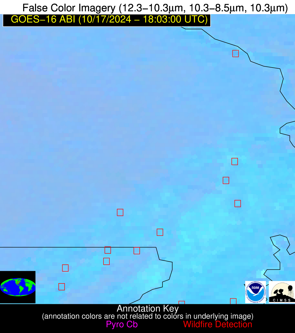
| Latest Satellite Imagery: | |
| View all event imagery » | |
Possible Wildfire
| Basic Information | |
|---|---|
| State/Province(s) | MO |
| Country/Countries | USA |
| County/Locality(s) | Butler County, MO |
| NWS WFO | Paducah KY |
| Identification Method | Enhanced Contextual (Clear) |
| Mean Object Date/Time | 2024-10-17 18:03:00UTC |
| Radiative Center (Lat, Lon): | 36.730000°, -90.330000° |
| Nearby Counties (meeting alert criteria): |
|
| Total Radiative Power Anomaly | n/a |
| Total Radiative Power | 16.45 MW |
| Map: | |
| Additional Information | |
| Alert Status | New Feature |
| Type of Event | Nominal Risk |
| Event Priority Ranking | 4 |
| Maximum Observed BT (3.9 um) | 307.24 K |
| Observed - Background BT (3.9 um) | 4.19 K |
| BT Anomaly (3.9 um) | 1.70 K |
| Maximum Observed - Clear RTM BT (3.9 um) | 16.01 K |
| Maximum Observed BTD (3.9-10/11/12 um) | 13.47 K |
| Observed - Background BTD (3.9-10/11/12 um) | 4.72 K |
| BTD Anomaly (3.9-10/11/12 um) | 3.83 K |
| Similar Pixel Count | 14 |
| BT Time Tendency (3.9 um) | 1.20 K |
| Image Interval | 1.00 minutes |
| Fraction of Surrounding LWIR Pixels that are Colder | 0.52 |
| Fraction of Surrounding Red Channel Pixels that are Brighter | 0.62 |
| Maximum Radiative Power | 16.45 MW |
| Maximum Radiative Power Uncertainty | 0.00 MW |
| Total Radiative Power Uncertainty | 0.00 MW |
| Mean Viewing Angle | 45.70° |
| Mean Solar Zenith Angle | 46.40° |
| Mean Glint Angle | 88.10° |
| Water Fraction | 0.00 |
| Total Pixel Area | 6.40 km2 |
| Latest Satellite Imagery: | |
| View all event imagery » | |
Possible Wildfire
| Basic Information | |
|---|---|
| State/Province(s) | AR |
| Country/Countries | USA |
| County/Locality(s) | Clay County, AR |
| NWS WFO | Memphis TN |
| Identification Method | Enhanced Contextual (Clear) |
| Mean Object Date/Time | 2024-10-17 18:03:00UTC |
| Radiative Center (Lat, Lon): | 36.360000°, -90.610000° |
| Nearby Counties (meeting alert criteria): |
|
| Total Radiative Power Anomaly | n/a |
| Total Radiative Power | 22.87 MW |
| Map: | |
| Additional Information | |
| Alert Status | New Feature |
| Type of Event | Nominal Risk |
| Event Priority Ranking | 4 |
| Maximum Observed BT (3.9 um) | 309.66 K |
| Observed - Background BT (3.9 um) | 5.32 K |
| BT Anomaly (3.9 um) | 2.16 K |
| Maximum Observed - Clear RTM BT (3.9 um) | 17.52 K |
| Maximum Observed BTD (3.9-10/11/12 um) | 14.73 K |
| Observed - Background BTD (3.9-10/11/12 um) | 5.45 K |
| BTD Anomaly (3.9-10/11/12 um) | 3.65 K |
| Similar Pixel Count | 4 |
| BT Time Tendency (3.9 um) | 1.40 K |
| Image Interval | 1.00 minutes |
| Fraction of Surrounding LWIR Pixels that are Colder | 0.57 |
| Fraction of Surrounding Red Channel Pixels that are Brighter | 0.79 |
| Maximum Radiative Power | 22.87 MW |
| Maximum Radiative Power Uncertainty | 0.00 MW |
| Total Radiative Power Uncertainty | 0.00 MW |
| Mean Viewing Angle | 45.40° |
| Mean Solar Zenith Angle | 46.00° |
| Mean Glint Angle | 87.40° |
| Water Fraction | 0.00 |
| Total Pixel Area | 6.40 km2 |
| Latest Satellite Imagery: | |
| View all event imagery » | |


