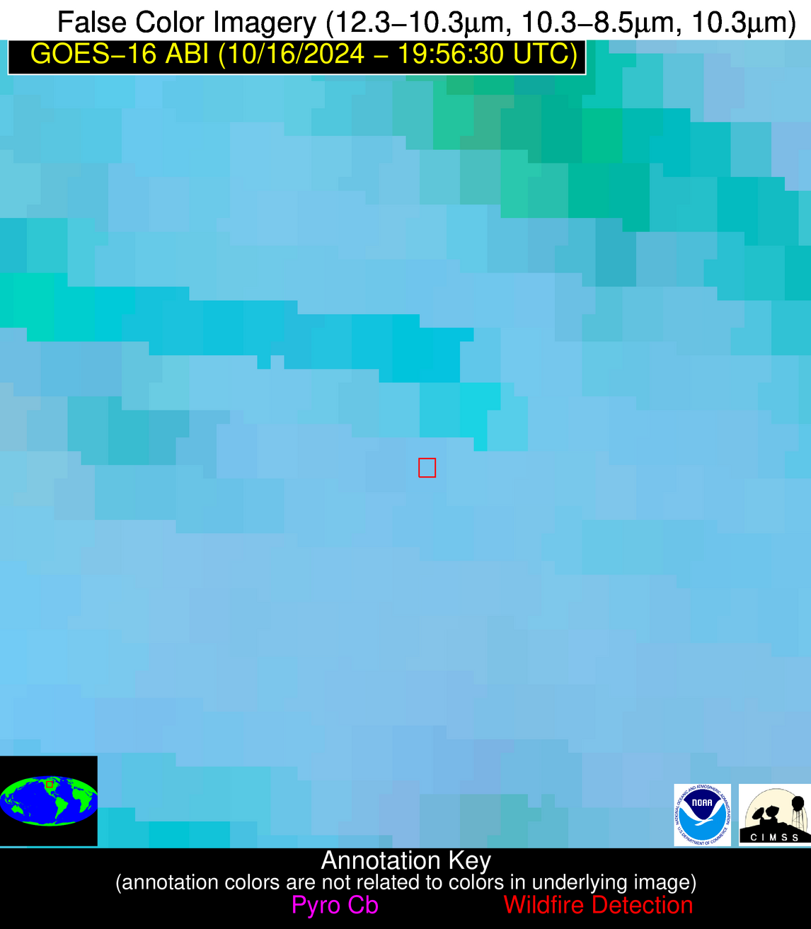
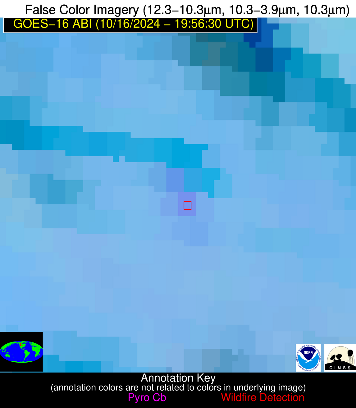
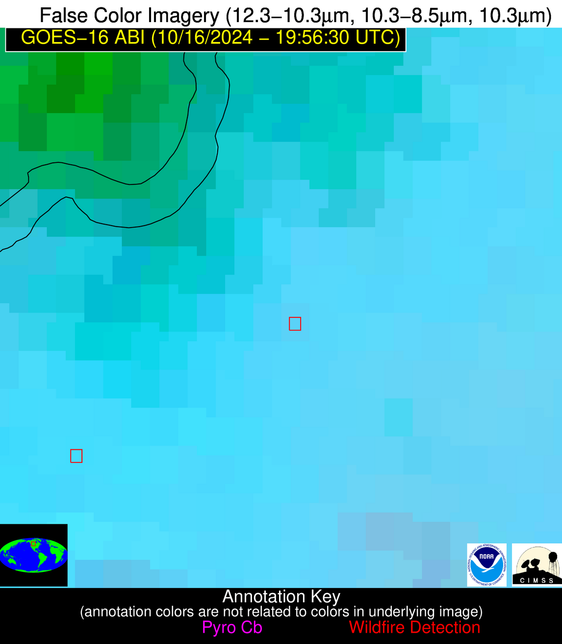
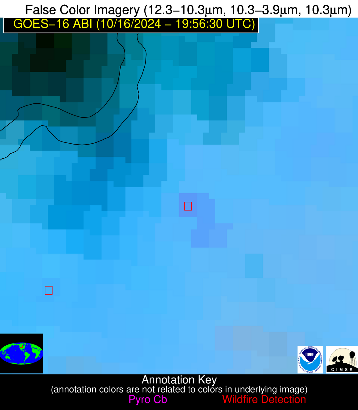
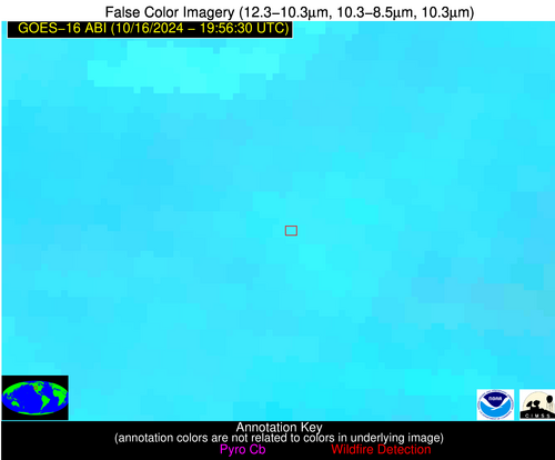
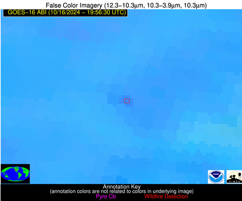
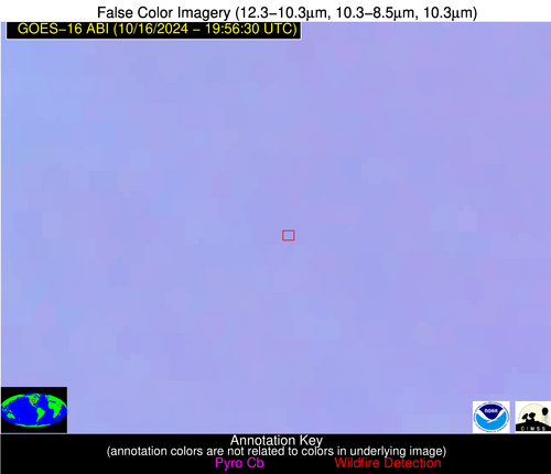
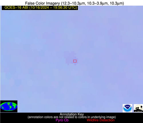
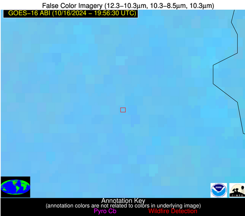
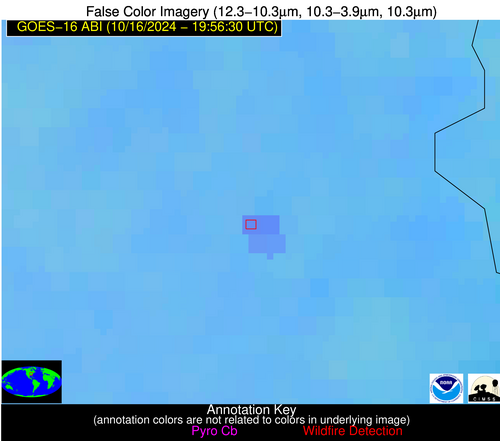
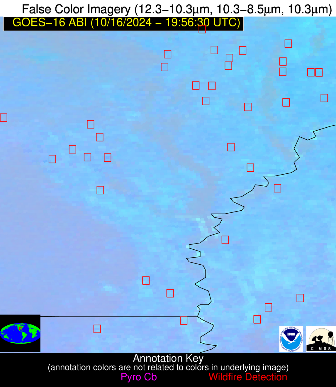
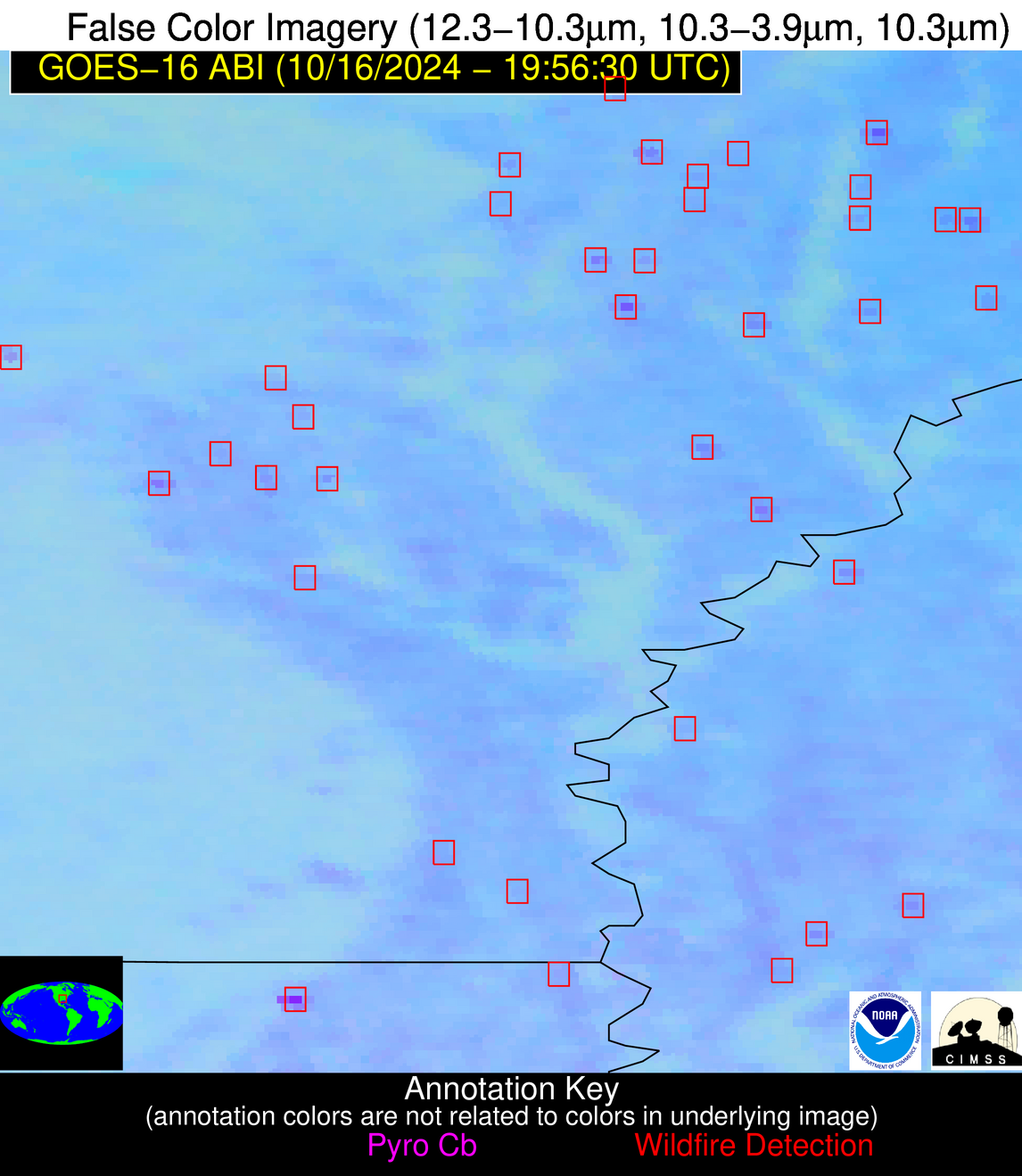
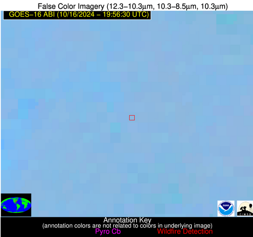
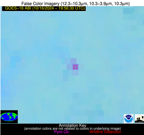
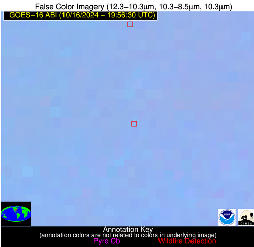
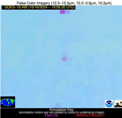
Please consider accessing NGFS detections and satellite imagery through the NOAA/NESDIS Wildland Fire Data Portal: https://fire.data.nesdis.noaa.gov/map/
Wildfire Notification Report
| Date: | 2024-10-16 |
|---|---|
| Time: | 19:56:17 |
| Production Date and Time: | 2024-10-16 20:01:03 UTC |
| Primary Instrument: | GOES-16 ABI |
| Wmo Spacecraft Id: | 152 |
| Location/orbit: | GEO |
| L1 File: | OR_ABI-L1b-RadC-M6C14_G16_s20242901956171_e20242901958544_c20242901959017.nc |
| L1 File(s) - Temporal | OR_ABI-L1b-RadC-M6C14_G16_s20242901951171_e20242901953544_c20242901954037.nc |
| Number Of Thermal Anomaly Notifications: | 10 |
Possible Wildfire
| Basic Information | |
|---|---|
| State/Province(s) | Saskatchewan |
| Country/Countries | Canada |
| County/Locality(s) | Division No. 5, Saskatchewan |
| NWS WFO | N/A |
| Identification Method | Enhanced Contextual (Clear) |
| Mean Object Date/Time | 2024-10-16 19:56:20UTC |
| Radiative Center (Lat, Lon): | 51.040000°, -102.060000° |
| Nearby Counties (meeting notification criteria): |
|
| Total Radiative Power Anomaly | n/a |
| Total Radiative Power | 25.29 MW |
| Map: | |
| Additional Information | |
| Notification Status | New Feature |
| Type of Event | Nominal Risk |
| Event Priority Ranking | 4 |
| Maximum Observed BT (3.9 um) | 299.83 K |
| Observed - Background BT (3.9 um) | 5.96 K |
| BT Anomaly (3.9 um) | 8.63 K |
| Maximum Observed - Clear RTM BT (3.9 um) | 12.29 K |
| Maximum Observed BTD (3.9-10/11/12 um) | 12.04 K |
| Observed - Background BTD (3.9-10/11/12 um) | 5.10 K |
| BTD Anomaly (3.9-10/11/12 um) | 7.98 K |
| Similar Pixel Count | 13 |
| BT Time Tendency (3.9 um) | 3.50 K |
| Image Interval | 5.00 minutes |
| Fraction of Surrounding LWIR Pixels that are Colder | 0.99 |
| Fraction of Surrounding Red Channel Pixels that are Brighter | 1.00 |
| Maximum Radiative Power | 25.29 MW |
| Maximum Radiative Power Uncertainty | 0.00 MW |
| Total Radiative Power Uncertainty | 0.00 MW |
| Mean Viewing Angle | 64.10° |
| Mean Solar Zenith Angle | 62.80° |
| Mean Glint Angle | 104.20° |
| Water Fraction | 0.00 |
| Total Pixel Area | 12.40 km2 |
| Latest Satellite Imagery: | |
| View all event imagery » | |
Possible Wildfire
| Basic Information | |
|---|---|
| State/Province(s) | Saskatchewan |
| Country/Countries | Canada |
| County/Locality(s) | Division No. 7, Saskatchewan |
| NWS WFO | N/A |
| Identification Method | Enhanced Contextual (Clear) |
| Mean Object Date/Time | 2024-10-16 19:56:20UTC |
| Radiative Center (Lat, Lon): | 50.630000°, -106.830000° |
| Nearby Counties (meeting notification criteria): |
|
| Total Radiative Power Anomaly | n/a |
| Total Radiative Power | 25.14 MW |
| Map: | |
| Additional Information | |
| Notification Status | New Feature |
| Type of Event | Nominal Risk |
| Event Priority Ranking | 4 |
| Maximum Observed BT (3.9 um) | 300.67 K |
| Observed - Background BT (3.9 um) | 4.16 K |
| BT Anomaly (3.9 um) | 3.72 K |
| Maximum Observed - Clear RTM BT (3.9 um) | 11.25 K |
| Maximum Observed BTD (3.9-10/11/12 um) | 11.53 K |
| Observed - Background BTD (3.9-10/11/12 um) | 4.52 K |
| BTD Anomaly (3.9-10/11/12 um) | 6.94 K |
| Similar Pixel Count | 14 |
| BT Time Tendency (3.9 um) | 4.70 K |
| Image Interval | 5.00 minutes |
| Fraction of Surrounding LWIR Pixels that are Colder | 0.65 |
| Fraction of Surrounding Red Channel Pixels that are Brighter | 1.00 |
| Maximum Radiative Power | 25.14 MW |
| Maximum Radiative Power Uncertainty | 0.00 MW |
| Total Radiative Power Uncertainty | 0.00 MW |
| Mean Viewing Angle | 65.60° |
| Mean Solar Zenith Angle | 61.30° |
| Mean Glint Angle | 104.00° |
| Water Fraction | 0.00 |
| Total Pixel Area | 14.00 km2 |
| Latest Satellite Imagery: | |
| View all event imagery » | |
Possible Wildfire
| Basic Information | |
|---|---|
| State/Province(s) | ID |
| Country/Countries | USA |
| County/Locality(s) | Madison County, ID |
| NWS WFO | Pocatello ID |
| Identification Method | Enhanced Contextual (Clear) |
| Mean Object Date/Time | 2024-10-16 19:56:49UTC |
| Radiative Center (Lat, Lon): | 43.770000°, -111.760000° |
| Nearby Counties (meeting notification criteria): |
|
| Total Radiative Power Anomaly | n/a |
| Total Radiative Power | 23.07 MW |
| Map: | |
| Additional Information | |
| Notification Status | New Feature |
| Type of Event | Nominal Risk |
| Event Priority Ranking | 4 |
| Maximum Observed BT (3.9 um) | 308.12 K |
| Observed - Background BT (3.9 um) | 5.16 K |
| BT Anomaly (3.9 um) | 3.65 K |
| Maximum Observed - Clear RTM BT (3.9 um) | 15.22 K |
| Maximum Observed BTD (3.9-10/11/12 um) | 13.94 K |
| Observed - Background BTD (3.9-10/11/12 um) | 4.12 K |
| BTD Anomaly (3.9-10/11/12 um) | 5.31 K |
| Similar Pixel Count | 19 |
| BT Time Tendency (3.9 um) | 1.20 K |
| Image Interval | 5.00 minutes |
| Fraction of Surrounding LWIR Pixels that are Colder | 0.93 |
| Fraction of Surrounding Red Channel Pixels that are Brighter | 0.87 |
| Maximum Radiative Power | 23.07 MW |
| Maximum Radiative Power Uncertainty | 0.00 MW |
| Total Radiative Power Uncertainty | 0.00 MW |
| Mean Viewing Angle | 62.60° |
| Mean Solar Zenith Angle | 53.80° |
| Mean Glint Angle | 94.70° |
| Water Fraction | 0.00 |
| Total Pixel Area | 12.70 km2 |
| Latest Satellite Imagery: | |
| View all event imagery » | |
Possible Wildfire
| Basic Information | |
|---|---|
| State/Province(s) | NE |
| Country/Countries | USA |
| County/Locality(s) | Boone County, NE |
| NWS WFO | Omaha/Valley NE |
| Identification Method | Enhanced Contextual (Clear) |
| Mean Object Date/Time | 2024-10-16 19:56:50UTC |
| Radiative Center (Lat, Lon): | 41.670000°, -97.890000° |
| Nearby Counties (meeting notification criteria): |
|
| Total Radiative Power Anomaly | n/a |
| Total Radiative Power | 6.34 MW |
| Map: | |
| Additional Information | |
| Notification Status | New Feature |
| Type of Event | Critical SPC Risk and Red Flag Warning |
| Event Priority Ranking | 1 |
| Maximum Observed BT (3.9 um) | 296.88 K |
| Observed - Background BT (3.9 um) | 2.05 K |
| BT Anomaly (3.9 um) | 6.18 K |
| Maximum Observed - Clear RTM BT (3.9 um) | 9.90 K |
| Maximum Observed BTD (3.9-10/11/12 um) | 8.30 K |
| Observed - Background BTD (3.9-10/11/12 um) | 2.19 K |
| BTD Anomaly (3.9-10/11/12 um) | 6.13 K |
| Similar Pixel Count | 24 |
| BT Time Tendency (3.9 um) | 2.00 K |
| Image Interval | 5.00 minutes |
| Fraction of Surrounding LWIR Pixels that are Colder | 0.34 |
| Fraction of Surrounding Red Channel Pixels that are Brighter | 0.96 |
| Maximum Radiative Power | 6.34 MW |
| Maximum Radiative Power Uncertainty | 0.00 MW |
| Total Radiative Power Uncertainty | 0.00 MW |
| Mean Viewing Angle | 53.70° |
| Mean Solar Zenith Angle | 55.70° |
| Mean Glint Angle | 88.60° |
| Water Fraction | 0.00 |
| Total Pixel Area | 8.20 km2 |
| Latest Satellite Imagery: | |
| View all event imagery » | |
Possible Wildfire
| Basic Information | |
|---|---|
| State/Province(s) | IL |
| Country/Countries | USA |
| County/Locality(s) | Crawford County, IL |
| NWS WFO | Lincoln IL |
| Identification Method | Enhanced Contextual (Clear) |
| Mean Object Date/Time | 2024-10-16 19:56:51UTC |
| Radiative Center (Lat, Lon): | 39.050000°, -87.900000° |
| Nearby Counties (meeting notification criteria): |
|
| Total Radiative Power Anomaly | n/a |
| Total Radiative Power | 36.00 MW |
| Map: | |
| Additional Information | |
| Notification Status | New Feature |
| Type of Event | Nominal Risk |
| Event Priority Ranking | 4 |
| Maximum Observed BT (3.9 um) | 302.71 K |
| Observed - Background BT (3.9 um) | 7.72 K |
| BT Anomaly (3.9 um) | 6.22 K |
| Maximum Observed - Clear RTM BT (3.9 um) | 17.04 K |
| Maximum Observed BTD (3.9-10/11/12 um) | 13.43 K |
| Observed - Background BTD (3.9-10/11/12 um) | 6.67 K |
| BTD Anomaly (3.9-10/11/12 um) | 12.68 K |
| Similar Pixel Count | 4 |
| BT Time Tendency (3.9 um) | 5.60 K |
| Image Interval | 5.00 minutes |
| Fraction of Surrounding LWIR Pixels that are Colder | 0.65 |
| Fraction of Surrounding Red Channel Pixels that are Brighter | 0.88 |
| Maximum Radiative Power | 18.83 MW |
| Maximum Radiative Power Uncertainty | 0.00 MW |
| Total Radiative Power Uncertainty | 0.00 MW |
| Mean Viewing Angle | 47.30° |
| Mean Solar Zenith Angle | 58.00° |
| Mean Glint Angle | 86.50° |
| Water Fraction | 0.00 |
| Total Pixel Area | 13.30 km2 |
| Latest Satellite Imagery: | |
| View all event imagery » | |
Possible Wildfire
| Basic Information | |
|---|---|
| State/Province(s) | AR |
| Country/Countries | USA |
| County/Locality(s) | Poinsett County, AR |
| NWS WFO | Memphis TN |
| Identification Method | Enhanced Contextual (Cloud) |
| Mean Object Date/Time | 2024-10-16 19:57:21UTC |
| Radiative Center (Lat, Lon): | 35.650000°, -90.620000° |
| Nearby Counties (meeting notification criteria): |
|
| Total Radiative Power Anomaly | n/a |
| Total Radiative Power | 43.62 MW |
| Map: | |
| Additional Information | |
| Notification Status | New Feature |
| Type of Event | Nominal Risk |
| Event Priority Ranking | 4 |
| Maximum Observed BT (3.9 um) | 311.63 K |
| Observed - Background BT (3.9 um) | 12.25 K |
| BT Anomaly (3.9 um) | 6.04 K |
| Maximum Observed - Clear RTM BT (3.9 um) | 25.81 K |
| Maximum Observed BTD (3.9-10/11/12 um) | 19.78 K |
| Observed - Background BTD (3.9-10/11/12 um) | 12.24 K |
| BTD Anomaly (3.9-10/11/12 um) | 13.55 K |
| Similar Pixel Count | 0 |
| BT Time Tendency (3.9 um) | 8.70 K |
| Image Interval | 5.00 minutes |
| Fraction of Surrounding LWIR Pixels that are Colder | 0.59 |
| Fraction of Surrounding Red Channel Pixels that are Brighter | 0.86 |
| Maximum Radiative Power | 43.62 MW |
| Maximum Radiative Power Uncertainty | 0.00 MW |
| Total Radiative Power Uncertainty | 0.00 MW |
| Mean Viewing Angle | 44.70° |
| Mean Solar Zenith Angle | 54.10° |
| Mean Glint Angle | 79.40° |
| Water Fraction | 0.00 |
| Total Pixel Area | 6.30 km2 |
| Latest Satellite Imagery: | |
| View all event imagery » | |
Possible Wildfire
| Basic Information | |
|---|---|
| State/Province(s) | TN |
| Country/Countries | USA |
| County/Locality(s) | Wayne County, TN |
| NWS WFO | Nashville TN |
| Identification Method | Enhanced Contextual (Clear) |
| Mean Object Date/Time | 2024-10-16 19:57:21UTC |
| Radiative Center (Lat, Lon): | 35.330000°, -87.930000° |
| Nearby Counties (meeting notification criteria): |
|
| Total Radiative Power Anomaly | n/a |
| Total Radiative Power | 26.43 MW |
| Map: | |
| Additional Information | |
| Notification Status | New Feature |
| Type of Event | Nominal Risk |
| Event Priority Ranking | 4 |
| Maximum Observed BT (3.9 um) | 299.96 K |
| Observed - Background BT (3.9 um) | 10.65 K |
| BT Anomaly (3.9 um) | 11.14 K |
| Maximum Observed - Clear RTM BT (3.9 um) | 16.94 K |
| Maximum Observed BTD (3.9-10/11/12 um) | 14.29 K |
| Observed - Background BTD (3.9-10/11/12 um) | 11.00 K |
| BTD Anomaly (3.9-10/11/12 um) | 33.11 K |
| Similar Pixel Count | 1 |
| BT Time Tendency (3.9 um) | 8.50 K |
| Image Interval | 5.00 minutes |
| Fraction of Surrounding LWIR Pixels that are Colder | 0.30 |
| Fraction of Surrounding Red Channel Pixels that are Brighter | 1.00 |
| Maximum Radiative Power | 26.43 MW |
| Maximum Radiative Power Uncertainty | 0.00 MW |
| Total Radiative Power Uncertainty | 0.00 MW |
| Mean Viewing Angle | 43.40° |
| Mean Solar Zenith Angle | 55.30° |
| Mean Glint Angle | 80.10° |
| Water Fraction | 0.00 |
| Total Pixel Area | 6.10 km2 |
| Latest Satellite Imagery: | |
| View all event imagery » | |
Possible Wildfire
| Basic Information | |
|---|---|
| State/Province(s) | AR |
| Country/Countries | USA |
| County/Locality(s) | Pulaski County, AR |
| NWS WFO | Little Rock AR |
| Identification Method | Enhanced Contextual (Clear) |
| Mean Object Date/Time | 2024-10-16 19:57:20UTC |
| Radiative Center (Lat, Lon): | 34.530000°, -92.040000° |
| Nearby Counties (meeting notification criteria): |
|
| Total Radiative Power Anomaly | n/a |
| Total Radiative Power | 28.64 MW |
| Map: | |
| Additional Information | |
| Notification Status | New Feature |
| Type of Event | Nominal Risk |
| Event Priority Ranking | 4 |
| Maximum Observed BT (3.9 um) | 309.85 K |
| Observed - Background BT (3.9 um) | 9.15 K |
| BT Anomaly (3.9 um) | 6.86 K |
| Maximum Observed - Clear RTM BT (3.9 um) | 21.83 K |
| Maximum Observed BTD (3.9-10/11/12 um) | 15.26 K |
| Observed - Background BTD (3.9-10/11/12 um) | 8.51 K |
| BTD Anomaly (3.9-10/11/12 um) | 11.67 K |
| Similar Pixel Count | 2 |
| BT Time Tendency (3.9 um) | 6.30 K |
| Image Interval | 5.00 minutes |
| Fraction of Surrounding LWIR Pixels that are Colder | 0.87 |
| Fraction of Surrounding Red Channel Pixels that are Brighter | 0.69 |
| Maximum Radiative Power | 28.64 MW |
| Maximum Radiative Power Uncertainty | 0.00 MW |
| Total Radiative Power Uncertainty | 0.00 MW |
| Mean Viewing Angle | 44.20° |
| Mean Solar Zenith Angle | 52.40° |
| Mean Glint Angle | 76.90° |
| Water Fraction | 0.00 |
| Total Pixel Area | 6.30 km2 |
| Latest Satellite Imagery: | |
| View all event imagery » | |
Possible Wildfire
| Basic Information | |
|---|---|
| State/Province(s) | LA |
| Country/Countries | USA |
| County/Locality(s) | Morehouse Parish, LA |
| NWS WFO | Jackson MS |
| Identification Method | Enhanced Contextual (Cloud) |
| Mean Object Date/Time | 2024-10-16 19:57:20UTC |
| Radiative Center (Lat, Lon): | 32.880000°, -91.770000° |
| Nearby Counties (meeting notification criteria): |
|
| Total Radiative Power Anomaly | n/a |
| Total Radiative Power | 84.73 MW |
| Map: | |
| Additional Information | |
| Notification Status | New Feature |
| Type of Event | Nominal Risk |
| Event Priority Ranking | 4 |
| Maximum Observed BT (3.9 um) | 322.04 K |
| Observed - Background BT (3.9 um) | 21.18 K |
| BT Anomaly (3.9 um) | 13.60 K |
| Maximum Observed - Clear RTM BT (3.9 um) | 33.65 K |
| Maximum Observed BTD (3.9-10/11/12 um) | 26.67 K |
| Observed - Background BTD (3.9-10/11/12 um) | 20.51 K |
| BTD Anomaly (3.9-10/11/12 um) | 27.57 K |
| Similar Pixel Count | 0 |
| BT Time Tendency (3.9 um) | 16.70 K |
| Image Interval | 5.00 minutes |
| Fraction of Surrounding LWIR Pixels that are Colder | 0.85 |
| Fraction of Surrounding Red Channel Pixels that are Brighter | 0.37 |
| Maximum Radiative Power | 84.73 MW |
| Maximum Radiative Power Uncertainty | 0.00 MW |
| Total Radiative Power Uncertainty | 0.00 MW |
| Mean Viewing Angle | 42.40° |
| Mean Solar Zenith Angle | 51.30° |
| Mean Glint Angle | 74.00° |
| Water Fraction | 0.00 |
| Total Pixel Area | 6.00 km2 |
| Latest Satellite Imagery: | |
| View all event imagery » | |
Possible Wildfire
| Basic Information | |
|---|---|
| State/Province(s) | AL |
| Country/Countries | USA |
| County/Locality(s) | Barbour County, AL |
| NWS WFO | Birmingham AL |
| Identification Method | Enhanced Contextual (Clear) |
| Mean Object Date/Time | 2024-10-16 19:57:21UTC |
| Radiative Center (Lat, Lon): | 31.910000°, -85.610000° |
| Nearby Counties (meeting notification criteria): |
|
| Total Radiative Power Anomaly | n/a |
| Total Radiative Power | 7.53 MW |
| Map: | |
| Additional Information | |
| Notification Status | New Feature |
| Type of Event | Nominal Risk |
| Event Priority Ranking | 4 |
| Maximum Observed BT (3.9 um) | 295.33 K |
| Observed - Background BT (3.9 um) | 3.68 K |
| BT Anomaly (3.9 um) | 3.94 K |
| Maximum Observed - Clear RTM BT (3.9 um) | 9.28 K |
| Maximum Observed BTD (3.9-10/11/12 um) | 6.55 K |
| Observed - Background BTD (3.9-10/11/12 um) | 3.61 K |
| BTD Anomaly (3.9-10/11/12 um) | 9.67 K |
| Similar Pixel Count | 3 |
| BT Time Tendency (3.9 um) | 0.70 K |
| Image Interval | 5.00 minutes |
| Fraction of Surrounding LWIR Pixels that are Colder | 0.53 |
| Fraction of Surrounding Red Channel Pixels that are Brighter | 1.00 |
| Maximum Radiative Power | 7.53 MW |
| Maximum Radiative Power Uncertainty | 0.00 MW |
| Total Radiative Power Uncertainty | 0.00 MW |
| Mean Viewing Angle | 39.00° |
| Mean Solar Zenith Angle | 54.30° |
| Mean Glint Angle | 75.50° |
| Water Fraction | 0.00 |
| Total Pixel Area | 5.60 km2 |
| Latest Satellite Imagery: | |
| View all event imagery » | |
