Jan 2026: Due to an ongoing data center cooling system construction project, NGFS data outages may occur with little or no notice.
Wildfire Alert Report
| Date: | 2024-10-16 |
|---|---|
| Time: | 19:11:17 |
| Production Date and Time: | 2024-10-16 19:16:07 UTC |
| Primary Instrument: | GOES-16 ABI |
| Wmo Spacecraft Id: | 152 |
| Location/orbit: | GEO |
| L1 File: | OR_ABI-L1b-RadC-M6C14_G16_s20242901911171_e20242901913544_c20242901914031.nc |
| L1 File(s) - Temporal | OR_ABI-L1b-RadC-M6C14_G16_s20242901906171_e20242901908544_c20242901909008.nc |
| Number Of Thermal Anomaly Alerts: | 7 |
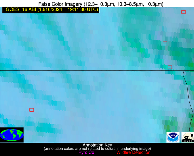
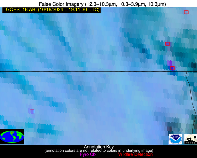
Possible Wildfire
| Basic Information | |
|---|---|
| State/Province(s) | Manitoba |
| Country/Countries | Canada |
| County/Locality(s) | Division No. 3, Manitoba |
| NWS WFO | N/A |
| Identification Method | Enhanced Contextual (Cloud) |
| Mean Object Date/Time | 2024-10-16 19:11:20UTC |
| Radiative Center (Lat, Lon): | 49.200000°, -97.460000° |
| Nearby Counties (meeting alert criteria): |
|
| Total Radiative Power Anomaly | n/a |
| Total Radiative Power | 50.91 MW |
| Map: | |
| Additional Information | |
| Alert Status | New Feature |
| Type of Event | Nominal Risk |
| Event Priority Ranking | 4 |
| Maximum Observed BT (3.9 um) | 300.79 K |
| Observed - Background BT (3.9 um) | 10.68 K |
| BT Anomaly (3.9 um) | 8.09 K |
| Maximum Observed - Clear RTM BT (3.9 um) | 14.96 K |
| Maximum Observed BTD (3.9-10/11/12 um) | 22.28 K |
| Observed - Background BTD (3.9-10/11/12 um) | 10.75 K |
| BTD Anomaly (3.9-10/11/12 um) | 9.23 K |
| Similar Pixel Count | 0 |
| BT Time Tendency (3.9 um) | 7.70 K |
| Image Interval | 5.00 minutes |
| Fraction of Surrounding LWIR Pixels that are Colder | 0.55 |
| Fraction of Surrounding Red Channel Pixels that are Brighter | 0.89 |
| Maximum Radiative Power | 50.91 MW |
| Maximum Radiative Power Uncertainty | 0.00 MW |
| Total Radiative Power Uncertainty | 0.00 MW |
| Mean Viewing Angle | 60.70° |
| Mean Solar Zenith Angle | 59.60° |
| Mean Glint Angle | 106.70° |
| Water Fraction | 0.00 |
| Total Pixel Area | 10.40 km2 |
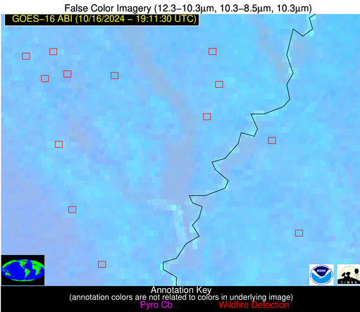
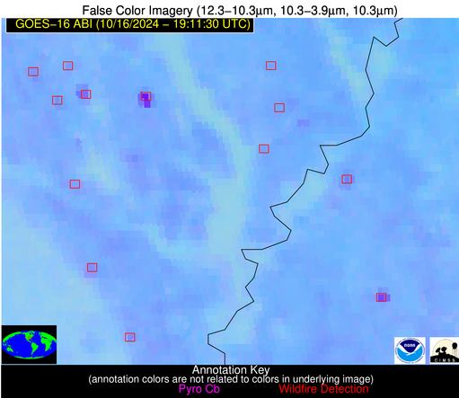
| Latest Satellite Imagery: | |
| View all event imagery » | |
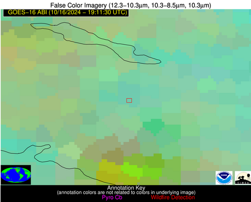
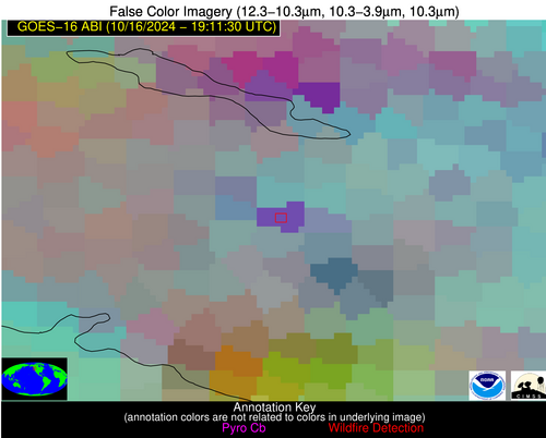
Possible Wildfire
| Basic Information | |
|---|---|
| State/Province(s) | ND |
| Country/Countries | USA |
| County/Locality(s) | Towner County, ND |
| NWS WFO | Grand Forks ND |
| Identification Method | Enhanced Contextual (Cloud) |
| Mean Object Date/Time | 2024-10-16 19:11:20UTC |
| Radiative Center (Lat, Lon): | 48.710000°, -99.150000° |
| Nearby Counties (meeting alert criteria): |
|
| Total Radiative Power Anomaly | n/a |
| Total Radiative Power | 33.58 MW |
| Map: | |
| Additional Information | |
| Alert Status | New Feature |
| Type of Event | Nominal Risk |
| Event Priority Ranking | 4 |
| Maximum Observed BT (3.9 um) | 303.32 K |
| Observed - Background BT (3.9 um) | 8.04 K |
| BT Anomaly (3.9 um) | 9.05 K |
| Maximum Observed - Clear RTM BT (3.9 um) | 16.36 K |
| Maximum Observed BTD (3.9-10/11/12 um) | 15.42 K |
| Observed - Background BTD (3.9-10/11/12 um) | 7.16 K |
| BTD Anomaly (3.9-10/11/12 um) | 10.76 K |
| Similar Pixel Count | 0 |
| BT Time Tendency (3.9 um) | 7.60 K |
| Image Interval | 5.00 minutes |
| Fraction of Surrounding LWIR Pixels that are Colder | 0.88 |
| Fraction of Surrounding Red Channel Pixels that are Brighter | 1.00 |
| Maximum Radiative Power | 33.58 MW |
| Maximum Radiative Power Uncertainty | 0.00 MW |
| Total Radiative Power Uncertainty | 0.00 MW |
| Mean Viewing Angle | 60.80° |
| Mean Solar Zenith Angle | 58.80° |
| Mean Glint Angle | 106.10° |
| Water Fraction | 0.00 |
| Total Pixel Area | 10.60 km2 |
| Latest Satellite Imagery: | |
| View all event imagery » | |
Possible Wildfire
| Basic Information | |
|---|---|
| State/Province(s) | British Columbia |
| Country/Countries | Canada |
| County/Locality(s) | Cowichan Valley, British Columbia |
| NWS WFO | N/A |
| Identification Method | Enhanced Contextual (Cloud) |
| Mean Object Date/Time | 2024-10-16 19:11:18UTC |
| Radiative Center (Lat, Lon): | 48.690000°, -124.150000° |
| Nearby Counties (meeting alert criteria): |
|
| Total Radiative Power Anomaly | n/a |
| Total Radiative Power | 93.35 MW |
| Map: | |
| Additional Information | |
| Alert Status | New Feature |
| Type of Event | Nominal Risk |
| Event Priority Ranking | 4 |
| Maximum Observed BT (3.9 um) | 296.93 K |
| Observed - Background BT (3.9 um) | 14.29 K |
| BT Anomaly (3.9 um) | 9.11 K |
| Maximum Observed - Clear RTM BT (3.9 um) | 21.50 K |
| Maximum Observed BTD (3.9-10/11/12 um) | 21.71 K |
| Observed - Background BTD (3.9-10/11/12 um) | 14.35 K |
| BTD Anomaly (3.9-10/11/12 um) | 6.67 K |
| Similar Pixel Count | 0 |
| BT Time Tendency (3.9 um) | 2.90 K |
| Image Interval | 5.00 minutes |
| Fraction of Surrounding LWIR Pixels that are Colder | 0.81 |
| Fraction of Surrounding Red Channel Pixels that are Brighter | 0.85 |
| Maximum Radiative Power | 93.35 MW |
| Maximum Radiative Power Uncertainty | 0.00 MW |
| Total Radiative Power Uncertainty | 0.00 MW |
| Mean Viewing Angle | 73.20° |
| Mean Solar Zenith Angle | 58.90° |
| Mean Glint Angle | 117.20° |
| Water Fraction | 0.00 |
| Total Pixel Area | 28.70 km2 |
| Latest Satellite Imagery: | |
| View all event imagery » | |
Possible Wildfire
| Basic Information | |
|---|---|
| State/Province(s) | AR |
| Country/Countries | USA |
| County/Locality(s) | Lonoke County, AR |
| NWS WFO | Little Rock AR |
| Identification Method | Enhanced Contextual (Clear) |
| Mean Object Date/Time | 2024-10-16 19:12:20UTC |
| Radiative Center (Lat, Lon): | 34.550000°, -91.710000° |
| Nearby Counties (meeting alert criteria): |
|
| Total Radiative Power Anomaly | n/a |
| Total Radiative Power | 62.22 MW |
| Map: | |
| Additional Information | |
| Alert Status | New Feature |
| Type of Event | Nominal Risk |
| Event Priority Ranking | 4 |
| Maximum Observed BT (3.9 um) | 311.37 K |
| Observed - Background BT (3.9 um) | 9.51 K |
| BT Anomaly (3.9 um) | 5.31 K |
| Maximum Observed - Clear RTM BT (3.9 um) | 21.65 K |
| Maximum Observed BTD (3.9-10/11/12 um) | 16.81 K |
| Observed - Background BTD (3.9-10/11/12 um) | 9.11 K |
| BTD Anomaly (3.9-10/11/12 um) | 9.61 K |
| Similar Pixel Count | 3 |
| BT Time Tendency (3.9 um) | 7.00 K |
| Image Interval | 5.00 minutes |
| Fraction of Surrounding LWIR Pixels that are Colder | 0.71 |
| Fraction of Surrounding Red Channel Pixels that are Brighter | 0.99 |
| Maximum Radiative Power | 31.79 MW |
| Maximum Radiative Power Uncertainty | 0.00 MW |
| Total Radiative Power Uncertainty | 0.00 MW |
| Mean Viewing Angle | 44.10° |
| Mean Solar Zenith Angle | 47.50° |
| Mean Glint Angle | 79.10° |
| Water Fraction | 0.00 |
| Total Pixel Area | 12.50 km2 |
| Latest Satellite Imagery: | |
| View all event imagery » | |
Possible Wildfire
| Basic Information | |
|---|---|
| State/Province(s) | AR |
| Country/Countries | USA |
| County/Locality(s) | Arkansas County, AR |
| NWS WFO | Little Rock AR |
| Identification Method | Enhanced Contextual (Cloud) |
| Mean Object Date/Time | 2024-10-16 19:12:21UTC |
| Radiative Center (Lat, Lon): | 34.540000°, -91.470000° |
| Nearby Counties (meeting alert criteria): |
|
| Total Radiative Power Anomaly | n/a |
| Total Radiative Power | 199.34 MW |
| Map: | |
| Additional Information | |
| Alert Status | New Feature |
| Type of Event | Nominal Risk |
| Event Priority Ranking | 4 |
| Maximum Observed BT (3.9 um) | 323.47 K |
| Observed - Background BT (3.9 um) | 22.07 K |
| BT Anomaly (3.9 um) | 12.96 K |
| Maximum Observed - Clear RTM BT (3.9 um) | 33.82 K |
| Maximum Observed BTD (3.9-10/11/12 um) | 29.57 K |
| Observed - Background BTD (3.9-10/11/12 um) | 21.84 K |
| BTD Anomaly (3.9-10/11/12 um) | 30.76 K |
| Similar Pixel Count | 0 |
| BT Time Tendency (3.9 um) | 20.70 K |
| Image Interval | 5.00 minutes |
| Fraction of Surrounding LWIR Pixels that are Colder | 0.66 |
| Fraction of Surrounding Red Channel Pixels that are Brighter | 0.85 |
| Maximum Radiative Power | 131.17 MW |
| Maximum Radiative Power Uncertainty | 0.00 MW |
| Total Radiative Power Uncertainty | 0.00 MW |
| Mean Viewing Angle | 43.90° |
| Mean Solar Zenith Angle | 47.60° |
| Mean Glint Angle | 79.10° |
| Water Fraction | 0.00 |
| Total Pixel Area | 18.70 km2 |
| Latest Satellite Imagery: | |
| View all event imagery » | |
Possible Wildfire
| Basic Information | |
|---|---|
| State/Province(s) | MS |
| Country/Countries | USA |
| County/Locality(s) | Sunflower County, MS |
| NWS WFO | Jackson MS |
| Identification Method | Enhanced Contextual (Cloud) |
| Mean Object Date/Time | 2024-10-16 19:12:21UTC |
| Radiative Center (Lat, Lon): | 33.830000°, -90.520000° |
| Nearby Counties (meeting alert criteria): |
|
| Total Radiative Power Anomaly | n/a |
| Total Radiative Power | 99.14 MW |
| Map: | |
| Additional Information | |
| Alert Status | New Feature |
| Type of Event | Nominal Risk |
| Event Priority Ranking | 4 |
| Maximum Observed BT (3.9 um) | 319.42 K |
| Observed - Background BT (3.9 um) | 15.36 K |
| BT Anomaly (3.9 um) | 11.11 K |
| Maximum Observed - Clear RTM BT (3.9 um) | 30.01 K |
| Maximum Observed BTD (3.9-10/11/12 um) | 22.41 K |
| Observed - Background BTD (3.9-10/11/12 um) | 14.77 K |
| BTD Anomaly (3.9-10/11/12 um) | 19.30 K |
| Similar Pixel Count | 0 |
| BT Time Tendency (3.9 um) | 13.90 K |
| Image Interval | 5.00 minutes |
| Fraction of Surrounding LWIR Pixels that are Colder | 0.81 |
| Fraction of Surrounding Red Channel Pixels that are Brighter | 0.81 |
| Maximum Radiative Power | 62.00 MW |
| Maximum Radiative Power Uncertainty | 0.00 MW |
| Total Radiative Power Uncertainty | 0.00 MW |
| Mean Viewing Angle | 42.80° |
| Mean Solar Zenith Angle | 47.30° |
| Mean Glint Angle | 77.90° |
| Water Fraction | 0.00 |
| Total Pixel Area | 12.10 km2 |
| Latest Satellite Imagery: | |
| View all event imagery » | |
Possible Wildfire
| Basic Information | |
|---|---|
| State/Province(s) | AL |
| Country/Countries | USA |
| County/Locality(s) | Lowndes County, AL |
| NWS WFO | Birmingham AL |
| Identification Method | Enhanced Contextual (Clear) |
| Mean Object Date/Time | 2024-10-16 19:12:21UTC |
| Radiative Center (Lat, Lon): | 32.050000°, -86.730000° |
| Nearby Counties (meeting alert criteria): |
|
| Total Radiative Power Anomaly | n/a |
| Total Radiative Power | 5.38 MW |
| Map: | |
| Additional Information | |
| Alert Status | New Feature |
| Type of Event | Nominal Risk |
| Event Priority Ranking | 4 |
| Maximum Observed BT (3.9 um) | 294.88 K |
| Observed - Background BT (3.9 um) | 2.16 K |
| BT Anomaly (3.9 um) | 1.83 K |
| Maximum Observed - Clear RTM BT (3.9 um) | 6.63 K |
| Maximum Observed BTD (3.9-10/11/12 um) | 5.61 K |
| Observed - Background BTD (3.9-10/11/12 um) | 2.38 K |
| BTD Anomaly (3.9-10/11/12 um) | 5.65 K |
| Similar Pixel Count | 4 |
| BT Time Tendency (3.9 um) | 1.10 K |
| Image Interval | 5.00 minutes |
| Fraction of Surrounding LWIR Pixels that are Colder | 0.50 |
| Fraction of Surrounding Red Channel Pixels that are Brighter | 1.00 |
| Maximum Radiative Power | 5.38 MW |
| Maximum Radiative Power Uncertainty | 0.00 MW |
| Total Radiative Power Uncertainty | 0.00 MW |
| Mean Viewing Angle | 39.50° |
| Mean Solar Zenith Angle | 47.50° |
| Mean Glint Angle | 75.30° |
| Water Fraction | 0.00 |
| Total Pixel Area | 5.60 km2 |
| Latest Satellite Imagery: | |
| View all event imagery » | |
