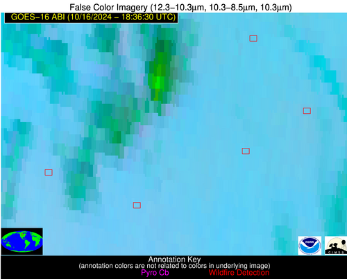
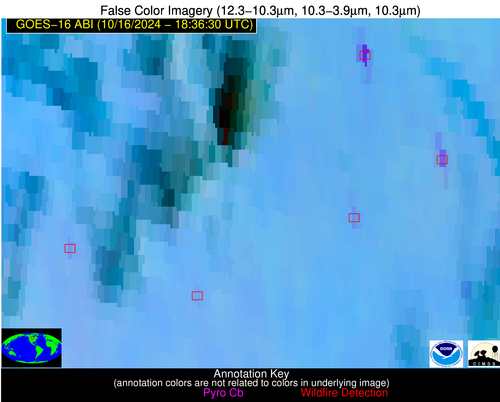
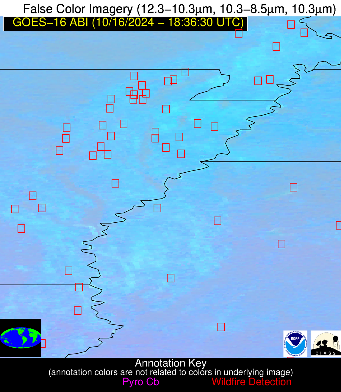
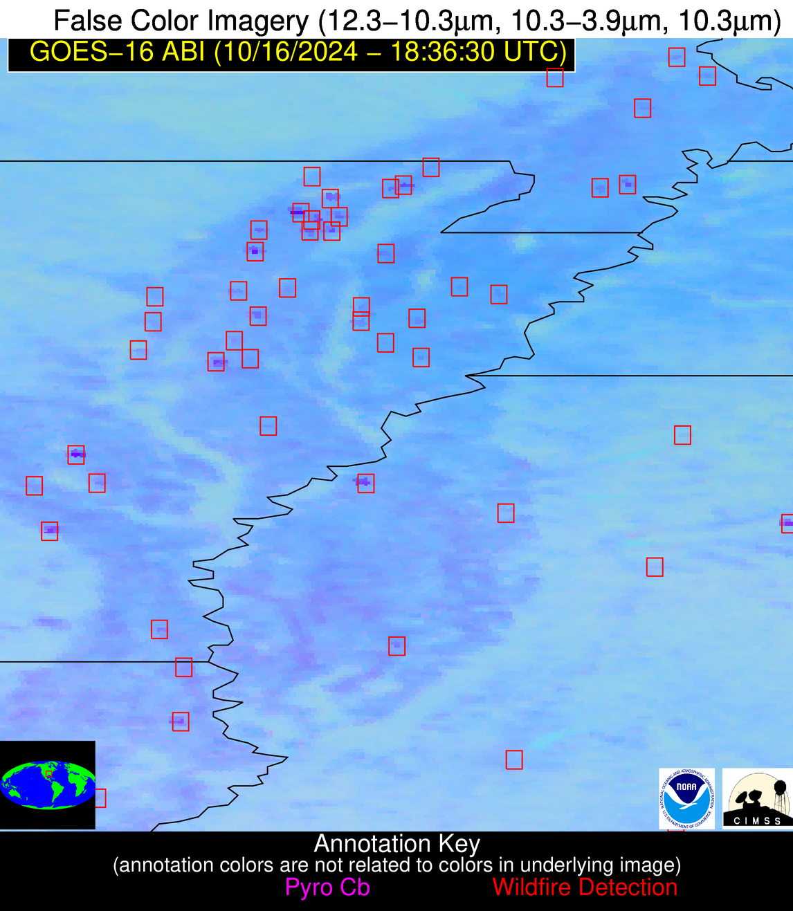
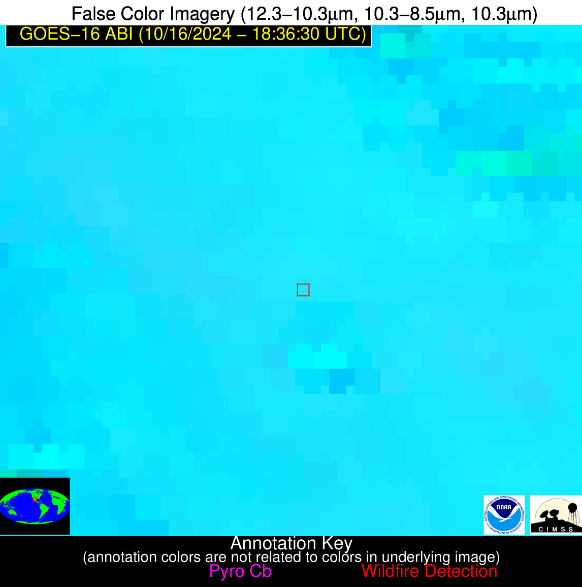
Please consider accessing NGFS detections and satellite imagery through the NOAA/NESDIS Wildland Fire Data Portal: https://fire.data.nesdis.noaa.gov/map/
Wildfire Alert Report
| Date: | 2024-10-16 |
|---|---|
| Time: | 18:36:17 |
| Production Date and Time: | 2024-10-16 18:41:02 UTC |
| Primary Instrument: | GOES-16 ABI |
| Wmo Spacecraft Id: | 152 |
| Location/orbit: | GEO |
| L1 File: | OR_ABI-L1b-RadC-M6C14_G16_s20242901836171_e20242901838544_c20242901839009.nc |
| L1 File(s) - Temporal | OR_ABI-L1b-RadC-M6C14_G16_s20242901831171_e20242901833544_c20242901834039.nc |
| Number Of Thermal Anomaly Alerts: | 13 |
Possible Wildfire
| Basic Information | |
|---|---|
| State/Province(s) | Manitoba |
| Country/Countries | Canada |
| County/Locality(s) | Division No. 15, Manitoba |
| NWS WFO | N/A |
| Identification Method | Enhanced Contextual (Cloud) |
| Mean Object Date/Time | 2024-10-16 18:36:20UTC |
| Radiative Center (Lat, Lon): | 50.210000°, -99.820000° |
| Nearby Counties (meeting alert criteria): |
|
| Total Radiative Power Anomaly | n/a |
| Total Radiative Power | 52.89 MW |
| Map: | |
| Additional Information | |
| Alert Status | New Feature |
| Type of Event | Nominal Risk |
| Event Priority Ranking | 4 |
| Maximum Observed BT (3.9 um) | 305.32 K |
| Observed - Background BT (3.9 um) | 10.14 K |
| BT Anomaly (3.9 um) | 10.79 K |
| Maximum Observed - Clear RTM BT (3.9 um) | 17.66 K |
| Maximum Observed BTD (3.9-10/11/12 um) | 18.49 K |
| Observed - Background BTD (3.9-10/11/12 um) | 9.99 K |
| BTD Anomaly (3.9-10/11/12 um) | 10.40 K |
| Similar Pixel Count | 0 |
| BT Time Tendency (3.9 um) | 11.00 K |
| Image Interval | 5.00 minutes |
| Fraction of Surrounding LWIR Pixels that are Colder | 0.60 |
| Fraction of Surrounding Red Channel Pixels that are Brighter | 1.00 |
| Maximum Radiative Power | 52.89 MW |
| Maximum Radiative Power Uncertainty | 0.00 MW |
| Total Radiative Power Uncertainty | 0.00 MW |
| Mean Viewing Angle | 62.50° |
| Mean Solar Zenith Angle | 59.40° |
| Mean Glint Angle | 113.30° |
| Water Fraction | 0.00 |
| Total Pixel Area | 11.30 km2 |
| Latest Satellite Imagery: | |
| View all event imagery » | |
Possible Wildfire
| Basic Information | |
|---|---|
| State/Province(s) | Manitoba |
| Country/Countries | Canada |
| County/Locality(s) | Division No. 15, Manitoba |
| NWS WFO | N/A |
| Identification Method | Enhanced Contextual (Clear) |
| Mean Object Date/Time | 2024-10-16 18:36:20UTC |
| Radiative Center (Lat, Lon): | 50.110000°, -100.370000° |
| Nearby Counties (meeting alert criteria): |
|
| Total Radiative Power Anomaly | n/a |
| Total Radiative Power | 19.01 MW |
| Map: | |
| Additional Information | |
| Alert Status | New Feature |
| Type of Event | Nominal Risk |
| Event Priority Ranking | 4 |
| Maximum Observed BT (3.9 um) | 300.00 K |
| Observed - Background BT (3.9 um) | 4.16 K |
| BT Anomaly (3.9 um) | 4.65 K |
| Maximum Observed - Clear RTM BT (3.9 um) | 12.18 K |
| Maximum Observed BTD (3.9-10/11/12 um) | 12.40 K |
| Observed - Background BTD (3.9-10/11/12 um) | 4.18 K |
| BTD Anomaly (3.9-10/11/12 um) | 6.90 K |
| Similar Pixel Count | 16 |
| BT Time Tendency (3.9 um) | 4.50 K |
| Image Interval | 5.00 minutes |
| Fraction of Surrounding LWIR Pixels that are Colder | 0.56 |
| Fraction of Surrounding Red Channel Pixels that are Brighter | 1.00 |
| Maximum Radiative Power | 19.01 MW |
| Maximum Radiative Power Uncertainty | 0.00 MW |
| Total Radiative Power Uncertainty | 0.00 MW |
| Mean Viewing Angle | 62.60° |
| Mean Solar Zenith Angle | 59.30° |
| Mean Glint Angle | 113.30° |
| Water Fraction | 0.00 |
| Total Pixel Area | 11.40 km2 |
| Latest Satellite Imagery: | |
| View all event imagery » | |
Possible Wildfire
| Basic Information | |
|---|---|
| State/Province(s) | Saskatchewan |
| Country/Countries | Canada |
| County/Locality(s) | Division No. 1, Saskatchewan |
| NWS WFO | N/A |
| Identification Method | Enhanced Contextual (Clear) |
| Mean Object Date/Time | 2024-10-16 18:36:20UTC |
| Radiative Center (Lat, Lon): | 50.040000°, -102.130000° |
| Nearby Counties (meeting alert criteria): |
|
| Total Radiative Power Anomaly | n/a |
| Total Radiative Power | 18.07 MW |
| Map: | |
| Additional Information | |
| Alert Status | New Feature |
| Type of Event | Nominal Risk |
| Event Priority Ranking | 4 |
| Maximum Observed BT (3.9 um) | 300.63 K |
| Observed - Background BT (3.9 um) | 3.94 K |
| BT Anomaly (3.9 um) | 3.07 K |
| Maximum Observed - Clear RTM BT (3.9 um) | 10.18 K |
| Maximum Observed BTD (3.9-10/11/12 um) | 11.43 K |
| Observed - Background BTD (3.9-10/11/12 um) | 3.89 K |
| BTD Anomaly (3.9-10/11/12 um) | 5.31 K |
| Similar Pixel Count | 16 |
| BT Time Tendency (3.9 um) | 3.10 K |
| Image Interval | 5.00 minutes |
| Fraction of Surrounding LWIR Pixels that are Colder | 0.65 |
| Fraction of Surrounding Red Channel Pixels that are Brighter | 1.00 |
| Maximum Radiative Power | 18.07 MW |
| Maximum Radiative Power Uncertainty | 0.00 MW |
| Total Radiative Power Uncertainty | 0.00 MW |
| Mean Viewing Angle | 63.20° |
| Mean Solar Zenith Angle | 59.20° |
| Mean Glint Angle | 113.70° |
| Water Fraction | 0.00 |
| Total Pixel Area | 11.90 km2 |
| Latest Satellite Imagery: | |
| View all event imagery » | |
Possible Wildfire
| Basic Information | |
|---|---|
| State/Province(s) | KS |
| Country/Countries | USA |
| County/Locality(s) | Saline County, KS |
| NWS WFO | Wichita KS |
| Identification Method | Enhanced Contextual (Clear) |
| Mean Object Date/Time | 2024-10-16 18:36:50UTC |
| Radiative Center (Lat, Lon): | 38.730000°, -97.740000° |
| Nearby Counties (meeting alert criteria): |
|
| Total Radiative Power Anomaly | n/a |
| Total Radiative Power | 7.10 MW |
| Map: | |
| Additional Information | |
| Alert Status | New Feature |
| Type of Event | Elevated SPC Risk |
| Event Priority Ranking | 3 |
| Maximum Observed BT (3.9 um) | 304.75 K |
| Observed - Background BT (3.9 um) | 3.66 K |
| BT Anomaly (3.9 um) | 2.37 K |
| Maximum Observed - Clear RTM BT (3.9 um) | 14.37 K |
| Maximum Observed BTD (3.9-10/11/12 um) | 9.63 K |
| Observed - Background BTD (3.9-10/11/12 um) | 2.86 K |
| BTD Anomaly (3.9-10/11/12 um) | 3.25 K |
| Similar Pixel Count | 23 |
| BT Time Tendency (3.9 um) | 0.90 K |
| Image Interval | 5.00 minutes |
| Fraction of Surrounding LWIR Pixels that are Colder | 0.85 |
| Fraction of Surrounding Red Channel Pixels that are Brighter | 0.96 |
| Maximum Radiative Power | 7.10 MW |
| Maximum Radiative Power Uncertainty | 0.00 MW |
| Total Radiative Power Uncertainty | 0.00 MW |
| Mean Viewing Angle | 50.90° |
| Mean Solar Zenith Angle | 48.10° |
| Mean Glint Angle | 91.10° |
| Water Fraction | 0.00 |
| Total Pixel Area | 7.50 km2 |
| Latest Satellite Imagery: | |
| View all event imagery » | |
Possible Wildfire
| Basic Information | |
|---|---|
| State/Province(s) | MO |
| Country/Countries | USA |
| County/Locality(s) | Scott County, MO |
| NWS WFO | Paducah KY |
| Identification Method | Enhanced Contextual (Clear) |
| Mean Object Date/Time | 2024-10-16 18:36:51UTC |
| Radiative Center (Lat, Lon): | 37.090000°, -89.480000° |
| Nearby Counties (meeting alert criteria): |
|
| Total Radiative Power Anomaly | n/a |
| Total Radiative Power | 10.31 MW |
| Map: | |
| Additional Information | |
| Alert Status | New Feature |
| Type of Event | Nominal Risk |
| Event Priority Ranking | 4 |
| Maximum Observed BT (3.9 um) | 305.75 K |
| Observed - Background BT (3.9 um) | 3.59 K |
| BT Anomaly (3.9 um) | 2.30 K |
| Maximum Observed - Clear RTM BT (3.9 um) | 19.08 K |
| Maximum Observed BTD (3.9-10/11/12 um) | 11.97 K |
| Observed - Background BTD (3.9-10/11/12 um) | 3.26 K |
| BTD Anomaly (3.9-10/11/12 um) | 4.49 K |
| Similar Pixel Count | 19 |
| BT Time Tendency (3.9 um) | 2.10 K |
| Image Interval | 5.00 minutes |
| Fraction of Surrounding LWIR Pixels that are Colder | 0.73 |
| Fraction of Surrounding Red Channel Pixels that are Brighter | 0.82 |
| Maximum Radiative Power | 10.31 MW |
| Maximum Radiative Power Uncertainty | 0.00 MW |
| Total Radiative Power Uncertainty | 0.00 MW |
| Mean Viewing Angle | 45.80° |
| Mean Solar Zenith Angle | 47.90° |
| Mean Glint Angle | 86.30° |
| Water Fraction | 0.00 |
| Total Pixel Area | 6.40 km2 |
| Latest Satellite Imagery: | |
| View all event imagery » | |
Possible Wildfire
| Basic Information | |
|---|---|
| State/Province(s) | KS |
| Country/Countries | USA |
| County/Locality(s) | Comanche County, KS |
| NWS WFO | Dodge City KS |
| Identification Method | Enhanced Contextual (Clear) |
| Mean Object Date/Time | 2024-10-16 18:36:50UTC |
| Radiative Center (Lat, Lon): | 37.200000°, -99.530000° |
| Nearby Counties (meeting alert criteria): |
|
| Total Radiative Power Anomaly | n/a |
| Total Radiative Power | 5.39 MW |
| Map: | |
| Additional Information | |
| Alert Status | New Feature |
| Type of Event | Elevated SPC Risk |
| Event Priority Ranking | 3 |
| Maximum Observed BT (3.9 um) | 304.86 K |
| Observed - Background BT (3.9 um) | 3.94 K |
| BT Anomaly (3.9 um) | 2.57 K |
| Maximum Observed - Clear RTM BT (3.9 um) | 14.31 K |
| Maximum Observed BTD (3.9-10/11/12 um) | 9.59 K |
| Observed - Background BTD (3.9-10/11/12 um) | 2.67 K |
| BTD Anomaly (3.9-10/11/12 um) | 2.89 K |
| Similar Pixel Count | 22 |
| BT Time Tendency (3.9 um) | -0.10 K |
| Image Interval | 5.00 minutes |
| Fraction of Surrounding LWIR Pixels that are Colder | 0.94 |
| Fraction of Surrounding Red Channel Pixels that are Brighter | 1.00 |
| Maximum Radiative Power | 5.39 MW |
| Maximum Radiative Power Uncertainty | 0.00 MW |
| Total Radiative Power Uncertainty | 0.00 MW |
| Mean Viewing Angle | 50.40° |
| Mean Solar Zenith Angle | 46.40° |
| Mean Glint Angle | 88.90° |
| Water Fraction | 0.00 |
| Total Pixel Area | 7.50 km2 |
| Latest Satellite Imagery: | |
| View all event imagery » | |
Possible Wildfire
| Basic Information | |
|---|---|
| State/Province(s) | AR |
| Country/Countries | USA |
| County/Locality(s) | Poinsett County, AR |
| NWS WFO | Memphis TN |
| Identification Method | Enhanced Contextual (Clear) |
| Mean Object Date/Time | 2024-10-16 18:37:21UTC |
| Radiative Center (Lat, Lon): | 35.620000°, -90.320000° |
| Nearby Counties (meeting alert criteria): |
|
| Total Radiative Power Anomaly | n/a |
| Total Radiative Power | 5.53 MW |
| Map: | |
| Additional Information | |
| Alert Status | New Feature |
| Type of Event | Nominal Risk |
| Event Priority Ranking | 4 |
| Maximum Observed BT (3.9 um) | 306.16 K |
| Observed - Background BT (3.9 um) | 1.51 K |
| BT Anomaly (3.9 um) | 1.02 K |
| Maximum Observed - Clear RTM BT (3.9 um) | 18.00 K |
| Maximum Observed BTD (3.9-10/11/12 um) | 11.51 K |
| Observed - Background BTD (3.9-10/11/12 um) | 1.74 K |
| BTD Anomaly (3.9-10/11/12 um) | 2.18 K |
| Similar Pixel Count | 25 |
| BT Time Tendency (3.9 um) | 0.70 K |
| Image Interval | 5.00 minutes |
| Fraction of Surrounding LWIR Pixels that are Colder | 0.44 |
| Fraction of Surrounding Red Channel Pixels that are Brighter | 0.94 |
| Maximum Radiative Power | 5.53 MW |
| Maximum Radiative Power Uncertainty | 0.00 MW |
| Total Radiative Power Uncertainty | 0.00 MW |
| Mean Viewing Angle | 44.60° |
| Mean Solar Zenith Angle | 46.20° |
| Mean Glint Angle | 83.30° |
| Water Fraction | 0.00 |
| Total Pixel Area | 6.30 km2 |
| Latest Satellite Imagery: | |
| View all event imagery » | |
Possible Wildfire
| Basic Information | |
|---|---|
| State/Province(s) | AR |
| Country/Countries | USA |
| County/Locality(s) | Poinsett County, AR |
| NWS WFO | Memphis TN |
| Identification Method | Enhanced Contextual (Clear) |
| Mean Object Date/Time | 2024-10-16 18:37:21UTC |
| Radiative Center (Lat, Lon): | 35.480000°, -90.650000° |
| Nearby Counties (meeting alert criteria): |
|
| Total Radiative Power Anomaly | n/a |
| Total Radiative Power | 10.03 MW |
| Map: | |
| Additional Information | |
| Alert Status | New Feature |
| Type of Event | Nominal Risk |
| Event Priority Ranking | 4 |
| Maximum Observed BT (3.9 um) | 306.26 K |
| Observed - Background BT (3.9 um) | 2.97 K |
| BT Anomaly (3.9 um) | 1.48 K |
| Maximum Observed - Clear RTM BT (3.9 um) | 17.82 K |
| Maximum Observed BTD (3.9-10/11/12 um) | 12.30 K |
| Observed - Background BTD (3.9-10/11/12 um) | 3.11 K |
| BTD Anomaly (3.9-10/11/12 um) | 2.86 K |
| Similar Pixel Count | 16 |
| BT Time Tendency (3.9 um) | 0.70 K |
| Image Interval | 5.00 minutes |
| Fraction of Surrounding LWIR Pixels that are Colder | 0.53 |
| Fraction of Surrounding Red Channel Pixels that are Brighter | 0.73 |
| Maximum Radiative Power | 10.03 MW |
| Maximum Radiative Power Uncertainty | 0.00 MW |
| Total Radiative Power Uncertainty | 0.00 MW |
| Mean Viewing Angle | 44.60° |
| Mean Solar Zenith Angle | 46.00° |
| Mean Glint Angle | 83.10° |
| Water Fraction | 0.00 |
| Total Pixel Area | 6.30 km2 |
| Latest Satellite Imagery: | |
| View all event imagery » | |
Possible Wildfire
| Basic Information | |
|---|---|
| State/Province(s) | AR |
| Country/Countries | USA |
| County/Locality(s) | Cross County, AR |
| NWS WFO | Memphis TN |
| Identification Method | Enhanced Contextual (Clear) |
| Mean Object Date/Time | 2024-10-16 18:37:21UTC |
| Radiative Center (Lat, Lon): | 35.380000°, -90.650000° |
| Nearby Counties (meeting alert criteria): |
|
| Total Radiative Power Anomaly | n/a |
| Total Radiative Power | 14.77 MW |
| Map: | |
| Additional Information | |
| Alert Status | New Feature |
| Type of Event | Nominal Risk |
| Event Priority Ranking | 4 |
| Maximum Observed BT (3.9 um) | 305.78 K |
| Observed - Background BT (3.9 um) | 3.65 K |
| BT Anomaly (3.9 um) | 1.79 K |
| Maximum Observed - Clear RTM BT (3.9 um) | 17.24 K |
| Maximum Observed BTD (3.9-10/11/12 um) | 13.14 K |
| Observed - Background BTD (3.9-10/11/12 um) | 4.35 K |
| BTD Anomaly (3.9-10/11/12 um) | 4.49 K |
| Similar Pixel Count | 8 |
| BT Time Tendency (3.9 um) | 3.10 K |
| Image Interval | 5.00 minutes |
| Fraction of Surrounding LWIR Pixels that are Colder | 0.34 |
| Fraction of Surrounding Red Channel Pixels that are Brighter | 0.89 |
| Maximum Radiative Power | 14.77 MW |
| Maximum Radiative Power Uncertainty | 0.00 MW |
| Total Radiative Power Uncertainty | 0.00 MW |
| Mean Viewing Angle | 44.50° |
| Mean Solar Zenith Angle | 45.90° |
| Mean Glint Angle | 82.90° |
| Water Fraction | 0.00 |
| Total Pixel Area | 6.30 km2 |
| Latest Satellite Imagery: | |
| View all event imagery » | |
Possible Wildfire
| Basic Information | |
|---|---|
| State/Province(s) | AR |
| Country/Countries | USA |
| County/Locality(s) | Lee County, AR |
| NWS WFO | Memphis TN |
| Identification Method | Enhanced Contextual (Clear) |
| Mean Object Date/Time | 2024-10-16 18:37:21UTC |
| Radiative Center (Lat, Lon): | 34.650000°, -90.960000° |
| Nearby Counties (meeting alert criteria): |
|
| Total Radiative Power Anomaly | n/a |
| Total Radiative Power | 9.06 MW |
| Map: | |
| Additional Information | |
| Alert Status | New Feature |
| Type of Event | Nominal Risk |
| Event Priority Ranking | 4 |
| Maximum Observed BT (3.9 um) | 305.36 K |
| Observed - Background BT (3.9 um) | 2.78 K |
| BT Anomaly (3.9 um) | 1.67 K |
| Maximum Observed - Clear RTM BT (3.9 um) | 15.79 K |
| Maximum Observed BTD (3.9-10/11/12 um) | 11.65 K |
| Observed - Background BTD (3.9-10/11/12 um) | 3.04 K |
| BTD Anomaly (3.9-10/11/12 um) | 4.07 K |
| Similar Pixel Count | 21 |
| BT Time Tendency (3.9 um) | 1.30 K |
| Image Interval | 5.00 minutes |
| Fraction of Surrounding LWIR Pixels that are Colder | 0.41 |
| Fraction of Surrounding Red Channel Pixels that are Brighter | 1.00 |
| Maximum Radiative Power | 9.06 MW |
| Maximum Radiative Power Uncertainty | 0.00 MW |
| Total Radiative Power Uncertainty | 0.00 MW |
| Mean Viewing Angle | 43.80° |
| Mean Solar Zenith Angle | 45.20° |
| Mean Glint Angle | 81.40° |
| Water Fraction | 0.00 |
| Total Pixel Area | 6.20 km2 |
| Latest Satellite Imagery: | |
| View all event imagery » | |
Possible Wildfire
| Basic Information | |
|---|---|
| State/Province(s) | AR |
| Country/Countries | USA |
| County/Locality(s) | Arkansas County, AR |
| NWS WFO | Little Rock AR |
| Identification Method | Enhanced Contextual (Clear) |
| Mean Object Date/Time | 2024-10-16 18:37:21UTC |
| Radiative Center (Lat, Lon): | 34.250000°, -91.540000° |
| Nearby Counties (meeting alert criteria): |
|
| Total Radiative Power Anomaly | n/a |
| Total Radiative Power | 27.64 MW |
| Map: | |
| Additional Information | |
| Alert Status | New Feature |
| Type of Event | Nominal Risk |
| Event Priority Ranking | 4 |
| Maximum Observed BT (3.9 um) | 309.42 K |
| Observed - Background BT (3.9 um) | 7.55 K |
| BT Anomaly (3.9 um) | 3.41 K |
| Maximum Observed - Clear RTM BT (3.9 um) | 15.37 K |
| Maximum Observed BTD (3.9-10/11/12 um) | 13.20 K |
| Observed - Background BTD (3.9-10/11/12 um) | 5.09 K |
| BTD Anomaly (3.9-10/11/12 um) | 4.26 K |
| Similar Pixel Count | 11 |
| BT Time Tendency (3.9 um) | 5.10 K |
| Image Interval | 5.00 minutes |
| Fraction of Surrounding LWIR Pixels that are Colder | 0.38 |
| Fraction of Surrounding Red Channel Pixels that are Brighter | 0.92 |
| Maximum Radiative Power | 27.64 MW |
| Maximum Radiative Power Uncertainty | 0.00 MW |
| Total Radiative Power Uncertainty | 0.00 MW |
| Mean Viewing Angle | 43.70° |
| Mean Solar Zenith Angle | 44.60° |
| Mean Glint Angle | 80.70° |
| Water Fraction | 0.00 |
| Total Pixel Area | 12.40 km2 |
| Latest Satellite Imagery: | |
| View all event imagery » | |
Possible Wildfire
| Basic Information | |
|---|---|
| State/Province(s) | LA |
| Country/Countries | USA |
| County/Locality(s) | Franklin Parish, LA |
| NWS WFO | Jackson MS |
| Identification Method | Enhanced Contextual (Clear) |
| Mean Object Date/Time | 2024-10-16 18:37:20UTC |
| Radiative Center (Lat, Lon): | 32.050000°, -91.540000° |
| Nearby Counties (meeting alert criteria): |
|
| Total Radiative Power Anomaly | n/a |
| Total Radiative Power | 7.79 MW |
| Map: | |
| Additional Information | |
| Alert Status | New Feature |
| Type of Event | Nominal Risk |
| Event Priority Ranking | 4 |
| Maximum Observed BT (3.9 um) | 309.73 K |
| Observed - Background BT (3.9 um) | 3.99 K |
| BT Anomaly (3.9 um) | 2.57 K |
| Maximum Observed - Clear RTM BT (3.9 um) | 17.59 K |
| Maximum Observed BTD (3.9-10/11/12 um) | 10.55 K |
| Observed - Background BTD (3.9-10/11/12 um) | 2.43 K |
| BTD Anomaly (3.9-10/11/12 um) | 1.68 K |
| Similar Pixel Count | 14 |
| BT Time Tendency (3.9 um) | 2.50 K |
| Image Interval | 5.00 minutes |
| Fraction of Surrounding LWIR Pixels that are Colder | 1.00 |
| Fraction of Surrounding Red Channel Pixels that are Brighter | 0.83 |
| Maximum Radiative Power | 7.79 MW |
| Maximum Radiative Power Uncertainty | 0.00 MW |
| Total Radiative Power Uncertainty | 0.00 MW |
| Mean Viewing Angle | 41.50° |
| Mean Solar Zenith Angle | 42.50° |
| Mean Glint Angle | 76.20° |
| Water Fraction | 0.00 |
| Total Pixel Area | 5.90 km2 |
| Latest Satellite Imagery: | |
| View all event imagery » | |
Possible Wildfire
| Basic Information | |
|---|---|
| State/Province(s) | Chihuahua |
| Country/Countries | Mexico |
| County/Locality(s) | Dr. Belisario Domínguez, Chihuahua |
| NWS WFO | N/A |
| Identification Method | Enhanced Contextual (Clear) |
| Mean Object Date/Time | 2024-10-16 18:37:49UTC |
| Radiative Center (Lat, Lon): | 28.080000°, -106.530000° |
| Nearby Counties (meeting alert criteria): |
|
| Total Radiative Power Anomaly | n/a |
| Total Radiative Power | 10.89 MW |
| Map: | |
| Additional Information | |
| Alert Status | New Feature |
| Type of Event | Nominal Risk |
| Event Priority Ranking | 4 |
| Maximum Observed BT (3.9 um) | 313.88 K |
| Observed - Background BT (3.9 um) | 1.92 K |
| BT Anomaly (3.9 um) | 1.33 K |
| Maximum Observed - Clear RTM BT (3.9 um) | 13.20 K |
| Maximum Observed BTD (3.9-10/11/12 um) | 13.41 K |
| Observed - Background BTD (3.9-10/11/12 um) | 2.28 K |
| BTD Anomaly (3.9-10/11/12 um) | 4.13 K |
| Similar Pixel Count | 25 |
| BT Time Tendency (3.9 um) | 1.80 K |
| Image Interval | 5.00 minutes |
| Fraction of Surrounding LWIR Pixels that are Colder | 0.34 |
| Fraction of Surrounding Red Channel Pixels that are Brighter | 0.89 |
| Maximum Radiative Power | 10.89 MW |
| Maximum Radiative Power Uncertainty | 0.00 MW |
| Total Radiative Power Uncertainty | 0.00 MW |
| Mean Viewing Angle | 47.70° |
| Mean Solar Zenith Angle | 37.40° |
| Mean Glint Angle | 77.10° |
| Water Fraction | 0.00 |
| Total Pixel Area | 7.10 km2 |
| Latest Satellite Imagery: | |
| View all event imagery » | |
