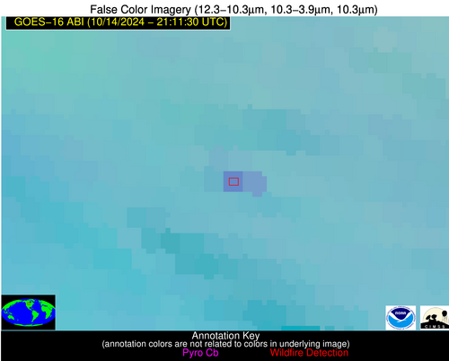
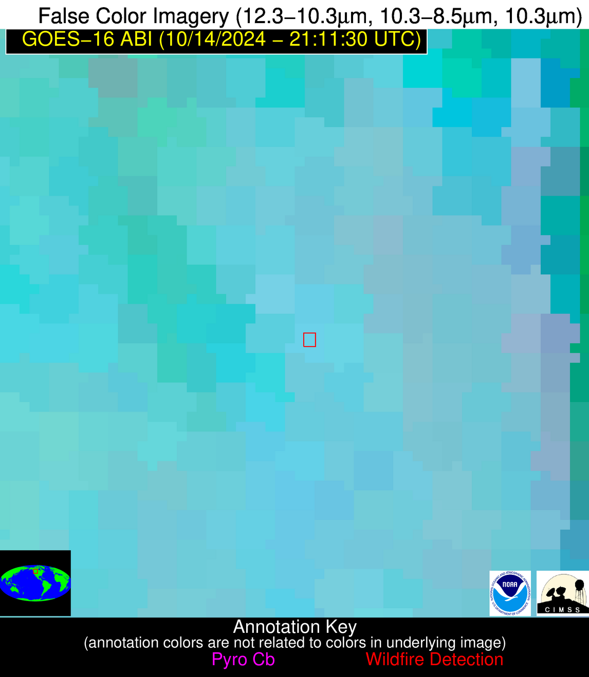
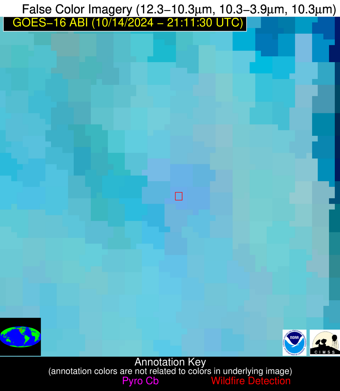
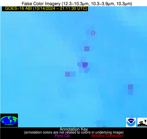
Jan 2026: Due to an ongoing data center cooling system construction project, NGFS data outages may occur with little or no notice. Bitterly cold air in Madison Jan 22-24 increases risk of outages.
Wildfire Alert Report
| Date: | 2024-10-14 |
|---|---|
| Time: | 21:11:17 |
| Production Date and Time: | 2024-10-14 21:15:56 UTC |
| Primary Instrument: | GOES-16 ABI |
| Wmo Spacecraft Id: | 152 |
| Location/orbit: | GEO |
| L1 File: | OR_ABI-L1b-RadC-M6C14_G16_s20242882111170_e20242882113543_c20242882114031.nc |
| L1 File(s) - Temporal | OR_ABI-L1b-RadC-M6C14_G16_s20242882106170_e20242882108543_c20242882109033.nc |
| Number Of Thermal Anomaly Alerts: | 8 |
Possible Wildfire
| Basic Information | |
|---|---|
| State/Province(s) | Saskatchewan |
| Country/Countries | Canada |
| County/Locality(s) | Division No. 1, Saskatchewan |
| NWS WFO | N/A |
| Identification Method | Enhanced Contextual (Clear) |
| Mean Object Date/Time | 2024-10-14 21:11:20UTC |
| Radiative Center (Lat, Lon): | 49.570000°, -101.920000° |
| Nearby Counties (meeting alert criteria): |
|
| Total Radiative Power Anomaly | n/a |
| Total Radiative Power | 25.04 MW |
| Map: | |
| Additional Information | |
| Alert Status | New Feature |
| Type of Event | Nominal Risk |
| Event Priority Ranking | 4 |
| Maximum Observed BT (3.9 um) | 293.80 K |
| Observed - Background BT (3.9 um) | 7.36 K |
| BT Anomaly (3.9 um) | 6.25 K |
| Maximum Observed - Clear RTM BT (3.9 um) | 14.20 K |
| Maximum Observed BTD (3.9-10/11/12 um) | 13.66 K |
| Observed - Background BTD (3.9-10/11/12 um) | 7.47 K |
| BTD Anomaly (3.9-10/11/12 um) | 8.28 K |
| Similar Pixel Count | 2 |
| BT Time Tendency (3.9 um) | 6.00 K |
| Image Interval | 5.00 minutes |
| Fraction of Surrounding LWIR Pixels that are Colder | 0.40 |
| Fraction of Surrounding Red Channel Pixels that are Brighter | 0.92 |
| Maximum Radiative Power | 25.04 MW |
| Maximum Radiative Power Uncertainty | 0.00 MW |
| Total Radiative Power Uncertainty | 0.00 MW |
| Mean Viewing Angle | 62.70° |
| Mean Solar Zenith Angle | 67.40° |
| Mean Glint Angle | 90.90° |
| Water Fraction | 0.00 |
| Total Pixel Area | 11.70 km2 |
| Latest Satellite Imagery: | |
| View all event imagery » | |
Possible Wildfire
| Basic Information | |
|---|---|
| State/Province(s) | British Columbia |
| Country/Countries | Canada |
| County/Locality(s) | East Kootenay, British Columbia |
| NWS WFO | N/A |
| Identification Method | Enhanced Contextual (Clear) |
| Mean Object Date/Time | 2024-10-14 21:11:19UTC |
| Radiative Center (Lat, Lon): | 50.190000°, -114.860000° |
| Nearby Counties (meeting alert criteria): |
|
| Total Radiative Power Anomaly | n/a |
| Total Radiative Power | 18.32 MW |
| Map: | |
| Additional Information | |
| Alert Status | New Feature |
| Type of Event | Nominal Risk |
| Event Priority Ranking | 4 |
| Maximum Observed BT (3.9 um) | 295.03 K |
| Observed - Background BT (3.9 um) | 4.75 K |
| BT Anomaly (3.9 um) | 5.36 K |
| Maximum Observed - Clear RTM BT (3.9 um) | 11.66 K |
| Maximum Observed BTD (3.9-10/11/12 um) | 8.43 K |
| Observed - Background BTD (3.9-10/11/12 um) | 3.36 K |
| BTD Anomaly (3.9-10/11/12 um) | 4.70 K |
| Similar Pixel Count | 17 |
| BT Time Tendency (3.9 um) | 0.10 K |
| Image Interval | 5.00 minutes |
| Fraction of Surrounding LWIR Pixels that are Colder | 1.00 |
| Fraction of Surrounding Red Channel Pixels that are Brighter | 1.00 |
| Maximum Radiative Power | 18.32 MW |
| Maximum Radiative Power Uncertainty | 0.00 MW |
| Total Radiative Power Uncertainty | 0.00 MW |
| Mean Viewing Angle | 69.10° |
| Mean Solar Zenith Angle | 63.00° |
| Mean Glint Angle | 91.50° |
| Water Fraction | 0.00 |
| Total Pixel Area | 18.70 km2 |
| Latest Satellite Imagery: | |
| View all event imagery » | |
Possible Wildfire
| Basic Information | |
|---|---|
| State/Province(s) | AR |
| Country/Countries | USA |
| County/Locality(s) | Lincoln County, AR |
| NWS WFO | Little Rock AR |
| Identification Method | Enhanced Contextual (Clear) |
| Mean Object Date/Time | 2024-10-14 21:12:20UTC |
| Radiative Center (Lat, Lon): | 33.790000°, -91.600000° |
| Nearby Counties (meeting alert criteria): |
|
| Total Radiative Power Anomaly | n/a |
| Total Radiative Power | 42.00 MW |
| Map: | |
| Additional Information | |
| Alert Status | New Feature |
| Type of Event | Nominal Risk |
| Event Priority Ranking | 4 |
| Maximum Observed BT (3.9 um) | 310.60 K |
| Observed - Background BT (3.9 um) | 13.03 K |
| BT Anomaly (3.9 um) | 5.11 K |
| Maximum Observed - Clear RTM BT (3.9 um) | 19.16 K |
| Maximum Observed BTD (3.9-10/11/12 um) | 19.08 K |
| Observed - Background BTD (3.9-10/11/12 um) | 12.72 K |
| BTD Anomaly (3.9-10/11/12 um) | 9.44 K |
| Similar Pixel Count | 1 |
| BT Time Tendency (3.9 um) | 10.20 K |
| Image Interval | 5.00 minutes |
| Fraction of Surrounding LWIR Pixels that are Colder | 0.47 |
| Fraction of Surrounding Red Channel Pixels that are Brighter | 0.71 |
| Maximum Radiative Power | 42.00 MW |
| Maximum Radiative Power Uncertainty | 0.00 MW |
| Total Radiative Power Uncertainty | 0.00 MW |
| Mean Viewing Angle | 43.30° |
| Mean Solar Zenith Angle | 63.30° |
| Mean Glint Angle | 73.60° |
| Water Fraction | 0.00 |
| Total Pixel Area | 6.10 km2 |
| Latest Satellite Imagery: | |
| View all event imagery » | |
Possible Wildfire
| Basic Information | |
|---|---|
| State/Province(s) | MS |
| Country/Countries | USA |
| County/Locality(s) | Monroe County, MS |
| NWS WFO | Memphis TN |
| Identification Method | Enhanced Contextual (Clear) |
| Mean Object Date/Time | 2024-10-14 21:12:21UTC |
| Radiative Center (Lat, Lon): | 33.730000°, -88.430000° |
| Nearby Counties (meeting alert criteria): |
|
| Total Radiative Power Anomaly | n/a |
| Total Radiative Power | 45.37 MW |
| Map: | |
| Additional Information | |
| Alert Status | New Feature |
| Type of Event | Nominal Risk |
| Event Priority Ranking | 4 |
| Maximum Observed BT (3.9 um) | 302.59 K |
| Observed - Background BT (3.9 um) | 9.13 K |
| BT Anomaly (3.9 um) | 8.09 K |
| Maximum Observed - Clear RTM BT (3.9 um) | 13.86 K |
| Maximum Observed BTD (3.9-10/11/12 um) | 12.25 K |
| Observed - Background BTD (3.9-10/11/12 um) | 8.15 K |
| BTD Anomaly (3.9-10/11/12 um) | 18.58 K |
| Similar Pixel Count | 3 |
| BT Time Tendency (3.9 um) | 6.30 K |
| Image Interval | 5.00 minutes |
| Fraction of Surrounding LWIR Pixels that are Colder | 0.90 |
| Fraction of Surrounding Red Channel Pixels that are Brighter | 1.00 |
| Maximum Radiative Power | 45.37 MW |
| Maximum Radiative Power Uncertainty | 0.00 MW |
| Total Radiative Power Uncertainty | 0.00 MW |
| Mean Viewing Angle | 41.90° |
| Mean Solar Zenith Angle | 65.50° |
| Mean Glint Angle | 76.30° |
| Water Fraction | 0.00 |
| Total Pixel Area | 17.80 km2 |
| Latest Satellite Imagery: | |
| View all event imagery » | |
Possible Wildfire
| Basic Information | |
|---|---|
| State/Province(s) | AR |
| Country/Countries | USA |
| County/Locality(s) | Drew County, AR |
| NWS WFO | Little Rock AR |
| Identification Method | Enhanced Contextual (Clear) |
| Mean Object Date/Time | 2024-10-14 21:12:20UTC |
| Radiative Center (Lat, Lon): | 33.740000°, -91.690000° |
| Nearby Counties (meeting alert criteria): |
|
| Total Radiative Power Anomaly | n/a |
| Total Radiative Power | 25.12 MW |
| Map: | |
| Additional Information | |
| Alert Status | New Feature |
| Type of Event | Nominal Risk |
| Event Priority Ranking | 4 |
| Maximum Observed BT (3.9 um) | 301.32 K |
| Observed - Background BT (3.9 um) | 5.48 K |
| BT Anomaly (3.9 um) | 2.40 K |
| Maximum Observed - Clear RTM BT (3.9 um) | 9.98 K |
| Maximum Observed BTD (3.9-10/11/12 um) | 11.31 K |
| Observed - Background BTD (3.9-10/11/12 um) | 5.62 K |
| BTD Anomaly (3.9-10/11/12 um) | 3.60 K |
| Similar Pixel Count | 2 |
| BT Time Tendency (3.9 um) | 2.70 K |
| Image Interval | 5.00 minutes |
| Fraction of Surrounding LWIR Pixels that are Colder | 0.58 |
| Fraction of Surrounding Red Channel Pixels that are Brighter | 0.41 |
| Maximum Radiative Power | 14.56 MW |
| Maximum Radiative Power Uncertainty | 0.00 MW |
| Total Radiative Power Uncertainty | 0.00 MW |
| Mean Viewing Angle | 43.20° |
| Mean Solar Zenith Angle | 63.20° |
| Mean Glint Angle | 73.50° |
| Water Fraction | 0.00 |
| Total Pixel Area | 12.30 km2 |
| Latest Satellite Imagery: | |
| View all event imagery » | |
Possible Wildfire
| Basic Information | |
|---|---|
| State/Province(s) | AL |
| Country/Countries | USA |
| County/Locality(s) | Dale County, AL |
| NWS WFO | Tallahassee FL |
| Identification Method | Enhanced Contextual (Clear) |
| Mean Object Date/Time | 2024-10-14 21:12:21UTC |
| Radiative Center (Lat, Lon): | 31.470000°, -85.500000° |
| Nearby Counties (meeting alert criteria): |
|
| Total Radiative Power Anomaly | n/a |
| Total Radiative Power | 7.10 MW |
| Map: | |
| Additional Information | |
| Alert Status | New Feature |
| Type of Event | Nominal Risk |
| Event Priority Ranking | 4 |
| Maximum Observed BT (3.9 um) | 300.59 K |
| Observed - Background BT (3.9 um) | 2.44 K |
| BT Anomaly (3.9 um) | 2.25 K |
| Maximum Observed - Clear RTM BT (3.9 um) | 8.02 K |
| Maximum Observed BTD (3.9-10/11/12 um) | 7.63 K |
| Observed - Background BTD (3.9-10/11/12 um) | 2.70 K |
| BTD Anomaly (3.9-10/11/12 um) | 4.91 K |
| Similar Pixel Count | 12 |
| BT Time Tendency (3.9 um) | 0.70 K |
| Image Interval | 5.00 minutes |
| Fraction of Surrounding LWIR Pixels that are Colder | 0.43 |
| Fraction of Surrounding Red Channel Pixels that are Brighter | 1.00 |
| Maximum Radiative Power | 7.10 MW |
| Maximum Radiative Power Uncertainty | 0.00 MW |
| Total Radiative Power Uncertainty | 0.00 MW |
| Mean Viewing Angle | 38.50° |
| Mean Solar Zenith Angle | 66.60° |
| Mean Glint Angle | 76.40° |
| Water Fraction | 0.00 |
| Total Pixel Area | 5.50 km2 |
| Latest Satellite Imagery: | |
| View all event imagery » | |
Possible Wildfire
| Basic Information | |
|---|---|
| State/Province(s) | Tamaulipas |
| Country/Countries | Mexico |
| County/Locality(s) | Camargo, Tamaulipas |
| NWS WFO | N/A |
| Identification Method | Enhanced Contextual (Clear) |
| Mean Object Date/Time | 2024-10-14 21:12:49UTC |
| Radiative Center (Lat, Lon): | 26.270000°, -98.760000° |
| Nearby Counties (meeting alert criteria): |
|
| Total Radiative Power Anomaly | n/a |
| Total Radiative Power | 13.34 MW |
| Map: | |
| Additional Information | |
| Alert Status | New Feature |
| Type of Event | Nominal Risk |
| Event Priority Ranking | 4 |
| Maximum Observed BT (3.9 um) | 314.25 K |
| Observed - Background BT (3.9 um) | 4.05 K |
| BT Anomaly (3.9 um) | 3.73 K |
| Maximum Observed - Clear RTM BT (3.9 um) | 9.96 K |
| Maximum Observed BTD (3.9-10/11/12 um) | 9.76 K |
| Observed - Background BTD (3.9-10/11/12 um) | 3.27 K |
| BTD Anomaly (3.9-10/11/12 um) | 7.60 K |
| Similar Pixel Count | 18 |
| BT Time Tendency (3.9 um) | 0.70 K |
| Image Interval | 5.00 minutes |
| Fraction of Surrounding LWIR Pixels that are Colder | 0.89 |
| Fraction of Surrounding Red Channel Pixels that are Brighter | 1.00 |
| Maximum Radiative Power | 13.34 MW |
| Maximum Radiative Power Uncertainty | 0.00 MW |
| Total Radiative Power Uncertainty | 0.00 MW |
| Mean Viewing Angle | 40.50° |
| Mean Solar Zenith Angle | 54.00° |
| Mean Glint Angle | 57.10° |
| Water Fraction | 0.00 |
| Total Pixel Area | 5.90 km2 |
| Latest Satellite Imagery: | |
| View all event imagery » | |
Possible Wildfire
| Basic Information | |
|---|---|
| State/Province(s) | Unknown |
| Country/Countries | Dominican Republic |
| County/Locality(s) | Dominican Republic |
| NWS WFO | N/A |
| Identification Method | Enhanced Contextual (Clear) |
| Mean Object Date/Time | 2024-10-14 21:13:54UTC |
| Radiative Center (Lat, Lon): | 18.720000°, -68.490000° |
| Nearby Counties (meeting alert criteria): |
|
| Total Radiative Power Anomaly | n/a |
| Total Radiative Power | 9.82 MW |
| Map: | |
| Additional Information | |
| Alert Status | New Feature |
| Type of Event | Nominal Risk |
| Event Priority Ranking | 4 |
| Maximum Observed BT (3.9 um) | 303.43 K |
| Observed - Background BT (3.9 um) | 3.54 K |
| BT Anomaly (3.9 um) | 7.57 K |
| Maximum Observed - Clear RTM BT (3.9 um) | 3.48 K |
| Maximum Observed BTD (3.9-10/11/12 um) | 12.44 K |
| Observed - Background BTD (3.9-10/11/12 um) | 4.12 K |
| BTD Anomaly (3.9-10/11/12 um) | 4.69 K |
| Similar Pixel Count | 14 |
| BT Time Tendency (3.9 um) | 0.70 K |
| Image Interval | 5.00 minutes |
| Fraction of Surrounding LWIR Pixels that are Colder | 0.52 |
| Fraction of Surrounding Red Channel Pixels that are Brighter | 1.00 |
| Maximum Radiative Power | 9.82 MW |
| Maximum Radiative Power Uncertainty | 0.00 MW |
| Total Radiative Power Uncertainty | 0.00 MW |
| Mean Viewing Angle | 23.40° |
| Mean Solar Zenith Angle | 76.80° |
| Mean Glint Angle | 90.30° |
| Water Fraction | 0.00 |
| Total Pixel Area | 4.50 km2 |
| Latest Satellite Imagery: | |
| View all event imagery » | |

