Wildfire Alert Report
| Date: | 2024-10-08 |
|---|---|
| Time: | 23:36:17 |
| Production Date and Time: | 2024-10-08 23:40:57 UTC |
| Primary Instrument: | GOES-16 ABI |
| Wmo Spacecraft Id: | 152 |
| Location/orbit: | GEO |
| L1 File: | OR_ABI-L1b-RadC-M6C14_G16_s20242822336174_e20242822338547_c20242822339010.nc |
| L1 File(s) - Temporal | OR_ABI-L1b-RadC-M6C14_G16_s20242822331174_e20242822333547_c20242822334043.nc |
| Number Of Thermal Anomaly Alerts: | 5 |
Possible Wildfire
| Basic Information | |
|---|---|
| State/Province(s) | Saskatchewan |
| Country/Countries | Canada |
| County/Locality(s) | Division No. 5, Saskatchewan |
| NWS WFO | N/A |
| Identification Method | Enhanced Contextual (Clear) |
| Mean Object Date/Time | 2024-10-08 23:36:20UTC |
| Radiative Center (Lat, Lon): | 50.160000°, -102.890000° |
| Nearby Counties (meeting alert criteria): |
|
| Total Radiative Power Anomaly | n/a |
| Total Radiative Power | 20.82 MW |
| Map: | |
| Additional Information | |
| Alert Status | New Feature |
| Type of Event | Nominal Risk |
| Event Priority Ranking | 4 |
| Maximum Observed BT (3.9 um) | 290.92 K |
| Observed - Background BT (3.9 um) | 5.76 K |
| BT Anomaly (3.9 um) | 7.27 K |
| Maximum Observed - Clear RTM BT (3.9 um) | 5.25 K |
| Maximum Observed BTD (3.9-10/11/12 um) | 6.90 K |
| Observed - Background BTD (3.9-10/11/12 um) | 6.07 K |
| BTD Anomaly (3.9-10/11/12 um) | 11.70 K |
| Similar Pixel Count | 1 |
| BT Time Tendency (3.9 um) | 1.90 K |
| Image Interval | 5.00 minutes |
| Fraction of Surrounding LWIR Pixels that are Colder | 0.25 |
| Fraction of Surrounding Red Channel Pixels that are Brighter | 0.81 |
| Maximum Radiative Power | 20.82 MW |
| Maximum Radiative Power Uncertainty | 0.00 MW |
| Total Radiative Power Uncertainty | 0.00 MW |
| Mean Viewing Angle | 63.60° |
| Mean Solar Zenith Angle | 84.90° |
| Mean Glint Angle | 71.20° |
| Water Fraction | 0.00 |
| Total Pixel Area | 12.20 km2 |
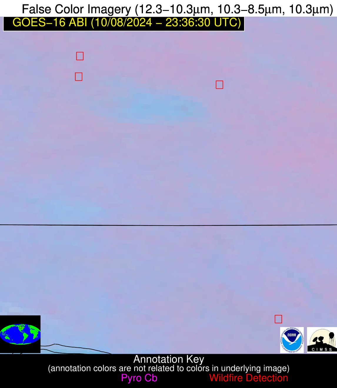
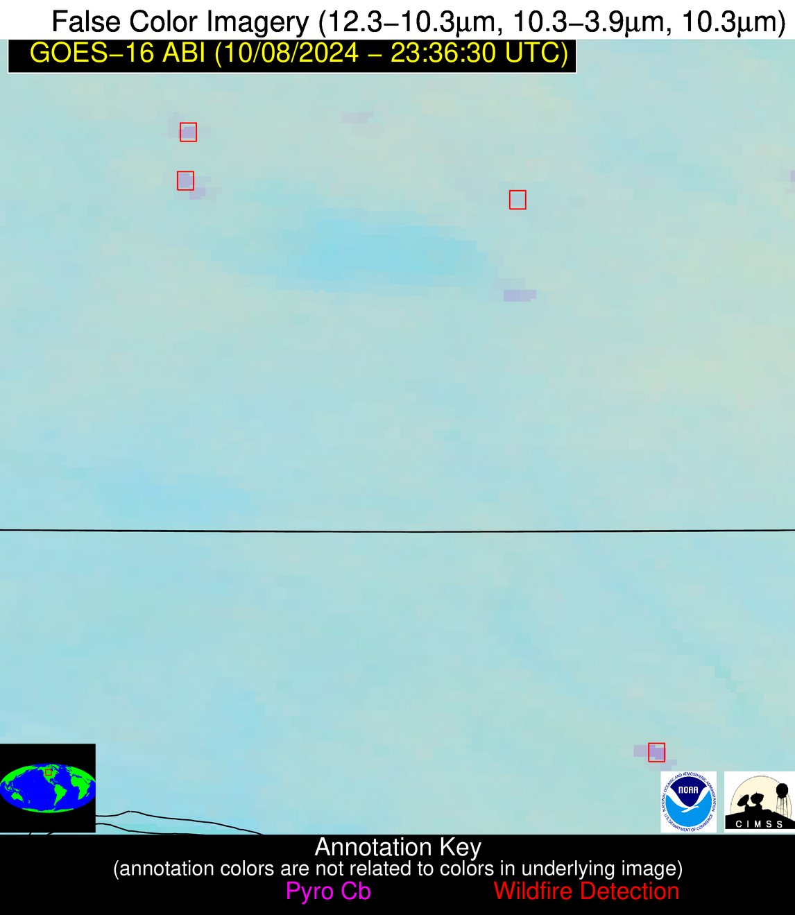
| Latest Satellite Imagery: | |
| View all event imagery » | |
Possible Wildfire
| Basic Information | |
|---|---|
| State/Province(s) | ND |
| Country/Countries | USA |
| County/Locality(s) | Ward County, ND |
| NWS WFO | Bismarck ND |
| Identification Method | Enhanced Contextual (Clear) |
| Mean Object Date/Time | 2024-10-08 23:36:20UTC |
| Radiative Center (Lat, Lon): | 48.360000°, -101.770000° |
| Nearby Counties (meeting alert criteria): |
|
| Total Radiative Power Anomaly | n/a |
| Total Radiative Power | 27.53 MW |
| Map: | |
| Additional Information | |
| Alert Status | New Feature |
| Type of Event | Nominal Risk |
| Event Priority Ranking | 4 |
| Maximum Observed BT (3.9 um) | 293.69 K |
| Observed - Background BT (3.9 um) | 8.28 K |
| BT Anomaly (3.9 um) | 17.42 K |
| Maximum Observed - Clear RTM BT (3.9 um) | 7.02 K |
| Maximum Observed BTD (3.9-10/11/12 um) | 9.30 K |
| Observed - Background BTD (3.9-10/11/12 um) | 8.59 K |
| BTD Anomaly (3.9-10/11/12 um) | 55.96 K |
| Similar Pixel Count | 1 |
| BT Time Tendency (3.9 um) | 1.90 K |
| Image Interval | 5.00 minutes |
| Fraction of Surrounding LWIR Pixels that are Colder | 0.32 |
| Fraction of Surrounding Red Channel Pixels that are Brighter | 1.00 |
| Maximum Radiative Power | 27.53 MW |
| Maximum Radiative Power Uncertainty | 0.00 MW |
| Total Radiative Power Uncertainty | 0.00 MW |
| Mean Viewing Angle | 61.50° |
| Mean Solar Zenith Angle | 85.10° |
| Mean Glint Angle | 71.10° |
| Water Fraction | 0.00 |
| Total Pixel Area | 11.10 km2 |
| Latest Satellite Imagery: | |
| View all event imagery » | |
Possible Wildfire
| Basic Information | |
|---|---|
| State/Province(s) | IN |
| Country/Countries | USA |
| County/Locality(s) | Orange County, IN |
| NWS WFO | Louisville KY |
| Identification Method | Enhanced Contextual (Clear) |
| Mean Object Date/Time | 2024-10-08 23:36:51UTC |
| Radiative Center (Lat, Lon): | 38.670000°, -86.600000° |
| Nearby Counties (meeting alert criteria): |
|
| Total Radiative Power Anomaly | n/a |
| Total Radiative Power | 2.31 MW |
| Map: | |
| Additional Information | |
| Alert Status | New Feature |
| Type of Event | Nominal Risk |
| Event Priority Ranking | 4 |
| Maximum Observed BT (3.9 um) | 286.14 K |
| Observed - Background BT (3.9 um) | 1.78 K |
| BT Anomaly (3.9 um) | 2.87 K |
| Maximum Observed - Clear RTM BT (3.9 um) | 3.69 K |
| Maximum Observed BTD (3.9-10/11/12 um) | 2.70 K |
| Observed - Background BTD (3.9-10/11/12 um) | 1.38 K |
| BTD Anomaly (3.9-10/11/12 um) | 6.33 K |
| Similar Pixel Count | 1 |
| BT Time Tendency (3.9 um) | 0.30 K |
| Image Interval | 5.00 minutes |
| Fraction of Surrounding LWIR Pixels that are Colder | 0.81 |
| Fraction of Surrounding Red Channel Pixels that are Brighter | 1.00 |
| Maximum Radiative Power | 2.31 MW |
| Maximum Radiative Power Uncertainty | 0.00 MW |
| Total Radiative Power Uncertainty | 0.00 MW |
| Mean Viewing Angle | 46.60° |
| Mean Solar Zenith Angle | 94.40° |
| Mean Glint Angle | 83.30° |
| Water Fraction | 0.00 |
| Total Pixel Area | 6.50 km2 |
| Latest Satellite Imagery: | |
| View all event imagery » | |
Possible Wildfire
| Basic Information | |
|---|---|
| State/Province(s) | OH |
| Country/Countries | USA |
| County/Locality(s) | Scioto County, OH |
| NWS WFO | Wilmington OH |
| Identification Method | Enhanced Contextual (Clear) |
| Mean Object Date/Time | 2024-10-08 23:36:52UTC |
| Radiative Center (Lat, Lon): | 38.590000°, -82.830000° |
| Nearby Counties (meeting alert criteria): |
|
| Total Radiative Power Anomaly | n/a |
| Total Radiative Power | 2.29 MW |
| Map: | |
| Additional Information | |
| Alert Status | New Feature |
| Type of Event | Nonmetal-mineral |
| Event Priority Ranking | 5 |
| Maximum Observed BT (3.9 um) | 286.35 K |
| Observed - Background BT (3.9 um) | 2.36 K |
| BT Anomaly (3.9 um) | 3.44 K |
| Maximum Observed - Clear RTM BT (3.9 um) | 5.19 K |
| Maximum Observed BTD (3.9-10/11/12 um) | 2.63 K |
| Observed - Background BTD (3.9-10/11/12 um) | 1.56 K |
| BTD Anomaly (3.9-10/11/12 um) | 6.74 K |
| Similar Pixel Count | 1 |
| BT Time Tendency (3.9 um) | 0.10 K |
| Image Interval | 5.00 minutes |
| Fraction of Surrounding LWIR Pixels that are Colder | 0.92 |
| Fraction of Surrounding Red Channel Pixels that are Brighter | 1.00 |
| Maximum Radiative Power | 2.29 MW |
| Maximum Radiative Power Uncertainty | 0.00 MW |
| Total Radiative Power Uncertainty | 0.00 MW |
| Mean Viewing Angle | 45.60° |
| Mean Solar Zenith Angle | 97.30° |
| Mean Glint Angle | 87.90° |
| Water Fraction | 0.00 |
| Total Pixel Area | 6.30 km2 |
| Latest Satellite Imagery: | |
| View all event imagery » | |
Possible Wildfire
| Basic Information | |
|---|---|
| State/Province(s) | Nuevo León |
| Country/Countries | Mexico |
| County/Locality(s) | China, Nuevo León |
| NWS WFO | N/A |
| Identification Method | Enhanced Contextual (Clear) |
| Mean Object Date/Time | 2024-10-08 23:37:49UTC |
| Radiative Center (Lat, Lon): | 25.540000°, -98.710000° |
| Nearby Counties (meeting alert criteria): |
|
| Total Radiative Power Anomaly | n/a |
| Total Radiative Power | 7.42 MW |
| Map: | |
| Additional Information | |
| Alert Status | New Feature |
| Type of Event | Nominal Risk |
| Event Priority Ranking | 4 |
| Maximum Observed BT (3.9 um) | 301.88 K |
| Observed - Background BT (3.9 um) | 3.03 K |
| BT Anomaly (3.9 um) | 3.82 K |
| Maximum Observed - Clear RTM BT (3.9 um) | 4.51 K |
| Maximum Observed BTD (3.9-10/11/12 um) | 7.70 K |
| Observed - Background BTD (3.9-10/11/12 um) | 2.75 K |
| BTD Anomaly (3.9-10/11/12 um) | 4.87 K |
| Similar Pixel Count | 13 |
| BT Time Tendency (3.9 um) | 0.40 K |
| Image Interval | 5.00 minutes |
| Fraction of Surrounding LWIR Pixels that are Colder | 0.59 |
| Fraction of Surrounding Red Channel Pixels that are Brighter | 1.00 |
| Maximum Radiative Power | 7.42 MW |
| Maximum Radiative Power Uncertainty | 0.00 MW |
| Total Radiative Power Uncertainty | 0.00 MW |
| Mean Viewing Angle | 39.90° |
| Mean Solar Zenith Angle | 82.40° |
| Mean Glint Angle | 62.40° |
| Water Fraction | 0.00 |
| Total Pixel Area | 5.80 km2 |
| Latest Satellite Imagery: | |
| View all event imagery » | |
