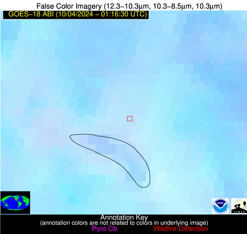
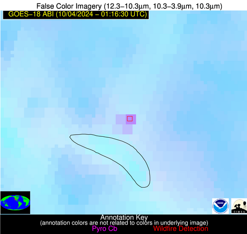
Wildfire Alert Report
| Date: | 2024-10-04 |
|---|---|
| Time: | 01:16:17 |
| Production Date and Time: | 2024-10-04 01:20:51 UTC |
| Primary Instrument: | GOES-18 ABI |
| Wmo Spacecraft Id: | 665 |
| Location/orbit: | GEO |
| L1 File: | OR_ABI-L1b-RadC-M6C14_G18_s20242780116175_e20242780118548_c20242780119045.nc |
| L1 File(s) - Temporal | OR_ABI-L1b-RadC-M6C14_G18_s20242780111175_e20242780113548_c20242780114024.nc |
| Number Of Thermal Anomaly Alerts: | 3 |
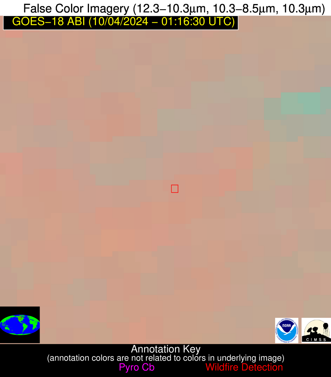
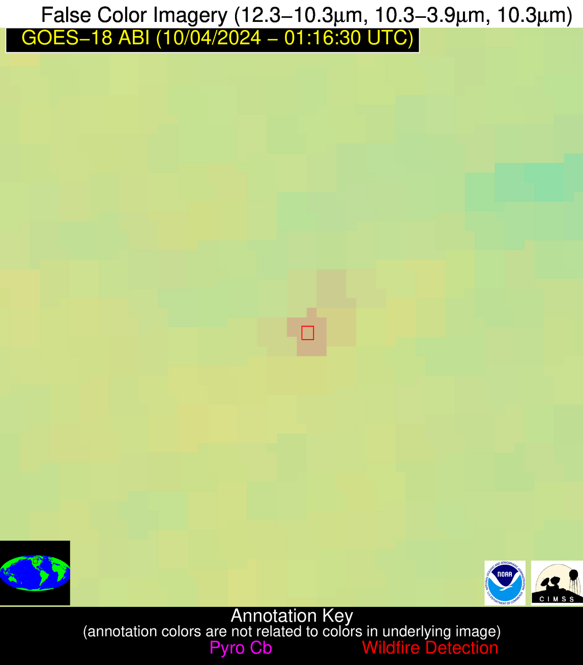
Possible Wildfire
| Basic Information | |
|---|---|
| State/Province(s) | Saskatchewan |
| Country/Countries | Canada |
| County/Locality(s) | Division No. 5, Saskatchewan |
| NWS WFO | N/A |
| Identification Method | Enhanced Contextual (Clear) |
| Mean Object Date/Time | 2024-10-04 01:16:24UTC |
| Radiative Center (Lat, Lon): | 50.480000°, -103.040000° |
| Nearby Counties (meeting alert criteria): |
|
| Total Radiative Power Anomaly | n/a |
| Total Radiative Power | 12.39 MW |
| Map: | |
| Additional Information | |
| Alert Status | New Feature |
| Type of Event | Nominal Risk |
| Event Priority Ranking | 4 |
| Maximum Observed BT (3.9 um) | 275.16 K |
| Observed - Background BT (3.9 um) | 4.75 K |
| BT Anomaly (3.9 um) | 5.38 K |
| Maximum Observed - Clear RTM BT (3.9 um) | -0.53 K |
| Maximum Observed BTD (3.9-10/11/12 um) | 5.04 K |
| Observed - Background BTD (3.9-10/11/12 um) | 5.68 K |
| BTD Anomaly (3.9-10/11/12 um) | 24.79 K |
| Similar Pixel Count | 1 |
| BT Time Tendency (3.9 um) | 4.60 K |
| Image Interval | 5.00 minutes |
| Fraction of Surrounding LWIR Pixels that are Colder | 0.09 |
| Fraction of Surrounding Red Channel Pixels that are Brighter | 1.00 |
| Maximum Radiative Power | 12.39 MW |
| Maximum Radiative Power Uncertainty | 0.00 MW |
| Total Radiative Power Uncertainty | 0.00 MW |
| Mean Viewing Angle | 66.50° |
| Mean Solar Zenith Angle | 99.20° |
| Mean Glint Angle | 127.60° |
| Water Fraction | 0.00 |
| Total Pixel Area | 15.00 km2 |
| Latest Satellite Imagery: | |
| View all event imagery » | |
Possible Wildfire
| Basic Information | |
|---|---|
| State/Province(s) | NE |
| Country/Countries | USA |
| County/Locality(s) | Morrill County, NE |
| NWS WFO | Cheyenne WY |
| Identification Method | Enhanced Contextual (Clear) |
| Mean Object Date/Time | 2024-10-04 01:16:54UTC |
| Radiative Center (Lat, Lon): | 41.950000°, -103.270000° |
| Nearby Counties (meeting alert criteria): |
|
| Total Radiative Power Anomaly | n/a |
| Total Radiative Power | 9.02 MW |
| Map: | |
| Additional Information | |
| Alert Status | New Feature |
| Type of Event | Nominal Risk |
| Event Priority Ranking | 4 |
| Maximum Observed BT (3.9 um) | 281.57 K |
| Observed - Background BT (3.9 um) | 4.09 K |
| BT Anomaly (3.9 um) | 3.45 K |
| Maximum Observed - Clear RTM BT (3.9 um) | 0.47 K |
| Maximum Observed BTD (3.9-10/11/12 um) | 4.03 K |
| Observed - Background BTD (3.9-10/11/12 um) | 4.30 K |
| BTD Anomaly (3.9-10/11/12 um) | 11.89 K |
| Similar Pixel Count | 1 |
| BT Time Tendency (3.9 um) | 1.00 K |
| Image Interval | 5.00 minutes |
| Fraction of Surrounding LWIR Pixels that are Colder | 0.43 |
| Fraction of Surrounding Red Channel Pixels that are Brighter | 1.00 |
| Maximum Radiative Power | 9.02 MW |
| Maximum Radiative Power Uncertainty | 0.00 MW |
| Total Radiative Power Uncertainty | 0.00 MW |
| Mean Viewing Angle | 59.60° |
| Mean Solar Zenith Angle | 99.60° |
| Mean Glint Angle | 131.20° |
| Water Fraction | 0.00 |
| Total Pixel Area | 10.80 km2 |
| Latest Satellite Imagery: | |
| View all event imagery » | |
Possible Wildfire
| Basic Information | |
|---|---|
| State/Province(s) | CA |
| Country/Countries | USA |
| County/Locality(s) | San Bernardino County, CA |
| NWS WFO | Las Vegas NV |
| Identification Method | Enhanced Contextual (Clear) |
| Mean Object Date/Time | 2024-10-04 01:17:24UTC |
| Radiative Center (Lat, Lon): | 34.310000°, -115.070000° |
| Nearby Counties (meeting alert criteria): |
|
| Total Radiative Power Anomaly | n/a |
| Total Radiative Power | 53.46 MW |
| Map: | |
| Additional Information | |
| Alert Status | New Feature |
| Type of Event | Nominal Risk |
| Event Priority Ranking | 4 |
| Maximum Observed BT (3.9 um) | 312.84 K |
| Observed - Background BT (3.9 um) | 10.66 K |
| BT Anomaly (3.9 um) | 4.15 K |
| Maximum Observed - Clear RTM BT (3.9 um) | 6.82 K |
| Maximum Observed BTD (3.9-10/11/12 um) | 11.60 K |
| Observed - Background BTD (3.9-10/11/12 um) | 11.10 K |
| BTD Anomaly (3.9-10/11/12 um) | 6.80 K |
| Similar Pixel Count | 1 |
| BT Time Tendency (3.9 um) | 12.30 K |
| Image Interval | 5.00 minutes |
| Fraction of Surrounding LWIR Pixels that are Colder | 0.33 |
| Fraction of Surrounding Red Channel Pixels that are Brighter | 1.00 |
| Maximum Radiative Power | 53.46 MW |
| Maximum Radiative Power Uncertainty | 0.00 MW |
| Total Radiative Power Uncertainty | 0.00 MW |
| Mean Viewing Angle | 46.50° |
| Mean Solar Zenith Angle | 90.00° |
| Mean Glint Angle | 118.40° |
| Water Fraction | 0.00 |
| Total Pixel Area | 6.70 km2 |
| Latest Satellite Imagery: | |
| View all event imagery » | |
