Wildfire Alert Report
| Date: | 2024-10-03 |
|---|---|
| Time: | 20:56:17 |
| Production Date and Time: | 2024-10-03 21:00:54 UTC |
| Primary Instrument: | GOES-18 ABI |
| Wmo Spacecraft Id: | 665 |
| Location/orbit: | GEO |
| L1 File: | OR_ABI-L1b-RadC-M6C14_G18_s20242772056175_e20242772058548_c20242772059035.nc |
| L1 File(s) - Temporal | OR_ABI-L1b-RadC-M6C14_G18_s20242772051175_e20242772053548_c20242772054043.nc |
| Number Of Thermal Anomaly Alerts: | 3 |
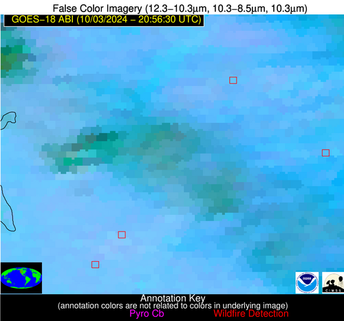
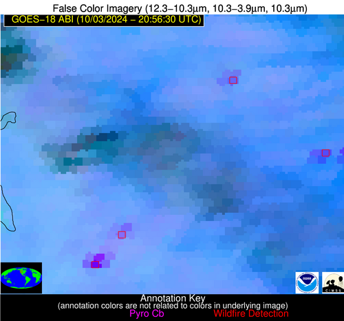
Possible Wildfire
| Basic Information | |
|---|---|
| State/Province(s) | ID |
| Country/Countries | USA |
| County/Locality(s) | Valley County, ID |
| NWS WFO | Boise ID |
| Identification Method | Enhanced Contextual (Cloud) |
| Mean Object Date/Time | 2024-10-03 20:56:23UTC |
| Radiative Center (Lat, Lon): | 45.120000°, -115.380000° |
| Nearby Counties (meeting alert criteria): |
|
| Total Radiative Power Anomaly | n/a |
| Total Radiative Power | 35.56 MW |
| Map: | |
| Additional Information | |
| Alert Status | New Feature |
| Type of Event | Nominal Risk, Known Incident: LOGAN (HIGH, tdiff=1.08997 days, PERIMETER) |
| Event Priority Ranking | 4 |
| Maximum Observed BT (3.9 um) | 309.33 K |
| Observed - Background BT (3.9 um) | 6.54 K |
| BT Anomaly (3.9 um) | 4.79 K |
| Maximum Observed - Clear RTM BT (3.9 um) | 22.01 K |
| Maximum Observed BTD (3.9-10/11/12 um) | 18.74 K |
| Observed - Background BTD (3.9-10/11/12 um) | 6.90 K |
| BTD Anomaly (3.9-10/11/12 um) | 6.17 K |
| Similar Pixel Count | 0 |
| BT Time Tendency (3.9 um) | 7.30 K |
| Image Interval | 5.00 minutes |
| Fraction of Surrounding LWIR Pixels that are Colder | 0.44 |
| Fraction of Surrounding Red Channel Pixels that are Brighter | 1.00 |
| Maximum Radiative Power | 35.56 MW |
| Maximum Radiative Power Uncertainty | 0.00 MW |
| Total Radiative Power Uncertainty | 0.00 MW |
| Mean Viewing Angle | 56.60° |
| Mean Solar Zenith Angle | 52.90° |
| Mean Glint Angle | 109.50° |
| Water Fraction | 0.00 |
| Total Pixel Area | 8.90 km2 |
| Latest Satellite Imagery: | |
| View all event imagery » | |
Possible Wildfire
| Basic Information | |
|---|---|
| State/Province(s) | ID |
| Country/Countries | USA |
| County/Locality(s) | Valley County, ID |
| NWS WFO | Boise ID |
| Identification Method | Enhanced Contextual (Clear) |
| Mean Object Date/Time | 2024-10-03 20:56:23UTC |
| Radiative Center (Lat, Lon): | 44.490000°, -115.720000° |
| Nearby Counties (meeting alert criteria): |
|
| Total Radiative Power Anomaly | n/a |
| Total Radiative Power | 40.89 MW |
| Map: | |
| Additional Information | |
| Alert Status | New Feature |
| Type of Event | Nominal Risk, Known Incident: SNAG (HIGH, tdiff=0.33537 days, PERIMETER) |
| Event Priority Ranking | 4 |
| Maximum Observed BT (3.9 um) | 311.57 K |
| Observed - Background BT (3.9 um) | 8.22 K |
| BT Anomaly (3.9 um) | 3.56 K |
| Maximum Observed - Clear RTM BT (3.9 um) | 24.60 K |
| Maximum Observed BTD (3.9-10/11/12 um) | 16.80 K |
| Observed - Background BTD (3.9-10/11/12 um) | 7.68 K |
| BTD Anomaly (3.9-10/11/12 um) | 4.42 K |
| Similar Pixel Count | 7 |
| BT Time Tendency (3.9 um) | 1.30 K |
| Image Interval | 5.00 minutes |
| Fraction of Surrounding LWIR Pixels that are Colder | 0.78 |
| Fraction of Surrounding Red Channel Pixels that are Brighter | 0.95 |
| Maximum Radiative Power | 40.89 MW |
| Maximum Radiative Power Uncertainty | 0.00 MW |
| Total Radiative Power Uncertainty | 0.00 MW |
| Mean Viewing Angle | 55.80° |
| Mean Solar Zenith Angle | 52.30° |
| Mean Glint Angle | 108.10° |
| Water Fraction | 0.00 |
| Total Pixel Area | 8.70 km2 |
| Latest Satellite Imagery: | |
| View all event imagery » | |
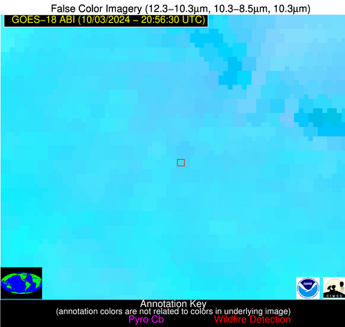
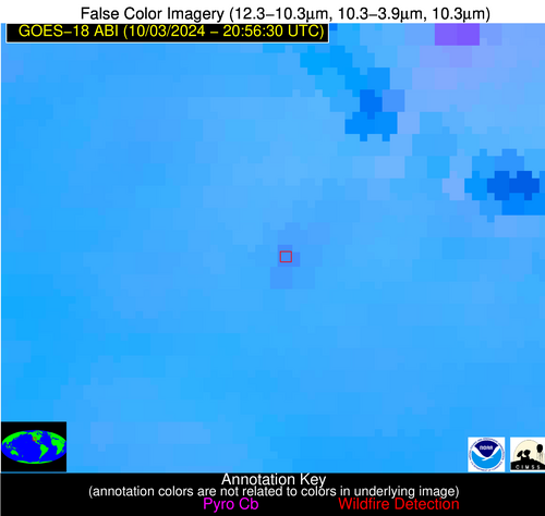
Possible Wildfire
| Basic Information | |
|---|---|
| State/Province(s) | AZ |
| Country/Countries | USA |
| County/Locality(s) | Gila County, AZ |
| NWS WFO | Flagstaff AZ |
| Identification Method | Enhanced Contextual (Clear) |
| Mean Object Date/Time | 2024-10-03 20:57:24UTC |
| Radiative Center (Lat, Lon): | 34.370000°, -111.410000° |
| Nearby Counties (meeting alert criteria): |
|
| Total Radiative Power Anomaly | n/a |
| Total Radiative Power | 24.06 MW |
| Map: | |
| Additional Information | |
| Alert Status | New Feature |
| Type of Event | Nominal Risk, Known Incident: WEST (HIGH, tdiff=6.12029 days, PERIMETER) |
| Event Priority Ranking | 4 |
| Maximum Observed BT (3.9 um) | 321.74 K |
| Observed - Background BT (3.9 um) | 3.76 K |
| BT Anomaly (3.9 um) | 2.48 K |
| Maximum Observed - Clear RTM BT (3.9 um) | 20.94 K |
| Maximum Observed BTD (3.9-10/11/12 um) | 13.71 K |
| Observed - Background BTD (3.9-10/11/12 um) | 4.14 K |
| BTD Anomaly (3.9-10/11/12 um) | 11.12 K |
| Similar Pixel Count | 20 |
| BT Time Tendency (3.9 um) | 3.50 K |
| Image Interval | 5.00 minutes |
| Fraction of Surrounding LWIR Pixels that are Colder | 0.57 |
| Fraction of Surrounding Red Channel Pixels that are Brighter | 1.00 |
| Maximum Radiative Power | 24.06 MW |
| Maximum Radiative Power Uncertainty | 0.00 MW |
| Total Radiative Power Uncertainty | 0.00 MW |
| Mean Viewing Angle | 48.60° |
| Mean Solar Zenith Angle | 45.40° |
| Mean Glint Angle | 94.00° |
| Water Fraction | 0.00 |
| Total Pixel Area | 7.20 km2 |
| Latest Satellite Imagery: | |
| View all event imagery » | |


