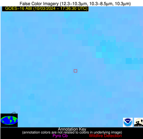
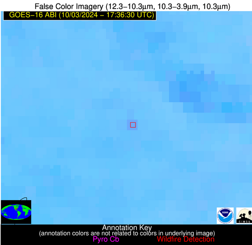
Wildfire Alert Report
| Date: | 2024-10-03 |
|---|---|
| Time: | 17:36:17 |
| Production Date and Time: | 2024-10-03 17:41:02 UTC |
| Primary Instrument: | GOES-16 ABI |
| Wmo Spacecraft Id: | 152 |
| Location/orbit: | GEO |
| L1 File: | OR_ABI-L1b-RadC-M6C14_G16_s20242771736171_e20242771738544_c20242771739024.nc |
| L1 File(s) - Temporal | OR_ABI-L1b-RadC-M6C14_G16_s20242771731171_e20242771733544_c20242771734033.nc |
| Number Of Thermal Anomaly Alerts: | 4 |
Possible Wildfire
| Basic Information | |
|---|---|
| State/Province(s) | NY |
| Country/Countries | USA |
| County/Locality(s) | Otsego County, NY |
| NWS WFO | Binghamton NY |
| Identification Method | Enhanced Contextual (Clear) |
| Mean Object Date/Time | 2024-10-03 17:36:53UTC |
| Radiative Center (Lat, Lon): | 42.460000°, -75.060000° |
| Nearby Counties (meeting alert criteria): |
|
| Total Radiative Power Anomaly | n/a |
| Total Radiative Power | 10.54 MW |
| Map: | |
| Additional Information | |
| Alert Status | New Feature |
| Type of Event | Nominal Risk |
| Event Priority Ranking | 4 |
| Maximum Observed BT (3.9 um) | 299.71 K |
| Observed - Background BT (3.9 um) | 4.26 K |
| BT Anomaly (3.9 um) | 8.84 K |
| Maximum Observed - Clear RTM BT (3.9 um) | 10.44 K |
| Maximum Observed BTD (3.9-10/11/12 um) | 8.89 K |
| Observed - Background BTD (3.9-10/11/12 um) | 2.49 K |
| BTD Anomaly (3.9-10/11/12 um) | 8.00 K |
| Similar Pixel Count | 24 |
| BT Time Tendency (3.9 um) | 0.10 K |
| Image Interval | 5.00 minutes |
| Fraction of Surrounding LWIR Pixels that are Colder | 1.00 |
| Fraction of Surrounding Red Channel Pixels that are Brighter | 1.00 |
| Maximum Radiative Power | 10.54 MW |
| Maximum Radiative Power Uncertainty | 0.00 MW |
| Total Radiative Power Uncertainty | 0.00 MW |
| Mean Viewing Angle | 49.30° |
| Mean Solar Zenith Angle | 47.80° |
| Mean Glint Angle | 95.90° |
| Water Fraction | 0.00 |
| Total Pixel Area | 6.80 km2 |
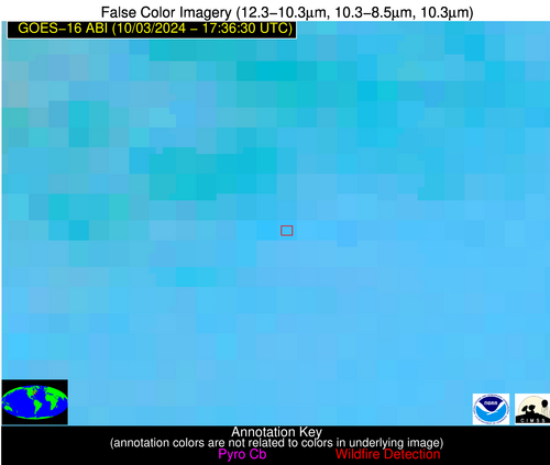
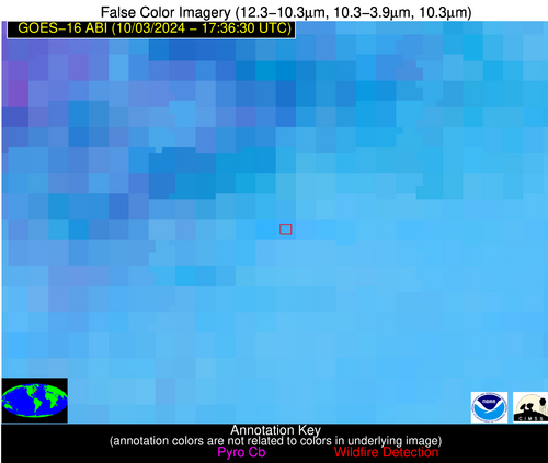
| Latest Satellite Imagery: | |
| View all event imagery » | |
Possible Wildfire
| Basic Information | |
|---|---|
| State/Province(s) | AR |
| Country/Countries | USA |
| County/Locality(s) | Lonoke County, AR |
| NWS WFO | Little Rock AR |
| Identification Method | Enhanced Contextual (Clear) |
| Mean Object Date/Time | 2024-10-03 17:37:20UTC |
| Radiative Center (Lat, Lon): | 34.750000°, -91.880000° |
| Nearby Counties (meeting alert criteria): |
|
| Total Radiative Power Anomaly | n/a |
| Total Radiative Power | 25.85 MW |
| Map: | |
| Additional Information | |
| Alert Status | New Feature |
| Type of Event | Nominal Risk |
| Event Priority Ranking | 4 |
| Maximum Observed BT (3.9 um) | 312.28 K |
| Observed - Background BT (3.9 um) | 3.07 K |
| BT Anomaly (3.9 um) | 1.21 K |
| Maximum Observed - Clear RTM BT (3.9 um) | 12.18 K |
| Maximum Observed BTD (3.9-10/11/12 um) | 12.34 K |
| Observed - Background BTD (3.9-10/11/12 um) | 3.21 K |
| BTD Anomaly (3.9-10/11/12 um) | 2.59 K |
| Similar Pixel Count | 13 |
| BT Time Tendency (3.9 um) | 0.50 K |
| Image Interval | 5.00 minutes |
| Fraction of Surrounding LWIR Pixels that are Colder | 0.75 |
| Fraction of Surrounding Red Channel Pixels that are Brighter | 0.50 |
| Maximum Radiative Power | 13.08 MW |
| Maximum Radiative Power Uncertainty | 0.00 MW |
| Total Radiative Power Uncertainty | 0.00 MW |
| Mean Viewing Angle | 44.30° |
| Mean Solar Zenith Angle | 39.20° |
| Mean Glint Angle | 82.00° |
| Water Fraction | 0.00 |
| Total Pixel Area | 12.60 km2 |
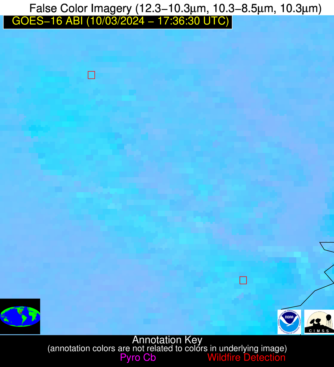
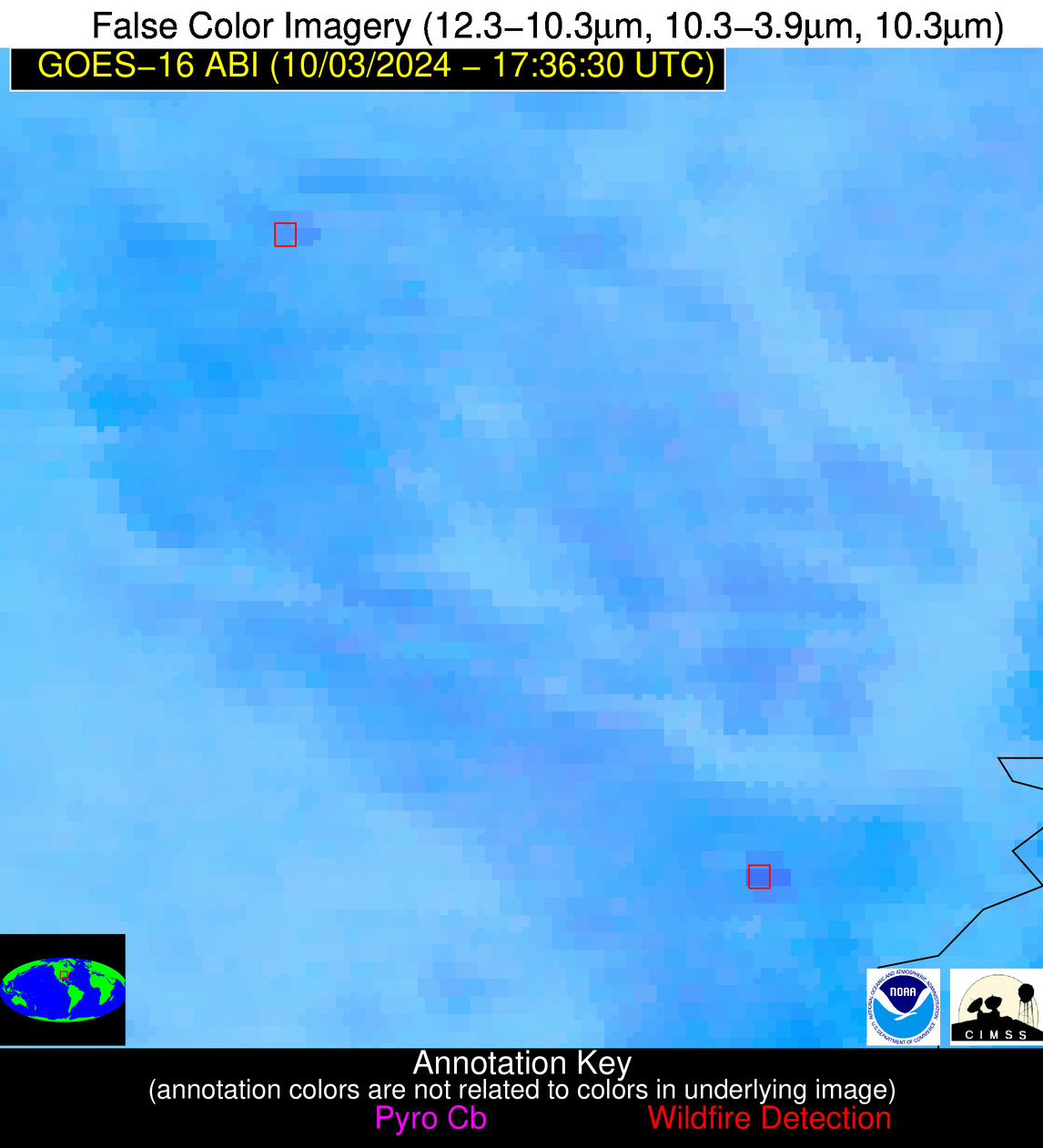
| Latest Satellite Imagery: | |
| View all event imagery » | |
Possible Wildfire
| Basic Information | |
|---|---|
| State/Province(s) | AR |
| Country/Countries | USA |
| County/Locality(s) | Desha County, AR |
| NWS WFO | Little Rock AR |
| Identification Method | Enhanced Contextual (Clear) |
| Mean Object Date/Time | 2024-10-03 17:37:21UTC |
| Radiative Center (Lat, Lon): | 33.830000°, -91.350000° |
| Nearby Counties (meeting alert criteria): |
|
| Total Radiative Power Anomaly | n/a |
| Total Radiative Power | 69.57 MW |
| Map: | |
| Additional Information | |
| Alert Status | New Feature |
| Type of Event | Nominal Risk |
| Event Priority Ranking | 4 |
| Maximum Observed BT (3.9 um) | 322.12 K |
| Observed - Background BT (3.9 um) | 7.61 K |
| BT Anomaly (3.9 um) | 4.69 K |
| Maximum Observed - Clear RTM BT (3.9 um) | 18.78 K |
| Maximum Observed BTD (3.9-10/11/12 um) | 17.57 K |
| Observed - Background BTD (3.9-10/11/12 um) | 7.61 K |
| BTD Anomaly (3.9-10/11/12 um) | 9.48 K |
| Similar Pixel Count | 6 |
| BT Time Tendency (3.9 um) | 6.40 K |
| Image Interval | 5.00 minutes |
| Fraction of Surrounding LWIR Pixels that are Colder | 0.59 |
| Fraction of Surrounding Red Channel Pixels that are Brighter | 0.81 |
| Maximum Radiative Power | 38.40 MW |
| Maximum Radiative Power Uncertainty | 0.00 MW |
| Total Radiative Power Uncertainty | 0.00 MW |
| Mean Viewing Angle | 43.20° |
| Mean Solar Zenith Angle | 38.20° |
| Mean Glint Angle | 79.90° |
| Water Fraction | 0.00 |
| Total Pixel Area | 12.20 km2 |
| Latest Satellite Imagery: | |
| View all event imagery » | |
Possible Wildfire
| Basic Information | |
|---|---|
| State/Province(s) | LA |
| Country/Countries | USA |
| County/Locality(s) | Natchitoches Parish, LA |
| NWS WFO | Shreveport LA |
| Identification Method | Enhanced Contextual (Clear) |
| Mean Object Date/Time | 2024-10-03 17:37:20UTC |
| Radiative Center (Lat, Lon): | 31.800000°, -93.430000° |
| Nearby Counties (meeting alert criteria): |
|
| Total Radiative Power Anomaly | n/a |
| Total Radiative Power | 12.79 MW |
| Map: | |
| Additional Information | |
| Alert Status | New Feature |
| Type of Event | Nominal Risk |
| Event Priority Ranking | 4 |
| Maximum Observed BT (3.9 um) | 307.31 K |
| Observed - Background BT (3.9 um) | 3.27 K |
| BT Anomaly (3.9 um) | 2.69 K |
| Maximum Observed - Clear RTM BT (3.9 um) | 5.17 K |
| Maximum Observed BTD (3.9-10/11/12 um) | 8.77 K |
| Observed - Background BTD (3.9-10/11/12 um) | 3.56 K |
| BTD Anomaly (3.9-10/11/12 um) | 6.95 K |
| Similar Pixel Count | 5 |
| BT Time Tendency (3.9 um) | 1.00 K |
| Image Interval | 5.00 minutes |
| Fraction of Surrounding LWIR Pixels that are Colder | 0.37 |
| Fraction of Surrounding Red Channel Pixels that are Brighter | 1.00 |
| Maximum Radiative Power | 12.79 MW |
| Maximum Radiative Power Uncertainty | 0.00 MW |
| Total Radiative Power Uncertainty | 0.00 MW |
| Mean Viewing Angle | 42.20° |
| Mean Solar Zenith Angle | 36.50° |
| Mean Glint Angle | 77.10° |
| Water Fraction | 0.00 |
| Total Pixel Area | 6.00 km2 |
| Latest Satellite Imagery: | |
| View all event imagery » | |
