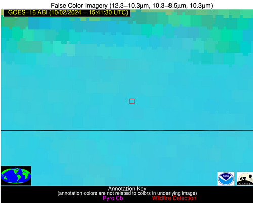
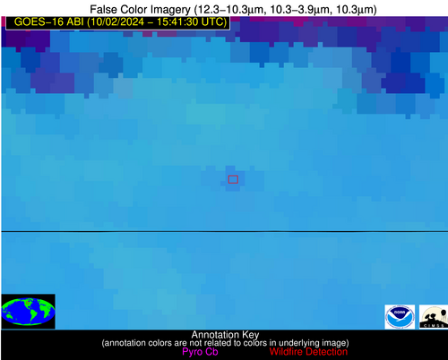
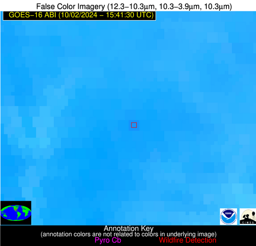
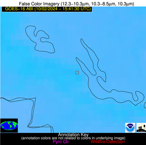
Wildfire Alert Report
| Date: | 2024-10-02 |
|---|---|
| Time: | 15:41:17 |
| Production Date and Time: | 2024-10-02 15:45:55 UTC |
| Primary Instrument: | GOES-16 ABI |
| Wmo Spacecraft Id: | 152 |
| Location/orbit: | GEO |
| L1 File: | OR_ABI-L1b-RadC-M6C14_G16_s20242761541171_e20242761543544_c20242761544049.nc |
| L1 File(s) - Temporal | OR_ABI-L1b-RadC-M6C14_G16_s20242761536171_e20242761538544_c20242761539040.nc |
| Number Of Thermal Anomaly Alerts: | 6 |
Possible Wildfire
| Basic Information | |
|---|---|
| State/Province(s) | Manitoba |
| Country/Countries | Canada |
| County/Locality(s) | Division No. 4, Manitoba |
| NWS WFO | N/A |
| Identification Method | Enhanced Contextual (Clear) |
| Mean Object Date/Time | 2024-10-02 15:41:20UTC |
| Radiative Center (Lat, Lon): | 49.080000°, -99.110000° |
| Nearby Counties (meeting alert criteria): |
|
| Total Radiative Power Anomaly | n/a |
| Total Radiative Power | 12.38 MW |
| Map: | |
| Additional Information | |
| Alert Status | New Feature |
| Type of Event | Nominal Risk |
| Event Priority Ranking | 4 |
| Maximum Observed BT (3.9 um) | 297.40 K |
| Observed - Background BT (3.9 um) | 3.69 K |
| BT Anomaly (3.9 um) | 2.75 K |
| Maximum Observed - Clear RTM BT (3.9 um) | 11.37 K |
| Maximum Observed BTD (3.9-10/11/12 um) | 13.71 K |
| Observed - Background BTD (3.9-10/11/12 um) | 3.35 K |
| BTD Anomaly (3.9-10/11/12 um) | 4.21 K |
| Similar Pixel Count | 24 |
| BT Time Tendency (3.9 um) | 0.80 K |
| Image Interval | 5.00 minutes |
| Fraction of Surrounding LWIR Pixels that are Colder | 0.66 |
| Fraction of Surrounding Red Channel Pixels that are Brighter | 1.00 |
| Maximum Radiative Power | 12.38 MW |
| Maximum Radiative Power Uncertainty | 0.00 MW |
| Total Radiative Power Uncertainty | 0.00 MW |
| Mean Viewing Angle | 61.20° |
| Mean Solar Zenith Angle | 63.70° |
| Mean Glint Angle | 122.60° |
| Water Fraction | 0.00 |
| Total Pixel Area | 10.70 km2 |
| Latest Satellite Imagery: | |
| View all event imagery » | |
Possible Wildfire
| Basic Information | |
|---|---|
| State/Province(s) | IA |
| Country/Countries | USA |
| County/Locality(s) | Delaware County, IA |
| NWS WFO | Quad Cities IL |
| Identification Method | Enhanced Contextual (Clear) |
| Mean Object Date/Time | 2024-10-02 15:41:51UTC |
| Radiative Center (Lat, Lon): | 42.340000°, -91.300000° |
| Nearby Counties (meeting alert criteria): |
|
| Total Radiative Power Anomaly | n/a |
| Total Radiative Power | 12.62 MW |
| Map: | |
| Additional Information | |
| Alert Status | New Feature |
| Type of Event | Nominal Risk |
| Event Priority Ranking | 4 |
| Maximum Observed BT (3.9 um) | 299.01 K |
| Observed - Background BT (3.9 um) | 3.14 K |
| BT Anomaly (3.9 um) | 4.47 K |
| Maximum Observed - Clear RTM BT (3.9 um) | 11.74 K |
| Maximum Observed BTD (3.9-10/11/12 um) | 11.19 K |
| Observed - Background BTD (3.9-10/11/12 um) | 3.64 K |
| BTD Anomaly (3.9-10/11/12 um) | 7.41 K |
| Similar Pixel Count | 9 |
| BT Time Tendency (3.9 um) | 1.30 K |
| Image Interval | 5.00 minutes |
| Fraction of Surrounding LWIR Pixels that are Colder | 0.06 |
| Fraction of Surrounding Red Channel Pixels that are Brighter | 1.00 |
| Maximum Radiative Power | 12.62 MW |
| Maximum Radiative Power Uncertainty | 0.00 MW |
| Total Radiative Power Uncertainty | 0.00 MW |
| Mean Viewing Angle | 51.80° |
| Mean Solar Zenith Angle | 55.10° |
| Mean Glint Angle | 104.90° |
| Water Fraction | 0.00 |
| Total Pixel Area | 7.50 km2 |
| Latest Satellite Imagery: | |
| View all event imagery » | |
Possible Wildfire
| Basic Information | |
|---|---|
| State/Province(s) | KS |
| Country/Countries | USA |
| County/Locality(s) | McPherson County, KS |
| NWS WFO | Wichita KS |
| Identification Method | Enhanced Contextual (Clear) |
| Mean Object Date/Time | 2024-10-02 15:41:50UTC |
| Radiative Center (Lat, Lon): | 38.290000°, -97.490000° |
| Nearby Counties (meeting alert criteria): |
|
| Total Radiative Power Anomaly | n/a |
| Total Radiative Power | 9.14 MW |
| Map: | |
| Additional Information | |
| Alert Status | New Feature |
| Type of Event | Nominal Risk |
| Event Priority Ranking | 4 |
| Maximum Observed BT (3.9 um) | 303.13 K |
| Observed - Background BT (3.9 um) | 3.31 K |
| BT Anomaly (3.9 um) | 3.25 K |
| Maximum Observed - Clear RTM BT (3.9 um) | 11.73 K |
| Maximum Observed BTD (3.9-10/11/12 um) | 10.68 K |
| Observed - Background BTD (3.9-10/11/12 um) | 2.92 K |
| BTD Anomaly (3.9-10/11/12 um) | 3.28 K |
| Similar Pixel Count | 25 |
| BT Time Tendency (3.9 um) | 0.70 K |
| Image Interval | 5.00 minutes |
| Fraction of Surrounding LWIR Pixels that are Colder | 0.94 |
| Fraction of Surrounding Red Channel Pixels that are Brighter | 0.98 |
| Maximum Radiative Power | 9.14 MW |
| Maximum Radiative Power Uncertainty | 0.00 MW |
| Total Radiative Power Uncertainty | 0.00 MW |
| Mean Viewing Angle | 50.30° |
| Mean Solar Zenith Angle | 55.60° |
| Mean Glint Angle | 104.40° |
| Water Fraction | 0.00 |
| Total Pixel Area | 7.40 km2 |
| Latest Satellite Imagery: | |
| View all event imagery » | |
Possible Wildfire
| Basic Information | |
|---|---|
| State/Province(s) | TX |
| Country/Countries | USA |
| County/Locality(s) | Hunt County, TX |
| NWS WFO | Fort Worth TX |
| Identification Method | Enhanced Contextual (Clear) |
| Mean Object Date/Time | 2024-10-02 15:42:20UTC |
| Radiative Center (Lat, Lon): | 33.100000°, -96.260000° |
| Nearby Counties (meeting alert criteria): |
|
| Total Radiative Power Anomaly | n/a |
| Total Radiative Power | 11.72 MW |
| Map: | |
| Additional Information | |
| Alert Status | New Feature |
| Type of Event | Nominal Risk |
| Event Priority Ranking | 4 |
| Maximum Observed BT (3.9 um) | 308.57 K |
| Observed - Background BT (3.9 um) | 4.36 K |
| BT Anomaly (3.9 um) | 2.69 K |
| Maximum Observed - Clear RTM BT (3.9 um) | 7.84 K |
| Maximum Observed BTD (3.9-10/11/12 um) | 13.92 K |
| Observed - Background BTD (3.9-10/11/12 um) | 3.71 K |
| BTD Anomaly (3.9-10/11/12 um) | 3.66 K |
| Similar Pixel Count | 25 |
| BT Time Tendency (3.9 um) | 1.40 K |
| Image Interval | 5.00 minutes |
| Fraction of Surrounding LWIR Pixels that are Colder | 0.82 |
| Fraction of Surrounding Red Channel Pixels that are Brighter | 0.98 |
| Maximum Radiative Power | 11.72 MW |
| Maximum Radiative Power Uncertainty | 0.00 MW |
| Total Radiative Power Uncertainty | 0.00 MW |
| Mean Viewing Angle | 44.90° |
| Mean Solar Zenith Angle | 51.60° |
| Mean Glint Angle | 95.10° |
| Water Fraction | 0.00 |
| Total Pixel Area | 6.40 km2 |
| Latest Satellite Imagery: | |
| View all event imagery » | |
Possible Wildfire
| Basic Information | |
|---|---|
| State/Province(s) | AL |
| Country/Countries | USA |
| County/Locality(s) | Pike County, AL |
| NWS WFO | Birmingham AL |
| Identification Method | Enhanced Contextual (Clear) |
| Mean Object Date/Time | 2024-10-02 15:42:21UTC |
| Radiative Center (Lat, Lon): | 31.990000°, -85.960000° |
| Nearby Counties (meeting alert criteria): |
|
| Total Radiative Power Anomaly | n/a |
| Total Radiative Power | 4.90 MW |
| Map: | |
| Additional Information | |
| Alert Status | New Feature |
| Type of Event | Nominal Risk |
| Event Priority Ranking | 4 |
| Maximum Observed BT (3.9 um) | 302.59 K |
| Observed - Background BT (3.9 um) | 1.64 K |
| BT Anomaly (3.9 um) | 2.41 K |
| Maximum Observed - Clear RTM BT (3.9 um) | 6.92 K |
| Maximum Observed BTD (3.9-10/11/12 um) | 8.37 K |
| Observed - Background BTD (3.9-10/11/12 um) | 1.62 K |
| BTD Anomaly (3.9-10/11/12 um) | 3.56 K |
| Similar Pixel Count | 25 |
| BT Time Tendency (3.9 um) | 2.00 K |
| Image Interval | 5.00 minutes |
| Fraction of Surrounding LWIR Pixels that are Colder | 0.55 |
| Fraction of Surrounding Red Channel Pixels that are Brighter | 1.00 |
| Maximum Radiative Power | 4.90 MW |
| Maximum Radiative Power Uncertainty | 0.00 MW |
| Total Radiative Power Uncertainty | 0.00 MW |
| Mean Viewing Angle | 39.20° |
| Mean Solar Zenith Angle | 44.50° |
| Mean Glint Angle | 81.80° |
| Water Fraction | 0.00 |
| Total Pixel Area | 5.60 km2 |
| Latest Satellite Imagery: | |
| View all event imagery » | |
Possible Wildfire
| Basic Information | |
|---|---|
| State/Province(s) | LA |
| Country/Countries | USA |
| County/Locality(s) | St. Mary Parish, LA |
| NWS WFO | Lake Charles LA |
| Identification Method | Enhanced Contextual (Clear) |
| Mean Object Date/Time | 2024-10-02 15:42:50UTC |
| Radiative Center (Lat, Lon): | 29.850000°, -91.450000° |
| Nearby Counties (meeting alert criteria): |
|
| Total Radiative Power Anomaly | n/a |
| Total Radiative Power | 23.57 MW |
| Map: | |
| Additional Information | |
| Alert Status | New Feature |
| Type of Event | Nominal Risk |
| Event Priority Ranking | 4 |
| Maximum Observed BT (3.9 um) | 311.68 K |
| Observed - Background BT (3.9 um) | 10.31 K |
| BT Anomaly (3.9 um) | 5.18 K |
| Maximum Observed - Clear RTM BT (3.9 um) | 15.03 K |
| Maximum Observed BTD (3.9-10/11/12 um) | 15.72 K |
| Observed - Background BTD (3.9-10/11/12 um) | 8.97 K |
| BTD Anomaly (3.9-10/11/12 um) | 6.74 K |
| Similar Pixel Count | 3 |
| BT Time Tendency (3.9 um) | 3.20 K |
| Image Interval | 5.00 minutes |
| Fraction of Surrounding LWIR Pixels that are Colder | 0.96 |
| Fraction of Surrounding Red Channel Pixels that are Brighter | 0.15 |
| Maximum Radiative Power | 23.57 MW |
| Maximum Radiative Power Uncertainty | 0.00 MW |
| Total Radiative Power Uncertainty | 0.00 MW |
| Mean Viewing Angle | 39.30° |
| Mean Solar Zenith Angle | 46.40° |
| Mean Glint Angle | 84.20° |
| Water Fraction | 0.00 |
| Total Pixel Area | 5.70 km2 |
| Latest Satellite Imagery: | |
| View all event imagery » | |


