Jan 2026: Due to an ongoing data center cooling system construction project, NGFS data outages may occur with little or no notice. Bitterly cold air in Madison Jan 22-24 increases risk of outages.
Wildfire Alert Report
| Date: | 2024-10-01 |
|---|---|
| Time: | 20:21:17 |
| Production Date and Time: | 2024-10-01 20:26:06 UTC |
| Primary Instrument: | GOES-16 ABI |
| Wmo Spacecraft Id: | 152 |
| Location/orbit: | GEO |
| L1 File: | OR_ABI-L1b-RadC-M6C14_G16_s20242752021171_e20242752023544_c20242752024033.nc |
| L1 File(s) - Temporal | OR_ABI-L1b-RadC-M6C14_G16_s20242752016171_e20242752018544_c20242752019037.nc |
| Number Of Thermal Anomaly Alerts: | 5 |
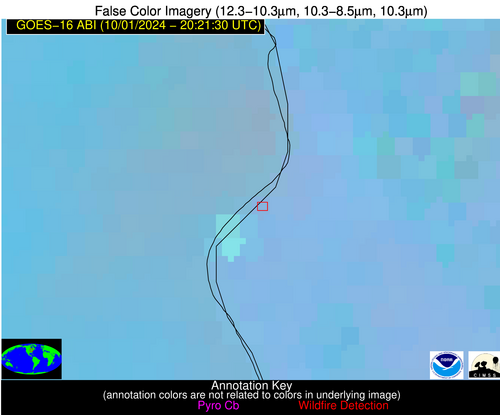
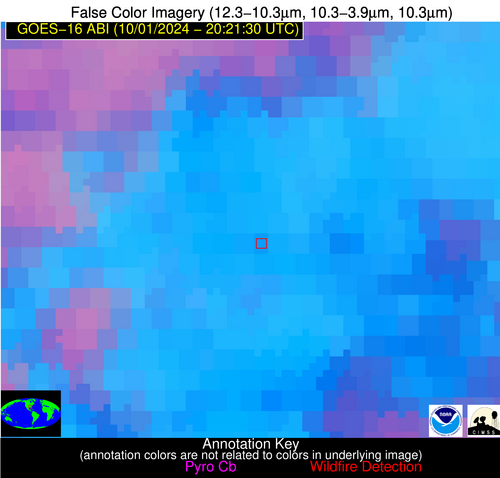
Possible Wildfire
| Basic Information | |
|---|---|
| State/Province(s) | MI |
| Country/Countries | USA |
| County/Locality(s) | Oceana County, MI |
| NWS WFO | Grand Rapids MI |
| Identification Method | Enhanced Contextual (Clear) |
| Mean Object Date/Time | 2024-10-01 20:21:21UTC |
| Radiative Center (Lat, Lon): | 43.720000°, -86.470000° |
| Nearby Counties (meeting alert criteria): |
|
| Total Radiative Power Anomaly | n/a |
| Total Radiative Power | 10.80 MW |
| Map: | |
| Additional Information | |
| Alert Status | New Feature |
| Type of Event | Nominal Risk |
| Event Priority Ranking | 4 |
| Maximum Observed BT (3.9 um) | 294.01 K |
| Observed - Background BT (3.9 um) | 4.68 K |
| BT Anomaly (3.9 um) | 1.95 K |
| Maximum Observed - Clear RTM BT (3.9 um) | 7.24 K |
| Maximum Observed BTD (3.9-10/11/12 um) | 8.80 K |
| Observed - Background BTD (3.9-10/11/12 um) | 4.95 K |
| BTD Anomaly (3.9-10/11/12 um) | 3.69 K |
| Similar Pixel Count | 1 |
| BT Time Tendency (3.9 um) | 1.70 K |
| Image Interval | 5.00 minutes |
| Fraction of Surrounding LWIR Pixels that are Colder | 0.50 |
| Fraction of Surrounding Red Channel Pixels that are Brighter | 0.85 |
| Maximum Radiative Power | 10.80 MW |
| Maximum Radiative Power Uncertainty | 0.00 MW |
| Total Radiative Power Uncertainty | 0.00 MW |
| Mean Viewing Angle | 51.90° |
| Mean Solar Zenith Angle | 60.10° |
| Mean Glint Angle | 88.30° |
| Water Fraction | 0.00 |
| Total Pixel Area | 7.40 km2 |
| Latest Satellite Imagery: | |
| View all event imagery » | |
Possible Wildfire
| Basic Information | |
|---|---|
| State/Province(s) | OR |
| Country/Countries | USA |
| County/Locality(s) | Deschutes County, OR |
| NWS WFO | Pendleton OR |
| Identification Method | Enhanced Contextual (Clear) |
| Mean Object Date/Time | 2024-10-01 20:21:48UTC |
| Radiative Center (Lat, Lon): | 43.870000°, -121.710000° |
| Nearby Counties (meeting alert criteria): |
|
| Total Radiative Power Anomaly | n/a |
| Total Radiative Power | 86.09 MW |
| Map: | |
| Additional Information | |
| Alert Status | New Feature |
| Type of Event | Nominal Risk, Known Incident: LITTLE LAVA (HIGH, tdiff=0.07104 days, PERIMETER) |
| Event Priority Ranking | 4 |
| Maximum Observed BT (3.9 um) | 303.32 K |
| Observed - Background BT (3.9 um) | 5.21 K |
| BT Anomaly (3.9 um) | 2.85 K |
| Maximum Observed - Clear RTM BT (3.9 um) | 10.12 K |
| Maximum Observed BTD (3.9-10/11/12 um) | 9.57 K |
| Observed - Background BTD (3.9-10/11/12 um) | 5.08 K |
| BTD Anomaly (3.9-10/11/12 um) | 5.37 K |
| Similar Pixel Count | 4 |
| BT Time Tendency (3.9 um) | 1.60 K |
| Image Interval | 5.00 minutes |
| Fraction of Surrounding LWIR Pixels that are Colder | 0.77 |
| Fraction of Surrounding Red Channel Pixels that are Brighter | 0.22 |
| Maximum Radiative Power | 30.50 MW |
| Maximum Radiative Power Uncertainty | 0.00 MW |
| Total Radiative Power Uncertainty | 0.00 MW |
| Mean Viewing Angle | 68.80° |
| Mean Solar Zenith Angle | 47.60° |
| Mean Glint Angle | 92.60° |
| Water Fraction | 0.00 |
| Total Pixel Area | 59.70 km2 |
| Latest Satellite Imagery: | |
| View all event imagery » | |
Possible Wildfire
| Basic Information | |
|---|---|
| State/Province(s) | MS |
| Country/Countries | USA |
| County/Locality(s) | Clay County, MS |
| NWS WFO | Jackson MS |
| Identification Method | Enhanced Contextual (Clear) |
| Mean Object Date/Time | 2024-10-01 20:22:21UTC |
| Radiative Center (Lat, Lon): | 33.640000°, -88.580000° |
| Nearby Counties (meeting alert criteria): |
|
| Total Radiative Power Anomaly | n/a |
| Total Radiative Power | 9.33 MW |
| Map: | |
| Additional Information | |
| Alert Status | New Feature |
| Type of Event | Nominal Risk |
| Event Priority Ranking | 4 |
| Maximum Observed BT (3.9 um) | 305.75 K |
| Observed - Background BT (3.9 um) | 4.52 K |
| BT Anomaly (3.9 um) | 3.11 K |
| Maximum Observed - Clear RTM BT (3.9 um) | 9.58 K |
| Maximum Observed BTD (3.9-10/11/12 um) | 13.04 K |
| Observed - Background BTD (3.9-10/11/12 um) | 3.13 K |
| BTD Anomaly (3.9-10/11/12 um) | 2.89 K |
| Similar Pixel Count | 24 |
| BT Time Tendency (3.9 um) | 0.60 K |
| Image Interval | 5.00 minutes |
| Fraction of Surrounding LWIR Pixels that are Colder | 0.99 |
| Fraction of Surrounding Red Channel Pixels that are Brighter | 1.00 |
| Maximum Radiative Power | 9.33 MW |
| Maximum Radiative Power Uncertainty | 0.00 MW |
| Total Radiative Power Uncertainty | 0.00 MW |
| Mean Viewing Angle | 41.90° |
| Mean Solar Zenith Angle | 52.50° |
| Mean Glint Angle | 70.80° |
| Water Fraction | 0.00 |
| Total Pixel Area | 5.90 km2 |
| Latest Satellite Imagery: | |
| View all event imagery » | |
Possible Wildfire
| Basic Information | |
|---|---|
| State/Province(s) | TX |
| Country/Countries | USA |
| County/Locality(s) | Waller County, TX |
| NWS WFO | Houston/Galveston TX |
| Identification Method | Enhanced Contextual (Clear) |
| Mean Object Date/Time | 2024-10-01 20:22:50UTC |
| Radiative Center (Lat, Lon): | 30.200000°, -95.810000° |
| Nearby Counties (meeting alert criteria): |
|
| Total Radiative Power Anomaly | n/a |
| Total Radiative Power | 21.93 MW |
| Map: | |
| Additional Information | |
| Alert Status | New Feature |
| Type of Event | Nominal Risk |
| Event Priority Ranking | 4 |
| Maximum Observed BT (3.9 um) | 314.04 K |
| Observed - Background BT (3.9 um) | 6.21 K |
| BT Anomaly (3.9 um) | 4.14 K |
| Maximum Observed - Clear RTM BT (3.9 um) | 9.74 K |
| Maximum Observed BTD (3.9-10/11/12 um) | 17.77 K |
| Observed - Background BTD (3.9-10/11/12 um) | 6.55 K |
| BTD Anomaly (3.9-10/11/12 um) | 4.20 K |
| Similar Pixel Count | 12 |
| BT Time Tendency (3.9 um) | 1.50 K |
| Image Interval | 5.00 minutes |
| Fraction of Surrounding LWIR Pixels that are Colder | 0.41 |
| Fraction of Surrounding Red Channel Pixels that are Brighter | 0.41 |
| Maximum Radiative Power | 21.93 MW |
| Maximum Radiative Power Uncertainty | 0.00 MW |
| Total Radiative Power Uncertainty | 0.00 MW |
| Mean Viewing Angle | 42.00° |
| Mean Solar Zenith Angle | 45.50° |
| Mean Glint Angle | 61.40° |
| Water Fraction | 0.00 |
| Total Pixel Area | 6.00 km2 |
| Latest Satellite Imagery: | |
| View all event imagery » | |
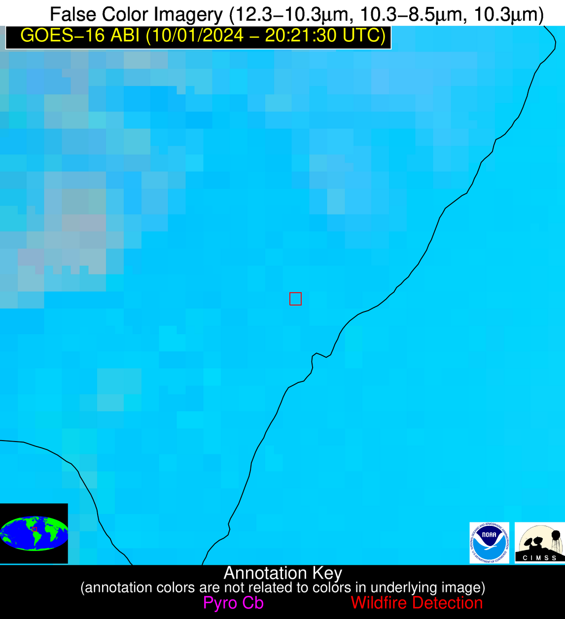
Possible Wildfire
| Basic Information | |
|---|---|
| State/Province(s) | Unknown |
| Country/Countries | Dominican Republic |
| County/Locality(s) | Dominican Republic |
| NWS WFO | N/A |
| Identification Method | Enhanced Contextual (Clear) |
| Mean Object Date/Time | 2024-10-01 20:23:53UTC |
| Radiative Center (Lat, Lon): | 17.900000°, -71.300000° |
| Nearby Counties (meeting alert criteria): |
|
| Total Radiative Power Anomaly | n/a |
| Total Radiative Power | 42.87 MW |
| Map: | |
| Additional Information | |
| Alert Status | New Feature |
| Type of Event | Nominal Risk |
| Event Priority Ranking | 4 |
| Maximum Observed BT (3.9 um) | 310.90 K |
| Observed - Background BT (3.9 um) | 9.54 K |
| BT Anomaly (3.9 um) | 6.18 K |
| Maximum Observed - Clear RTM BT (3.9 um) | 14.63 K |
| Maximum Observed BTD (3.9-10/11/12 um) | 20.50 K |
| Observed - Background BTD (3.9-10/11/12 um) | 10.03 K |
| BTD Anomaly (3.9-10/11/12 um) | 4.94 K |
| Similar Pixel Count | 8 |
| BT Time Tendency (3.9 um) | 2.10 K |
| Image Interval | 5.00 minutes |
| Fraction of Surrounding LWIR Pixels that are Colder | 0.30 |
| Fraction of Surrounding Red Channel Pixels that are Brighter | 0.31 |
| Maximum Radiative Power | 22.07 MW |
| Maximum Radiative Power Uncertainty | 0.00 MW |
| Total Radiative Power Uncertainty | 0.00 MW |
| Mean Viewing Angle | 21.60° |
| Mean Solar Zenith Angle | 59.80° |
| Mean Glint Angle | 71.30° |
| Water Fraction | 0.00 |
| Total Pixel Area | 8.90 km2 |
| Latest Satellite Imagery: | |
| View all event imagery » | |


