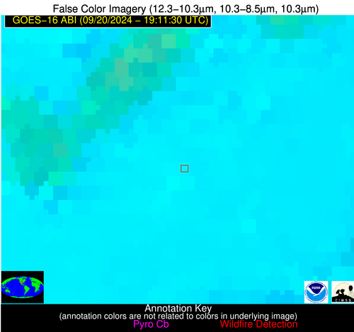
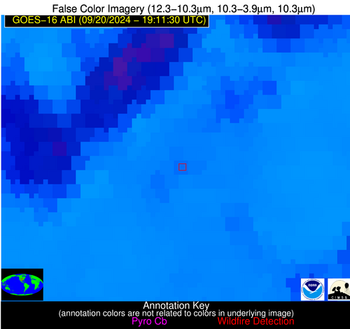
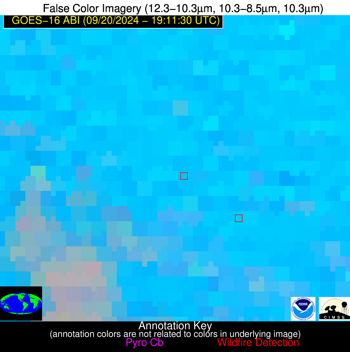
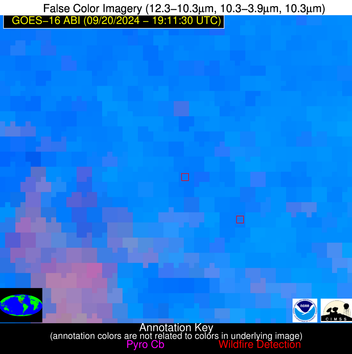
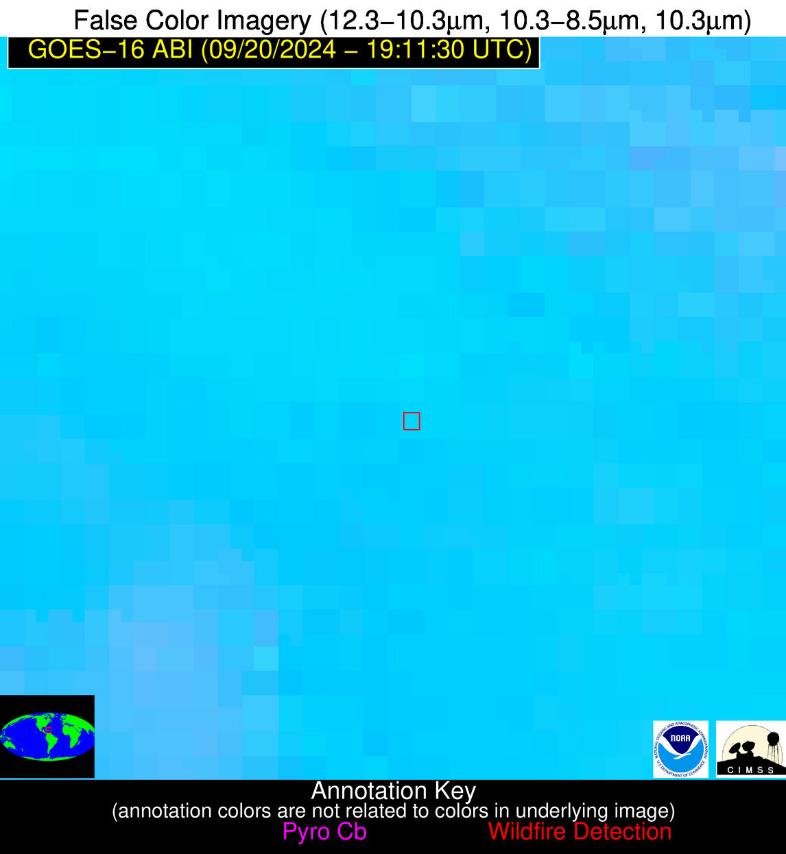
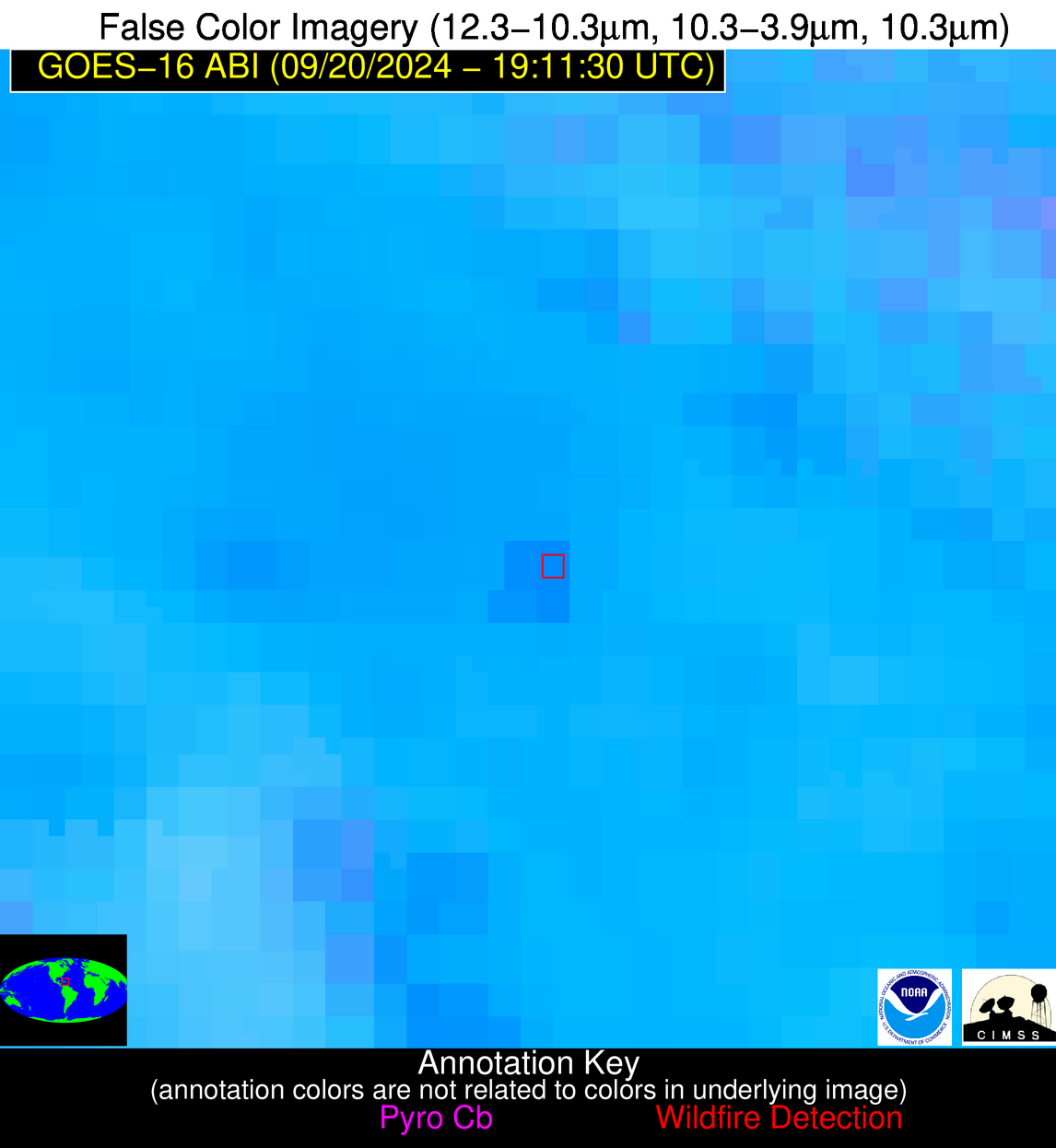
Please consider accessing NGFS detections and satellite imagery through the NOAA/NESDIS Wildland Fire Data Portal: https://fire.data.nesdis.noaa.gov/map/
Wildfire Notification Report
| Date: | 2024-09-20 |
|---|---|
| Time: | 19:11:17 |
| Production Date and Time: | 2024-09-20 19:16:11 UTC |
| Primary Instrument: | GOES-16 ABI |
| Wmo Spacecraft Id: | 152 |
| Location/orbit: | GEO |
| L1 File: | OR_ABI-L1b-RadC-M6C14_G16_s20242641911172_e20242641913545_c20242641914025.nc |
| L1 File(s) - Temporal | OR_ABI-L1b-RadC-M6C14_G16_s20242641906172_e20242641908545_c20242641909028.nc |
| Number Of Thermal Anomaly Alerts: | 3 |
Possible Wildfire
| Basic Information | |
|---|---|
| State/Province(s) | OK |
| Country/Countries | USA |
| County/Locality(s) | Grady County, OK |
| NWS WFO | Norman OK |
| Identification Method | Enhanced Contextual (Clear) |
| Mean Object Date/Time | 2024-09-20 19:12:20UTC |
| Radiative Center (Lat, Lon): | 35.140000°, -97.970000° |
| Nearby Counties (meeting alert criteria): |
|
| Total Radiative Power Anomaly | n/a |
| Total Radiative Power | 21.41 MW |
| Map: | |
| Additional Information | |
| Alert Status | New Feature |
| Type of Event | Nominal Risk |
| Event Priority Ranking | 4 |
| Maximum Observed BT (3.9 um) | 321.14 K |
| Observed - Background BT (3.9 um) | 4.88 K |
| BT Anomaly (3.9 um) | 3.43 K |
| Maximum Observed - Clear RTM BT (3.9 um) | 11.45 K |
| Maximum Observed BTD (3.9-10/11/12 um) | 25.00 K |
| Observed - Background BTD (3.9-10/11/12 um) | 4.77 K |
| BTD Anomaly (3.9-10/11/12 um) | 3.82 K |
| Similar Pixel Count | 25 |
| BT Time Tendency (3.9 um) | 2.10 K |
| Image Interval | 5.00 minutes |
| Fraction of Surrounding LWIR Pixels that are Colder | 0.73 |
| Fraction of Surrounding Red Channel Pixels that are Brighter | 0.90 |
| Maximum Radiative Power | 21.41 MW |
| Maximum Radiative Power Uncertainty | 0.00 MW |
| Total Radiative Power Uncertainty | 0.00 MW |
| Mean Viewing Angle | 47.70° |
| Mean Solar Zenith Angle | 35.80° |
| Mean Glint Angle | 72.30° |
| Water Fraction | 0.00 |
| Total Pixel Area | 6.90 km2 |
| Latest Satellite Imagery: | |
| View all event imagery » | |
Possible Wildfire
| Basic Information | |
|---|---|
| State/Province(s) | TX |
| Country/Countries | USA |
| County/Locality(s) | Goliad County, TX |
| NWS WFO | Corpus Christi TX |
| Identification Method | Enhanced Contextual (Clear) |
| Mean Object Date/Time | 2024-09-20 19:12:50UTC |
| Radiative Center (Lat, Lon): | 28.680000°, -97.580000° |
| Nearby Counties (meeting alert criteria): |
|
| Total Radiative Power Anomaly | n/a |
| Total Radiative Power | 12.04 MW |
| Map: | |
| Additional Information | |
| Alert Status | New Feature |
| Type of Event | Nominal Risk |
| Event Priority Ranking | 4 |
| Maximum Observed BT (3.9 um) | 314.25 K |
| Observed - Background BT (3.9 um) | 3.41 K |
| BT Anomaly (3.9 um) | 1.81 K |
| Maximum Observed - Clear RTM BT (3.9 um) | 7.67 K |
| Maximum Observed BTD (3.9-10/11/12 um) | 20.73 K |
| Observed - Background BTD (3.9-10/11/12 um) | 3.49 K |
| BTD Anomaly (3.9-10/11/12 um) | 2.45 K |
| Similar Pixel Count | 25 |
| BT Time Tendency (3.9 um) | 1.20 K |
| Image Interval | 5.00 minutes |
| Fraction of Surrounding LWIR Pixels that are Colder | 0.74 |
| Fraction of Surrounding Red Channel Pixels that are Brighter | 0.85 |
| Maximum Radiative Power | 12.04 MW |
| Maximum Radiative Power Uncertainty | 0.00 MW |
| Total Radiative Power Uncertainty | 0.00 MW |
| Mean Viewing Angle | 41.70° |
| Mean Solar Zenith Angle | 30.00° |
| Mean Glint Angle | 59.50° |
| Water Fraction | 0.00 |
| Total Pixel Area | 6.00 km2 |
| Latest Satellite Imagery: | |
| View all event imagery » | |
Possible Wildfire
| Basic Information | |
|---|---|
| State/Province(s) | Unknown |
| Country/Countries | Dominican Republic |
| County/Locality(s) | Dominican Republic |
| NWS WFO | N/A |
| Identification Method | Enhanced Contextual (Clear) |
| Mean Object Date/Time | 2024-09-20 19:13:53UTC |
| Radiative Center (Lat, Lon): | 19.230000°, -70.380000° |
| Nearby Counties (meeting alert criteria): |
|
| Total Radiative Power Anomaly | n/a |
| Total Radiative Power | 14.30 MW |
| Map: | |
| Additional Information | |
| Alert Status | New Feature |
| Type of Event | Nominal Risk |
| Event Priority Ranking | 4 |
| Maximum Observed BT (3.9 um) | 317.60 K |
| Observed - Background BT (3.9 um) | 5.52 K |
| BT Anomaly (3.9 um) | 2.19 K |
| Maximum Observed - Clear RTM BT (3.9 um) | 11.77 K |
| Maximum Observed BTD (3.9-10/11/12 um) | 16.93 K |
| Observed - Background BTD (3.9-10/11/12 um) | 5.19 K |
| BTD Anomaly (3.9-10/11/12 um) | 3.14 K |
| Similar Pixel Count | 19 |
| BT Time Tendency (3.9 um) | 4.30 K |
| Image Interval | 5.00 minutes |
| Fraction of Surrounding LWIR Pixels that are Colder | 0.76 |
| Fraction of Surrounding Red Channel Pixels that are Brighter | 0.95 |
| Maximum Radiative Power | 14.30 MW |
| Maximum Radiative Power Uncertainty | 0.00 MW |
| Total Radiative Power Uncertainty | 0.00 MW |
| Mean Viewing Angle | 23.30° |
| Mean Solar Zenith Angle | 42.50° |
| Mean Glint Angle | 58.40° |
| Water Fraction | 0.00 |
| Total Pixel Area | 4.50 km2 |
| Latest Satellite Imagery: | |
| View all event imagery » | |
