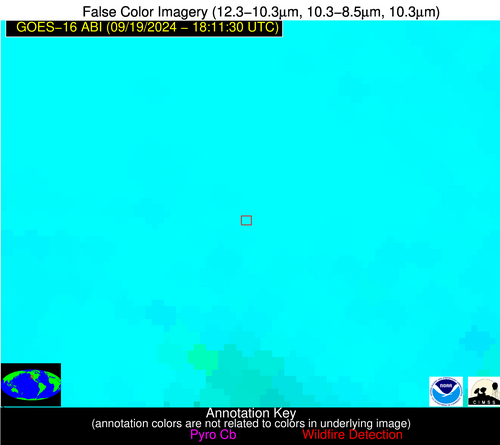
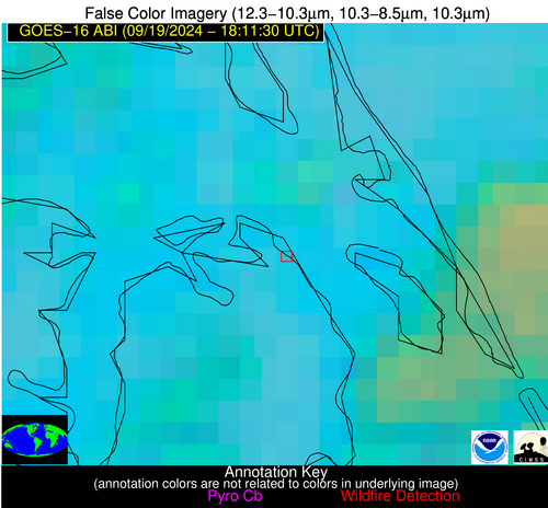
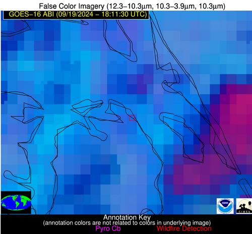
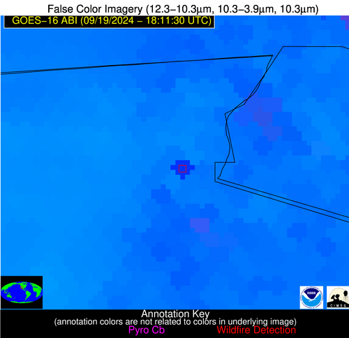
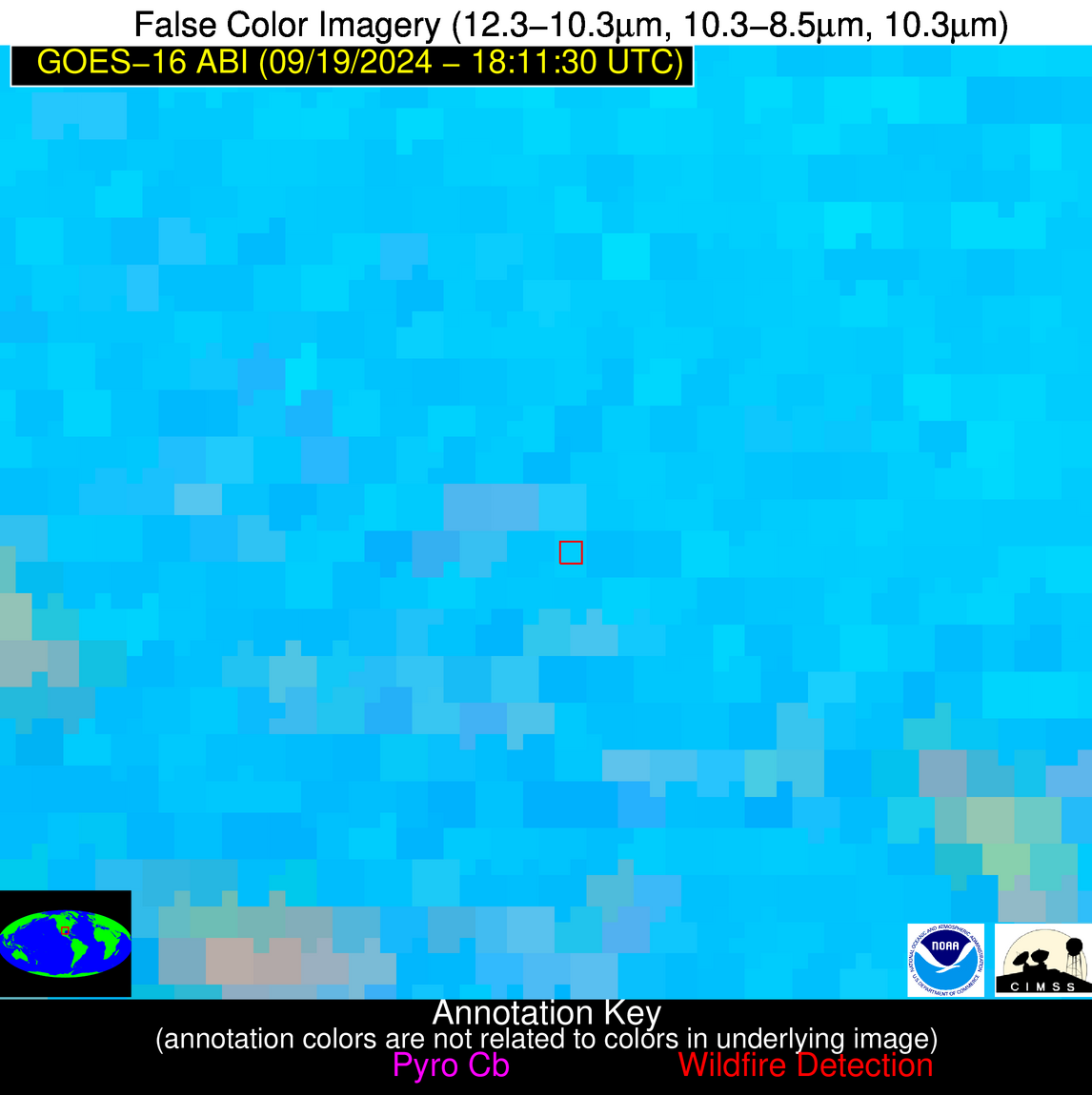
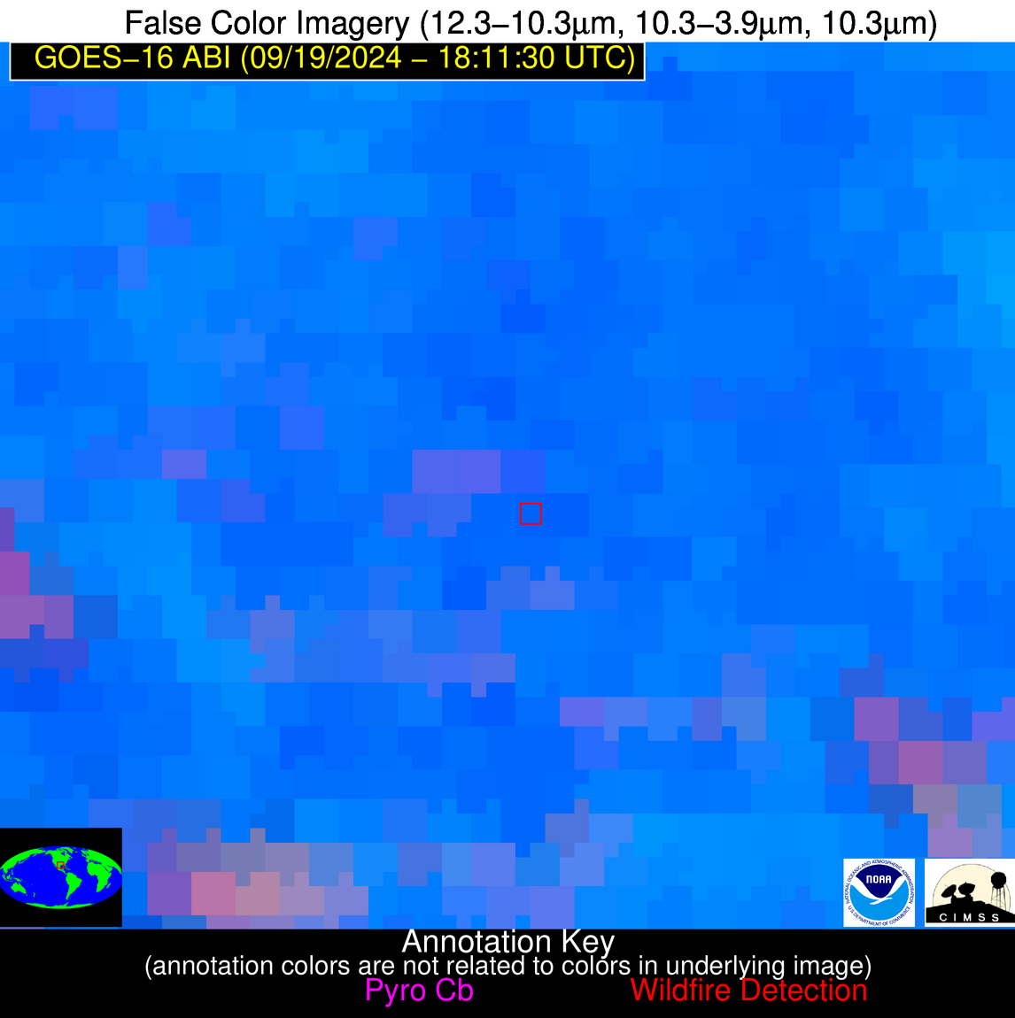
Wildfire Alert Report
| Date: | 2024-09-19 |
|---|---|
| Time: | 18:11:17 |
| Production Date and Time: | 2024-09-19 18:16:04 UTC |
| Primary Instrument: | GOES-16 ABI |
| Wmo Spacecraft Id: | 152 |
| Location/orbit: | GEO |
| L1 File: | OR_ABI-L1b-RadC-M6C14_G16_s20242631811171_e20242631813544_c20242631814052.nc |
| L1 File(s) - Temporal | OR_ABI-L1b-RadC-M6C14_G16_s20242631806171_e20242631808544_c20242631809007.nc |
| Number Of Thermal Anomaly Alerts: | 4 |
Possible Wildfire
| Basic Information | |
|---|---|
| State/Province(s) | CA |
| Country/Countries | USA |
| County/Locality(s) | Sacramento County, CA |
| NWS WFO | Sacramento CA |
| Identification Method | Enhanced Contextual (Clear) |
| Mean Object Date/Time | 2024-09-19 18:11:48UTC |
| Radiative Center (Lat, Lon): | 38.300°, -121.140° |
| Nearby Counties (meeting alert criteria): |
|
| Total Radiative Power Anomaly | n/a |
| Total Radiative Power | 53.87 MW |
| Map: | |
| Additional Information | |
| Alert Status | New Feature |
| Type of Event | Nominal Risk |
| Event Priority Ranking | 4 |
| Maximum Observed BT (3.9 um) | 309.36 K |
| Observed - Background BT (3.9 um) | 4.66 K |
| BT Anomaly (3.9 um) | 2.96 K |
| Maximum Observed - Clear RTM BT (3.9 um) | 12.99 K |
| Maximum Observed BTD (3.9-10/11/12 um) | 20.61 K |
| Observed - Background BTD (3.9-10/11/12 um) | 4.39 K |
| BTD Anomaly (3.9-10/11/12 um) | 3.83 K |
| Similar Pixel Count | 25 |
| BT Time Tendency (3.9 um) | 1.70 K |
| Image Interval | 5.00 minutes |
| Fraction of Surrounding LWIR Pixels that are Colder | 0.71 |
| Fraction of Surrounding Red Channel Pixels that are Brighter | 0.95 |
| Maximum Radiative Power | 30.51 MW |
| Maximum Radiative Power Uncertainty | 0.00 MW |
| Total Radiative Power Uncertainty | 0.00 MW |
| Mean Viewing Angle | 65.20° |
| Mean Solar Zenith Angle | 44.30° |
| Mean Glint Angle | 107.40° |
| Water Fraction | 0.00 |
| Total Pixel Area | 31.10 km2 |
| Latest Satellite Imagery: | |
| View all event imagery » | |
Possible Wildfire
| Basic Information | |
|---|---|
| State/Province(s) | NC |
| Country/Countries | USA |
| County/Locality(s) | Dare County, NC |
| NWS WFO | Newport/Morehead City NC |
| Identification Method | Enhanced Contextual (Clear) |
| Mean Object Date/Time | 2024-09-19 18:11:52UTC |
| Radiative Center (Lat, Lon): | 35.930°, -75.800° |
| Nearby Counties (meeting alert criteria): |
|
| Total Radiative Power Anomaly | n/a |
| Total Radiative Power | 8.34 MW |
| Map: | |
| Additional Information | |
| Alert Status | New Feature |
| Type of Event | Nominal Risk |
| Event Priority Ranking | 4 |
| Maximum Observed BT (3.9 um) | 303.80 K |
| Observed - Background BT (3.9 um) | 4.15 K |
| BT Anomaly (3.9 um) | 2.18 K |
| Maximum Observed - Clear RTM BT (3.9 um) | 9.35 K |
| Maximum Observed BTD (3.9-10/11/12 um) | 20.05 K |
| Observed - Background BTD (3.9-10/11/12 um) | 3.73 K |
| BTD Anomaly (3.9-10/11/12 um) | 1.78 K |
| Similar Pixel Count | 25 |
| BT Time Tendency (3.9 um) | 2.40 K |
| Image Interval | 5.00 minutes |
| Fraction of Surrounding LWIR Pixels that are Colder | 0.77 |
| Fraction of Surrounding Red Channel Pixels that are Brighter | 0.82 |
| Maximum Radiative Power | 8.34 MW |
| Maximum Radiative Power Uncertainty | 0.00 MW |
| Total Radiative Power Uncertainty | 0.00 MW |
| Mean Viewing Angle | 41.90° |
| Mean Solar Zenith Angle | 38.70° |
| Mean Glint Angle | 76.90° |
| Water Fraction | 0.00 |
| Total Pixel Area | 5.80 km2 |
| Latest Satellite Imagery: | |
| View all event imagery » | |
Possible Wildfire
| Basic Information | |
|---|---|
| State/Province(s) | Unknown |
| Country/Countries | Mexico |
| County/Locality(s) | Mexico |
| NWS WFO | N/A |
| Identification Method | Enhanced Contextual (Cloud) |
| Mean Object Date/Time | 2024-09-19 18:12:18UTC |
| Radiative Center (Lat, Lon): | 32.520°, -114.870° |
| Nearby Counties (meeting alert criteria): |
|
| Total Radiative Power Anomaly | n/a |
| Total Radiative Power | 79.66 MW |
| Map: | |
| Additional Information | |
| Alert Status | New Feature |
| Type of Event | Nominal Risk |
| Event Priority Ranking | 4 |
| Maximum Observed BT (3.9 um) | 326.03 K |
| Observed - Background BT (3.9 um) | 9.90 K |
| BT Anomaly (3.9 um) | 8.34 K |
| Maximum Observed - Clear RTM BT (3.9 um) | 18.51 K |
| Maximum Observed BTD (3.9-10/11/12 um) | 29.39 K |
| Observed - Background BTD (3.9-10/11/12 um) | 10.50 K |
| BTD Anomaly (3.9-10/11/12 um) | 7.90 K |
| Similar Pixel Count | 0 |
| BT Time Tendency (3.9 um) | 7.50 K |
| Image Interval | 5.00 minutes |
| Fraction of Surrounding LWIR Pixels that are Colder | 0.47 |
| Fraction of Surrounding Red Channel Pixels that are Brighter | 0.44 |
| Maximum Radiative Power | 79.66 MW |
| Maximum Radiative Power Uncertainty | 0.00 MW |
| Total Radiative Power Uncertainty | 0.00 MW |
| Mean Viewing Angle | 57.10° |
| Mean Solar Zenith Angle | 36.60° |
| Mean Glint Angle | 91.70° |
| Water Fraction | 0.00 |
| Total Pixel Area | 10.00 km2 |
| Latest Satellite Imagery: | |
| View all event imagery » | |
Possible Wildfire
| Basic Information | |
|---|---|
| State/Province(s) | TX |
| Country/Countries | USA |
| County/Locality(s) | Wharton County, TX |
| NWS WFO | Houston/Galveston TX |
| Identification Method | Enhanced Contextual (Clear) |
| Mean Object Date/Time | 2024-09-19 18:12:50UTC |
| Radiative Center (Lat, Lon): | 29.070°, -96.370° |
| Nearby Counties (meeting alert criteria): |
|
| Total Radiative Power Anomaly | n/a |
| Total Radiative Power | 10.64 MW |
| Map: | |
| Additional Information | |
| Alert Status | New Feature |
| Type of Event | Nominal Risk |
| Event Priority Ranking | 4 |
| Maximum Observed BT (3.9 um) | 316.58 K |
| Observed - Background BT (3.9 um) | 3.08 K |
| BT Anomaly (3.9 um) | 1.43 K |
| Maximum Observed - Clear RTM BT (3.9 um) | 9.06 K |
| Maximum Observed BTD (3.9-10/11/12 um) | 23.82 K |
| Observed - Background BTD (3.9-10/11/12 um) | 2.86 K |
| BTD Anomaly (3.9-10/11/12 um) | 1.72 K |
| Similar Pixel Count | 25 |
| BT Time Tendency (3.9 um) | 2.40 K |
| Image Interval | 5.00 minutes |
| Fraction of Surrounding LWIR Pixels that are Colder | 0.77 |
| Fraction of Surrounding Red Channel Pixels that are Brighter | 0.76 |
| Maximum Radiative Power | 10.64 MW |
| Maximum Radiative Power Uncertainty | 0.00 MW |
| Total Radiative Power Uncertainty | 0.00 MW |
| Mean Viewing Angle | 41.30° |
| Mean Solar Zenith Angle | 27.80° |
| Mean Glint Angle | 65.70° |
| Water Fraction | 0.00 |
| Total Pixel Area | 6.00 km2 |
| Latest Satellite Imagery: | |
| View all event imagery » | |
