Jan 2026: Due to an ongoing data center cooling system construction project, NGFS data outages may occur with little or no notice.
Wildfire Alert Report
| Date: | 2024-09-12 |
|---|---|
| Time: | 17:16:17 |
| Production Date and Time: | 2024-09-12 17:21:02 UTC |
| Primary Instrument: | GOES-16 ABI |
| Wmo Spacecraft Id: | 152 |
| Location/orbit: | GEO |
| L1 File: | OR_ABI-L1b-RadC-M6C14_G16_s20242561716173_e20242561718546_c20242561719017.nc |
| L1 File(s) - Temporal | OR_ABI-L1b-RadC-M6C14_G16_s20242561711173_e20242561713546_c20242561714021.nc |
| Number Of Thermal Anomaly Alerts: | 5 |
Possible Wildfire
| Basic Information | |
|---|---|
| State/Province(s) | MN |
| Country/Countries | USA |
| County/Locality(s) | Roseau County, MN |
| NWS WFO | Grand Forks ND |
| Identification Method | Enhanced Contextual (Clear) |
| Mean Object Date/Time | 2024-09-12 17:16:21UTC |
| Radiative Center (Lat, Lon): | 48.770000°, -95.850000° |
| Nearby Counties (meeting alert criteria): |
|
| Total Radiative Power Anomaly | n/a |
| Total Radiative Power | 24.05 MW |
| Map: | |
| Additional Information | |
| Alert Status | New Feature |
| Type of Event | Nominal Risk |
| Event Priority Ranking | 4 |
| Maximum Observed BT (3.9 um) | 306.97 K |
| Observed - Background BT (3.9 um) | 5.89 K |
| BT Anomaly (3.9 um) | 2.92 K |
| Maximum Observed - Clear RTM BT (3.9 um) | 10.26 K |
| Maximum Observed BTD (3.9-10/11/12 um) | 14.94 K |
| Observed - Background BTD (3.9-10/11/12 um) | 5.47 K |
| BTD Anomaly (3.9-10/11/12 um) | 4.43 K |
| Similar Pixel Count | 23 |
| BT Time Tendency (3.9 um) | 4.60 K |
| Image Interval | 5.00 minutes |
| Fraction of Surrounding LWIR Pixels that are Colder | 0.64 |
| Fraction of Surrounding Red Channel Pixels that are Brighter | 0.89 |
| Maximum Radiative Power | 24.05 MW |
| Maximum Radiative Power Uncertainty | 0.00 MW |
| Total Radiative Power Uncertainty | 0.00 MW |
| Mean Viewing Angle | 59.70° |
| Mean Solar Zenith Angle | 46.60° |
| Mean Glint Angle | 106.20° |
| Water Fraction | 0.00 |
| Total Pixel Area | 9.90 km2 |
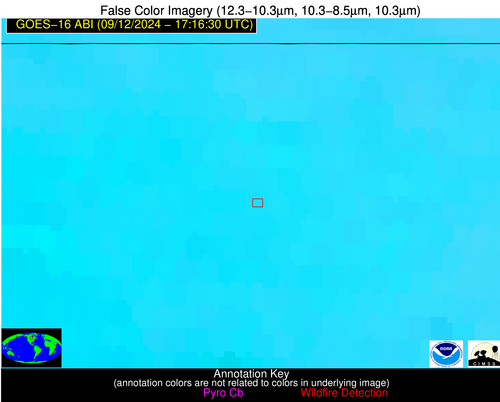
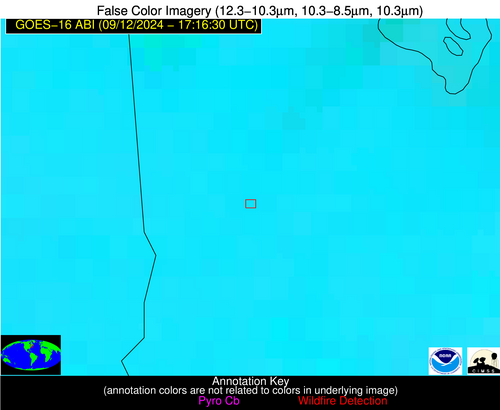
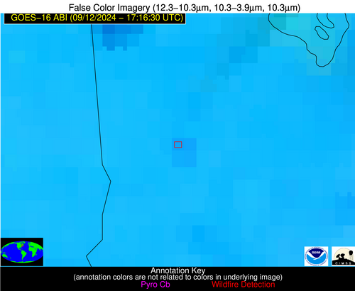
| Latest Satellite Imagery: | |
| View all event imagery » | |
Possible Wildfire
| Basic Information | |
|---|---|
| State/Province(s) | ME |
| Country/Countries | USA |
| County/Locality(s) | York County, ME |
| NWS WFO | Gray ME |
| Identification Method | Enhanced Contextual (Clear) |
| Mean Object Date/Time | 2024-09-12 17:16:23UTC |
| Radiative Center (Lat, Lon): | 43.620000°, -70.810000° |
| Nearby Counties (meeting alert criteria): |
|
| Total Radiative Power Anomaly | n/a |
| Total Radiative Power | 20.85 MW |
| Map: | |
| Additional Information | |
| Alert Status | New Feature |
| Type of Event | Nominal Risk |
| Event Priority Ranking | 4 |
| Maximum Observed BT (3.9 um) | 301.28 K |
| Observed - Background BT (3.9 um) | 2.91 K |
| BT Anomaly (3.9 um) | 3.24 K |
| Maximum Observed - Clear RTM BT (3.9 um) | 7.66 K |
| Maximum Observed BTD (3.9-10/11/12 um) | 11.85 K |
| Observed - Background BTD (3.9-10/11/12 um) | 3.28 K |
| BTD Anomaly (3.9-10/11/12 um) | 6.77 K |
| Similar Pixel Count | 25 |
| BT Time Tendency (3.9 um) | 0.80 K |
| Image Interval | 5.00 minutes |
| Fraction of Surrounding LWIR Pixels that are Colder | 0.39 |
| Fraction of Surrounding Red Channel Pixels that are Brighter | 1.00 |
| Maximum Radiative Power | 10.85 MW |
| Maximum Radiative Power Uncertainty | 0.00 MW |
| Total Radiative Power Uncertainty | 0.00 MW |
| Mean Viewing Angle | 50.80° |
| Mean Solar Zenith Angle | 40.30° |
| Mean Glint Angle | 90.80° |
| Water Fraction | 0.00 |
| Total Pixel Area | 14.10 km2 |
| Latest Satellite Imagery: | |
| View all event imagery » | |
Possible Wildfire
| Basic Information | |
|---|---|
| State/Province(s) | LA |
| Country/Countries | USA |
| County/Locality(s) | Sabine Parish, LA |
| NWS WFO | Shreveport LA |
| Identification Method | Enhanced Contextual (Clear) |
| Mean Object Date/Time | 2024-09-12 17:17:20UTC |
| Radiative Center (Lat, Lon): | 31.840000°, -93.460000° |
| Nearby Counties (meeting alert criteria): |
|
| Total Radiative Power Anomaly | n/a |
| Total Radiative Power | 9.89 MW |
| Map: | |
| Additional Information | |
| Alert Status | New Feature |
| Type of Event | Nominal Risk |
| Event Priority Ranking | 4 |
| Maximum Observed BT (3.9 um) | 304.25 K |
| Observed - Background BT (3.9 um) | 4.73 K |
| BT Anomaly (3.9 um) | 4.42 K |
| Maximum Observed - Clear RTM BT (3.9 um) | 14.35 K |
| Maximum Observed BTD (3.9-10/11/12 um) | 20.90 K |
| Observed - Background BTD (3.9-10/11/12 um) | 4.58 K |
| BTD Anomaly (3.9-10/11/12 um) | 4.69 K |
| Similar Pixel Count | 25 |
| BT Time Tendency (3.9 um) | 2.20 K |
| Image Interval | 5.00 minutes |
| Fraction of Surrounding LWIR Pixels that are Colder | 0.51 |
| Fraction of Surrounding Red Channel Pixels that are Brighter | 1.00 |
| Maximum Radiative Power | 9.89 MW |
| Maximum Radiative Power Uncertainty | 0.00 MW |
| Total Radiative Power Uncertainty | 0.00 MW |
| Mean Viewing Angle | 42.20° |
| Mean Solar Zenith Angle | 30.40° |
| Mean Glint Angle | 72.60° |
| Water Fraction | 0.00 |
| Total Pixel Area | 6.00 km2 |
| Latest Satellite Imagery: | |
| View all event imagery » | |
Possible Wildfire
| Basic Information | |
|---|---|
| State/Province(s) | TX |
| Country/Countries | USA |
| County/Locality(s) | Polk County, TX |
| NWS WFO | Houston/Galveston TX |
| Identification Method | Enhanced Contextual (Clear) |
| Mean Object Date/Time | 2024-09-12 17:17:20UTC |
| Radiative Center (Lat, Lon): | 30.640000°, -94.960000° |
| Nearby Counties (meeting alert criteria): |
|
| Total Radiative Power Anomaly | n/a |
| Total Radiative Power | 1.22 MW |
| Map: | |
| Additional Information | |
| Alert Status | New Feature |
| Type of Event | Nominal Risk |
| Event Priority Ranking | 4 |
| Maximum Observed BT (3.9 um) | 305.36 K |
| Observed - Background BT (3.9 um) | 4.72 K |
| BT Anomaly (3.9 um) | 1.92 K |
| Maximum Observed - Clear RTM BT (3.9 um) | 9.45 K |
| Maximum Observed BTD (3.9-10/11/12 um) | 21.00 K |
| Observed - Background BTD (3.9-10/11/12 um) | 4.53 K |
| BTD Anomaly (3.9-10/11/12 um) | 2.34 K |
| Similar Pixel Count | 25 |
| BT Time Tendency (3.9 um) | 1.00 K |
| Image Interval | 5.00 minutes |
| Fraction of Surrounding LWIR Pixels that are Colder | 0.62 |
| Fraction of Surrounding Red Channel Pixels that are Brighter | 0.98 |
| Maximum Radiative Power | 1.22 MW |
| Maximum Radiative Power Uncertainty | 0.00 MW |
| Total Radiative Power Uncertainty | 0.00 MW |
| Mean Viewing Angle | 41.90° |
| Mean Solar Zenith Angle | 30.00° |
| Mean Glint Angle | 71.80° |
| Water Fraction | 0.00 |
| Total Pixel Area | 6.00 km2 |
| Latest Satellite Imagery: | |
| View all event imagery » | |
Possible Wildfire
| Basic Information | |
|---|---|
| State/Province(s) | FL |
| Country/Countries | USA |
| County/Locality(s) | Lee County, FL |
| NWS WFO | Tampa Bay Ruskin FL |
| Identification Method | Enhanced Contextual (Clear) |
| Mean Object Date/Time | 2024-09-12 17:17:52UTC |
| Radiative Center (Lat, Lon): | 26.570000°, -82.000000° |
| Nearby Counties (meeting alert criteria): |
|
| Total Radiative Power Anomaly | n/a |
| Total Radiative Power | 28.35 MW |
| Map: | |
| Additional Information | |
| Alert Status | New Feature |
| Type of Event | Likely an Urban Source |
| Event Priority Ranking | 5 |
| Maximum Observed BT (3.9 um) | 312.14 K |
| Observed - Background BT (3.9 um) | 7.76 K |
| BT Anomaly (3.9 um) | 2.45 K |
| Maximum Observed - Clear RTM BT (3.9 um) | 8.34 K |
| Maximum Observed BTD (3.9-10/11/12 um) | 26.70 K |
| Observed - Background BTD (3.9-10/11/12 um) | 8.14 K |
| BTD Anomaly (3.9-10/11/12 um) | 3.00 K |
| Similar Pixel Count | 17 |
| BT Time Tendency (3.9 um) | 1.50 K |
| Image Interval | 5.00 minutes |
| Fraction of Surrounding LWIR Pixels that are Colder | 0.31 |
| Fraction of Surrounding Red Channel Pixels that are Brighter | 0.69 |
| Maximum Radiative Power | 28.35 MW |
| Maximum Radiative Power Uncertainty | 0.00 MW |
| Total Radiative Power Uncertainty | 0.00 MW |
| Mean Viewing Angle | 32.10° |
| Mean Solar Zenith Angle | 22.50° |
| Mean Glint Angle | 54.40° |
| Water Fraction | 0.00 |
| Total Pixel Area | 5.00 km2 |
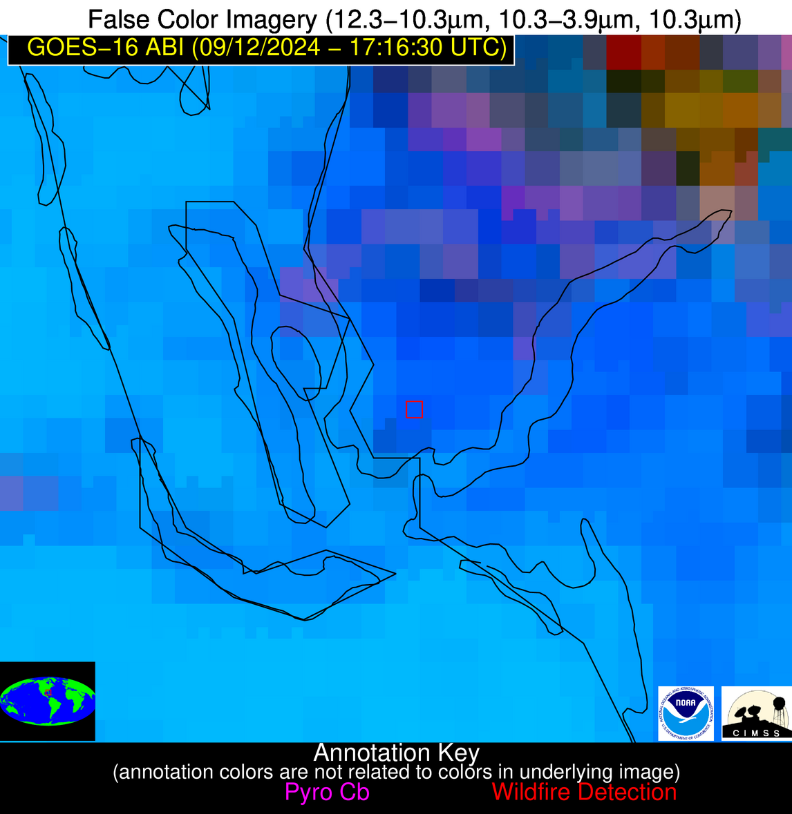
| Latest Satellite Imagery: | |
| View all event imagery » | |


