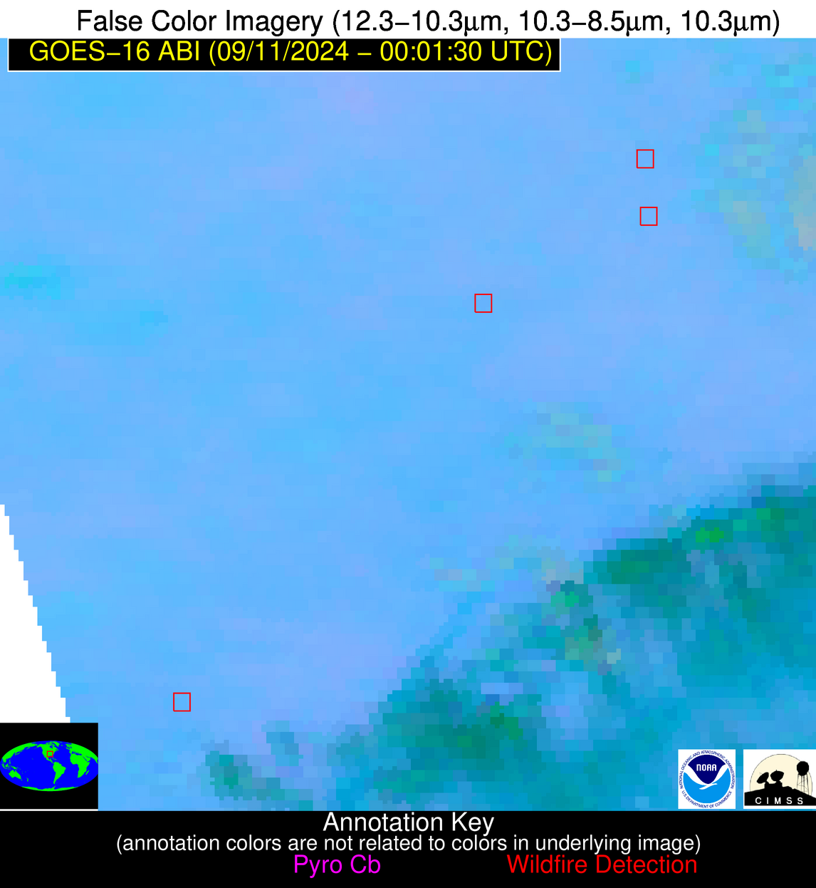
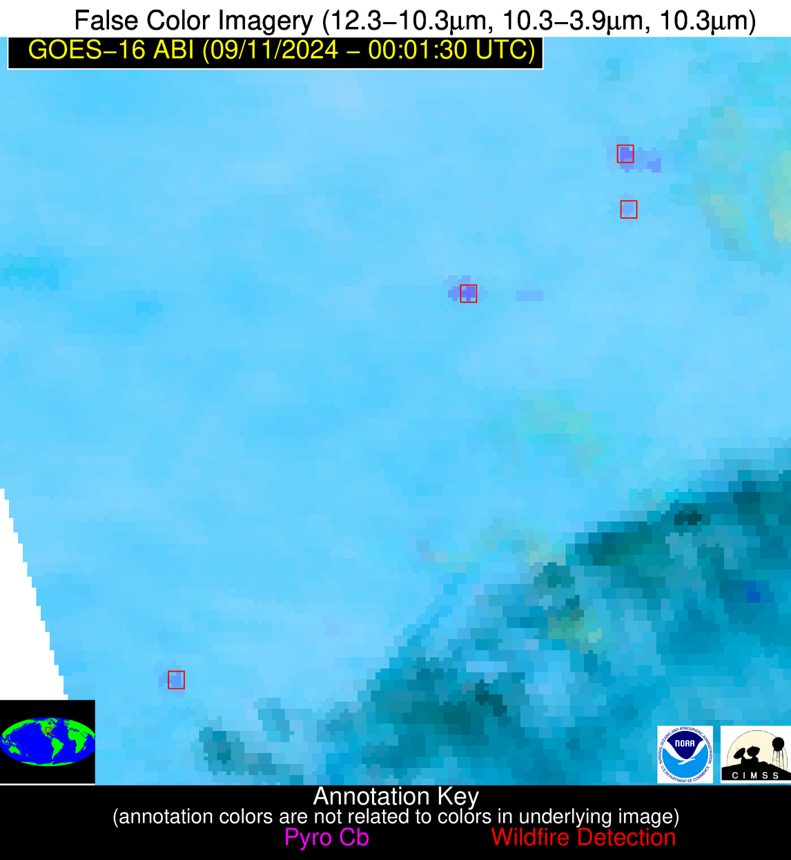
Please consider accessing NGFS detections and satellite imagery through the NOAA/NESDIS Wildland Fire Data Portal: https://fire.data.nesdis.noaa.gov/map/
Wildfire Notification Report
| Date: | 2024-09-11 |
|---|---|
| Time: | 00:01:25 |
| Production Date and Time: | 2024-09-11 00:02:01 UTC |
| Primary Instrument: | GOES-16 ABI |
| Wmo Spacecraft Id: | 152 |
| Location/orbit: | GEO |
| L1 File: | OR_ABI-L1b-RadM2-M6C14_G16_s20242550001251_e20242550001308_c20242550001365.nc |
| L1 File(s) - Temporal | OR_ABI-L1b-RadM2-M6C14_G16_s20242550000280_e20242550000337_c20242550000376.nc |
| Number Of Thermal Anomaly Notifications: | 4 |
Possible Wildfire
| Basic Information | |
|---|---|
| State/Province(s) | AR |
| Country/Countries | USA |
| County/Locality(s) | Jackson County, AR |
| NWS WFO | Little Rock AR |
| Identification Method | Enhanced Contextual (Clear) |
| Mean Object Date/Time | 2024-09-11 00:01:29UTC |
| Radiative Center (Lat, Lon): | 35.870000°, -91.130000° |
| Nearby Counties (meeting notification criteria): |
|
| Total Radiative Power Anomaly | n/a |
| Total Radiative Power | 39.35 MW |
| Map: | |
| Additional Information | |
| Notification Status | New Feature |
| Type of Event | Nominal Risk |
| Event Priority Ranking | 4 |
| Maximum Observed BT (3.9 um) | 306.20 K |
| Observed - Background BT (3.9 um) | 12.47 K |
| BT Anomaly (3.9 um) | 18.94 K |
| Maximum Observed - Clear RTM BT (3.9 um) | 11.47 K |
| Maximum Observed BTD (3.9-10/11/12 um) | 15.67 K |
| Observed - Background BTD (3.9-10/11/12 um) | 12.32 K |
| BTD Anomaly (3.9-10/11/12 um) | 19.66 K |
| Similar Pixel Count | 3 |
| BT Time Tendency (3.9 um) | 1.40 K |
| Image Interval | 1.00 minutes |
| Fraction of Surrounding LWIR Pixels that are Colder | 0.56 |
| Fraction of Surrounding Red Channel Pixels that are Brighter | 0.25 |
| Maximum Radiative Power | 39.35 MW |
| Maximum Radiative Power Uncertainty | 0.00 MW |
| Total Radiative Power Uncertainty | 0.00 MW |
| Mean Viewing Angle | 45.20° |
| Mean Solar Zenith Angle | 87.40° |
| Mean Glint Angle | 67.50° |
| Water Fraction | 0.00 |
| Total Pixel Area | 6.40 km2 |
| Latest Satellite Imagery: | |
| View all event imagery » | |
Possible Wildfire
| Basic Information | |
|---|---|
| State/Province(s) | AR |
| Country/Countries | USA |
| County/Locality(s) | Jackson County, AR |
| NWS WFO | Little Rock AR |
| Identification Method | Enhanced Contextual (Clear) |
| Mean Object Date/Time | 2024-09-11 00:01:29UTC |
| Radiative Center (Lat, Lon): | 35.740000°, -91.130000° |
| Nearby Counties (meeting notification criteria): |
|
| Total Radiative Power Anomaly | n/a |
| Total Radiative Power | 14.22 MW |
| Map: | |
| Additional Information | |
| Notification Status | New Feature |
| Type of Event | Nominal Risk |
| Event Priority Ranking | 4 |
| Maximum Observed BT (3.9 um) | 298.93 K |
| Observed - Background BT (3.9 um) | 5.02 K |
| BT Anomaly (3.9 um) | 3.48 K |
| Maximum Observed - Clear RTM BT (3.9 um) | 4.12 K |
| Maximum Observed BTD (3.9-10/11/12 um) | 8.17 K |
| Observed - Background BTD (3.9-10/11/12 um) | 4.68 K |
| BTD Anomaly (3.9-10/11/12 um) | 3.26 K |
| Similar Pixel Count | 1 |
| BT Time Tendency (3.9 um) | 0.30 K |
| Image Interval | 1.00 minutes |
| Fraction of Surrounding LWIR Pixels that are Colder | 0.88 |
| Fraction of Surrounding Red Channel Pixels that are Brighter | 1.00 |
| Maximum Radiative Power | 14.22 MW |
| Maximum Radiative Power Uncertainty | 0.00 MW |
| Total Radiative Power Uncertainty | 0.00 MW |
| Mean Viewing Angle | 45.00° |
| Mean Solar Zenith Angle | 87.40° |
| Mean Glint Angle | 67.50° |
| Water Fraction | 0.00 |
| Total Pixel Area | 6.40 km2 |
| Latest Satellite Imagery: | |
| View all event imagery » | |
Possible Wildfire
| Basic Information | |
|---|---|
| State/Province(s) | NC |
| Country/Countries | USA |
| County/Locality(s) | Cleveland County, NC |
| NWS WFO | Greenville-Spartanburg SC |
| Identification Method | Enhanced Contextual (Clear) |
| Mean Object Date/Time | 2024-09-11 00:01:31UTC |
| Radiative Center (Lat, Lon): | 35.340000°, -81.390000° |
| Nearby Counties (meeting notification criteria): |
|
| Total Radiative Power Anomaly | n/a |
| Total Radiative Power | 4.83 MW |
| Map: | |
| Additional Information | |
| Notification Status | New Feature |
| Type of Event | Nominal Risk |
| Event Priority Ranking | 4 |
| Maximum Observed BT (3.9 um) | 291.56 K |
| Observed - Background BT (3.9 um) | 2.03 K |
| BT Anomaly (3.9 um) | 2.07 K |
| Maximum Observed - Clear RTM BT (3.9 um) | 2.76 K |
| Maximum Observed BTD (3.9-10/11/12 um) | 3.01 K |
| Observed - Background BTD (3.9-10/11/12 um) | 2.23 K |
| BTD Anomaly (3.9-10/11/12 um) | 5.64 K |
| Similar Pixel Count | 1 |
| BT Time Tendency (3.9 um) | 0.10 K |
| Image Interval | 1.00 minutes |
| Fraction of Surrounding LWIR Pixels that are Colder | 0.40 |
| Fraction of Surrounding Red Channel Pixels that are Brighter | 1.00 |
| Maximum Radiative Power | 4.83 MW |
| Maximum Radiative Power Uncertainty | 0.00 MW |
| Total Radiative Power Uncertainty | 0.00 MW |
| Mean Viewing Angle | 41.80° |
| Mean Solar Zenith Angle | 95.40° |
| Mean Glint Angle | 80.90° |
| Water Fraction | 0.00 |
| Total Pixel Area | 5.80 km2 |
| Latest Satellite Imagery: | |
| View all event imagery » | |
Possible Wildfire
| Basic Information | |
|---|---|
| State/Province(s) | AR |
| Country/Countries | USA |
| County/Locality(s) | Lonoke County, AR |
| NWS WFO | Little Rock AR |
| Identification Method | Enhanced Contextual (Clear) |
| Mean Object Date/Time | 2024-09-11 00:01:29UTC |
| Radiative Center (Lat, Lon): | 34.680000°, -91.960000° |
| Nearby Counties (meeting notification criteria): |
|
| Total Radiative Power Anomaly | n/a |
| Total Radiative Power | 19.67 MW |
| Map: | |
| Additional Information | |
| Notification Status | New Feature |
| Type of Event | Nominal Risk |
| Event Priority Ranking | 4 |
| Maximum Observed BT (3.9 um) | 302.04 K |
| Observed - Background BT (3.9 um) | 7.04 K |
| BT Anomaly (3.9 um) | 9.79 K |
| Maximum Observed - Clear RTM BT (3.9 um) | 3.95 K |
| Maximum Observed BTD (3.9-10/11/12 um) | 10.68 K |
| Observed - Background BTD (3.9-10/11/12 um) | 6.66 K |
| BTD Anomaly (3.9-10/11/12 um) | 11.32 K |
| Similar Pixel Count | 2 |
| BT Time Tendency (3.9 um) | 0.60 K |
| Image Interval | 1.00 minutes |
| Fraction of Surrounding LWIR Pixels that are Colder | 0.69 |
| Fraction of Surrounding Red Channel Pixels that are Brighter | 0.69 |
| Maximum Radiative Power | 19.67 MW |
| Maximum Radiative Power Uncertainty | 0.00 MW |
| Total Radiative Power Uncertainty | 0.00 MW |
| Mean Viewing Angle | 44.30° |
| Mean Solar Zenith Angle | 86.80° |
| Mean Glint Angle | 66.40° |
| Water Fraction | 0.00 |
| Total Pixel Area | 6.30 km2 |
| Latest Satellite Imagery: | |
| View all event imagery » | |


