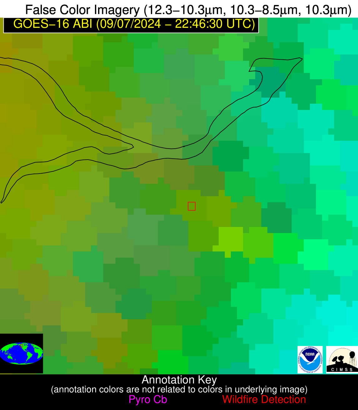
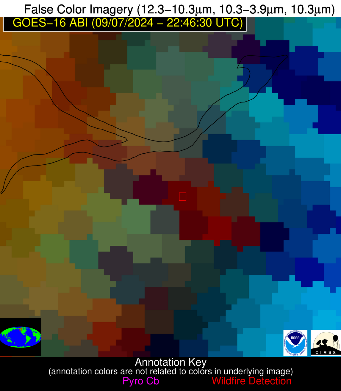
Jan 2026: Due to an ongoing data center cooling system construction project, NGFS data outages may occur with little or no notice. Bitterly cold air in Madison Jan 22-24 increases risk of outages.
Wildfire Alert Report
| Date: | 2024-09-07 |
|---|---|
| Time: | 22:46:17 |
| Production Date and Time: | 2024-09-07 22:50:55 UTC |
| Primary Instrument: | GOES-16 ABI |
| Wmo Spacecraft Id: | 152 |
| Location/orbit: | GEO |
| L1 File: | OR_ABI-L1b-RadC-M6C14_G16_s20242512246171_e20242512248544_c20242512249029.nc |
| L1 File(s) - Temporal | OR_ABI-L1b-RadC-M6C14_G16_s20242512241171_e20242512243544_c20242512244028.nc |
| Number Of Thermal Anomaly Alerts: | 3 |
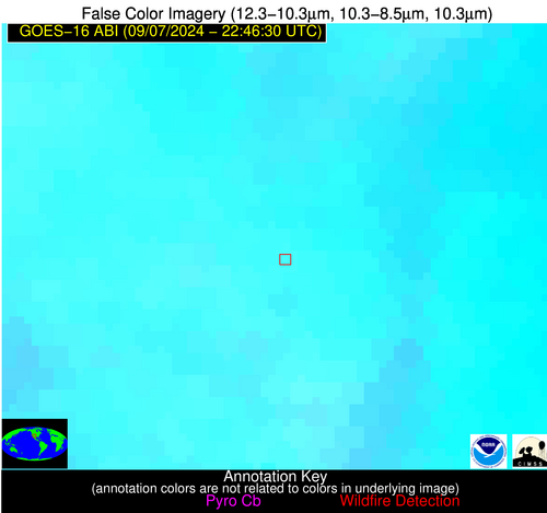
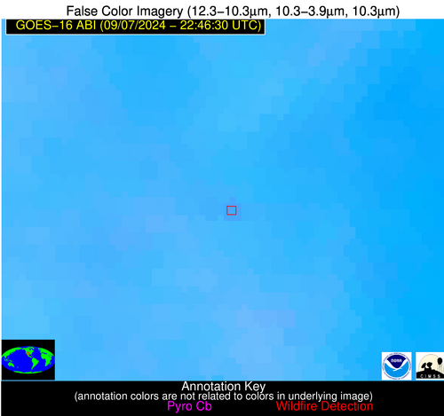
Possible Wildfire
| Basic Information | |
|---|---|
| State/Province(s) | British Columbia |
| Country/Countries | Canada |
| County/Locality(s) | Canada |
| NWS WFO | N/A |
| Identification Method | Enhanced Contextual (Cloud) |
| Mean Object Date/Time | 2024-09-07 22:46:19UTC |
| Radiative Center (Lat, Lon): | 53.350000°, -125.060000° |
| Nearby Counties (meeting alert criteria): |
|
| Total Radiative Power Anomaly | n/a |
| Total Radiative Power | 256.91 MW |
| Map: | |
| Additional Information | |
| Alert Status | New Feature |
| Type of Event | Nominal Risk |
| Event Priority Ranking | 4 |
| Maximum Observed BT (3.9 um) | 273.59 K |
| Observed - Background BT (3.9 um) | 10.70 K |
| BT Anomaly (3.9 um) | 3.26 K |
| Maximum Observed - Clear RTM BT (3.9 um) | -13.94 K |
| Maximum Observed BTD (3.9-10/11/12 um) | 33.14 K |
| Observed - Background BTD (3.9-10/11/12 um) | 10.63 K |
| BTD Anomaly (3.9-10/11/12 um) | 3.42 K |
| Similar Pixel Count | 0 |
| BT Time Tendency (3.9 um) | -4.90 K |
| Image Interval | 5.00 minutes |
| Fraction of Surrounding LWIR Pixels that are Colder | 0.28 |
| Fraction of Surrounding Red Channel Pixels that are Brighter | 0.05 |
| Maximum Radiative Power | 256.91 MW |
| Maximum Radiative Power Uncertainty | 0.00 MW |
| Total Radiative Power Uncertainty | 0.00 MW |
| Mean Viewing Angle | 76.60° |
| Mean Solar Zenith Angle | 56.00° |
| Mean Glint Angle | 72.60° |
| Water Fraction | 0.00 |
| Total Pixel Area | 39.80 km2 |
| Latest Satellite Imagery: | |
| View all event imagery » | |
Possible Wildfire
| Basic Information | |
|---|---|
| State/Province(s) | AR |
| Country/Countries | USA |
| County/Locality(s) | Prairie County, AR |
| NWS WFO | Little Rock AR |
| Identification Method | Enhanced Contextual (Clear) |
| Mean Object Date/Time | 2024-09-07 22:47:21UTC |
| Radiative Center (Lat, Lon): | 34.570000°, -91.520000° |
| Nearby Counties (meeting alert criteria): |
|
| Total Radiative Power Anomaly | n/a |
| Total Radiative Power | 32.03 MW |
| Map: | |
| Additional Information | |
| Alert Status | New Feature |
| Type of Event | Nominal Risk |
| Event Priority Ranking | 4 |
| Maximum Observed BT (3.9 um) | 300.75 K |
| Observed - Background BT (3.9 um) | 5.99 K |
| BT Anomaly (3.9 um) | 12.19 K |
| Maximum Observed - Clear RTM BT (3.9 um) | 8.06 K |
| Maximum Observed BTD (3.9-10/11/12 um) | 9.01 K |
| Observed - Background BTD (3.9-10/11/12 um) | 6.14 K |
| BTD Anomaly (3.9-10/11/12 um) | 26.40 K |
| Similar Pixel Count | 2 |
| BT Time Tendency (3.9 um) | 1.80 K |
| Image Interval | 5.00 minutes |
| Fraction of Surrounding LWIR Pixels that are Colder | 0.35 |
| Fraction of Surrounding Red Channel Pixels that are Brighter | 0.67 |
| Maximum Radiative Power | 16.94 MW |
| Maximum Radiative Power Uncertainty | 0.00 MW |
| Total Radiative Power Uncertainty | 0.00 MW |
| Mean Viewing Angle | 44.00° |
| Mean Solar Zenith Angle | 70.60° |
| Mean Glint Angle | 61.60° |
| Water Fraction | 0.00 |
| Total Pixel Area | 12.50 km2 |
| Latest Satellite Imagery: | |
| View all event imagery » | |
Possible Wildfire
| Basic Information | |
|---|---|
| State/Province(s) | NM |
| Country/Countries | USA |
| County/Locality(s) | Bernalillo County, NM |
| NWS WFO | Albuquerque NM |
| Identification Method | Enhanced Contextual (Clear) |
| Mean Object Date/Time | 2024-09-07 22:47:19UTC |
| Radiative Center (Lat, Lon): | 34.980000°, -106.830000° |
| Nearby Counties (meeting alert criteria): |
|
| Total Radiative Power Anomaly | n/a |
| Total Radiative Power | 11.80 MW |
| Map: | |
| Additional Information | |
| Alert Status | New Feature |
| Type of Event | Nominal Risk |
| Event Priority Ranking | 4 |
| Maximum Observed BT (3.9 um) | 313.04 K |
| Observed - Background BT (3.9 um) | 2.21 K |
| BT Anomaly (3.9 um) | 2.18 K |
| Maximum Observed - Clear RTM BT (3.9 um) | 12.05 K |
| Maximum Observed BTD (3.9-10/11/12 um) | 10.01 K |
| Observed - Background BTD (3.9-10/11/12 um) | 1.92 K |
| BTD Anomaly (3.9-10/11/12 um) | 2.03 K |
| Similar Pixel Count | 25 |
| BT Time Tendency (3.9 um) | 0.40 K |
| Image Interval | 5.00 minutes |
| Fraction of Surrounding LWIR Pixels that are Colder | 0.66 |
| Fraction of Surrounding Red Channel Pixels that are Brighter | 0.98 |
| Maximum Radiative Power | 11.80 MW |
| Maximum Radiative Power Uncertainty | 0.00 MW |
| Total Radiative Power Uncertainty | 0.00 MW |
| Mean Viewing Angle | 53.00° |
| Mean Solar Zenith Angle | 58.40° |
| Mean Glint Angle | 48.40° |
| Water Fraction | 0.00 |
| Total Pixel Area | 8.40 km2 |
| Latest Satellite Imagery: | |
| View all event imagery » | |
