Wildfire Alert Report
| Date: | 2024-09-06 |
|---|---|
| Time: | 21:21:17 |
| Production Date and Time: | 2024-09-06 21:26:06 UTC |
| Primary Instrument: | GOES-16 ABI |
| Wmo Spacecraft Id: | 152 |
| Location/orbit: | GEO |
| L1 File: | OR_ABI-L1b-RadC-M6C14_G16_s20242502121171_e20242502123544_c20242502124047.nc |
| L1 File(s) - Temporal | OR_ABI-L1b-RadC-M6C14_G16_s20242502116171_e20242502118544_c20242502119009.nc |
| Number Of Thermal Anomaly Alerts: | 3 |
Possible Wildfire
| Basic Information | |
|---|---|
| State/Province(s) | WA |
| Country/Countries | USA |
| County/Locality(s) | Whitman County, WA |
| NWS WFO | Spokane WA |
| Identification Method | Enhanced Contextual (Cloud) |
| Mean Object Date/Time | 2024-09-06 21:21:19UTC |
| Radiative Center (Lat, Lon): | 46.750000°, -117.450000° |
| Nearby Counties (meeting alert criteria): |
|
| Total Radiative Power Anomaly | n/a |
| Total Radiative Power | 57.71 MW |
| Map: | |
| Additional Information | |
| Alert Status | New Feature |
| Type of Event | Nominal Risk |
| Event Priority Ranking | 4 |
| Maximum Observed BT (3.9 um) | 316.78 K |
| Observed - Background BT (3.9 um) | 6.35 K |
| BT Anomaly (3.9 um) | 4.78 K |
| Maximum Observed - Clear RTM BT (3.9 um) | 11.77 K |
| Maximum Observed BTD (3.9-10/11/12 um) | 20.70 K |
| Observed - Background BTD (3.9-10/11/12 um) | 6.63 K |
| BTD Anomaly (3.9-10/11/12 um) | 4.71 K |
| Similar Pixel Count | 0 |
| BT Time Tendency (3.9 um) | 3.40 K |
| Image Interval | 5.00 minutes |
| Fraction of Surrounding LWIR Pixels that are Colder | 0.46 |
| Fraction of Surrounding Red Channel Pixels that are Brighter | 1.00 |
| Maximum Radiative Power | 57.71 MW |
| Maximum Radiative Power Uncertainty | 0.00 MW |
| Total Radiative Power Uncertainty | 0.00 MW |
| Mean Viewing Angle | 68.00° |
| Mean Solar Zenith Angle | 45.00° |
| Mean Glint Angle | 78.00° |
| Water Fraction | 0.00 |
| Total Pixel Area | 18.10 km2 |
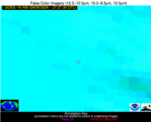
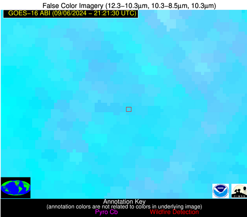
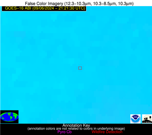
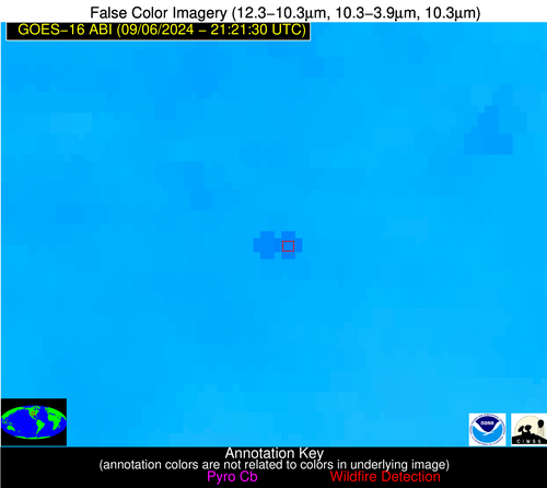
| Latest Satellite Imagery: | |
| View all event imagery » | |
Possible Wildfire
| Basic Information | |
|---|---|
| State/Province(s) | UT |
| Country/Countries | USA |
| County/Locality(s) | Utah County, UT |
| NWS WFO | Salt Lake City UT |
| Identification Method | Enhanced Contextual (Clear) |
| Mean Object Date/Time | 2024-09-06 21:21:49UTC |
| Radiative Center (Lat, Lon): | 40.140000°, -111.740000° |
| Nearby Counties (meeting alert criteria): |
|
| Total Radiative Power Anomaly | n/a |
| Total Radiative Power | 30.02 MW |
| Map: | |
| Additional Information | |
| Alert Status | New Feature |
| Type of Event | Nominal Risk |
| Event Priority Ranking | 4 |
| Maximum Observed BT (3.9 um) | 311.71 K |
| Observed - Background BT (3.9 um) | 5.40 K |
| BT Anomaly (3.9 um) | 2.66 K |
| Maximum Observed - Clear RTM BT (3.9 um) | 6.03 K |
| Maximum Observed BTD (3.9-10/11/12 um) | 13.36 K |
| Observed - Background BTD (3.9-10/11/12 um) | 5.82 K |
| BTD Anomaly (3.9-10/11/12 um) | 5.90 K |
| Similar Pixel Count | 8 |
| BT Time Tendency (3.9 um) | 3.20 K |
| Image Interval | 5.00 minutes |
| Fraction of Surrounding LWIR Pixels that are Colder | 0.34 |
| Fraction of Surrounding Red Channel Pixels that are Brighter | 0.96 |
| Maximum Radiative Power | 30.02 MW |
| Maximum Radiative Power Uncertainty | 0.00 MW |
| Total Radiative Power Uncertainty | 0.00 MW |
| Mean Viewing Angle | 60.00° |
| Mean Solar Zenith Angle | 42.60° |
| Mean Glint Angle | 65.50° |
| Water Fraction | 0.00 |
| Total Pixel Area | 11.20 km2 |
| Latest Satellite Imagery: | |
| View all event imagery » | |
Possible Wildfire
| Basic Information | |
|---|---|
| State/Province(s) | KS |
| Country/Countries | USA |
| County/Locality(s) | Dickinson County, KS |
| NWS WFO | Topeka KS |
| Identification Method | Enhanced Contextual (Cloud) |
| Mean Object Date/Time | 2024-09-06 21:21:50UTC |
| Radiative Center (Lat, Lon): | 38.810000°, -97.200000° |
| Nearby Counties (meeting alert criteria): |
|
| Total Radiative Power Anomaly | n/a |
| Total Radiative Power | 25.12 MW |
| Map: | |
| Additional Information | |
| Alert Status | New Feature |
| Type of Event | Nominal Risk |
| Event Priority Ranking | 4 |
| Maximum Observed BT (3.9 um) | 309.01 K |
| Observed - Background BT (3.9 um) | 7.22 K |
| BT Anomaly (3.9 um) | 4.20 K |
| Maximum Observed - Clear RTM BT (3.9 um) | 11.27 K |
| Maximum Observed BTD (3.9-10/11/12 um) | 17.17 K |
| Observed - Background BTD (3.9-10/11/12 um) | 6.67 K |
| BTD Anomaly (3.9-10/11/12 um) | 5.97 K |
| Similar Pixel Count | 0 |
| BT Time Tendency (3.9 um) | 5.00 K |
| Image Interval | 5.00 minutes |
| Fraction of Surrounding LWIR Pixels that are Colder | 0.75 |
| Fraction of Surrounding Red Channel Pixels that are Brighter | 1.00 |
| Maximum Radiative Power | 25.12 MW |
| Maximum Radiative Power Uncertainty | 0.00 MW |
| Total Radiative Power Uncertainty | 0.00 MW |
| Mean Viewing Angle | 50.70° |
| Mean Solar Zenith Angle | 50.90° |
| Mean Glint Angle | 63.20° |
| Water Fraction | 0.00 |
| Total Pixel Area | 7.50 km2 |
| Latest Satellite Imagery: | |
| View all event imagery » | |


