Jan 2026: Due to an ongoing data center cooling system construction project, NGFS data outages may occur with little or no notice. Bitterly cold air in Madison Jan 22-24 increases risk of outages.
Wildfire Alert Report
| Date: | 2024-09-05 |
|---|---|
| Time: | 17:51:17 |
| Production Date and Time: | 2024-09-05 17:56:04 UTC |
| Primary Instrument: | GOES-16 ABI |
| Wmo Spacecraft Id: | 152 |
| Location/orbit: | GEO |
| L1 File: | OR_ABI-L1b-RadC-M6C14_G16_s20242491751171_e20242491753544_c20242491754042.nc |
| L1 File(s) - Temporal | OR_ABI-L1b-RadC-M6C14_G16_s20242491746171_e20242491748544_c20242491749038.nc |
| Number Of Thermal Anomaly Alerts: | 4 |
Possible Wildfire
| Basic Information | |
|---|---|
| State/Province(s) | ME |
| Country/Countries | USA |
| County/Locality(s) | York County, ME |
| NWS WFO | Gray ME |
| Identification Method | Enhanced Contextual (Clear) |
| Mean Object Date/Time | 2024-09-05 17:51:23UTC |
| Radiative Center (Lat, Lon): | 43.390000°, -70.650000° |
| Nearby Counties (meeting alert criteria): |
|
| Total Radiative Power Anomaly | n/a |
| Total Radiative Power | 10.68 MW |
| Map: | |
| Additional Information | |
| Alert Status | New Feature |
| Type of Event | Nominal Risk |
| Event Priority Ranking | 4 |
| Maximum Observed BT (3.9 um) | 302.74 K |
| Observed - Background BT (3.9 um) | 4.17 K |
| BT Anomaly (3.9 um) | 3.18 K |
| Maximum Observed - Clear RTM BT (3.9 um) | 8.62 K |
| Maximum Observed BTD (3.9-10/11/12 um) | 9.88 K |
| Observed - Background BTD (3.9-10/11/12 um) | 3.40 K |
| BTD Anomaly (3.9-10/11/12 um) | 3.81 K |
| Similar Pixel Count | 11 |
| BT Time Tendency (3.9 um) | 1.50 K |
| Image Interval | 5.00 minutes |
| Fraction of Surrounding LWIR Pixels that are Colder | 0.89 |
| Fraction of Surrounding Red Channel Pixels that are Brighter | 1.00 |
| Maximum Radiative Power | 10.68 MW |
| Maximum Radiative Power Uncertainty | 0.00 MW |
| Total Radiative Power Uncertainty | 0.00 MW |
| Mean Viewing Angle | 50.50° |
| Mean Solar Zenith Angle | 39.70° |
| Mean Glint Angle | 88.20° |
| Water Fraction | 0.00 |
| Total Pixel Area | 7.00 km2 |
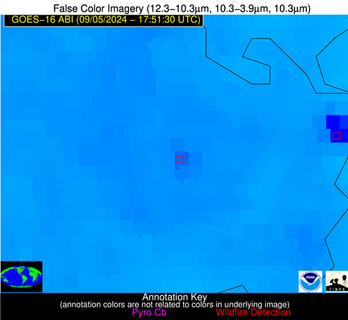
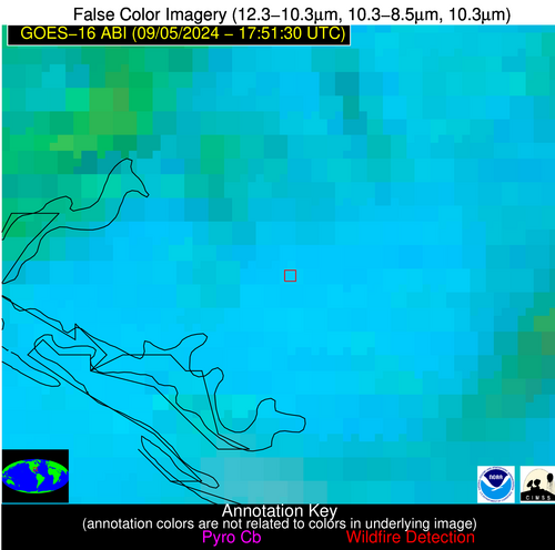
| Latest Satellite Imagery: | |
| View all event imagery » | |
Possible Wildfire
| Basic Information | |
|---|---|
| State/Province(s) | ID |
| Country/Countries | USA |
| County/Locality(s) | Madison County, ID |
| NWS WFO | Pocatello ID |
| Identification Method | Enhanced Contextual (Clear) |
| Mean Object Date/Time | 2024-09-05 17:51:49UTC |
| Radiative Center (Lat, Lon): | 43.860000°, -111.800000° |
| Nearby Counties (meeting alert criteria): |
|
| Total Radiative Power Anomaly | n/a |
| Total Radiative Power | 158.75 MW |
| Map: | |
| Additional Information | |
| Alert Status | New Feature |
| Type of Event | Nominal Risk |
| Event Priority Ranking | 4 |
| Maximum Observed BT (3.9 um) | 317.63 K |
| Observed - Background BT (3.9 um) | 11.48 K |
| BT Anomaly (3.9 um) | 4.51 K |
| Maximum Observed - Clear RTM BT (3.9 um) | 13.83 K |
| Maximum Observed BTD (3.9-10/11/12 um) | 22.51 K |
| Observed - Background BTD (3.9-10/11/12 um) | 11.89 K |
| BTD Anomaly (3.9-10/11/12 um) | 9.26 K |
| Similar Pixel Count | 3 |
| BT Time Tendency (3.9 um) | 10.50 K |
| Image Interval | 5.00 minutes |
| Fraction of Surrounding LWIR Pixels that are Colder | 0.26 |
| Fraction of Surrounding Red Channel Pixels that are Brighter | 0.91 |
| Maximum Radiative Power | 106.13 MW |
| Maximum Radiative Power Uncertainty | 0.00 MW |
| Total Radiative Power Uncertainty | 0.00 MW |
| Mean Viewing Angle | 62.70° |
| Mean Solar Zenith Angle | 42.40° |
| Mean Glint Angle | 104.50° |
| Water Fraction | 0.00 |
| Total Pixel Area | 25.50 km2 |
| Latest Satellite Imagery: | |
| View all event imagery » | |
Possible Wildfire
| Basic Information | |
|---|---|
| State/Province(s) | MO |
| Country/Countries | USA |
| County/Locality(s) | Mississippi County, MO |
| NWS WFO | Paducah KY |
| Identification Method | Enhanced Contextual (Clear) |
| Mean Object Date/Time | 2024-09-05 17:51:51UTC |
| Radiative Center (Lat, Lon): | 36.860000°, -89.430000° |
| Nearby Counties (meeting alert criteria): |
|
| Total Radiative Power Anomaly | n/a |
| Total Radiative Power | 31.79 MW |
| Map: | |
| Additional Information | |
| Alert Status | New Feature |
| Type of Event | Nominal Risk |
| Event Priority Ranking | 4 |
| Maximum Observed BT (3.9 um) | 319.65 K |
| Observed - Background BT (3.9 um) | 7.11 K |
| BT Anomaly (3.9 um) | 3.25 K |
| Maximum Observed - Clear RTM BT (3.9 um) | 12.82 K |
| Maximum Observed BTD (3.9-10/11/12 um) | 23.07 K |
| Observed - Background BTD (3.9-10/11/12 um) | 6.53 K |
| BTD Anomaly (3.9-10/11/12 um) | 4.35 K |
| Similar Pixel Count | 25 |
| BT Time Tendency (3.9 um) | 4.50 K |
| Image Interval | 5.00 minutes |
| Fraction of Surrounding LWIR Pixels that are Colder | 0.77 |
| Fraction of Surrounding Red Channel Pixels that are Brighter | 0.68 |
| Maximum Radiative Power | 31.79 MW |
| Maximum Radiative Power Uncertainty | 0.00 MW |
| Total Radiative Power Uncertainty | 0.00 MW |
| Mean Viewing Angle | 45.50° |
| Mean Solar Zenith Angle | 30.10° |
| Mean Glint Angle | 74.20° |
| Water Fraction | 0.00 |
| Total Pixel Area | 6.40 km2 |
| Latest Satellite Imagery: | |
| View all event imagery » | |
Possible Wildfire
| Basic Information | |
|---|---|
| State/Province(s) | FL |
| Country/Countries | USA |
| County/Locality(s) | Bay County, FL |
| NWS WFO | Tallahassee FL |
| Identification Method | Enhanced Contextual (Clear) |
| Mean Object Date/Time | 2024-09-05 17:52:21UTC |
| Radiative Center (Lat, Lon): | 30.200000°, -85.410000° |
| Nearby Counties (meeting alert criteria): |
|
| Total Radiative Power Anomaly | n/a |
| Total Radiative Power | 5.22 MW |
| Map: | |
| Additional Information | |
| Alert Status | New Feature |
| Type of Event | Nominal Risk |
| Event Priority Ranking | 4 |
| Maximum Observed BT (3.9 um) | 309.88 K |
| Observed - Background BT (3.9 um) | 2.92 K |
| BT Anomaly (3.9 um) | 1.67 K |
| Maximum Observed - Clear RTM BT (3.9 um) | 12.47 K |
| Maximum Observed BTD (3.9-10/11/12 um) | 26.43 K |
| Observed - Background BTD (3.9-10/11/12 um) | 3.74 K |
| BTD Anomaly (3.9-10/11/12 um) | 2.02 K |
| Similar Pixel Count | 25 |
| BT Time Tendency (3.9 um) | 1.00 K |
| Image Interval | 5.00 minutes |
| Fraction of Surrounding LWIR Pixels that are Colder | 0.61 |
| Fraction of Surrounding Red Channel Pixels that are Brighter | 1.00 |
| Maximum Radiative Power | 5.22 MW |
| Maximum Radiative Power Uncertainty | 0.00 MW |
| Total Radiative Power Uncertainty | 0.00 MW |
| Mean Viewing Angle | 37.10° |
| Mean Solar Zenith Angle | 23.50° |
| Mean Glint Angle | 58.90° |
| Water Fraction | 0.00 |
| Total Pixel Area | 5.40 km2 |
| Latest Satellite Imagery: | |
| View all event imagery » | |


