Wildfire Alert Report
| Date: | 2024-09-01 |
|---|---|
| Time: | 18:36:18 |
| Production Date and Time: | 2024-09-01 18:40:47 UTC |
| Primary Instrument: | GOES-18 ABI |
| Wmo Spacecraft Id: | 665 |
| Location/orbit: | GEO |
| L1 File: | OR_ABI-L1b-RadC-M6C14_G18_s20242451836189_e20242451838562_c20242451839026.nc |
| L1 File(s) - Temporal | OR_ABI-L1b-RadC-M6C14_G18_s20242451831189_e20242451833562_c20242451834047.nc |
| Number Of Thermal Anomaly Alerts: | 3 |
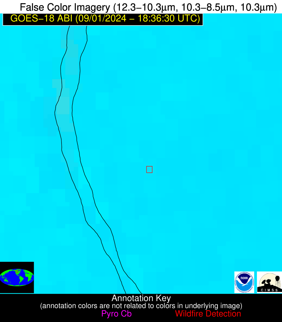
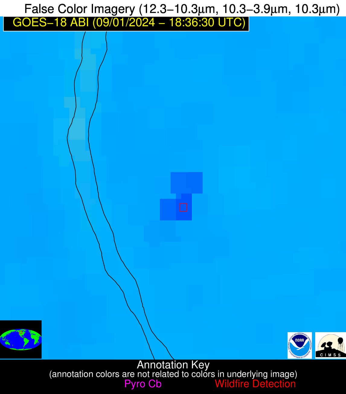
Possible Wildfire
| Basic Information | |
|---|---|
| State/Province(s) | Saskatchewan |
| Country/Countries | Canada |
| County/Locality(s) | Canada |
| NWS WFO | N/A |
| Identification Method | Enhanced Contextual (Cloud) |
| Mean Object Date/Time | 2024-09-01 18:36:25UTC |
| Radiative Center (Lat, Lon): | 51.080000°, -105.000000° |
| Nearby Counties (meeting alert criteria): |
|
| Total Radiative Power Anomaly | n/a |
| Total Radiative Power | 219.46 MW |
| Map: | |
| Additional Information | |
| Alert Status | New Feature |
| Type of Event | Nominal Risk |
| Event Priority Ranking | 4 |
| Maximum Observed BT (3.9 um) | 313.64 K |
| Observed - Background BT (3.9 um) | 11.95 K |
| BT Anomaly (3.9 um) | 8.26 K |
| Maximum Observed - Clear RTM BT (3.9 um) | 16.61 K |
| Maximum Observed BTD (3.9-10/11/12 um) | 23.99 K |
| Observed - Background BTD (3.9-10/11/12 um) | 11.88 K |
| BTD Anomaly (3.9-10/11/12 um) | 20.61 K |
| Similar Pixel Count | 0 |
| BT Time Tendency (3.9 um) | 8.60 K |
| Image Interval | 5.00 minutes |
| Fraction of Surrounding LWIR Pixels that are Colder | 0.62 |
| Fraction of Surrounding Red Channel Pixels that are Brighter | 0.93 |
| Maximum Radiative Power | 91.93 MW |
| Maximum Radiative Power Uncertainty | 0.00 MW |
| Total Radiative Power Uncertainty | 0.00 MW |
| Mean Viewing Angle | 66.20° |
| Mean Solar Zenith Angle | 43.00° |
| Mean Glint Angle | 97.40° |
| Water Fraction | 0.00 |
| Total Pixel Area | 43.10 km2 |
| Latest Satellite Imagery: | |
| View all event imagery » | |
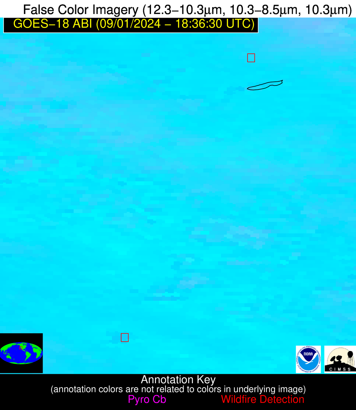
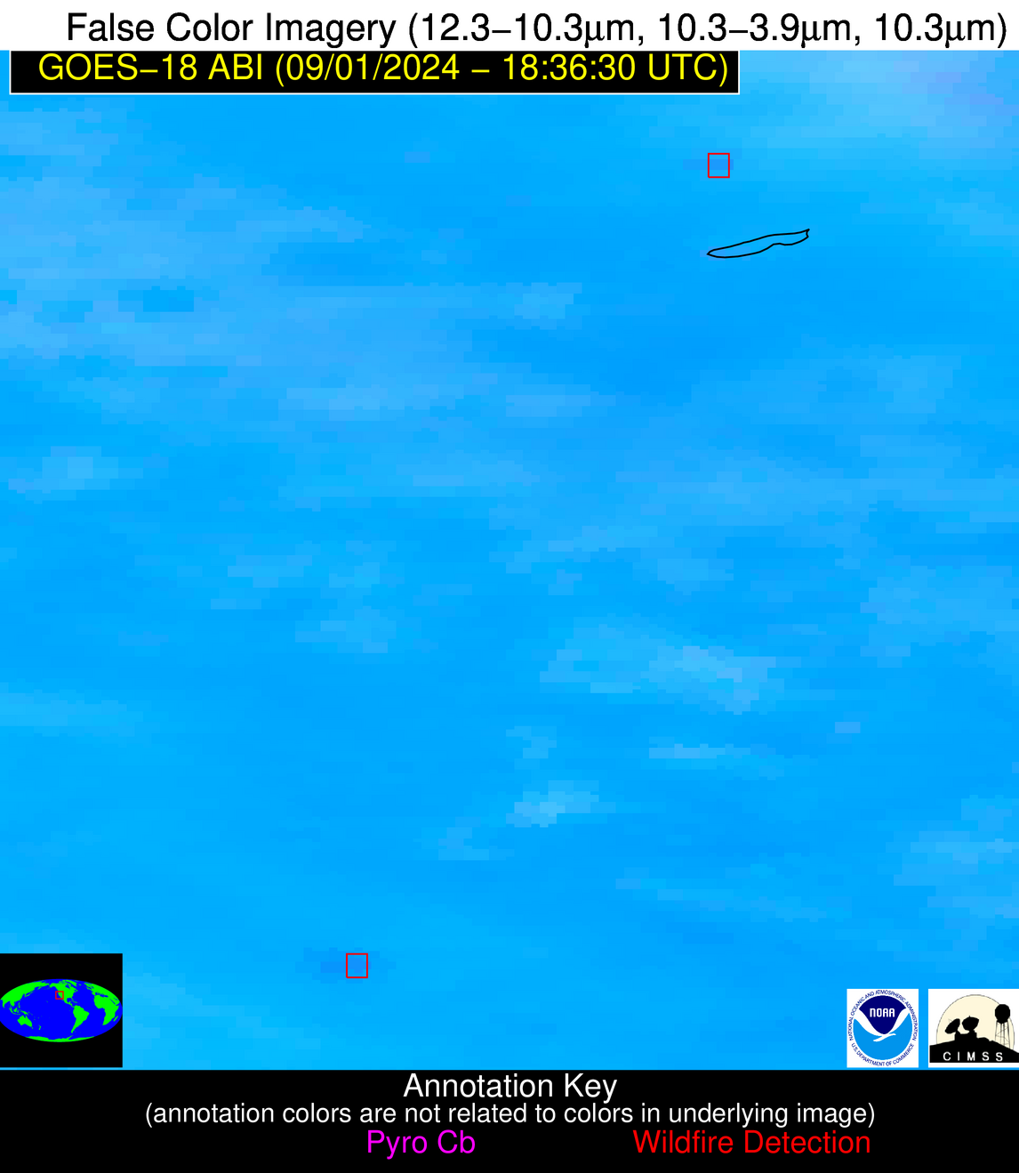
Possible Wildfire
| Basic Information | |
|---|---|
| State/Province(s) | CA |
| Country/Countries | USA |
| County/Locality(s) | Madera County, CA |
| NWS WFO | Hanford CA |
| Identification Method | Enhanced Contextual (Clear) |
| Mean Object Date/Time | 2024-09-01 18:36:54UTC |
| Radiative Center (Lat, Lon): | 37.200000°, -119.680000° |
| Nearby Counties (meeting alert criteria): |
|
| Total Radiative Power Anomaly | n/a |
| Total Radiative Power | 21.00 MW |
| Map: | |
| Additional Information | |
| Alert Status | New Feature |
| Type of Event | Nominal Risk |
| Event Priority Ranking | 4 |
| Maximum Observed BT (3.9 um) | 315.93 K |
| Observed - Background BT (3.9 um) | 2.62 K |
| BT Anomaly (3.9 um) | 1.14 K |
| Maximum Observed - Clear RTM BT (3.9 um) | 8.62 K |
| Maximum Observed BTD (3.9-10/11/12 um) | 13.12 K |
| Observed - Background BTD (3.9-10/11/12 um) | 3.19 K |
| BTD Anomaly (3.9-10/11/12 um) | 2.65 K |
| Similar Pixel Count | 21 |
| BT Time Tendency (3.9 um) | 1.60 K |
| Image Interval | 5.00 minutes |
| Fraction of Surrounding LWIR Pixels that are Colder | 0.37 |
| Fraction of Surrounding Red Channel Pixels that are Brighter | 0.99 |
| Maximum Radiative Power | 21.00 MW |
| Maximum Radiative Power Uncertainty | 0.00 MW |
| Total Radiative Power Uncertainty | 0.00 MW |
| Mean Viewing Angle | 47.10° |
| Mean Solar Zenith Angle | 34.40° |
| Mean Glint Angle | 67.10° |
| Water Fraction | 0.00 |
| Total Pixel Area | 6.70 km2 |
| Latest Satellite Imagery: | |
| View all event imagery » | |
Possible Wildfire
| Basic Information | |
|---|---|
| State/Province(s) | CA |
| Country/Countries | USA |
| County/Locality(s) | San Luis Obispo County, CA |
| NWS WFO | Los Angeles/Oxnard CA |
| Identification Method | Enhanced Contextual (Clear) |
| Mean Object Date/Time | 2024-09-01 18:37:24UTC |
| Radiative Center (Lat, Lon): | 35.370000°, -120.040000° |
| Nearby Counties (meeting alert criteria): |
|
| Total Radiative Power Anomaly | n/a |
| Total Radiative Power | 41.61 MW |
| Map: | |
| Additional Information | |
| Alert Status | New Feature |
| Type of Event | Solar panel (database + spectral) |
| Event Priority Ranking | 5 |
| Maximum Observed BT (3.9 um) | 325.31 K |
| Observed - Background BT (3.9 um) | 3.76 K |
| BT Anomaly (3.9 um) | 3.36 K |
| Maximum Observed - Clear RTM BT (3.9 um) | 12.02 K |
| Maximum Observed BTD (3.9-10/11/12 um) | 14.22 K |
| Observed - Background BTD (3.9-10/11/12 um) | 2.61 K |
| BTD Anomaly (3.9-10/11/12 um) | 7.11 K |
| Similar Pixel Count | 25 |
| BT Time Tendency (3.9 um) | 1.10 K |
| Image Interval | 5.00 minutes |
| Fraction of Surrounding LWIR Pixels that are Colder | 0.98 |
| Fraction of Surrounding Red Channel Pixels that are Brighter | 0.87 |
| Maximum Radiative Power | 24.54 MW |
| Maximum Radiative Power Uncertainty | 0.00 MW |
| Total Radiative Power Uncertainty | 0.00 MW |
| Mean Viewing Angle | 45.10° |
| Mean Solar Zenith Angle | 33.10° |
| Mean Glint Angle | 63.50° |
| Water Fraction | 0.00 |
| Total Pixel Area | 12.80 km2 |
| Latest Satellite Imagery: | |
| View all event imagery » | |


