Wildfire Alert Report
| Date: | 2024-08-29 |
|---|---|
| Time: | 17:36:17 |
| Production Date and Time: | 2024-08-29 17:40:55 UTC |
| Primary Instrument: | GOES-16 ABI |
| Wmo Spacecraft Id: | 152 |
| Location/orbit: | GEO |
| L1 File: | OR_ABI-L1b-RadC-M6C14_G16_s20242421736172_e20242421738545_c20242421739045.nc |
| L1 File(s) - Temporal | OR_ABI-L1b-RadC-M6C14_G16_s20242421731172_e20242421733545_c20242421734029.nc |
| Number Of Thermal Anomaly Alerts: | 3 |
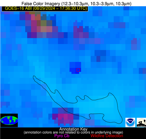
Possible Wildfire
| Basic Information | |
|---|---|
| State/Province(s) | MS |
| Country/Countries | USA |
| County/Locality(s) | Prentiss County, MS |
| NWS WFO | Memphis TN |
| Identification Method | Enhanced Contextual (Clear) |
| Mean Object Date/Time | 2024-08-29 17:37:21UTC |
| Radiative Center (Lat, Lon): | 34.630000°, -88.420000° |
| Nearby Counties (meeting alert criteria): |
|
| Total Radiative Power Anomaly | n/a |
| Total Radiative Power | 29.81 MW |
| Map: | |
| Additional Information | |
| Alert Status | New Feature |
| Type of Event | Nominal Risk |
| Event Priority Ranking | 4 |
| Maximum Observed BT (3.9 um) | 312.98 K |
| Observed - Background BT (3.9 um) | 6.41 K |
| BT Anomaly (3.9 um) | 3.53 K |
| Maximum Observed - Clear RTM BT (3.9 um) | 7.17 K |
| Maximum Observed BTD (3.9-10/11/12 um) | 28.18 K |
| Observed - Background BTD (3.9-10/11/12 um) | 6.57 K |
| BTD Anomaly (3.9-10/11/12 um) | 4.09 K |
| Similar Pixel Count | 25 |
| BT Time Tendency (3.9 um) | 2.00 K |
| Image Interval | 5.00 minutes |
| Fraction of Surrounding LWIR Pixels that are Colder | 0.56 |
| Fraction of Surrounding Red Channel Pixels that are Brighter | 1.00 |
| Maximum Radiative Power | 29.81 MW |
| Maximum Radiative Power Uncertainty | 0.00 MW |
| Total Radiative Power Uncertainty | 0.00 MW |
| Mean Viewing Angle | 42.80° |
| Mean Solar Zenith Angle | 25.50° |
| Mean Glint Angle | 68.00° |
| Water Fraction | 0.00 |
| Total Pixel Area | 6.00 km2 |
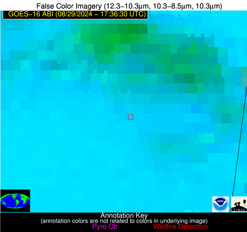
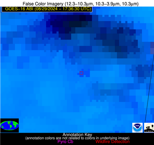
| Latest Satellite Imagery: | |
| View all event imagery » | |
Possible Wildfire
| Basic Information | |
|---|---|
| State/Province(s) | AR |
| Country/Countries | USA |
| County/Locality(s) | Lincoln County, AR |
| NWS WFO | Little Rock AR |
| Identification Method | Enhanced Contextual (Clear) |
| Mean Object Date/Time | 2024-08-29 17:37:20UTC |
| Radiative Center (Lat, Lon): | 34.050000°, -91.520000° |
| Nearby Counties (meeting alert criteria): |
|
| Total Radiative Power Anomaly | n/a |
| Total Radiative Power | 53.69 MW |
| Map: | |
| Additional Information | |
| Alert Status | New Feature |
| Type of Event | Nominal Risk |
| Event Priority Ranking | 4 |
| Maximum Observed BT (3.9 um) | 318.17 K |
| Observed - Background BT (3.9 um) | 9.82 K |
| BT Anomaly (3.9 um) | 4.75 K |
| Maximum Observed - Clear RTM BT (3.9 um) | 12.29 K |
| Maximum Observed BTD (3.9-10/11/12 um) | 36.44 K |
| Observed - Background BTD (3.9-10/11/12 um) | 9.85 K |
| BTD Anomaly (3.9-10/11/12 um) | 3.66 K |
| Similar Pixel Count | 23 |
| BT Time Tendency (3.9 um) | 5.40 K |
| Image Interval | 5.00 minutes |
| Fraction of Surrounding LWIR Pixels that are Colder | 0.69 |
| Fraction of Surrounding Red Channel Pixels that are Brighter | 0.41 |
| Maximum Radiative Power | 53.69 MW |
| Maximum Radiative Power Uncertainty | 0.00 MW |
| Total Radiative Power Uncertainty | 0.00 MW |
| Mean Viewing Angle | 43.50° |
| Mean Solar Zenith Angle | 25.60° |
| Mean Glint Angle | 68.80° |
| Water Fraction | 0.00 |
| Total Pixel Area | 6.20 km2 |
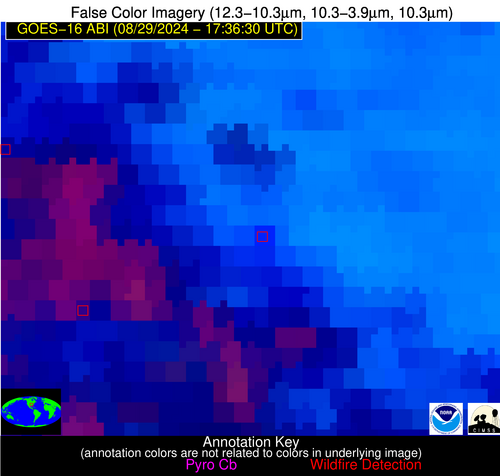
| Latest Satellite Imagery: | |
| View all event imagery » | |
Possible Wildfire
| Basic Information | |
|---|---|
| State/Province(s) | SC |
| Country/Countries | USA |
| County/Locality(s) | Clarendon County, SC |
| NWS WFO | Columbia SC |
| Identification Method | Enhanced Contextual (Cloud) |
| Mean Object Date/Time | 2024-08-29 17:37:22UTC |
| Radiative Center (Lat, Lon): | 33.620000°, -80.340000° |
| Nearby Counties (meeting alert criteria): |
|
| Total Radiative Power Anomaly | n/a |
| Total Radiative Power | 164.22 MW |
| Map: | |
| Additional Information | |
| Alert Status | New Feature |
| Type of Event | Nominal Risk |
| Event Priority Ranking | 4 |
| Maximum Observed BT (3.9 um) | 327.06 K |
| Observed - Background BT (3.9 um) | 19.92 K |
| BT Anomaly (3.9 um) | 6.63 K |
| Maximum Observed - Clear RTM BT (3.9 um) | 21.67 K |
| Maximum Observed BTD (3.9-10/11/12 um) | 33.38 K |
| Observed - Background BTD (3.9-10/11/12 um) | 20.01 K |
| BTD Anomaly (3.9-10/11/12 um) | 6.19 K |
| Similar Pixel Count | 0 |
| BT Time Tendency (3.9 um) | 14.10 K |
| Image Interval | 5.00 minutes |
| Fraction of Surrounding LWIR Pixels that are Colder | 0.66 |
| Fraction of Surrounding Red Channel Pixels that are Brighter | 0.36 |
| Maximum Radiative Power | 92.01 MW |
| Maximum Radiative Power Uncertainty | 0.00 MW |
| Total Radiative Power Uncertainty | 0.00 MW |
| Mean Viewing Angle | 39.70° |
| Mean Solar Zenith Angle | 24.40° |
| Mean Glint Angle | 63.30° |
| Water Fraction | 0.00 |
| Total Pixel Area | 11.20 km2 |
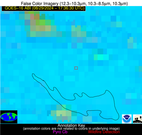
| Latest Satellite Imagery: | |
| View all event imagery » | |
