Wildfire Alert Report
| Date: | 2024-08-27 |
|---|---|
| Time: | 17:31:17 |
| Production Date and Time: | 2024-08-27 17:35:58 UTC |
| Primary Instrument: | GOES-16 ABI |
| Wmo Spacecraft Id: | 152 |
| Location/orbit: | GEO |
| L1 File: | OR_ABI-L1b-RadC-M6C14_G16_s20242401731171_e20242401733544_c20242401734020.nc |
| L1 File(s) - Temporal | OR_ABI-L1b-RadC-M6C14_G16_s20242401726171_e20242401728544_c20242401729006.nc |
| Number Of Thermal Anomaly Alerts: | 5 |
Possible Wildfire
| Basic Information | |
|---|---|
| State/Province(s) | AR |
| Country/Countries | USA |
| County/Locality(s) | Jefferson County, AR |
| NWS WFO | Little Rock AR |
| Identification Method | Enhanced Contextual (Clear) |
| Mean Object Date/Time | 2024-08-27 17:32:20UTC |
| Radiative Center (Lat, Lon): | 34.140000°, -91.830000° |
| Nearby Counties (meeting alert criteria): |
|
| Total Radiative Power Anomaly | n/a |
| Total Radiative Power | 51.53 MW |
| Map: | |
| Additional Information | |
| Alert Status | New Feature |
| Type of Event | Nominal Risk |
| Event Priority Ranking | 4 |
| Maximum Observed BT (3.9 um) | 324.80 K |
| Observed - Background BT (3.9 um) | 11.44 K |
| BT Anomaly (3.9 um) | 5.11 K |
| Maximum Observed - Clear RTM BT (3.9 um) | 13.33 K |
| Maximum Observed BTD (3.9-10/11/12 um) | 25.87 K |
| Observed - Background BTD (3.9-10/11/12 um) | 10.55 K |
| BTD Anomaly (3.9-10/11/12 um) | 5.17 K |
| Similar Pixel Count | 20 |
| BT Time Tendency (3.9 um) | 1.80 K |
| Image Interval | 5.00 minutes |
| Fraction of Surrounding LWIR Pixels that are Colder | 0.94 |
| Fraction of Surrounding Red Channel Pixels that are Brighter | 0.53 |
| Maximum Radiative Power | 51.53 MW |
| Maximum Radiative Power Uncertainty | 0.00 MW |
| Total Radiative Power Uncertainty | 0.00 MW |
| Mean Viewing Angle | 43.70° |
| Mean Solar Zenith Angle | 25.50° |
| Mean Glint Angle | 69.10° |
| Water Fraction | 0.00 |
| Total Pixel Area | 6.20 km2 |
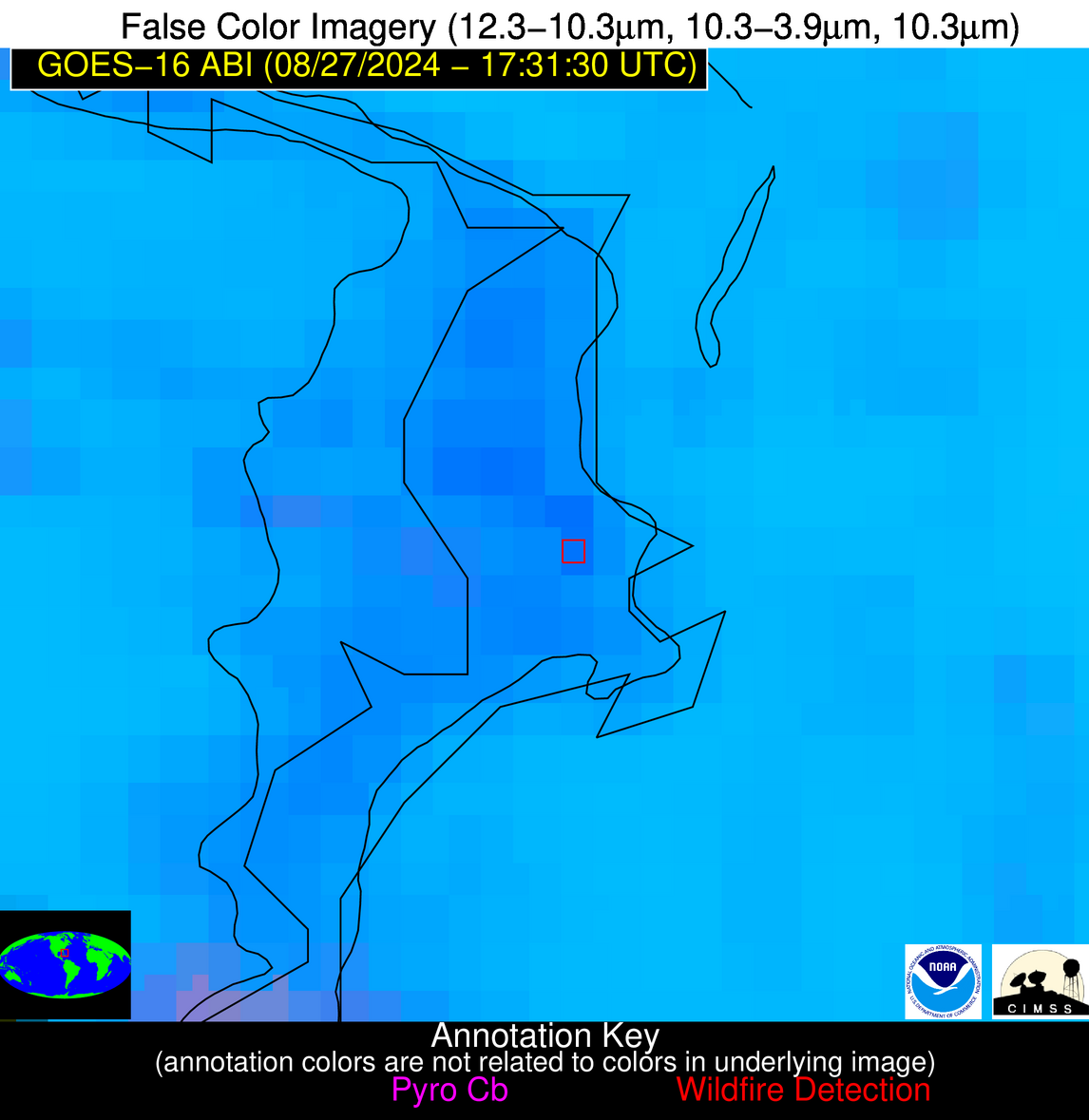
| Latest Satellite Imagery: | |
| View all event imagery » | |
Possible Wildfire
| Basic Information | |
|---|---|
| State/Province(s) | AR |
| Country/Countries | USA |
| County/Locality(s) | Desha County, AR |
| NWS WFO | Little Rock AR |
| Identification Method | Enhanced Contextual (Clear) |
| Mean Object Date/Time | 2024-08-27 17:32:20UTC |
| Radiative Center (Lat, Lon): | 33.810000°, -91.510000° |
| Nearby Counties (meeting alert criteria): |
|
| Total Radiative Power Anomaly | n/a |
| Total Radiative Power | 37.37 MW |
| Map: | |
| Additional Information | |
| Alert Status | New Feature |
| Type of Event | Nominal Risk |
| Event Priority Ranking | 4 |
| Maximum Observed BT (3.9 um) | 316.03 K |
| Observed - Background BT (3.9 um) | 3.63 K |
| BT Anomaly (3.9 um) | 1.84 K |
| Maximum Observed - Clear RTM BT (3.9 um) | 2.04 K |
| Maximum Observed BTD (3.9-10/11/12 um) | 17.50 K |
| Observed - Background BTD (3.9-10/11/12 um) | 3.99 K |
| BTD Anomaly (3.9-10/11/12 um) | 2.68 K |
| Similar Pixel Count | 21 |
| BT Time Tendency (3.9 um) | 3.30 K |
| Image Interval | 5.00 minutes |
| Fraction of Surrounding LWIR Pixels that are Colder | 0.34 |
| Fraction of Surrounding Red Channel Pixels that are Brighter | 0.79 |
| Maximum Radiative Power | 37.37 MW |
| Maximum Radiative Power Uncertainty | 0.00 MW |
| Total Radiative Power Uncertainty | 0.00 MW |
| Mean Viewing Angle | 43.20° |
| Mean Solar Zenith Angle | 25.10° |
| Mean Glint Angle | 68.20° |
| Water Fraction | 0.00 |
| Total Pixel Area | 6.10 km2 |
| Latest Satellite Imagery: | |
| View all event imagery » | |
Possible Wildfire
| Basic Information | |
|---|---|
| State/Province(s) | LA |
| Country/Countries | USA |
| County/Locality(s) | Tensas Parish, LA |
| NWS WFO | Jackson MS |
| Identification Method | Enhanced Contextual (Clear) |
| Mean Object Date/Time | 2024-08-27 17:32:20UTC |
| Radiative Center (Lat, Lon): | 31.970000°, -91.430000° |
| Nearby Counties (meeting alert criteria): |
|
| Total Radiative Power Anomaly | n/a |
| Total Radiative Power | 45.26 MW |
| Map: | |
| Additional Information | |
| Alert Status | New Feature |
| Type of Event | Nominal Risk |
| Event Priority Ranking | 4 |
| Maximum Observed BT (3.9 um) | 321.27 K |
| Observed - Background BT (3.9 um) | 9.11 K |
| BT Anomaly (3.9 um) | 2.88 K |
| Maximum Observed - Clear RTM BT (3.9 um) | 11.28 K |
| Maximum Observed BTD (3.9-10/11/12 um) | 27.97 K |
| Observed - Background BTD (3.9-10/11/12 um) | 8.81 K |
| BTD Anomaly (3.9-10/11/12 um) | 2.69 K |
| Similar Pixel Count | 19 |
| BT Time Tendency (3.9 um) | 3.70 K |
| Image Interval | 5.00 minutes |
| Fraction of Surrounding LWIR Pixels that are Colder | 0.75 |
| Fraction of Surrounding Red Channel Pixels that are Brighter | 0.34 |
| Maximum Radiative Power | 45.26 MW |
| Maximum Radiative Power Uncertainty | 0.00 MW |
| Total Radiative Power Uncertainty | 0.00 MW |
| Mean Viewing Angle | 41.40° |
| Mean Solar Zenith Angle | 23.30° |
| Mean Glint Angle | 64.60° |
| Water Fraction | 0.00 |
| Total Pixel Area | 5.90 km2 |
| Latest Satellite Imagery: | |
| View all event imagery » | |
Possible Wildfire
| Basic Information | |
|---|---|
| State/Province(s) | Unknown |
| Country/Countries | Bahamas |
| County/Locality(s) | Bahamas |
| NWS WFO | N/A |
| Identification Method | Enhanced Contextual (Clear) |
| Mean Object Date/Time | 2024-08-27 17:32:52UTC |
| Radiative Center (Lat, Lon): | 26.360000°, -77.060000° |
| Nearby Counties (meeting alert criteria): |
|
| Total Radiative Power Anomaly | n/a |
| Total Radiative Power | 15.95 MW |
| Map: | |
| Additional Information | |
| Alert Status | New Feature |
| Type of Event | Nominal Risk |
| Event Priority Ranking | 4 |
| Maximum Observed BT (3.9 um) | 313.66 K |
| Observed - Background BT (3.9 um) | 7.02 K |
| BT Anomaly (3.9 um) | 1.95 K |
| Maximum Observed - Clear RTM BT (3.9 um) | 12.56 K |
| Maximum Observed BTD (3.9-10/11/12 um) | 21.37 K |
| Observed - Background BTD (3.9-10/11/12 um) | 6.41 K |
| BTD Anomaly (3.9-10/11/12 um) | 2.13 K |
| Similar Pixel Count | 19 |
| BT Time Tendency (3.9 um) | 1.50 K |
| Image Interval | 5.00 minutes |
| Fraction of Surrounding LWIR Pixels that are Colder | 0.90 |
| Fraction of Surrounding Red Channel Pixels that are Brighter | 0.87 |
| Maximum Radiative Power | 15.95 MW |
| Maximum Radiative Power Uncertainty | 0.00 MW |
| Total Radiative Power Uncertainty | 0.00 MW |
| Mean Viewing Angle | 31.00° |
| Mean Solar Zenith Angle | 17.00° |
| Mean Glint Angle | 47.10° |
| Water Fraction | 0.00 |
| Total Pixel Area | 4.90 km2 |
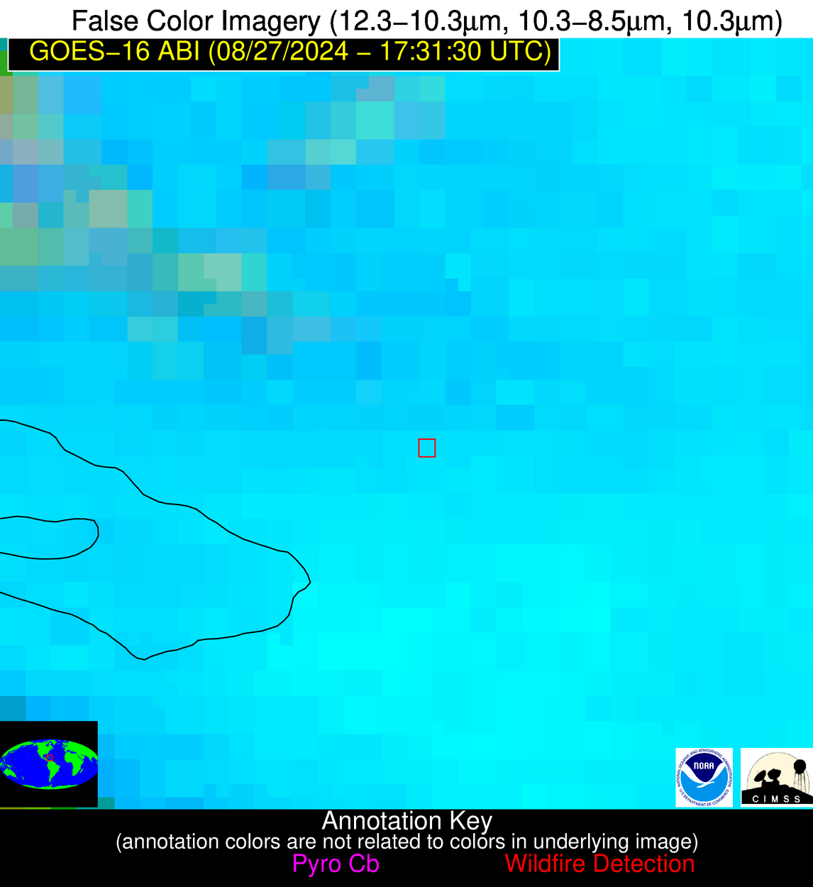
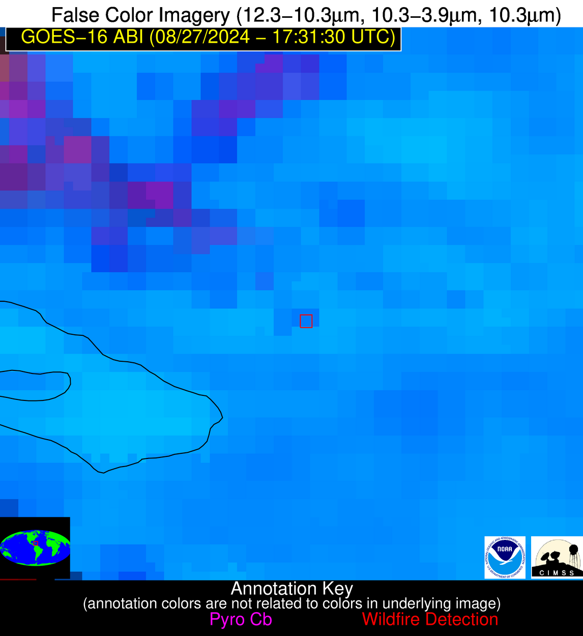
| Latest Satellite Imagery: | |
| View all event imagery » | |
Possible Wildfire
| Basic Information | |
|---|---|
| State/Province(s) | Unknown |
| Country/Countries | Dominican Republic |
| County/Locality(s) | Dominican Republic |
| NWS WFO | N/A |
| Identification Method | Enhanced Contextual (Clear) |
| Mean Object Date/Time | 2024-08-27 17:33:53UTC |
| Radiative Center (Lat, Lon): | 18.550000°, -71.420000° |
| Nearby Counties (meeting alert criteria): |
|
| Total Radiative Power Anomaly | n/a |
| Total Radiative Power | 13.71 MW |
| Map: | |
| Additional Information | |
| Alert Status | New Feature |
| Type of Event | Nominal Risk |
| Event Priority Ranking | 4 |
| Maximum Observed BT (3.9 um) | 314.23 K |
| Observed - Background BT (3.9 um) | 5.25 K |
| BT Anomaly (3.9 um) | 1.93 K |
| Maximum Observed - Clear RTM BT (3.9 um) | 5.60 K |
| Maximum Observed BTD (3.9-10/11/12 um) | 19.29 K |
| Observed - Background BTD (3.9-10/11/12 um) | 4.84 K |
| BTD Anomaly (3.9-10/11/12 um) | 2.26 K |
| Similar Pixel Count | 24 |
| BT Time Tendency (3.9 um) | 3.30 K |
| Image Interval | 5.00 minutes |
| Fraction of Surrounding LWIR Pixels that are Colder | 0.47 |
| Fraction of Surrounding Red Channel Pixels that are Brighter | 1.00 |
| Maximum Radiative Power | 13.71 MW |
| Maximum Radiative Power Uncertainty | 0.00 MW |
| Total Radiative Power Uncertainty | 0.00 MW |
| Mean Viewing Angle | 22.30° |
| Mean Solar Zenith Angle | 13.60° |
| Mean Glint Angle | 33.60° |
| Water Fraction | 0.00 |
| Total Pixel Area | 4.50 km2 |
| Latest Satellite Imagery: | |
| View all event imagery » | |


