Wildfire Alert Report
| Date: | 2024-08-24 |
|---|---|
| Time: | 21:51:17 |
| Production Date and Time: | 2024-08-24 21:55:56 UTC |
| Primary Instrument: | GOES-16 ABI |
| Wmo Spacecraft Id: | 152 |
| Location/orbit: | GEO |
| L1 File: | OR_ABI-L1b-RadC-M6C14_G16_s20242372151171_e20242372153544_c20242372154025.nc |
| L1 File(s) - Temporal | OR_ABI-L1b-RadC-M6C14_G16_s20242372146171_e20242372148544_c20242372149039.nc |
| Number Of Thermal Anomaly Alerts: | 3 |
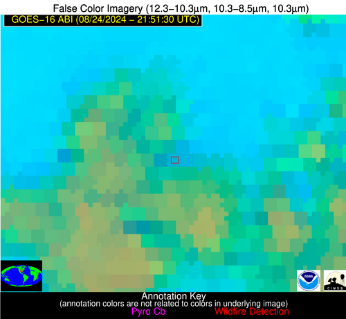
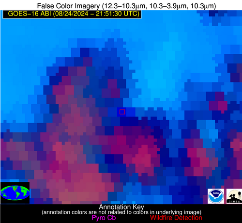
Possible Wildfire
| Basic Information | |
|---|---|
| State/Province(s) | OK |
| Country/Countries | USA |
| County/Locality(s) | Rogers County, OK |
| NWS WFO | Tulsa OK |
| Identification Method | Enhanced Contextual (Cloud) |
| Mean Object Date/Time | 2024-08-24 21:51:50UTC |
| Radiative Center (Lat, Lon): | 36.460000°, -95.690000° |
| Nearby Counties (meeting alert criteria): |
|
| Total Radiative Power Anomaly | n/a |
| Total Radiative Power | 175.32 MW |
| Map: | |
| Additional Information | |
| Alert Status | New Feature |
| Type of Event | Nominal Risk |
| Event Priority Ranking | 4 |
| Maximum Observed BT (3.9 um) | 318.59 K |
| Observed - Background BT (3.9 um) | 14.41 K |
| BT Anomaly (3.9 um) | 12.24 K |
| Maximum Observed - Clear RTM BT (3.9 um) | 13.97 K |
| Maximum Observed BTD (3.9-10/11/12 um) | 41.61 K |
| Observed - Background BTD (3.9-10/11/12 um) | 14.37 K |
| BTD Anomaly (3.9-10/11/12 um) | 7.32 K |
| Similar Pixel Count | 0 |
| BT Time Tendency (3.9 um) | 16.20 K |
| Image Interval | 5.00 minutes |
| Fraction of Surrounding LWIR Pixels that are Colder | 0.69 |
| Fraction of Surrounding Red Channel Pixels that are Brighter | 0.79 |
| Maximum Radiative Power | 175.32 MW |
| Maximum Radiative Power Uncertainty | 0.00 MW |
| Total Radiative Power Uncertainty | 0.00 MW |
| Mean Viewing Angle | 47.70° |
| Mean Solar Zenith Angle | 52.70° |
| Mean Glint Angle | 54.50° |
| Water Fraction | 0.50 |
| Total Pixel Area | 13.80 km2 |
| Latest Satellite Imagery: | |
| View all event imagery » | |
Possible Wildfire
| Basic Information | |
|---|---|
| State/Province(s) | MS |
| Country/Countries | USA |
| County/Locality(s) | Issaquena County, MS |
| NWS WFO | Jackson MS |
| Identification Method | Enhanced Contextual (Clear) |
| Mean Object Date/Time | 2024-08-24 21:52:21UTC |
| Radiative Center (Lat, Lon): | 32.880000°, -90.970000° |
| Nearby Counties (meeting alert criteria): |
|
| Total Radiative Power Anomaly | n/a |
| Total Radiative Power | 78.79 MW |
| Map: | |
| Additional Information | |
| Alert Status | New Feature |
| Type of Event | Nominal Risk |
| Event Priority Ranking | 4 |
| Maximum Observed BT (3.9 um) | 313.01 K |
| Observed - Background BT (3.9 um) | 8.18 K |
| BT Anomaly (3.9 um) | 4.41 K |
| Maximum Observed - Clear RTM BT (3.9 um) | 9.21 K |
| Maximum Observed BTD (3.9-10/11/12 um) | 19.48 K |
| Observed - Background BTD (3.9-10/11/12 um) | 8.21 K |
| BTD Anomaly (3.9-10/11/12 um) | 6.79 K |
| Similar Pixel Count | 4 |
| BT Time Tendency (3.9 um) | 6.60 K |
| Image Interval | 5.00 minutes |
| Fraction of Surrounding LWIR Pixels that are Colder | 0.47 |
| Fraction of Surrounding Red Channel Pixels that are Brighter | 0.64 |
| Maximum Radiative Power | 51.30 MW |
| Maximum Radiative Power Uncertainty | 0.00 MW |
| Total Radiative Power Uncertainty | 0.00 MW |
| Mean Viewing Angle | 42.10° |
| Mean Solar Zenith Angle | 55.80° |
| Mean Glint Angle | 53.70° |
| Water Fraction | 0.00 |
| Total Pixel Area | 17.90 km2 |
| Latest Satellite Imagery: | |
| View all event imagery » | |
Possible Wildfire
| Basic Information | |
|---|---|
| State/Province(s) | MS |
| Country/Countries | USA |
| County/Locality(s) | Jefferson Davis County, MS |
| NWS WFO | Jackson MS |
| Identification Method | Enhanced Contextual (Cloud) |
| Mean Object Date/Time | 2024-08-24 21:52:21UTC |
| Radiative Center (Lat, Lon): | 31.440000°, -89.940000° |
| Nearby Counties (meeting alert criteria): |
|
| Total Radiative Power Anomaly | n/a |
| Total Radiative Power | 31.34 MW |
| Map: | |
| Additional Information | |
| Alert Status | New Feature |
| Type of Event | Nominal Risk |
| Event Priority Ranking | 4 |
| Maximum Observed BT (3.9 um) | 311.63 K |
| Observed - Background BT (3.9 um) | 8.79 K |
| BT Anomaly (3.9 um) | 13.21 K |
| Maximum Observed - Clear RTM BT (3.9 um) | 10.71 K |
| Maximum Observed BTD (3.9-10/11/12 um) | 16.66 K |
| Observed - Background BTD (3.9-10/11/12 um) | 8.59 K |
| BTD Anomaly (3.9-10/11/12 um) | 7.64 K |
| Similar Pixel Count | 0 |
| BT Time Tendency (3.9 um) | 6.40 K |
| Image Interval | 5.00 minutes |
| Fraction of Surrounding LWIR Pixels that are Colder | 0.64 |
| Fraction of Surrounding Red Channel Pixels that are Brighter | 1.00 |
| Maximum Radiative Power | 31.34 MW |
| Maximum Radiative Power Uncertainty | 0.00 MW |
| Total Radiative Power Uncertainty | 0.00 MW |
| Mean Viewing Angle | 40.20° |
| Mean Solar Zenith Angle | 56.40° |
| Mean Glint Angle | 53.20° |
| Water Fraction | 0.00 |
| Total Pixel Area | 5.70 km2 |
| Latest Satellite Imagery: | |
| View all event imagery » | |


