Wildfire Alert Report
| Date: | 2024-08-22 |
|---|---|
| Time: | 14:21:17 |
| Production Date and Time: | 2024-08-22 14:25:48 UTC |
| Primary Instrument: | GOES-16 ABI |
| Wmo Spacecraft Id: | 152 |
| Location/orbit: | GEO |
| L1 File: | OR_ABI-L1b-RadC-M6C14_G16_s20242351421170_e20242351423543_c20242351424031.nc |
| L1 File(s) - Temporal | OR_ABI-L1b-RadC-M6C14_G16_s20242351416170_e20242351418543_c20242351419028.nc |
| Number Of Thermal Anomaly Alerts: | 3 |
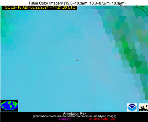
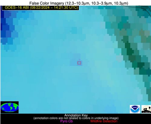
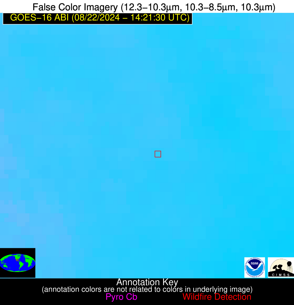
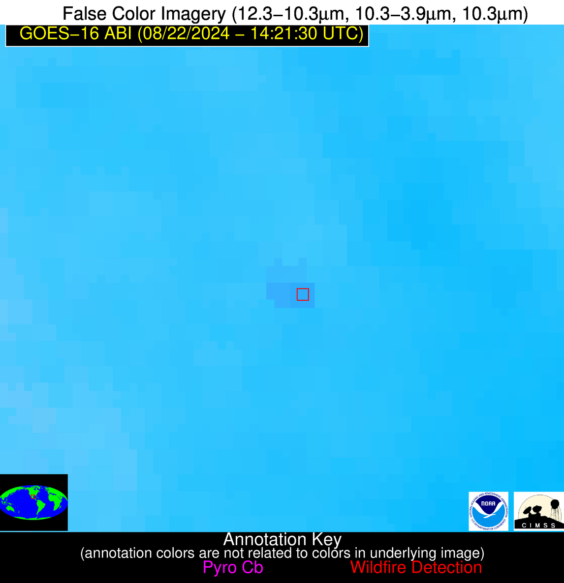
Possible Wildfire
| Basic Information | |
|---|---|
| State/Province(s) | MN |
| Country/Countries | USA |
| County/Locality(s) | Goodhue County, MN |
| NWS WFO | Twin Cities/Chanhassen MN |
| Identification Method | Enhanced Contextual (Clear) |
| Mean Object Date/Time | 2024-08-22 14:21:21UTC |
| Radiative Center (Lat, Lon): | 44.290000°, -92.660000° |
| Nearby Counties (meeting alert criteria): |
|
| Total Radiative Power Anomaly | n/a |
| Total Radiative Power | 10.73 MW |
| Map: | |
| Additional Information | |
| Alert Status | New Feature |
| Type of Event | Nominal Risk |
| Event Priority Ranking | 4 |
| Maximum Observed BT (3.9 um) | 293.43 K |
| Observed - Background BT (3.9 um) | 4.30 K |
| BT Anomaly (3.9 um) | 4.46 K |
| Maximum Observed - Clear RTM BT (3.9 um) | 8.76 K |
| Maximum Observed BTD (3.9-10/11/12 um) | 9.06 K |
| Observed - Background BTD (3.9-10/11/12 um) | 3.70 K |
| BTD Anomaly (3.9-10/11/12 um) | 4.06 K |
| Similar Pixel Count | 4 |
| BT Time Tendency (3.9 um) | 2.50 K |
| Image Interval | 5.00 minutes |
| Fraction of Surrounding LWIR Pixels that are Colder | 0.80 |
| Fraction of Surrounding Red Channel Pixels that are Brighter | 0.98 |
| Maximum Radiative Power | 10.73 MW |
| Maximum Radiative Power Uncertainty | 0.00 MW |
| Total Radiative Power Uncertainty | 0.00 MW |
| Mean Viewing Angle | 54.20° |
| Mean Solar Zenith Angle | 59.00° |
| Mean Glint Angle | 97.70° |
| Water Fraction | 0.00 |
| Total Pixel Area | 8.10 km2 |
| Latest Satellite Imagery: | |
| View all event imagery » | |
Possible Wildfire
| Basic Information | |
|---|---|
| State/Province(s) | LA |
| Country/Countries | USA |
| County/Locality(s) | Claiborne Parish, LA |
| NWS WFO | Shreveport LA |
| Identification Method | Enhanced Contextual (Cloud) |
| Mean Object Date/Time | 2024-08-22 14:22:20UTC |
| Radiative Center (Lat, Lon): | 32.900000°, -93.130000° |
| Nearby Counties (meeting alert criteria): |
|
| Total Radiative Power Anomaly | n/a |
| Total Radiative Power | 42.80 MW |
| Map: | |
| Additional Information | |
| Alert Status | New Feature |
| Type of Event | Nominal Risk |
| Event Priority Ranking | 4 |
| Maximum Observed BT (3.9 um) | 307.60 K |
| Observed - Background BT (3.9 um) | 11.63 K |
| BT Anomaly (3.9 um) | 8.48 K |
| Maximum Observed - Clear RTM BT (3.9 um) | 14.05 K |
| Maximum Observed BTD (3.9-10/11/12 um) | 23.82 K |
| Observed - Background BTD (3.9-10/11/12 um) | 11.32 K |
| BTD Anomaly (3.9-10/11/12 um) | 5.51 K |
| Similar Pixel Count | 0 |
| BT Time Tendency (3.9 um) | 9.40 K |
| Image Interval | 5.00 minutes |
| Fraction of Surrounding LWIR Pixels that are Colder | 0.60 |
| Fraction of Surrounding Red Channel Pixels that are Brighter | 0.52 |
| Maximum Radiative Power | 42.80 MW |
| Maximum Radiative Power Uncertainty | 0.00 MW |
| Total Radiative Power Uncertainty | 0.00 MW |
| Mean Viewing Angle | 43.10° |
| Mean Solar Zenith Angle | 57.20° |
| Mean Glint Angle | 87.60° |
| Water Fraction | 0.00 |
| Total Pixel Area | 6.10 km2 |
| Latest Satellite Imagery: | |
| View all event imagery » | |
Possible Wildfire
| Basic Information | |
|---|---|
| State/Province(s) | Unknown |
| Country/Countries | Mexico |
| County/Locality(s) | Mexico |
| NWS WFO | N/A |
| Identification Method | Enhanced Contextual (Clear) |
| Mean Object Date/Time | 2024-08-22 14:23:19UTC |
| Radiative Center (Lat, Lon): | 24.580000°, -99.430000° |
| Nearby Counties (meeting alert criteria): |
|
| Total Radiative Power Anomaly | n/a |
| Total Radiative Power | 18.78 MW |
| Map: | |
| Additional Information | |
| Alert Status | New Feature |
| Type of Event | Nominal Risk |
| Event Priority Ranking | 4 |
| Maximum Observed BT (3.9 um) | 302.51 K |
| Observed - Background BT (3.9 um) | 2.96 K |
| BT Anomaly (3.9 um) | 2.89 K |
| Maximum Observed - Clear RTM BT (3.9 um) | 4.75 K |
| Maximum Observed BTD (3.9-10/11/12 um) | 9.94 K |
| Observed - Background BTD (3.9-10/11/12 um) | 2.93 K |
| BTD Anomaly (3.9-10/11/12 um) | 4.18 K |
| Similar Pixel Count | 16 |
| BT Time Tendency (3.9 um) | 1.40 K |
| Image Interval | 5.00 minutes |
| Fraction of Surrounding LWIR Pixels that are Colder | 0.51 |
| Fraction of Surrounding Red Channel Pixels that are Brighter | 1.00 |
| Maximum Radiative Power | 9.44 MW |
| Maximum Radiative Power Uncertainty | 0.00 MW |
| Total Radiative Power Uncertainty | 0.00 MW |
| Mean Viewing Angle | 39.70° |
| Mean Solar Zenith Angle | 62.30° |
| Mean Glint Angle | 92.90° |
| Water Fraction | 0.00 |
| Total Pixel Area | 11.60 km2 |
| Latest Satellite Imagery: | |
| View all event imagery » | |


