Wildfire Alert Report
| Date: | 2024-08-16 |
|---|---|
| Time: | 16:11:17 |
| Production Date and Time: | 2024-08-16 16:15:53 UTC |
| Primary Instrument: | GOES-16 ABI |
| Wmo Spacecraft Id: | 152 |
| Location/orbit: | GEO |
| L1 File: | OR_ABI-L1b-RadC-M6C14_G16_s20242291611174_e20242291613547_c20242291614021.nc |
| L1 File(s) - Temporal | OR_ABI-L1b-RadC-M6C14_G16_s20242291606174_e20242291608547_c20242291609022.nc |
| Number Of Thermal Anomaly Alerts: | 3 |
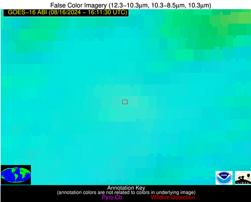
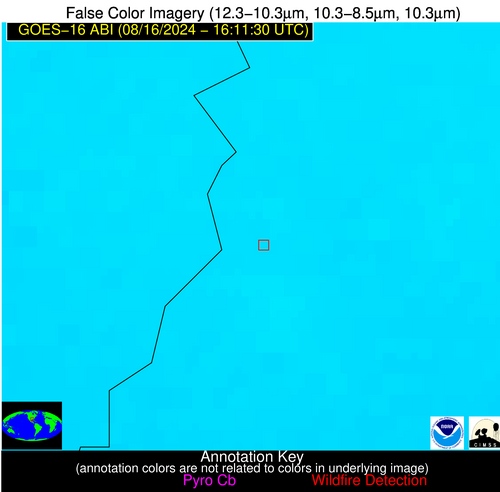
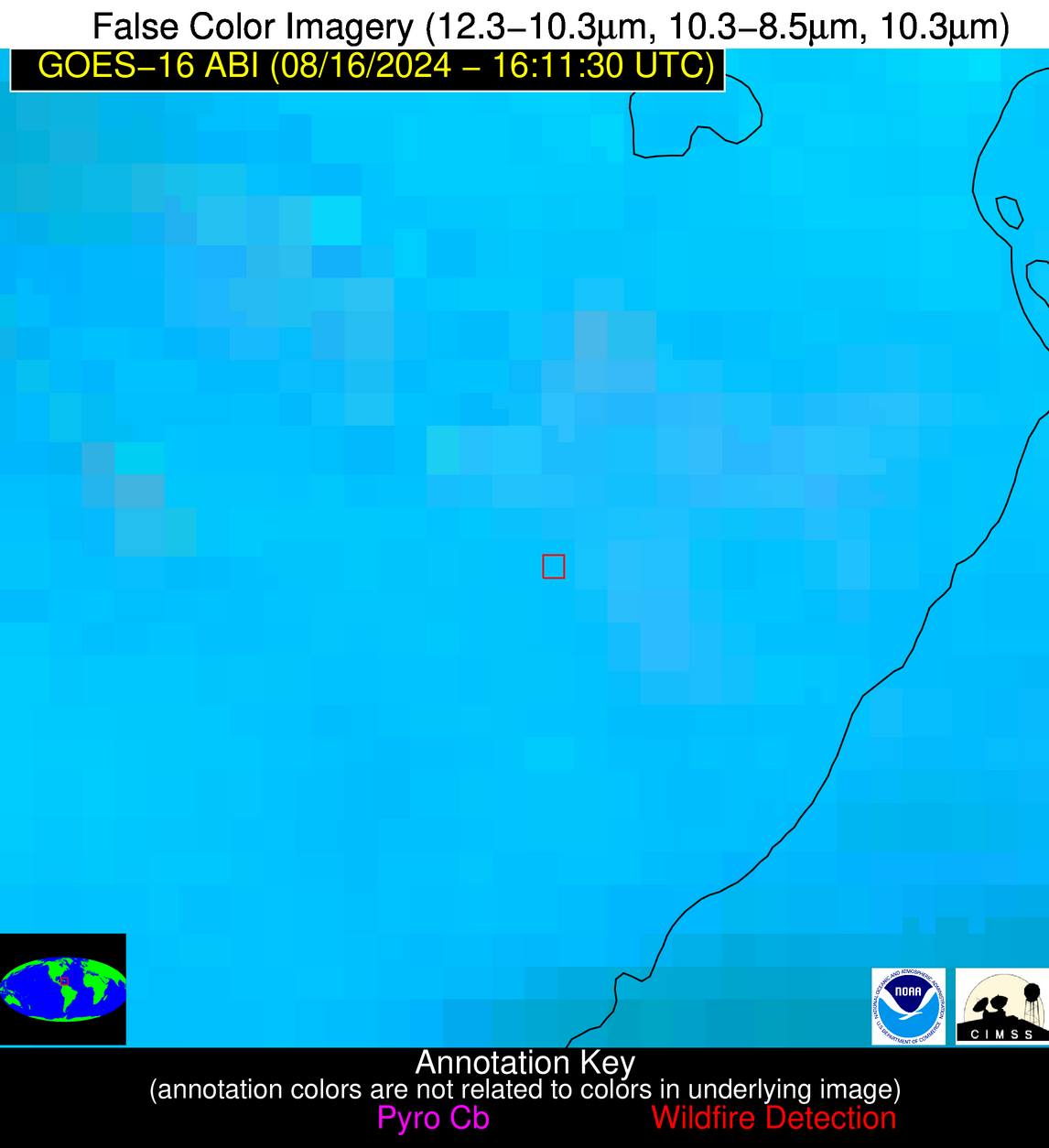
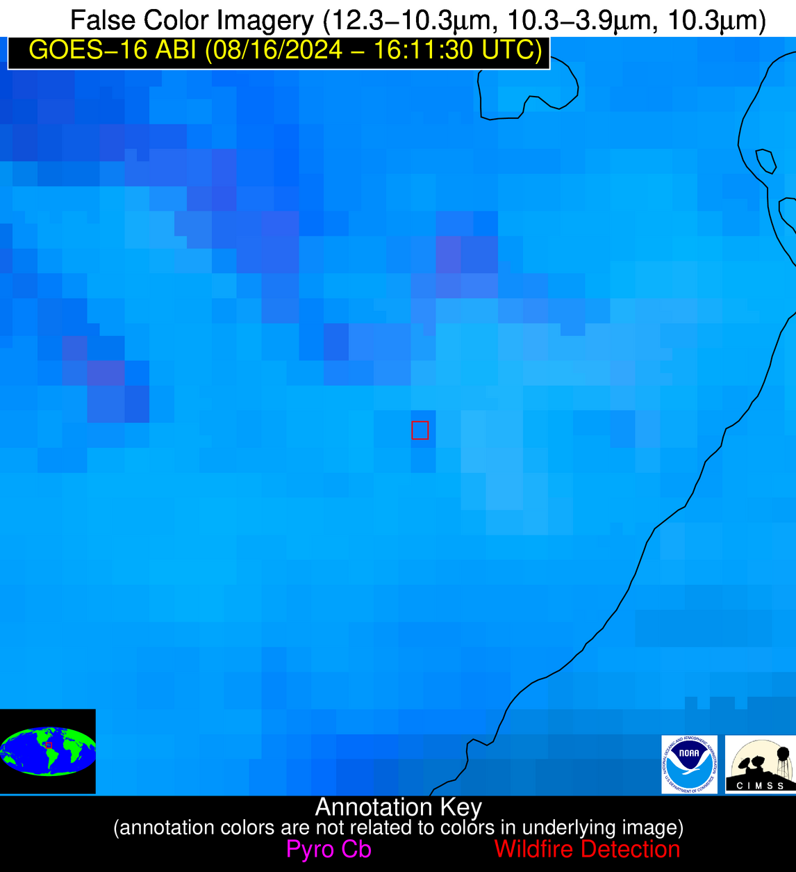
Possible Wildfire
| Basic Information | |
|---|---|
| State/Province(s) | Quebec |
| Country/Countries | Canada |
| County/Locality(s) | Canada |
| NWS WFO | N/A |
| Identification Method | Enhanced Contextual (Clear) |
| Mean Object Date/Time | 2024-08-16 16:11:23UTC |
| Radiative Center (Lat, Lon): | 48.700000°, -66.240000° |
| Nearby Counties (meeting alert criteria): |
|
| Total Radiative Power Anomaly | n/a |
| Total Radiative Power | 75.31 MW |
| Map: | |
| Additional Information | |
| Alert Status | New Feature |
| Type of Event | Nominal Risk |
| Event Priority Ranking | 4 |
| Maximum Observed BT (3.9 um) | 303.91 K |
| Observed - Background BT (3.9 um) | 9.90 K |
| BT Anomaly (3.9 um) | 6.15 K |
| Maximum Observed - Clear RTM BT (3.9 um) | 11.59 K |
| Maximum Observed BTD (3.9-10/11/12 um) | 23.92 K |
| Observed - Background BTD (3.9-10/11/12 um) | 11.06 K |
| BTD Anomaly (3.9-10/11/12 um) | 5.28 K |
| Similar Pixel Count | 14 |
| BT Time Tendency (3.9 um) | 0.20 K |
| Image Interval | 5.00 minutes |
| Fraction of Surrounding LWIR Pixels that are Colder | 0.31 |
| Fraction of Surrounding Red Channel Pixels that are Brighter | 0.56 |
| Maximum Radiative Power | 41.52 MW |
| Maximum Radiative Power Uncertainty | 0.00 MW |
| Total Radiative Power Uncertainty | 0.00 MW |
| Mean Viewing Angle | 56.90° |
| Mean Solar Zenith Angle | 35.00° |
| Mean Glint Angle | 90.30° |
| Water Fraction | 0.00 |
| Total Pixel Area | 16.90 km2 |
| Latest Satellite Imagery: | |
| View all event imagery » | |
Possible Wildfire
| Basic Information | |
|---|---|
| State/Province(s) | LA |
| Country/Countries | USA |
| County/Locality(s) | Beauregard Parish, LA |
| NWS WFO | Lake Charles LA |
| Identification Method | Enhanced Contextual (Cloud) |
| Mean Object Date/Time | 2024-08-16 16:12:20UTC |
| Radiative Center (Lat, Lon): | 30.820000°, -93.500000° |
| Nearby Counties (meeting alert criteria): |
|
| Total Radiative Power Anomaly | n/a |
| Total Radiative Power | 52.77 MW |
| Map: | |
| Additional Information | |
| Alert Status | New Feature |
| Type of Event | Nominal Risk |
| Event Priority Ranking | 4 |
| Maximum Observed BT (3.9 um) | 317.19 K |
| Observed - Background BT (3.9 um) | 11.78 K |
| BT Anomaly (3.9 um) | 9.89 K |
| Maximum Observed - Clear RTM BT (3.9 um) | 13.29 K |
| Maximum Observed BTD (3.9-10/11/12 um) | 25.64 K |
| Observed - Background BTD (3.9-10/11/12 um) | 11.48 K |
| BTD Anomaly (3.9-10/11/12 um) | 9.37 K |
| Similar Pixel Count | 0 |
| BT Time Tendency (3.9 um) | 10.40 K |
| Image Interval | 5.00 minutes |
| Fraction of Surrounding LWIR Pixels that are Colder | 0.73 |
| Fraction of Surrounding Red Channel Pixels that are Brighter | 1.00 |
| Maximum Radiative Power | 52.77 MW |
| Maximum Radiative Power Uncertainty | 0.00 MW |
| Total Radiative Power Uncertainty | 0.00 MW |
| Mean Viewing Angle | 41.30° |
| Mean Solar Zenith Angle | 33.70° |
| Mean Glint Angle | 71.20° |
| Water Fraction | 0.00 |
| Total Pixel Area | 5.90 km2 |
| Latest Satellite Imagery: | |
| View all event imagery » | |
Possible Wildfire
| Basic Information | |
|---|---|
| State/Province(s) | Unknown |
| Country/Countries | Dominican Republic |
| County/Locality(s) | Dominican Republic |
| NWS WFO | N/A |
| Identification Method | Enhanced Contextual (Clear) |
| Mean Object Date/Time | 2024-08-16 16:13:53UTC |
| Radiative Center (Lat, Lon): | 18.060000°, -71.320000° |
| Nearby Counties (meeting alert criteria): |
|
| Total Radiative Power Anomaly | n/a |
| Total Radiative Power | 15.72 MW |
| Map: | |
| Additional Information | |
| Alert Status | New Feature |
| Type of Event | Nominal Risk |
| Event Priority Ranking | 4 |
| Maximum Observed BT (3.9 um) | 309.66 K |
| Observed - Background BT (3.9 um) | 5.00 K |
| BT Anomaly (3.9 um) | 2.48 K |
| Maximum Observed - Clear RTM BT (3.9 um) | 10.08 K |
| Maximum Observed BTD (3.9-10/11/12 um) | 16.49 K |
| Observed - Background BTD (3.9-10/11/12 um) | 4.10 K |
| BTD Anomaly (3.9-10/11/12 um) | 2.39 K |
| Similar Pixel Count | 13 |
| BT Time Tendency (3.9 um) | 6.00 K |
| Image Interval | 5.00 minutes |
| Fraction of Surrounding LWIR Pixels that are Colder | 0.87 |
| Fraction of Surrounding Red Channel Pixels that are Brighter | 1.00 |
| Maximum Radiative Power | 15.72 MW |
| Maximum Radiative Power Uncertainty | 0.00 MW |
| Total Radiative Power Uncertainty | 0.00 MW |
| Mean Viewing Angle | 21.70° |
| Mean Solar Zenith Angle | 10.00° |
| Mean Glint Angle | 25.50° |
| Water Fraction | 0.00 |
| Total Pixel Area | 4.40 km2 |
| Latest Satellite Imagery: | |
| View all event imagery » | |


