Jan 2026: Due to an ongoing data center cooling system construction project, NGFS data outages may occur with little or no notice.
Wildfire Alert Report
| Date: | 2024-08-14 |
|---|---|
| Time: | 15:01:17 |
| Production Date and Time: | 2024-08-14 15:05:54 UTC |
| Primary Instrument: | GOES-16 ABI |
| Wmo Spacecraft Id: | 152 |
| Location/orbit: | GEO |
| L1 File: | OR_ABI-L1b-RadC-M6C14_G16_s20242271501173_e20242271503546_c20242271504036.nc |
| L1 File(s) - Temporal | OR_ABI-L1b-RadC-M6C14_G16_s20242271456173_e20242271458546_c20242271459040.nc |
| Number Of Thermal Anomaly Alerts: | 3 |
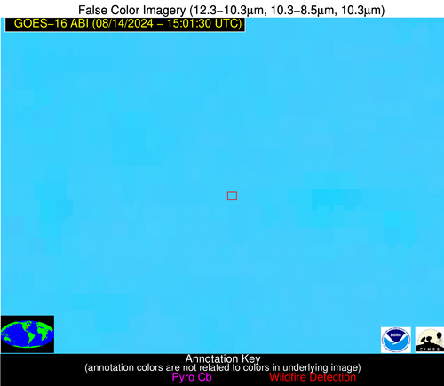
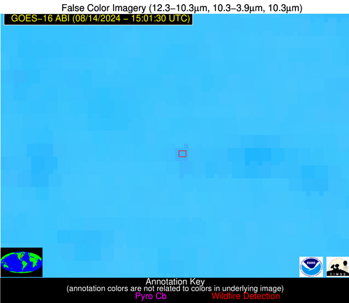
Possible Wildfire
| Basic Information | |
|---|---|
| State/Province(s) | IN |
| Country/Countries | USA |
| County/Locality(s) | Cass County, IN |
| NWS WFO | Northern Indiana IN |
| Identification Method | Enhanced Contextual (Clear) |
| Mean Object Date/Time | 2024-08-14 15:01:51UTC |
| Radiative Center (Lat, Lon): | 40.760000°, -86.500000° |
| Nearby Counties (meeting alert criteria): |
|
| Total Radiative Power Anomaly | n/a |
| Total Radiative Power | 7.75 MW |
| Map: | |
| Additional Information | |
| Alert Status | New Feature |
| Type of Event | Nominal Risk |
| Event Priority Ranking | 4 |
| Maximum Observed BT (3.9 um) | 300.09 K |
| Observed - Background BT (3.9 um) | 2.06 K |
| BT Anomaly (3.9 um) | 2.74 K |
| Maximum Observed - Clear RTM BT (3.9 um) | 8.57 K |
| Maximum Observed BTD (3.9-10/11/12 um) | 8.66 K |
| Observed - Background BTD (3.9-10/11/12 um) | 2.25 K |
| BTD Anomaly (3.9-10/11/12 um) | 4.50 K |
| Similar Pixel Count | 25 |
| BT Time Tendency (3.9 um) | 1.40 K |
| Image Interval | 5.00 minutes |
| Fraction of Surrounding LWIR Pixels that are Colder | 0.19 |
| Fraction of Surrounding Red Channel Pixels that are Brighter | 1.00 |
| Maximum Radiative Power | 7.75 MW |
| Maximum Radiative Power Uncertainty | 0.00 MW |
| Total Radiative Power Uncertainty | 0.00 MW |
| Mean Viewing Angle | 48.80° |
| Mean Solar Zenith Angle | 45.10° |
| Mean Glint Angle | 83.00° |
| Water Fraction | 0.00 |
| Total Pixel Area | 6.80 km2 |
| Latest Satellite Imagery: | |
| View all event imagery » | |
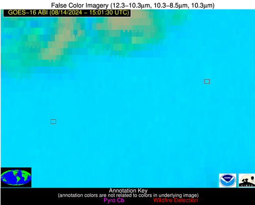
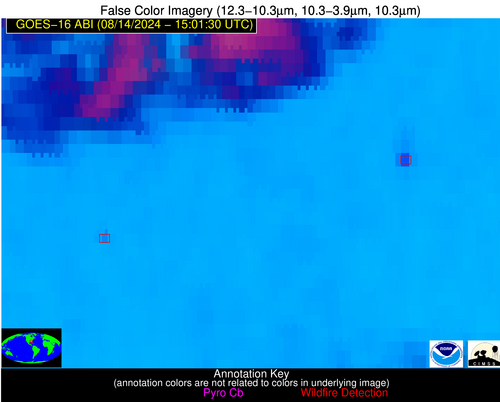
Possible Wildfire
| Basic Information | |
|---|---|
| State/Province(s) | AL |
| Country/Countries | USA |
| County/Locality(s) | Pike County, AL |
| NWS WFO | Birmingham AL |
| Identification Method | Enhanced Contextual (Cloud) |
| Mean Object Date/Time | 2024-08-14 15:02:21UTC |
| Radiative Center (Lat, Lon): | 31.750000°, -85.970000° |
| Nearby Counties (meeting alert criteria): |
|
| Total Radiative Power Anomaly | n/a |
| Total Radiative Power | 52.21 MW |
| Map: | |
| Additional Information | |
| Alert Status | New Feature |
| Type of Event | Nominal Risk |
| Event Priority Ranking | 4 |
| Maximum Observed BT (3.9 um) | 316.18 K |
| Observed - Background BT (3.9 um) | 13.72 K |
| BT Anomaly (3.9 um) | 17.20 K |
| Maximum Observed - Clear RTM BT (3.9 um) | 18.06 K |
| Maximum Observed BTD (3.9-10/11/12 um) | 25.91 K |
| Observed - Background BTD (3.9-10/11/12 um) | 13.29 K |
| BTD Anomaly (3.9-10/11/12 um) | 22.60 K |
| Similar Pixel Count | 0 |
| BT Time Tendency (3.9 um) | 8.80 K |
| Image Interval | 5.00 minutes |
| Fraction of Surrounding LWIR Pixels that are Colder | 0.71 |
| Fraction of Surrounding Red Channel Pixels that are Brighter | 1.00 |
| Maximum Radiative Power | 52.21 MW |
| Maximum Radiative Power Uncertainty | 0.00 MW |
| Total Radiative Power Uncertainty | 0.00 MW |
| Mean Viewing Angle | 39.00° |
| Mean Solar Zenith Angle | 41.80° |
| Mean Glint Angle | 69.90° |
| Water Fraction | 0.00 |
| Total Pixel Area | 5.60 km2 |
| Latest Satellite Imagery: | |
| View all event imagery » | |
Possible Wildfire
| Basic Information | |
|---|---|
| State/Province(s) | AL |
| Country/Countries | USA |
| County/Locality(s) | Butler County, AL |
| NWS WFO | Mobile AL |
| Identification Method | Enhanced Contextual (Clear) |
| Mean Object Date/Time | 2024-08-14 15:02:21UTC |
| Radiative Center (Lat, Lon): | 31.610000°, -86.870000° |
| Nearby Counties (meeting alert criteria): |
|
| Total Radiative Power Anomaly | n/a |
| Total Radiative Power | 15.81 MW |
| Map: | |
| Additional Information | |
| Alert Status | New Feature |
| Type of Event | Nominal Risk |
| Event Priority Ranking | 4 |
| Maximum Observed BT (3.9 um) | 307.67 K |
| Observed - Background BT (3.9 um) | 4.88 K |
| BT Anomaly (3.9 um) | 7.13 K |
| Maximum Observed - Clear RTM BT (3.9 um) | 7.86 K |
| Maximum Observed BTD (3.9-10/11/12 um) | 17.82 K |
| Observed - Background BTD (3.9-10/11/12 um) | 4.70 K |
| BTD Anomaly (3.9-10/11/12 um) | 6.62 K |
| Similar Pixel Count | 23 |
| BT Time Tendency (3.9 um) | 5.10 K |
| Image Interval | 5.00 minutes |
| Fraction of Surrounding LWIR Pixels that are Colder | 0.57 |
| Fraction of Surrounding Red Channel Pixels that are Brighter | 1.00 |
| Maximum Radiative Power | 15.81 MW |
| Maximum Radiative Power Uncertainty | 0.00 MW |
| Total Radiative Power Uncertainty | 0.00 MW |
| Mean Viewing Angle | 39.10° |
| Mean Solar Zenith Angle | 42.50° |
| Mean Glint Angle | 70.90° |
| Water Fraction | 0.00 |
| Total Pixel Area | 5.60 km2 |
| Latest Satellite Imagery: | |
| View all event imagery » | |


