Jan 2026: Due to an ongoing data center cooling system construction project, NGFS data outages may occur with little or no notice. Bitterly cold air in Madison Jan 22-24 increases risk of outages.
Wildfire Alert Report
| Date: | 2024-08-11 |
|---|---|
| Time: | 19:36:17 |
| Production Date and Time: | 2024-08-11 19:41:20 UTC |
| Primary Instrument: | GOES-16 ABI |
| Wmo Spacecraft Id: | 152 |
| Location/orbit: | GEO |
| L1 File: | OR_ABI-L1b-RadC-M6C14_G16_s20242241936172_e20242241938545_c20242241939034.nc |
| L1 File(s) - Temporal | OR_ABI-L1b-RadC-M6C14_G16_s20242241931172_e20242241933545_c20242241934044.nc |
| Number Of Thermal Anomaly Alerts: | 4 |
Possible Wildfire
| Basic Information | |
|---|---|
| State/Province(s) | ID |
| Country/Countries | USA |
| County/Locality(s) | Idaho County, ID |
| NWS WFO | Missoula MT |
| Identification Method | Enhanced Contextual (Clear) |
| Mean Object Date/Time | 2024-08-11 19:36:19UTC |
| Radiative Center (Lat, Lon): | 45.510000°, -114.950000° |
| Nearby Counties (meeting alert criteria): |
|
| Total Radiative Power Anomaly | n/a |
| Total Radiative Power | 18.09 MW |
| Map: | |
| Additional Information | |
| Alert Status | New Feature |
| Type of Event | Nominal Risk, Known Incident: ELKHORN RIDGE (MEDIUM, tdiff=0.10574 days, PERIMETER) |
| Event Priority Ranking | 4 |
| Maximum Observed BT (3.9 um) | 308.79 K |
| Observed - Background BT (3.9 um) | 5.01 K |
| BT Anomaly (3.9 um) | 2.17 K |
| Maximum Observed - Clear RTM BT (3.9 um) | 8.80 K |
| Maximum Observed BTD (3.9-10/11/12 um) | 14.90 K |
| Observed - Background BTD (3.9-10/11/12 um) | 3.18 K |
| BTD Anomaly (3.9-10/11/12 um) | 2.02 K |
| Similar Pixel Count | 22 |
| BT Time Tendency (3.9 um) | 0.50 K |
| Image Interval | 5.00 minutes |
| Fraction of Surrounding LWIR Pixels that are Colder | 0.77 |
| Fraction of Surrounding Red Channel Pixels that are Brighter | 1.00 |
| Maximum Radiative Power | 18.09 MW |
| Maximum Radiative Power Uncertainty | 0.00 MW |
| Total Radiative Power Uncertainty | 0.00 MW |
| Mean Viewing Angle | 65.70° |
| Mean Solar Zenith Angle | 30.10° |
| Mean Glint Angle | 88.10° |
| Water Fraction | 0.00 |
| Total Pixel Area | 15.40 km2 |
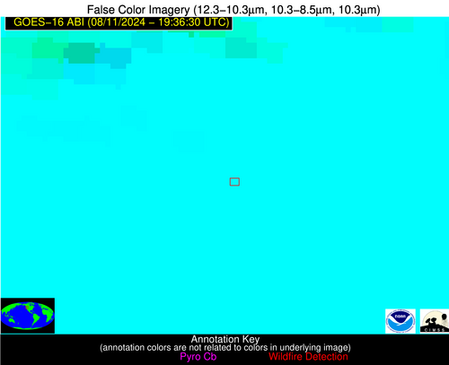
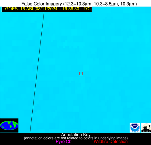
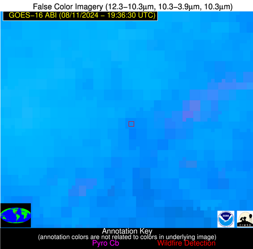
| Latest Satellite Imagery: | |
| View all event imagery » | |
Possible Wildfire
| Basic Information | |
|---|---|
| State/Province(s) | OR |
| Country/Countries | USA |
| County/Locality(s) | Wheeler County, OR |
| NWS WFO | Pendleton OR |
| Identification Method | Enhanced Contextual (Clear) |
| Mean Object Date/Time | 2024-08-11 19:36:18UTC |
| Radiative Center (Lat, Lon): | 44.920000°, -119.840000° |
| Nearby Counties (meeting alert criteria): |
|
| Total Radiative Power Anomaly | n/a |
| Total Radiative Power | 42.28 MW |
| Map: | |
| Additional Information | |
| Alert Status | New Feature |
| Type of Event | Nominal Risk |
| Event Priority Ranking | 4 |
| Maximum Observed BT (3.9 um) | 321.36 K |
| Observed - Background BT (3.9 um) | 5.88 K |
| BT Anomaly (3.9 um) | 3.20 K |
| Maximum Observed - Clear RTM BT (3.9 um) | 17.98 K |
| Maximum Observed BTD (3.9-10/11/12 um) | 20.98 K |
| Observed - Background BTD (3.9-10/11/12 um) | 2.37 K |
| BTD Anomaly (3.9-10/11/12 um) | 1.34 K |
| Similar Pixel Count | 22 |
| BT Time Tendency (3.9 um) | 0.20 K |
| Image Interval | 5.00 minutes |
| Fraction of Surrounding LWIR Pixels that are Colder | 1.00 |
| Fraction of Surrounding Red Channel Pixels that are Brighter | 1.00 |
| Maximum Radiative Power | 42.28 MW |
| Maximum Radiative Power Uncertainty | 0.00 MW |
| Total Radiative Power Uncertainty | 0.00 MW |
| Mean Viewing Angle | 68.30° |
| Mean Solar Zenith Angle | 30.10° |
| Mean Glint Angle | 91.80° |
| Water Fraction | 0.00 |
| Total Pixel Area | 18.80 km2 |
| Latest Satellite Imagery: | |
| View all event imagery » | |
Possible Wildfire
| Basic Information | |
|---|---|
| State/Province(s) | AL |
| Country/Countries | USA |
| County/Locality(s) | Sumter County, AL |
| NWS WFO | Birmingham AL |
| Identification Method | Enhanced Contextual (Clear) |
| Mean Object Date/Time | 2024-08-11 19:37:21UTC |
| Radiative Center (Lat, Lon): | 32.650000°, -88.190000° |
| Nearby Counties (meeting alert criteria): |
|
| Total Radiative Power Anomaly | n/a |
| Total Radiative Power | 30.56 MW |
| Map: | |
| Additional Information | |
| Alert Status | New Feature |
| Type of Event | Nominal Risk |
| Event Priority Ranking | 4 |
| Maximum Observed BT (3.9 um) | 309.91 K |
| Observed - Background BT (3.9 um) | 5.33 K |
| BT Anomaly (3.9 um) | 4.08 K |
| Maximum Observed - Clear RTM BT (3.9 um) | 7.28 K |
| Maximum Observed BTD (3.9-10/11/12 um) | 17.30 K |
| Observed - Background BTD (3.9-10/11/12 um) | 5.08 K |
| BTD Anomaly (3.9-10/11/12 um) | 5.02 K |
| Similar Pixel Count | 25 |
| BT Time Tendency (3.9 um) | 1.70 K |
| Image Interval | 5.00 minutes |
| Fraction of Surrounding LWIR Pixels that are Colder | 0.74 |
| Fraction of Surrounding Red Channel Pixels that are Brighter | 1.00 |
| Maximum Radiative Power | 16.82 MW |
| Maximum Radiative Power Uncertainty | 0.00 MW |
| Total Radiative Power Uncertainty | 0.00 MW |
| Mean Viewing Angle | 40.70° |
| Mean Solar Zenith Angle | 28.20° |
| Mean Glint Angle | 51.50° |
| Water Fraction | 0.00 |
| Total Pixel Area | 11.60 km2 |
| Latest Satellite Imagery: | |
| View all event imagery » | |
Possible Wildfire
| Basic Information | |
|---|---|
| State/Province(s) | GA |
| Country/Countries | USA |
| County/Locality(s) | Colquitt County, GA |
| NWS WFO | Tallahassee FL |
| Identification Method | Enhanced Contextual (Clear) |
| Mean Object Date/Time | 2024-08-11 19:37:21UTC |
| Radiative Center (Lat, Lon): | 31.180000°, -83.790000° |
| Nearby Counties (meeting alert criteria): |
|
| Total Radiative Power Anomaly | n/a |
| Total Radiative Power | 22.36 MW |
| Map: | |
| Additional Information | |
| Alert Status | New Feature |
| Type of Event | Likely an Urban Source |
| Event Priority Ranking | 5 |
| Maximum Observed BT (3.9 um) | 311.31 K |
| Observed - Background BT (3.9 um) | 5.67 K |
| BT Anomaly (3.9 um) | 8.89 K |
| Maximum Observed - Clear RTM BT (3.9 um) | 8.47 K |
| Maximum Observed BTD (3.9-10/11/12 um) | 17.06 K |
| Observed - Background BTD (3.9-10/11/12 um) | 5.42 K |
| BTD Anomaly (3.9-10/11/12 um) | 4.75 K |
| Similar Pixel Count | 24 |
| BT Time Tendency (3.9 um) | -0.40 K |
| Image Interval | 5.00 minutes |
| Fraction of Surrounding LWIR Pixels that are Colder | 0.76 |
| Fraction of Surrounding Red Channel Pixels that are Brighter | 0.81 |
| Maximum Radiative Power | 22.36 MW |
| Maximum Radiative Power Uncertainty | 0.00 MW |
| Total Radiative Power Uncertainty | 0.00 MW |
| Mean Viewing Angle | 37.70° |
| Mean Solar Zenith Angle | 30.80° |
| Mean Glint Angle | 50.40° |
| Water Fraction | 0.00 |
| Total Pixel Area | 5.40 km2 |
| Latest Satellite Imagery: | |
| View all event imagery » | |


