Jan 2026: Due to an ongoing data center cooling system construction project, NGFS data outages may occur with little or no notice.
Wildfire Alert Report
| Date: | 2024-08-10 |
|---|---|
| Time: | 04:11:17 |
| Production Date and Time: | 2024-08-10 04:15:45 UTC |
| Primary Instrument: | GOES-16 ABI |
| Wmo Spacecraft Id: | 152 |
| Location/orbit: | GEO |
| L1 File: | OR_ABI-L1b-RadC-M6C14_G16_s20242230411172_e20242230413545_c20242230414024.nc |
| L1 File(s) - Temporal | OR_ABI-L1b-RadC-M6C14_G16_s20242230406172_e20242230408545_c20242230409030.nc |
| Number Of Thermal Anomaly Alerts: | 3 |
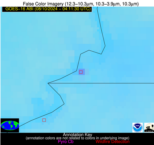
Possible Wildfire
| Basic Information | |
|---|---|
| State/Province(s) | Alberta |
| Country/Countries | Canada |
| County/Locality(s) | Canada |
| NWS WFO | N/A |
| Identification Method | Enhanced Contextual (Clear) |
| Mean Object Date/Time | 2024-08-10 04:11:19UTC |
| Radiative Center (Lat, Lon): | 51.960000°, -114.740000° |
| Nearby Counties (meeting alert criteria): |
|
| Total Radiative Power Anomaly | n/a |
| Total Radiative Power | 7.12 MW |
| Map: | |
| Additional Information | |
| Alert Status | New Feature |
| Type of Event | Oil/gas |
| Event Priority Ranking | 5 |
| Maximum Observed BT (3.9 um) | 284.34 K |
| Observed - Background BT (3.9 um) | 2.34 K |
| BT Anomaly (3.9 um) | 2.43 K |
| Maximum Observed - Clear RTM BT (3.9 um) | 3.21 K |
| Maximum Observed BTD (3.9-10/11/12 um) | 2.53 K |
| Observed - Background BTD (3.9-10/11/12 um) | 1.99 K |
| BTD Anomaly (3.9-10/11/12 um) | 5.97 K |
| Similar Pixel Count | 3 |
| BT Time Tendency (3.9 um) | 1.50 K |
| Image Interval | 5.00 minutes |
| Fraction of Surrounding LWIR Pixels that are Colder | 0.71 |
| Fraction of Surrounding Red Channel Pixels that are Brighter | 1.00 |
| Maximum Radiative Power | 7.12 MW |
| Maximum Radiative Power Uncertainty | 0.00 MW |
| Total Radiative Power Uncertainty | 0.00 MW |
| Mean Viewing Angle | 70.30° |
| Mean Solar Zenith Angle | 98.10° |
| Mean Glint Angle | 28.20° |
| Water Fraction | 0.00 |
| Total Pixel Area | 20.20 km2 |
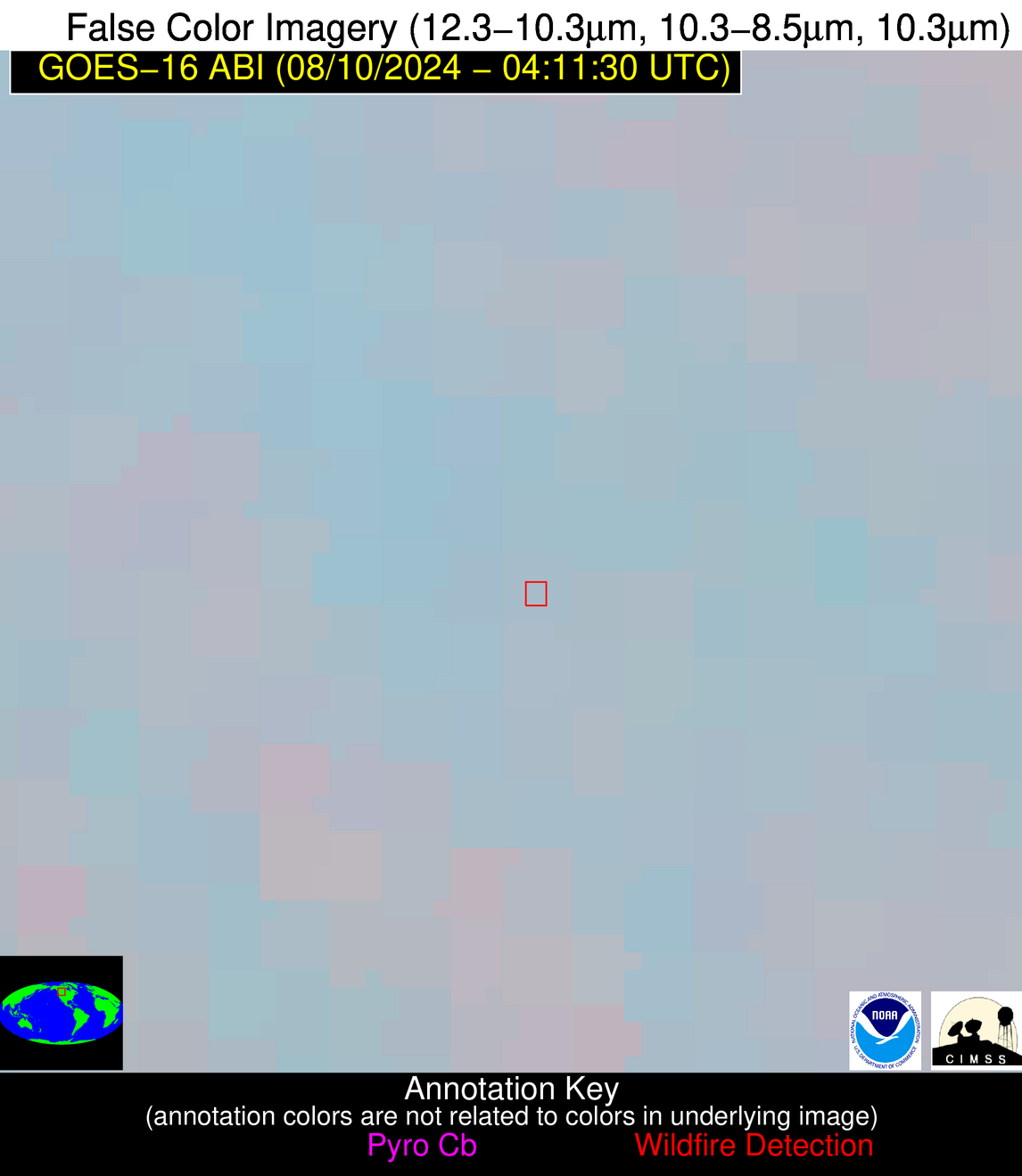
| Latest Satellite Imagery: | |
| View all event imagery » | |
Possible Wildfire
| Basic Information | |
|---|---|
| State/Province(s) | KY |
| Country/Countries | USA |
| County/Locality(s) | Nicholas County, KY |
| NWS WFO | Louisville KY |
| Identification Method | Enhanced Contextual (Clear) |
| Mean Object Date/Time | 2024-08-10 04:11:51UTC |
| Radiative Center (Lat, Lon): | 38.290000°, -83.960000° |
| Nearby Counties (meeting alert criteria): |
|
| Total Radiative Power Anomaly | n/a |
| Total Radiative Power | 4.44 MW |
| Map: | |
| Additional Information | |
| Alert Status | New Feature |
| Type of Event | Nominal Risk |
| Event Priority Ranking | 4 |
| Maximum Observed BT (3.9 um) | 291.44 K |
| Observed - Background BT (3.9 um) | 2.79 K |
| BT Anomaly (3.9 um) | 2.31 K |
| Maximum Observed - Clear RTM BT (3.9 um) | 3.21 K |
| Maximum Observed BTD (3.9-10/11/12 um) | 4.90 K |
| Observed - Background BTD (3.9-10/11/12 um) | 2.25 K |
| BTD Anomaly (3.9-10/11/12 um) | 3.96 K |
| Similar Pixel Count | 4 |
| BT Time Tendency (3.9 um) | 1.10 K |
| Image Interval | 5.00 minutes |
| Fraction of Surrounding LWIR Pixels that are Colder | 0.84 |
| Fraction of Surrounding Red Channel Pixels that are Brighter | 1.00 |
| Maximum Radiative Power | 4.44 MW |
| Maximum Radiative Power Uncertainty | 0.00 MW |
| Total Radiative Power Uncertainty | 0.00 MW |
| Mean Viewing Angle | 45.50° |
| Mean Solar Zenith Angle | 122.00° |
| Mean Glint Angle | 77.20° |
| Water Fraction | 0.00 |
| Total Pixel Area | 6.30 km2 |
| Latest Satellite Imagery: | |
| View all event imagery » | |
Possible Wildfire
| Basic Information | |
|---|---|
| State/Province(s) | TN |
| Country/Countries | USA |
| County/Locality(s) | Shelby County, TN |
| NWS WFO | Memphis TN |
| Identification Method | Enhanced Contextual (Clear) |
| Mean Object Date/Time | 2024-08-10 04:12:21UTC |
| Radiative Center (Lat, Lon): | 35.040000°, -90.170000° |
| Nearby Counties (meeting alert criteria): |
|
| Total Radiative Power Anomaly | n/a |
| Total Radiative Power | 20.68 MW |
| Map: | |
| Additional Information | |
| Alert Status | New Feature |
| Type of Event | Ferrous-metal |
| Event Priority Ranking | 5 |
| Maximum Observed BT (3.9 um) | 300.17 K |
| Observed - Background BT (3.9 um) | 8.22 K |
| BT Anomaly (3.9 um) | 6.08 K |
| Maximum Observed - Clear RTM BT (3.9 um) | 8.39 K |
| Maximum Observed BTD (3.9-10/11/12 um) | 10.74 K |
| Observed - Background BTD (3.9-10/11/12 um) | 7.92 K |
| BTD Anomaly (3.9-10/11/12 um) | 11.77 K |
| Similar Pixel Count | 1 |
| BT Time Tendency (3.9 um) | 7.20 K |
| Image Interval | 5.00 minutes |
| Fraction of Surrounding LWIR Pixels that are Colder | 0.61 |
| Fraction of Surrounding Red Channel Pixels that are Brighter | 1.00 |
| Maximum Radiative Power | 20.68 MW |
| Maximum Radiative Power Uncertainty | 0.00 MW |
| Total Radiative Power Uncertainty | 0.00 MW |
| Mean Viewing Angle | 43.90° |
| Mean Solar Zenith Angle | 122.40° |
| Mean Glint Angle | 78.80° |
| Water Fraction | 0.00 |
| Total Pixel Area | 6.20 km2 |
| Latest Satellite Imagery: | |
| View all event imagery » | |
