Jan 2026: Due to an ongoing data center cooling system construction project, NGFS data outages may occur with little or no notice.
Wildfire Alert Report
| Date: | 2024-08-10 |
|---|---|
| Time: | 02:46:17 |
| Production Date and Time: | 2024-08-10 02:50:48 UTC |
| Primary Instrument: | GOES-16 ABI |
| Wmo Spacecraft Id: | 152 |
| Location/orbit: | GEO |
| L1 File: | OR_ABI-L1b-RadC-M6C14_G16_s20242230246172_e20242230248545_c20242230249029.nc |
| L1 File(s) - Temporal | OR_ABI-L1b-RadC-M6C14_G16_s20242230241172_e20242230243545_c20242230244041.nc |
| Number Of Thermal Anomaly Alerts: | 3 |
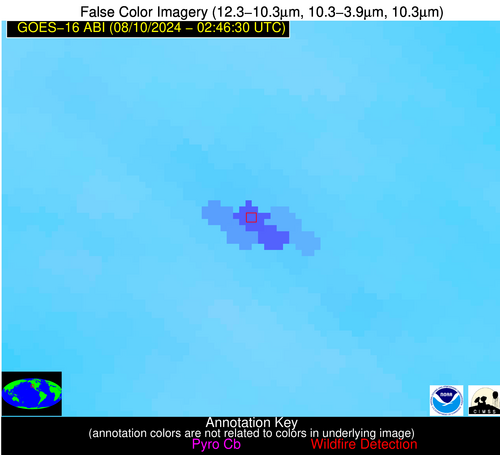
Possible Wildfire
| Basic Information | |
|---|---|
| State/Province(s) | British Columbia |
| Country/Countries | Canada |
| County/Locality(s) | Canada |
| NWS WFO | N/A |
| Identification Method | Enhanced Contextual (Cloud) |
| Mean Object Date/Time | 2024-08-10 02:46:19UTC |
| Radiative Center (Lat, Lon): | 53.840000°, -126.600000° |
| Nearby Counties (meeting alert criteria): |
|
| Total Radiative Power Anomaly | n/a |
| Total Radiative Power | 3901.31 MW |
| Map: | |
| Additional Information | |
| Alert Status | New Feature |
| Type of Event | Likely a Solar Farm |
| Event Priority Ranking | 4 |
| Maximum Observed BT (3.9 um) | 329.90 K |
| Observed - Background BT (3.9 um) | 45.95 K |
| BT Anomaly (3.9 um) | 5.41 K |
| Maximum Observed - Clear RTM BT (3.9 um) | 46.25 K |
| Maximum Observed BTD (3.9-10/11/12 um) | 85.88 K |
| Observed - Background BTD (3.9-10/11/12 um) | 45.93 K |
| BTD Anomaly (3.9-10/11/12 um) | 5.10 K |
| Similar Pixel Count | 0 |
| BT Time Tendency (3.9 um) | 7.70 K |
| Image Interval | 5.00 minutes |
| Fraction of Surrounding LWIR Pixels that are Colder | 0.39 |
| Fraction of Surrounding Red Channel Pixels that are Brighter | 0.00 |
| Maximum Radiative Power | 3901.31 MW |
| Maximum Radiative Power Uncertainty | 0.00 MW |
| Total Radiative Power Uncertainty | 0.00 MW |
| Mean Viewing Angle | 77.70° |
| Mean Solar Zenith Angle | 79.50° |
| Mean Glint Angle | 20.10° |
| Water Fraction | 0.00 |
| Total Pixel Area | 46.20 km2 |
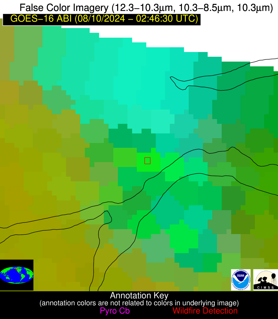
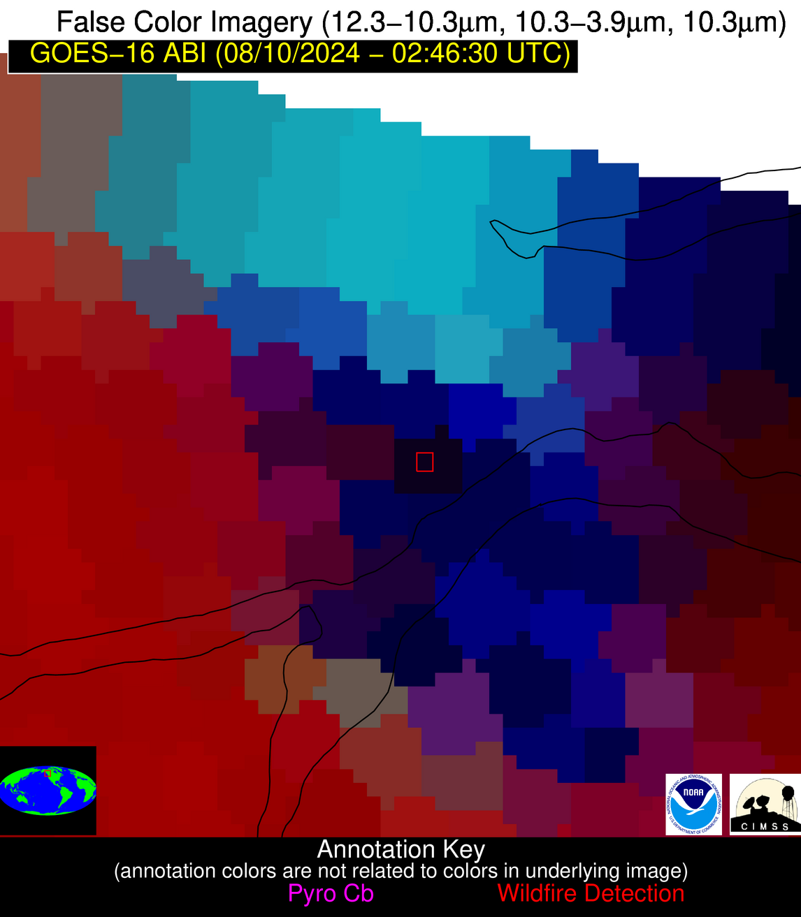
| Latest Satellite Imagery: | |
| View all event imagery » | |
Possible Wildfire
| Basic Information | |
|---|---|
| State/Province(s) | IN |
| Country/Countries | USA |
| County/Locality(s) | Montgomery County, IN |
| NWS WFO | Indianapolis IN |
| Identification Method | Enhanced Contextual (Clear) |
| Mean Object Date/Time | 2024-08-10 02:46:51UTC |
| Radiative Center (Lat, Lon): | 39.970000°, -86.830000° |
| Nearby Counties (meeting alert criteria): |
|
| Total Radiative Power Anomaly | n/a |
| Total Radiative Power | 6.71 MW |
| Map: | |
| Additional Information | |
| Alert Status | New Feature |
| Type of Event | Ferrous-metal |
| Event Priority Ranking | 5 |
| Maximum Observed BT (3.9 um) | 288.99 K |
| Observed - Background BT (3.9 um) | 4.19 K |
| BT Anomaly (3.9 um) | 6.06 K |
| Maximum Observed - Clear RTM BT (3.9 um) | 3.81 K |
| Maximum Observed BTD (3.9-10/11/12 um) | 5.06 K |
| Observed - Background BTD (3.9-10/11/12 um) | 3.49 K |
| BTD Anomaly (3.9-10/11/12 um) | 8.72 K |
| Similar Pixel Count | 1 |
| BT Time Tendency (3.9 um) | 2.20 K |
| Image Interval | 5.00 minutes |
| Fraction of Surrounding LWIR Pixels that are Colder | 0.96 |
| Fraction of Surrounding Red Channel Pixels that are Brighter | 1.00 |
| Maximum Radiative Power | 6.71 MW |
| Maximum Radiative Power Uncertainty | 0.00 MW |
| Total Radiative Power Uncertainty | 0.00 MW |
| Mean Viewing Angle | 48.00° |
| Mean Solar Zenith Angle | 109.50° |
| Mean Glint Angle | 67.40° |
| Water Fraction | 0.00 |
| Total Pixel Area | 6.70 km2 |
| Latest Satellite Imagery: | |
| View all event imagery » | |
Possible Wildfire
| Basic Information | |
|---|---|
| State/Province(s) | CA |
| Country/Countries | USA |
| County/Locality(s) | Stanislaus County, CA |
| NWS WFO | Sacramento CA |
| Identification Method | Enhanced Contextual (Cloud) |
| Mean Object Date/Time | 2024-08-10 02:47:18UTC |
| Radiative Center (Lat, Lon): | 37.630000°, -121.000000° |
| Nearby Counties (meeting alert criteria): |
|
| Total Radiative Power Anomaly | n/a |
| Total Radiative Power | 254.61 MW |
| Map: | |
| Additional Information | |
| Alert Status | New Feature |
| Type of Event | Nominal Risk |
| Event Priority Ranking | 4 |
| Maximum Observed BT (3.9 um) | 315.86 K |
| Observed - Background BT (3.9 um) | 18.42 K |
| BT Anomaly (3.9 um) | 28.81 K |
| Maximum Observed - Clear RTM BT (3.9 um) | 15.45 K |
| Maximum Observed BTD (3.9-10/11/12 um) | 19.96 K |
| Observed - Background BTD (3.9-10/11/12 um) | 16.62 K |
| BTD Anomaly (3.9-10/11/12 um) | 47.20 K |
| Similar Pixel Count | 0 |
| BT Time Tendency (3.9 um) | 9.40 K |
| Image Interval | 5.00 minutes |
| Fraction of Surrounding LWIR Pixels that are Colder | 1.00 |
| Fraction of Surrounding Red Channel Pixels that are Brighter | 0.57 |
| Maximum Radiative Power | 132.45 MW |
| Maximum Radiative Power Uncertainty | 0.00 MW |
| Total Radiative Power Uncertainty | 0.00 MW |
| Mean Viewing Angle | 64.70° |
| Mean Solar Zenith Angle | 87.60° |
| Mean Glint Angle | 25.90° |
| Water Fraction | 0.00 |
| Total Pixel Area | 30.20 km2 |
| Latest Satellite Imagery: | |
| View all event imagery » | |
