Jan 2026: Due to an ongoing data center cooling system construction project, NGFS data outages may occur with little or no notice.
Wildfire Alert Report
| Date: | 2024-08-09 |
|---|---|
| Time: | 18:41:17 |
| Production Date and Time: | 2024-08-09 18:45:56 UTC |
| Primary Instrument: | GOES-16 ABI |
| Wmo Spacecraft Id: | 152 |
| Location/orbit: | GEO |
| L1 File: | OR_ABI-L1b-RadC-M6C14_G16_s20242221841171_e20242221843544_c20242221844024.nc |
| L1 File(s) - Temporal | OR_ABI-L1b-RadC-M6C14_G16_s20242221836171_e20242221838544_c20242221839017.nc |
| Number Of Thermal Anomaly Alerts: | 3 |
Possible Wildfire
| Basic Information | |
|---|---|
| State/Province(s) | MS |
| Country/Countries | USA |
| County/Locality(s) | Covington County, MS |
| NWS WFO | Jackson MS |
| Identification Method | Enhanced Contextual (Clear) |
| Mean Object Date/Time | 2024-08-09 18:42:21UTC |
| Radiative Center (Lat, Lon): | 31.670000°, -89.600000° |
| Nearby Counties (meeting alert criteria): |
|
| Total Radiative Power Anomaly | n/a |
| Total Radiative Power | 32.68 MW |
| Map: | |
| Additional Information | |
| Alert Status | New Feature |
| Type of Event | Nominal Risk |
| Event Priority Ranking | 4 |
| Maximum Observed BT (3.9 um) | 314.31 K |
| Observed - Background BT (3.9 um) | 7.80 K |
| BT Anomaly (3.9 um) | 11.00 K |
| Maximum Observed - Clear RTM BT (3.9 um) | 11.57 K |
| Maximum Observed BTD (3.9-10/11/12 um) | 21.70 K |
| Observed - Background BTD (3.9-10/11/12 um) | 7.42 K |
| BTD Anomaly (3.9-10/11/12 um) | 7.83 K |
| Similar Pixel Count | 17 |
| BT Time Tendency (3.9 um) | 3.30 K |
| Image Interval | 5.00 minutes |
| Fraction of Surrounding LWIR Pixels that are Colder | 0.67 |
| Fraction of Surrounding Red Channel Pixels that are Brighter | 0.70 |
| Maximum Radiative Power | 32.68 MW |
| Maximum Radiative Power Uncertainty | 0.00 MW |
| Total Radiative Power Uncertainty | 0.00 MW |
| Mean Viewing Angle | 40.20° |
| Mean Solar Zenith Angle | 17.80° |
| Mean Glint Angle | 51.80° |
| Water Fraction | 0.00 |
| Total Pixel Area | 5.80 km2 |
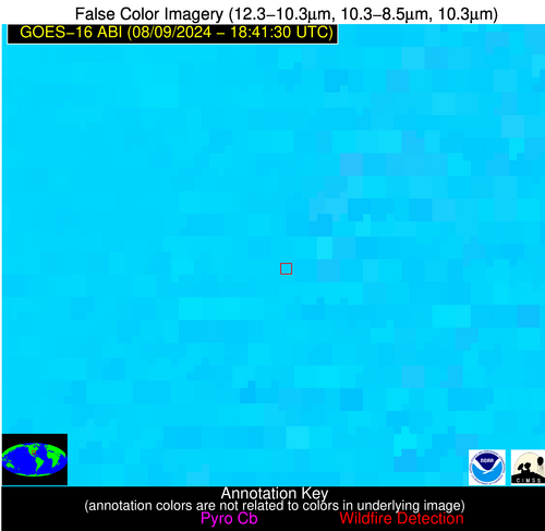
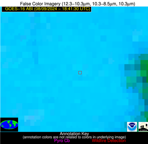
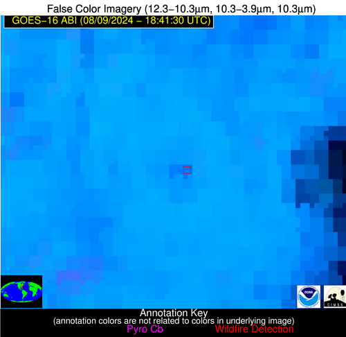
| Latest Satellite Imagery: | |
| View all event imagery » | |
Possible Wildfire
| Basic Information | |
|---|---|
| State/Province(s) | GA |
| Country/Countries | USA |
| County/Locality(s) | Irwin County, GA |
| NWS WFO | Tallahassee FL |
| Identification Method | Enhanced Contextual (Clear) |
| Mean Object Date/Time | 2024-08-09 18:42:21UTC |
| Radiative Center (Lat, Lon): | 31.550000°, -83.340000° |
| Nearby Counties (meeting alert criteria): |
|
| Total Radiative Power Anomaly | n/a |
| Total Radiative Power | 45.71 MW |
| Map: | |
| Additional Information | |
| Alert Status | New Feature |
| Type of Event | Nominal Risk |
| Event Priority Ranking | 4 |
| Maximum Observed BT (3.9 um) | 313.12 K |
| Observed - Background BT (3.9 um) | 6.00 K |
| BT Anomaly (3.9 um) | 6.55 K |
| Maximum Observed - Clear RTM BT (3.9 um) | 9.76 K |
| Maximum Observed BTD (3.9-10/11/12 um) | 18.62 K |
| Observed - Background BTD (3.9-10/11/12 um) | 5.88 K |
| BTD Anomaly (3.9-10/11/12 um) | 5.45 K |
| Similar Pixel Count | 15 |
| BT Time Tendency (3.9 um) | 2.70 K |
| Image Interval | 5.00 minutes |
| Fraction of Surrounding LWIR Pixels that are Colder | 0.53 |
| Fraction of Surrounding Red Channel Pixels that are Brighter | 0.47 |
| Maximum Radiative Power | 25.54 MW |
| Maximum Radiative Power Uncertainty | 0.00 MW |
| Total Radiative Power Uncertainty | 0.00 MW |
| Mean Viewing Angle | 38.00° |
| Mean Solar Zenith Angle | 21.10° |
| Mean Glint Angle | 50.90° |
| Water Fraction | 0.00 |
| Total Pixel Area | 10.90 km2 |
| Latest Satellite Imagery: | |
| View all event imagery » | |
Possible Wildfire
| Basic Information | |
|---|---|
| State/Province(s) | FL |
| Country/Countries | USA |
| County/Locality(s) | DeSoto County, FL |
| NWS WFO | Tampa Bay Ruskin FL |
| Identification Method | Enhanced Contextual (Clear) |
| Mean Object Date/Time | 2024-08-09 18:42:52UTC |
| Radiative Center (Lat, Lon): | 27.300000°, -81.790000° |
| Nearby Counties (meeting alert criteria): |
|
| Total Radiative Power Anomaly | n/a |
| Total Radiative Power | 72.25 MW |
| Map: | |
| Additional Information | |
| Alert Status | New Feature |
| Type of Event | Solar panel (database + spectral) |
| Event Priority Ranking | 5 |
| Maximum Observed BT (3.9 um) | 318.52 K |
| Observed - Background BT (3.9 um) | 11.07 K |
| BT Anomaly (3.9 um) | 12.84 K |
| Maximum Observed - Clear RTM BT (3.9 um) | 14.23 K |
| Maximum Observed BTD (3.9-10/11/12 um) | 27.00 K |
| Observed - Background BTD (3.9-10/11/12 um) | 11.41 K |
| BTD Anomaly (3.9-10/11/12 um) | 11.78 K |
| Similar Pixel Count | 7 |
| BT Time Tendency (3.9 um) | 1.40 K |
| Image Interval | 5.00 minutes |
| Fraction of Surrounding LWIR Pixels that are Colder | 0.35 |
| Fraction of Surrounding Red Channel Pixels that are Brighter | 0.00 |
| Maximum Radiative Power | 45.90 MW |
| Maximum Radiative Power Uncertainty | 0.00 MW |
| Total Radiative Power Uncertainty | 0.00 MW |
| Mean Viewing Angle | 32.90° |
| Mean Solar Zenith Angle | 19.50° |
| Mean Glint Angle | 42.50° |
| Water Fraction | 0.00 |
| Total Pixel Area | 10.10 km2 |
| Latest Satellite Imagery: | |
| View all event imagery » | |


