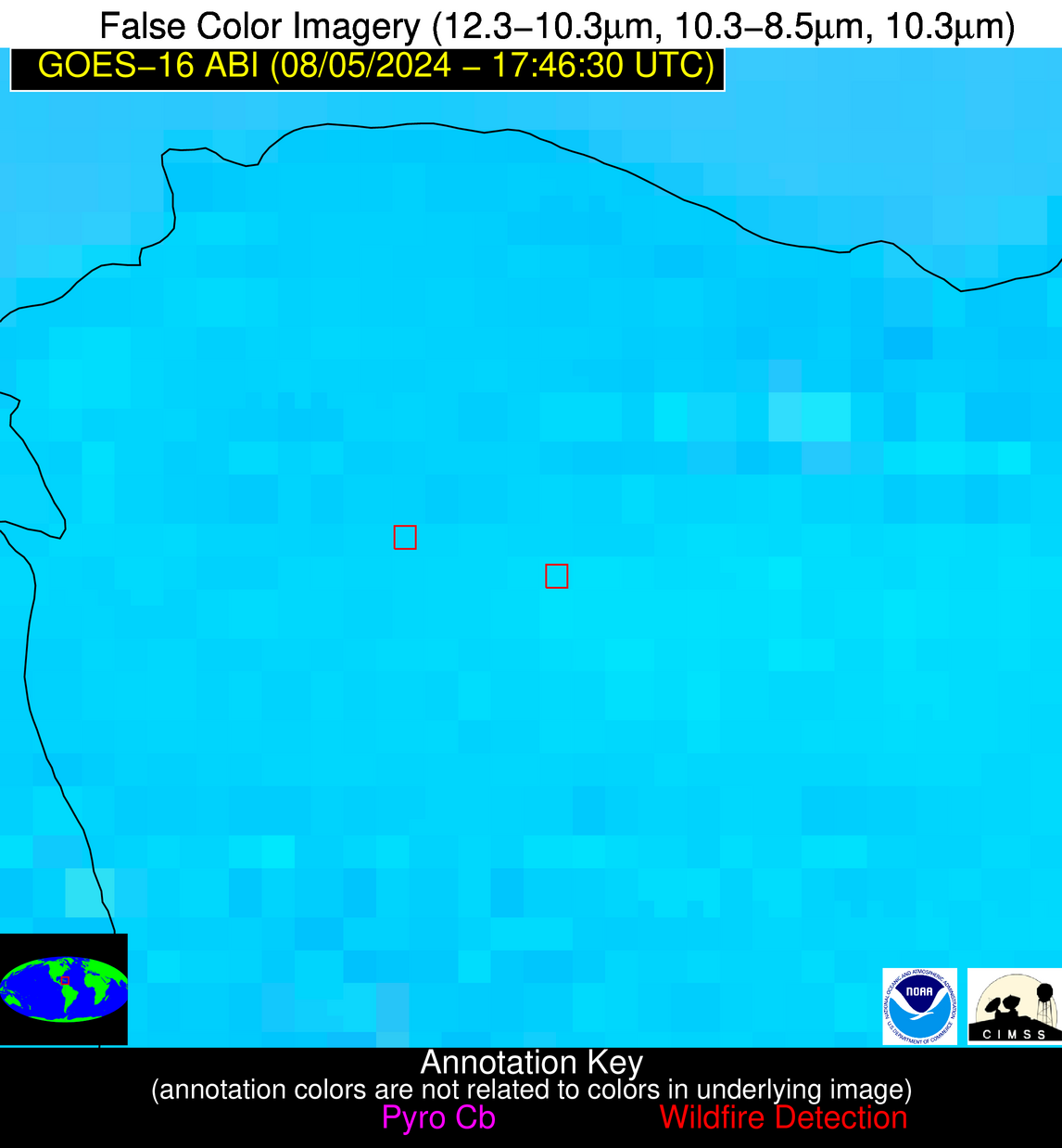
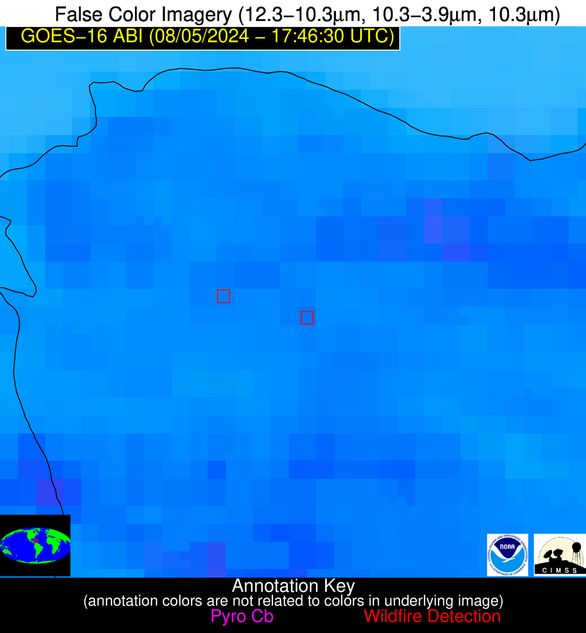
Wildfire Alert Report
| Date: | 2024-08-05 |
|---|---|
| Time: | 17:46:17 |
| Production Date and Time: | 2024-08-05 17:51:07 UTC |
| Primary Instrument: | GOES-16 ABI |
| Wmo Spacecraft Id: | 152 |
| Location/orbit: | GEO |
| L1 File: | OR_ABI-L1b-RadC-M6C14_G16_s20242181746170_e20242181748543_c20242181749007.nc |
| L1 File(s) - Temporal | OR_ABI-L1b-RadC-M6C14_G16_s20242181741170_e20242181743543_c20242181744021.nc |
| Number Of Thermal Anomaly Alerts: | 4 |
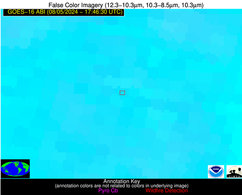
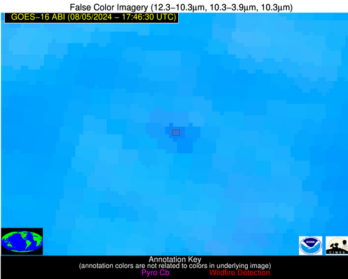
Possible Wildfire
| Basic Information | |
|---|---|
| State/Province(s) | MT |
| Country/Countries | USA |
| County/Locality(s) | Beaverhead County, MT |
| NWS WFO | Great Falls MT |
| Identification Method | Enhanced Contextual (Clear) |
| Mean Object Date/Time | 2024-08-05 17:46:19UTC |
| Radiative Center (Lat, Lon): | 45.690000°, -113.120000° |
| Nearby Counties (meeting alert criteria): |
|
| Total Radiative Power Anomaly | n/a |
| Total Radiative Power | 43.15 MW |
| Map: | |
| Additional Information | |
| Alert Status | New Feature |
| Type of Event | Nominal Risk, Known Incident: GROUSE (HIGH, tdiff=0.74882 days, PERIMETER) |
| Event Priority Ranking | 4 |
| Maximum Observed BT (3.9 um) | 308.89 K |
| Observed - Background BT (3.9 um) | 5.26 K |
| BT Anomaly (3.9 um) | 2.17 K |
| Maximum Observed - Clear RTM BT (3.9 um) | 8.46 K |
| Maximum Observed BTD (3.9-10/11/12 um) | 16.00 K |
| Observed - Background BTD (3.9-10/11/12 um) | 4.97 K |
| BTD Anomaly (3.9-10/11/12 um) | 4.06 K |
| Similar Pixel Count | 13 |
| BT Time Tendency (3.9 um) | 2.60 K |
| Image Interval | 5.00 minutes |
| Fraction of Surrounding LWIR Pixels that are Colder | 0.59 |
| Fraction of Surrounding Red Channel Pixels that are Brighter | 1.00 |
| Maximum Radiative Power | 25.44 MW |
| Maximum Radiative Power Uncertainty | 0.00 MW |
| Total Radiative Power Uncertainty | 0.00 MW |
| Mean Viewing Angle | 64.80° |
| Mean Solar Zenith Angle | 36.90° |
| Mean Glint Angle | 101.70° |
| Water Fraction | 0.00 |
| Total Pixel Area | 28.80 km2 |
| Latest Satellite Imagery: | |
| View all event imagery » | |
Possible Wildfire
| Basic Information | |
|---|---|
| State/Province(s) | MN |
| Country/Countries | USA |
| County/Locality(s) | Mower County, MN |
| NWS WFO | La Crosse WI |
| Identification Method | Enhanced Contextual (Clear) |
| Mean Object Date/Time | 2024-08-05 17:46:21UTC |
| Radiative Center (Lat, Lon): | 43.670000°, -92.980000° |
| Nearby Counties (meeting alert criteria): |
|
| Total Radiative Power Anomaly | n/a |
| Total Radiative Power | 21.98 MW |
| Map: | |
| Additional Information | |
| Alert Status | New Feature |
| Type of Event | Likely an Urban Source |
| Event Priority Ranking | 5 |
| Maximum Observed BT (3.9 um) | 305.15 K |
| Observed - Background BT (3.9 um) | 4.74 K |
| BT Anomaly (3.9 um) | 6.64 K |
| Maximum Observed - Clear RTM BT (3.9 um) | 12.47 K |
| Maximum Observed BTD (3.9-10/11/12 um) | 18.71 K |
| Observed - Background BTD (3.9-10/11/12 um) | 4.31 K |
| BTD Anomaly (3.9-10/11/12 um) | 4.07 K |
| Similar Pixel Count | 25 |
| BT Time Tendency (3.9 um) | -0.40 K |
| Image Interval | 5.00 minutes |
| Fraction of Surrounding LWIR Pixels that are Colder | 0.82 |
| Fraction of Surrounding Red Channel Pixels that are Brighter | 0.65 |
| Maximum Radiative Power | 21.98 MW |
| Maximum Radiative Power Uncertainty | 0.00 MW |
| Total Radiative Power Uncertainty | 0.00 MW |
| Mean Viewing Angle | 53.70° |
| Mean Solar Zenith Angle | 27.30° |
| Mean Glint Angle | 80.80° |
| Water Fraction | 0.00 |
| Total Pixel Area | 8.00 km2 |
| Latest Satellite Imagery: | |
| View all event imagery » | |
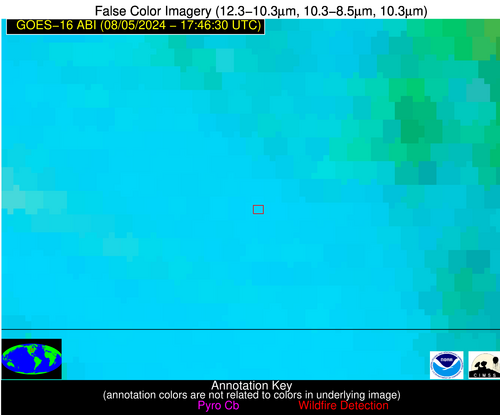
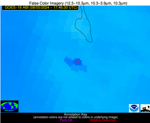
Possible Wildfire
| Basic Information | |
|---|---|
| State/Province(s) | ID |
| Country/Countries | USA |
| County/Locality(s) | Valley County, ID |
| NWS WFO | Boise ID |
| Identification Method | Enhanced Contextual (Clear) |
| Mean Object Date/Time | 2024-08-05 17:46:49UTC |
| Radiative Center (Lat, Lon): | 44.410000°, -116.110000° |
| Nearby Counties (meeting alert criteria): |
|
| Total Radiative Power Anomaly | n/a |
| Total Radiative Power | 71.87 MW |
| Map: | |
| Additional Information | |
| Alert Status | New Feature |
| Type of Event | Nominal Risk, Known Incident: BOULDER (MEDIUM, tdiff=0.24688 days, PERIMETER) |
| Event Priority Ranking | 4 |
| Maximum Observed BT (3.9 um) | 313.04 K |
| Observed - Background BT (3.9 um) | 8.79 K |
| BT Anomaly (3.9 um) | 4.61 K |
| Maximum Observed - Clear RTM BT (3.9 um) | 13.70 K |
| Maximum Observed BTD (3.9-10/11/12 um) | 20.40 K |
| Observed - Background BTD (3.9-10/11/12 um) | 8.97 K |
| BTD Anomaly (3.9-10/11/12 um) | 8.33 K |
| Similar Pixel Count | 4 |
| BT Time Tendency (3.9 um) | 8.60 K |
| Image Interval | 5.00 minutes |
| Fraction of Surrounding LWIR Pixels that are Colder | 0.32 |
| Fraction of Surrounding Red Channel Pixels that are Brighter | 1.00 |
| Maximum Radiative Power | 71.87 MW |
| Maximum Radiative Power Uncertainty | 0.00 MW |
| Total Radiative Power Uncertainty | 0.00 MW |
| Mean Viewing Angle | 65.70° |
| Mean Solar Zenith Angle | 37.70° |
| Mean Glint Angle | 103.30° |
| Water Fraction | 0.00 |
| Total Pixel Area | 15.50 km2 |
| Latest Satellite Imagery: | |
| View all event imagery » | |
Possible Wildfire
| Basic Information | |
|---|---|
| State/Province(s) | Unknown |
| Country/Countries | Dominican Republic |
| County/Locality(s) | Dominican Republic |
| NWS WFO | N/A |
| Identification Method | Enhanced Contextual (Clear) |
| Mean Object Date/Time | 2024-08-05 17:48:23UTC |
| Radiative Center (Lat, Lon): | 19.680000°, -71.470000° |
| Nearby Counties (meeting alert criteria): |
|
| Total Radiative Power Anomaly | n/a |
| Total Radiative Power | 10.79 MW |
| Map: | |
| Additional Information | |
| Alert Status | New Feature |
| Type of Event | Nominal Risk |
| Event Priority Ranking | 4 |
| Maximum Observed BT (3.9 um) | 320.64 K |
| Observed - Background BT (3.9 um) | 4.26 K |
| BT Anomaly (3.9 um) | 2.26 K |
| Maximum Observed - Clear RTM BT (3.9 um) | 4.93 K |
| Maximum Observed BTD (3.9-10/11/12 um) | 21.99 K |
| Observed - Background BTD (3.9-10/11/12 um) | 3.17 K |
| BTD Anomaly (3.9-10/11/12 um) | 2.32 K |
| Similar Pixel Count | 25 |
| BT Time Tendency (3.9 um) | 2.90 K |
| Image Interval | 5.00 minutes |
| Fraction of Surrounding LWIR Pixels that are Colder | 0.90 |
| Fraction of Surrounding Red Channel Pixels that are Brighter | 1.00 |
| Maximum Radiative Power | 10.79 MW |
| Maximum Radiative Power Uncertainty | 0.00 MW |
| Total Radiative Power Uncertainty | 0.00 MW |
| Mean Viewing Angle | 23.60° |
| Mean Solar Zenith Angle | 13.20° |
| Mean Glint Angle | 30.50° |
| Water Fraction | 0.00 |
| Total Pixel Area | 4.50 km2 |
| Latest Satellite Imagery: | |
| View all event imagery » | |
