Jan 2026: Due to an ongoing data center cooling system construction project, NGFS data outages may occur with little or no notice.
Wildfire Alert Report
| Date: | 2024-07-31 |
|---|---|
| Time: | 16:21:17 |
| Production Date and Time: | 2024-07-31 16:25:57 UTC |
| Primary Instrument: | GOES-16 ABI |
| Wmo Spacecraft Id: | 152 |
| Location/orbit: | GEO |
| L1 File: | OR_ABI-L1b-RadC-M6C14_G16_s20242131621175_e20242131623548_c20242131624044.nc |
| L1 File(s) - Temporal | OR_ABI-L1b-RadC-M6C14_G16_s20242131616175_e20242131618548_c20242131619040.nc |
| Number Of Thermal Anomaly Alerts: | 2 |
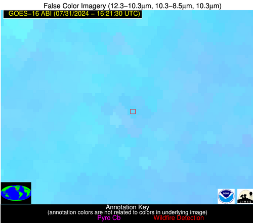
Possible Wildfire
| Basic Information | |
|---|---|
| State/Province(s) | UT |
| Country/Countries | USA |
| County/Locality(s) | Beaver County, UT |
| NWS WFO | Salt Lake City UT |
| Identification Method | Enhanced Contextual (Cloud) |
| Mean Object Date/Time | 2024-07-31 16:21:48UTC |
| Radiative Center (Lat, Lon): | 38.330000°, -112.990000° |
| Nearby Counties (meeting alert criteria): |
|
| Total Radiative Power Anomaly | n/a |
| Total Radiative Power | 679.17 MW |
| Map: | |
| Additional Information | |
| Alert Status | New Feature |
| Type of Event | Nominal Risk |
| Event Priority Ranking | 4 |
| Maximum Observed BT (3.9 um) | 350.63 K |
| Observed - Background BT (3.9 um) | 41.10 K |
| BT Anomaly (3.9 um) | 28.15 K |
| Maximum Observed - Clear RTM BT (3.9 um) | 43.35 K |
| Maximum Observed BTD (3.9-10/11/12 um) | 49.69 K |
| Observed - Background BTD (3.9-10/11/12 um) | 42.11 K |
| BTD Anomaly (3.9-10/11/12 um) | 71.46 K |
| Similar Pixel Count | 0 |
| BT Time Tendency (3.9 um) | 19.90 K |
| Image Interval | 5.00 minutes |
| Fraction of Surrounding LWIR Pixels that are Colder | 0.06 |
| Fraction of Surrounding Red Channel Pixels that are Brighter | 0.88 |
| Maximum Radiative Power | 558.01 MW |
| Maximum Radiative Power Uncertainty | 0.00 MW |
| Total Radiative Power Uncertainty | 0.00 MW |
| Mean Viewing Angle | 59.50° |
| Mean Solar Zenith Angle | 47.00° |
| Mean Glint Angle | 102.10° |
| Water Fraction | 0.00 |
| Total Pixel Area | 33.30 km2 |
| Latest Satellite Imagery: | |
| View all event imagery » | |
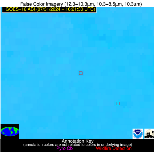
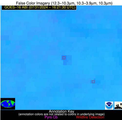
Possible Wildfire
| Basic Information | |
|---|---|
| State/Province(s) | LA |
| Country/Countries | USA |
| County/Locality(s) | Natchitoches Parish, LA |
| NWS WFO | Shreveport LA |
| Identification Method | Enhanced Contextual (Clear) |
| Mean Object Date/Time | 2024-07-31 16:22:20UTC |
| Radiative Center (Lat, Lon): | 31.390000°, -92.980000° |
| Nearby Counties (meeting alert criteria): |
|
| Total Radiative Power Anomaly | n/a |
| Total Radiative Power | 32.20 MW |
| Map: | |
| Additional Information | |
| Alert Status | New Feature |
| Type of Event | Nominal Risk |
| Event Priority Ranking | 4 |
| Maximum Observed BT (3.9 um) | 309.14 K |
| Observed - Background BT (3.9 um) | 4.88 K |
| BT Anomaly (3.9 um) | 8.01 K |
| Maximum Observed - Clear RTM BT (3.9 um) | 6.64 K |
| Maximum Observed BTD (3.9-10/11/12 um) | 14.86 K |
| Observed - Background BTD (3.9-10/11/12 um) | 4.59 K |
| BTD Anomaly (3.9-10/11/12 um) | 6.49 K |
| Similar Pixel Count | 15 |
| BT Time Tendency (3.9 um) | 2.00 K |
| Image Interval | 5.00 minutes |
| Fraction of Surrounding LWIR Pixels that are Colder | 0.74 |
| Fraction of Surrounding Red Channel Pixels that are Brighter | 1.00 |
| Maximum Radiative Power | 32.20 MW |
| Maximum Radiative Power Uncertainty | 0.00 MW |
| Total Radiative Power Uncertainty | 0.00 MW |
| Mean Viewing Angle | 41.50° |
| Mean Solar Zenith Angle | 29.30° |
| Mean Glint Angle | 66.30° |
| Water Fraction | 0.00 |
| Total Pixel Area | 11.90 km2 |
| Latest Satellite Imagery: | |
| View all event imagery » | |


