Jan 2026: Due to an ongoing data center cooling system construction project, NGFS data outages may occur with little or no notice.
Wildfire Alert Report
| Date: | 2024-07-29 |
|---|---|
| Time: | 17:51:17 |
| Production Date and Time: | 2024-07-29 17:56:02 UTC |
| Primary Instrument: | GOES-16 ABI |
| Wmo Spacecraft Id: | 152 |
| Location/orbit: | GEO |
| L1 File: | OR_ABI-L1b-RadC-M6C14_G16_s20242111751174_e20242111753547_c20242111754033.nc |
| L1 File(s) - Temporal | OR_ABI-L1b-RadC-M6C14_G16_s20242111746174_e20242111748547_c20242111749034.nc |
| Number Of Thermal Anomaly Alerts: | 2 |
Possible Wildfire
| Basic Information | |
|---|---|
| State/Province(s) | MT |
| Country/Countries | USA |
| County/Locality(s) | Beaverhead County, MT |
| NWS WFO | Great Falls MT |
| Identification Method | Enhanced Contextual (Cloud) |
| Mean Object Date/Time | 2024-07-29 17:51:19UTC |
| Radiative Center (Lat, Lon): | 45.690000°, -113.120000° |
| Nearby Counties (meeting alert criteria): |
|
| Total Radiative Power Anomaly | n/a |
| Total Radiative Power | 218.05 MW |
| Map: | |
| Additional Information | |
| Alert Status | New Feature |
| Type of Event | Nominal Risk, Known Incident: GROUSE (MEDIUM, tdiff=0.66825 days, PERIMETER) |
| Event Priority Ranking | 4 |
| Maximum Observed BT (3.9 um) | 314.73 K |
| Observed - Background BT (3.9 um) | 16.50 K |
| BT Anomaly (3.9 um) | 6.39 K |
| Maximum Observed - Clear RTM BT (3.9 um) | 24.37 K |
| Maximum Observed BTD (3.9-10/11/12 um) | 29.89 K |
| Observed - Background BTD (3.9-10/11/12 um) | 16.61 K |
| BTD Anomaly (3.9-10/11/12 um) | 6.20 K |
| Similar Pixel Count | 0 |
| BT Time Tendency (3.9 um) | 17.20 K |
| Image Interval | 5.00 minutes |
| Fraction of Surrounding LWIR Pixels that are Colder | 0.71 |
| Fraction of Surrounding Red Channel Pixels that are Brighter | 0.87 |
| Maximum Radiative Power | 110.74 MW |
| Maximum Radiative Power Uncertainty | 0.00 MW |
| Total Radiative Power Uncertainty | 0.00 MW |
| Mean Viewing Angle | 64.80° |
| Mean Solar Zenith Angle | 34.80° |
| Mean Glint Angle | 99.60° |
| Water Fraction | 0.00 |
| Total Pixel Area | 28.80 km2 |
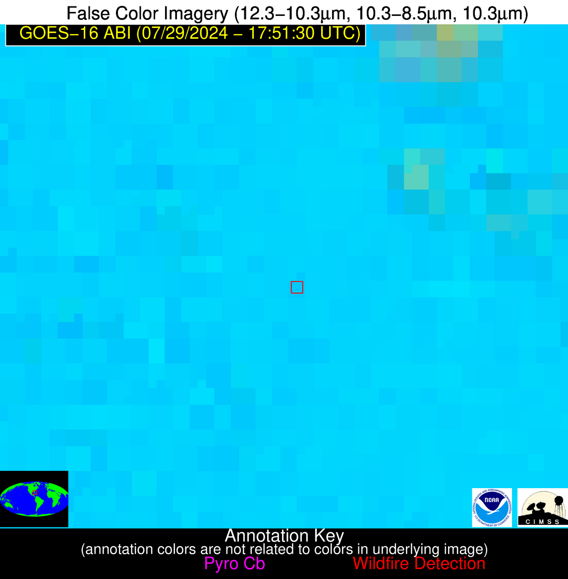
| Latest Satellite Imagery: | |
| View all event imagery » | |
Possible Wildfire
| Basic Information | |
|---|---|
| State/Province(s) | FL |
| Country/Countries | USA |
| County/Locality(s) | Okeechobee County, FL |
| NWS WFO | Melbourne FL |
| Identification Method | Enhanced Contextual (Cloud) |
| Mean Object Date/Time | 2024-07-29 17:52:52UTC |
| Radiative Center (Lat, Lon): | 27.620000°, -80.780000° |
| Nearby Counties (meeting alert criteria): |
|
| Total Radiative Power Anomaly | n/a |
| Total Radiative Power | 110.38 MW |
| Map: | |
| Additional Information | |
| Alert Status | New Feature |
| Type of Event | Likely a Solar Farm |
| Event Priority Ranking | 4 |
| Maximum Observed BT (3.9 um) | 328.57 K |
| Observed - Background BT (3.9 um) | 21.52 K |
| BT Anomaly (3.9 um) | 14.69 K |
| Maximum Observed - Clear RTM BT (3.9 um) | 23.96 K |
| Maximum Observed BTD (3.9-10/11/12 um) | 39.73 K |
| Observed - Background BTD (3.9-10/11/12 um) | 21.30 K |
| BTD Anomaly (3.9-10/11/12 um) | 12.58 K |
| Similar Pixel Count | 0 |
| BT Time Tendency (3.9 um) | 17.80 K |
| Image Interval | 5.00 minutes |
| Fraction of Surrounding LWIR Pixels that are Colder | 0.60 |
| Fraction of Surrounding Red Channel Pixels that are Brighter | 0.00 |
| Maximum Radiative Power | 110.38 MW |
| Maximum Radiative Power Uncertainty | 0.00 MW |
| Total Radiative Power Uncertainty | 0.00 MW |
| Mean Viewing Angle | 33.00° |
| Mean Solar Zenith Angle | 10.10° |
| Mean Glint Angle | 40.80° |
| Water Fraction | 0.00 |
| Total Pixel Area | 5.00 km2 |
| Latest Satellite Imagery: | |
| View all event imagery » | |


