Jan 2026: Due to an ongoing data center cooling system construction project, NGFS data outages may occur with little or no notice. Bitterly cold air in Madison Jan 22-24 increases risk of outages.
Wildfire Alert Report
| Date: | 2024-07-25 |
|---|---|
| Time: | 19:51:17 |
| Production Date and Time: | 2024-07-25 19:56:10 UTC |
| Primary Instrument: | GOES-16 ABI |
| Wmo Spacecraft Id: | 152 |
| Location/orbit: | GEO |
| L1 File: | OR_ABI-L1b-RadC-M6C14_G16_s20242071951172_e20242071953545_c20242071954031.nc |
| L1 File(s) - Temporal | OR_ABI-L1b-RadC-M6C14_G16_s20242071946172_e20242071948545_c20242071949038.nc |
| Number Of Thermal Anomaly Alerts: | 4 |
Possible Wildfire
| Basic Information | |
|---|---|
| State/Province(s) | ID |
| Country/Countries | USA |
| County/Locality(s) | Idaho County, ID |
| NWS WFO | Missoula MT |
| Identification Method | Enhanced Contextual (Clear) |
| Mean Object Date/Time | 2024-07-25 19:51:19UTC |
| Radiative Center (Lat, Lon): | 46.200000°, -114.830000° |
| Nearby Counties (meeting alert criteria): |
|
| Total Radiative Power Anomaly | n/a |
| Total Radiative Power | 26.64 MW |
| Map: | |
| Additional Information | |
| Alert Status | New Feature |
| Type of Event | Elevated SPC Risk |
| Event Priority Ranking | 3 |
| Maximum Observed BT (3.9 um) | 303.09 K |
| Observed - Background BT (3.9 um) | 5.76 K |
| BT Anomaly (3.9 um) | 2.16 K |
| Maximum Observed - Clear RTM BT (3.9 um) | 6.09 K |
| Maximum Observed BTD (3.9-10/11/12 um) | 17.41 K |
| Observed - Background BTD (3.9-10/11/12 um) | 5.40 K |
| BTD Anomaly (3.9-10/11/12 um) | 2.47 K |
| Similar Pixel Count | 11 |
| BT Time Tendency (3.9 um) | 1.20 K |
| Image Interval | 5.00 minutes |
| Fraction of Surrounding LWIR Pixels that are Colder | 0.75 |
| Fraction of Surrounding Red Channel Pixels that are Brighter | 1.00 |
| Maximum Radiative Power | 26.64 MW |
| Maximum Radiative Power Uncertainty | 0.00 MW |
| Total Radiative Power Uncertainty | 0.00 MW |
| Mean Viewing Angle | 66.20° |
| Mean Solar Zenith Angle | 26.40° |
| Mean Glint Angle | 83.60° |
| Water Fraction | 0.00 |
| Total Pixel Area | 15.70 km2 |
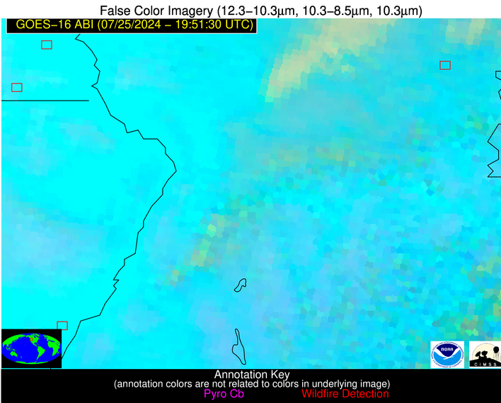
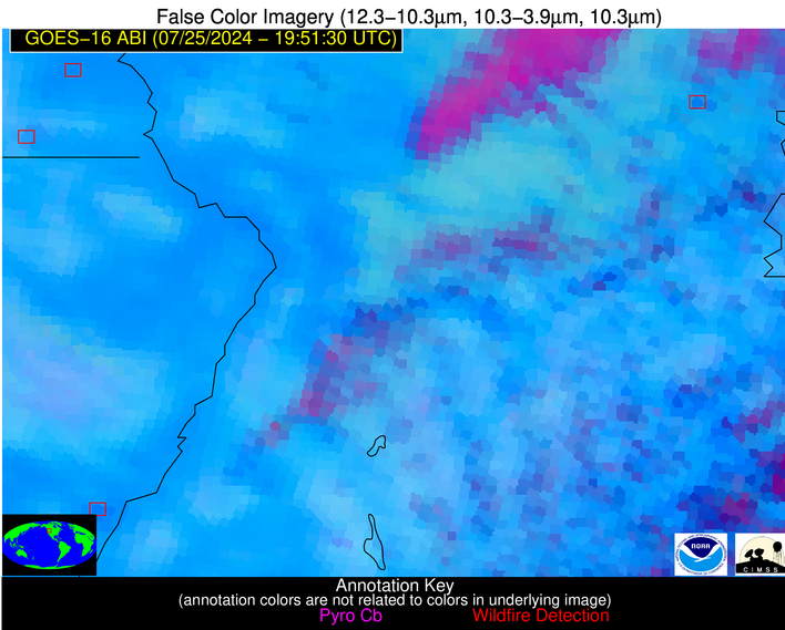
| Latest Satellite Imagery: | |
| View all event imagery » | |
Possible Wildfire
| Basic Information | |
|---|---|
| State/Province(s) | OR |
| Country/Countries | USA |
| County/Locality(s) | Baker County, OR |
| NWS WFO | Boise ID |
| Identification Method | Enhanced Contextual (Clear) |
| Mean Object Date/Time | 2024-07-25 19:51:19UTC |
| Radiative Center (Lat, Lon): | 44.720000°, -117.160000° |
| Nearby Counties (meeting alert criteria): |
|
| Total Radiative Power Anomaly | n/a |
| Total Radiative Power | 58.25 MW |
| Map: | |
| Additional Information | |
| Alert Status | New Feature |
| Type of Event | Nominal Risk, Known Incident: BADLAND COMPLEX (LOW, tdiff=0.93762 days, PERIMETER) |
| Event Priority Ranking | 4 |
| Maximum Observed BT (3.9 um) | 314.49 K |
| Observed - Background BT (3.9 um) | 5.95 K |
| BT Anomaly (3.9 um) | 3.27 K |
| Maximum Observed - Clear RTM BT (3.9 um) | 11.80 K |
| Maximum Observed BTD (3.9-10/11/12 um) | 19.71 K |
| Observed - Background BTD (3.9-10/11/12 um) | 5.83 K |
| BTD Anomaly (3.9-10/11/12 um) | 3.55 K |
| Similar Pixel Count | 22 |
| BT Time Tendency (3.9 um) | 2.20 K |
| Image Interval | 5.00 minutes |
| Fraction of Surrounding LWIR Pixels that are Colder | 0.65 |
| Fraction of Surrounding Red Channel Pixels that are Brighter | 0.94 |
| Maximum Radiative Power | 31.53 MW |
| Maximum Radiative Power Uncertainty | 0.00 MW |
| Total Radiative Power Uncertainty | 0.00 MW |
| Mean Viewing Angle | 66.50° |
| Mean Solar Zenith Angle | 24.90° |
| Mean Glint Angle | 83.50° |
| Water Fraction | 0.00 |
| Total Pixel Area | 32.80 km2 |
| Latest Satellite Imagery: | |
| View all event imagery » | |
Possible Wildfire
| Basic Information | |
|---|---|
| State/Province(s) | OK |
| Country/Countries | USA |
| County/Locality(s) | Garfield County, OK |
| NWS WFO | Norman OK |
| Identification Method | Enhanced Contextual (Clear) |
| Mean Object Date/Time | 2024-07-25 19:52:20UTC |
| Radiative Center (Lat, Lon): | 36.190000°, -97.950000° |
| Nearby Counties (meeting alert criteria): |
|
| Total Radiative Power Anomaly | n/a |
| Total Radiative Power | 347.17 MW |
| Map: | |
| Additional Information | |
| Alert Status | New Feature |
| Type of Event | Nominal Risk |
| Event Priority Ranking | 4 |
| Maximum Observed BT (3.9 um) | 324.51 K |
| Observed - Background BT (3.9 um) | 11.62 K |
| BT Anomaly (3.9 um) | 6.90 K |
| Maximum Observed - Clear RTM BT (3.9 um) | 16.60 K |
| Maximum Observed BTD (3.9-10/11/12 um) | 29.88 K |
| Observed - Background BTD (3.9-10/11/12 um) | 12.18 K |
| BTD Anomaly (3.9-10/11/12 um) | 7.70 K |
| Similar Pixel Count | 4 |
| BT Time Tendency (3.9 um) | 9.60 K |
| Image Interval | 5.00 minutes |
| Fraction of Surrounding LWIR Pixels that are Colder | 0.33 |
| Fraction of Surrounding Red Channel Pixels that are Brighter | 0.08 |
| Maximum Radiative Power | 231.16 MW |
| Maximum Radiative Power Uncertainty | 0.00 MW |
| Total Radiative Power Uncertainty | 0.00 MW |
| Mean Viewing Angle | 48.60° |
| Mean Solar Zenith Angle | 22.90° |
| Mean Glint Angle | 54.40° |
| Water Fraction | 0.00 |
| Total Pixel Area | 21.30 km2 |
| Latest Satellite Imagery: | |
| View all event imagery » | |
Possible Wildfire
| Basic Information | |
|---|---|
| State/Province(s) | Unknown |
| Country/Countries | Mexico |
| County/Locality(s) | Mexico |
| NWS WFO | N/A |
| Identification Method | Enhanced Contextual (Clear) |
| Mean Object Date/Time | 2024-07-25 19:52:48UTC |
| Radiative Center (Lat, Lon): | 27.360000°, -109.240000° |
| Nearby Counties (meeting alert criteria): |
|
| Total Radiative Power Anomaly | n/a |
| Total Radiative Power | 23.98 MW |
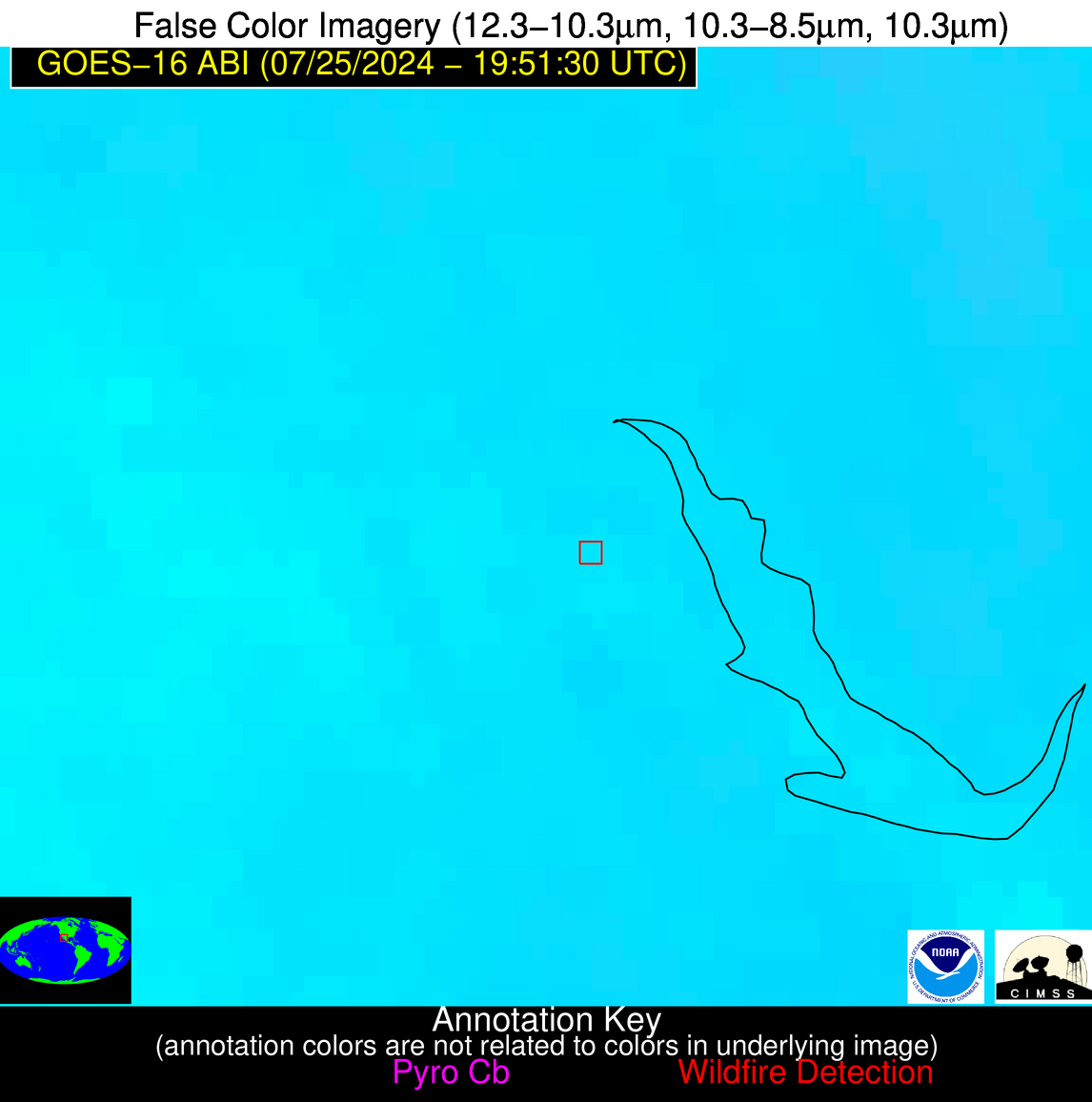
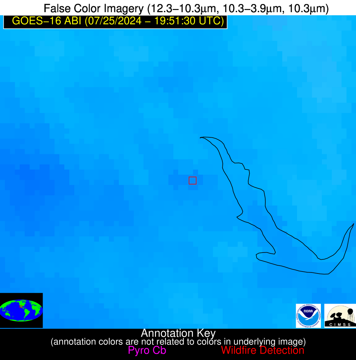
| Map: | |
| Additional Information | |
| Alert Status | New Feature |
| Type of Event | Nominal Risk |
| Event Priority Ranking | 4 |
| Maximum Observed BT (3.9 um) | 318.13 K |
| Observed - Background BT (3.9 um) | 4.46 K |
| BT Anomaly (3.9 um) | 1.89 K |
| Maximum Observed - Clear RTM BT (3.9 um) | 7.06 K |
| Maximum Observed BTD (3.9-10/11/12 um) | 17.81 K |
| Observed - Background BTD (3.9-10/11/12 um) | 3.91 K |
| BTD Anomaly (3.9-10/11/12 um) | 2.37 K |
| Similar Pixel Count | 23 |
| BT Time Tendency (3.9 um) | 0.50 K |
| Image Interval | 5.00 minutes |
| Fraction of Surrounding LWIR Pixels that are Colder | 0.89 |
| Fraction of Surrounding Red Channel Pixels that are Brighter | 1.00 |
| Maximum Radiative Power | 12.17 MW |
| Maximum Radiative Power Uncertainty | 0.00 MW |
| Total Radiative Power Uncertainty | 0.00 MW |
| Mean Viewing Angle | 49.40° |
| Mean Solar Zenith Angle | 9.90° |
| Mean Glint Angle | 48.80° |
| Water Fraction | 0.00 |
| Total Pixel Area | 15.00 km2 |
| Latest Satellite Imagery: | |
| View all event imagery » | |


