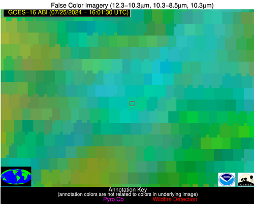
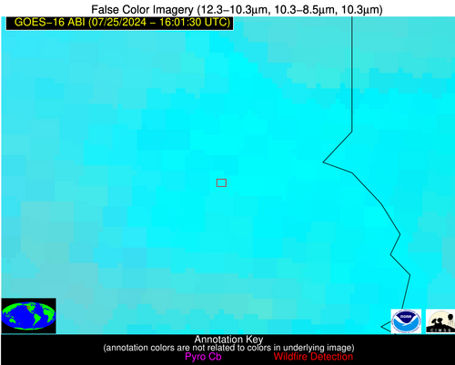
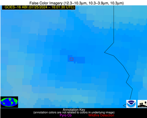
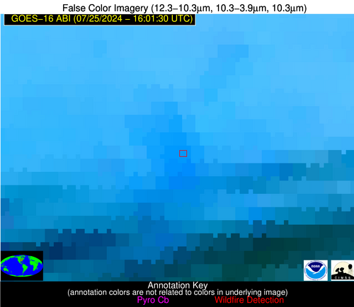
Wildfire Alert Report
| Date: | 2024-07-25 |
|---|---|
| Time: | 16:01:17 |
| Production Date and Time: | 2024-07-25 16:05:55 UTC |
| Primary Instrument: | GOES-16 ABI |
| Wmo Spacecraft Id: | 152 |
| Location/orbit: | GEO |
| L1 File: | OR_ABI-L1b-RadC-M6C14_G16_s20242071601172_e20242071603545_c20242071604041.nc |
| L1 File(s) - Temporal | OR_ABI-L1b-RadC-M6C14_G16_s20242071556172_e20242071558545_c20242071559036.nc |
| Number Of Thermal Anomaly Alerts: | 3 |
Possible Wildfire
| Basic Information | |
|---|---|
| State/Province(s) | Ontario |
| Country/Countries | Canada |
| County/Locality(s) | Canada |
| NWS WFO | N/A |
| Identification Method | Enhanced Contextual (Clear) |
| Mean Object Date/Time | 2024-07-25 16:01:22UTC |
| Radiative Center (Lat, Lon): | 49.890000°, -82.090000° |
| Nearby Counties (meeting alert criteria): |
|
| Total Radiative Power Anomaly | n/a |
| Total Radiative Power | 56.96 MW |
| Map: | |
| Additional Information | |
| Alert Status | New Feature |
| Type of Event | Nominal Risk |
| Event Priority Ranking | 4 |
| Maximum Observed BT (3.9 um) | 295.23 K |
| Observed - Background BT (3.9 um) | 11.06 K |
| BT Anomaly (3.9 um) | 10.58 K |
| Maximum Observed - Clear RTM BT (3.9 um) | 3.98 K |
| Maximum Observed BTD (3.9-10/11/12 um) | 29.12 K |
| Observed - Background BTD (3.9-10/11/12 um) | 11.54 K |
| BTD Anomaly (3.9-10/11/12 um) | 14.10 K |
| Similar Pixel Count | 6 |
| BT Time Tendency (3.9 um) | 6.90 K |
| Image Interval | 5.00 minutes |
| Fraction of Surrounding LWIR Pixels that are Colder | 0.75 |
| Fraction of Surrounding Red Channel Pixels that are Brighter | 0.88 |
| Maximum Radiative Power | 56.96 MW |
| Maximum Radiative Power Uncertainty | 0.00 MW |
| Total Radiative Power Uncertainty | 0.00 MW |
| Mean Viewing Angle | 57.90° |
| Mean Solar Zenith Angle | 35.30° |
| Mean Glint Angle | 89.20° |
| Water Fraction | 0.00 |
| Total Pixel Area | 8.70 km2 |
| Latest Satellite Imagery: | |
| View all event imagery » | |
Possible Wildfire
| Basic Information | |
|---|---|
| State/Province(s) | WA |
| Country/Countries | USA |
| County/Locality(s) | Asotin County, WA |
| NWS WFO | Spokane WA |
| Identification Method | Enhanced Contextual (Clear) |
| Mean Object Date/Time | 2024-07-25 16:01:19UTC |
| Radiative Center (Lat, Lon): | 46.320000°, -117.260000° |
| Nearby Counties (meeting alert criteria): |
|
| Total Radiative Power Anomaly | n/a |
| Total Radiative Power | 60.58 MW |
| Map: | |
| Additional Information | |
| Alert Status | New Feature |
| Type of Event | Nominal Risk, Known Incident: GOOSENECK (HIGH, tdiff=0.48285 days, POINT) |
| Event Priority Ranking | 4 |
| Maximum Observed BT (3.9 um) | 306.54 K |
| Observed - Background BT (3.9 um) | 6.72 K |
| BT Anomaly (3.9 um) | 3.38 K |
| Maximum Observed - Clear RTM BT (3.9 um) | 14.74 K |
| Maximum Observed BTD (3.9-10/11/12 um) | 17.99 K |
| Observed - Background BTD (3.9-10/11/12 um) | 6.07 K |
| BTD Anomaly (3.9-10/11/12 um) | 4.19 K |
| Similar Pixel Count | 24 |
| BT Time Tendency (3.9 um) | 2.80 K |
| Image Interval | 5.00 minutes |
| Fraction of Surrounding LWIR Pixels that are Colder | 0.84 |
| Fraction of Surrounding Red Channel Pixels that are Brighter | 0.88 |
| Maximum Radiative Power | 30.62 MW |
| Maximum Radiative Power Uncertainty | 0.00 MW |
| Total Radiative Power Uncertainty | 0.00 MW |
| Mean Viewing Angle | 67.60° |
| Mean Solar Zenith Angle | 54.20° |
| Mean Glint Angle | 115.20° |
| Water Fraction | 0.00 |
| Total Pixel Area | 35.10 km2 |
| Latest Satellite Imagery: | |
| View all event imagery » | |
Possible Wildfire
| Basic Information | |
|---|---|
| State/Province(s) | IL |
| Country/Countries | USA |
| County/Locality(s) | Peoria County, IL |
| NWS WFO | Lincoln IL |
| Identification Method | Enhanced Contextual (Clear) |
| Mean Object Date/Time | 2024-07-25 16:01:51UTC |
| Radiative Center (Lat, Lon): | 40.730000°, -89.600000° |
| Nearby Counties (meeting alert criteria): |
|
| Total Radiative Power Anomaly | n/a |
| Total Radiative Power | 22.13 MW |
| Map: | |
| Additional Information | |
| Alert Status | New Feature |
| Type of Event | Likely an Urban Source |
| Event Priority Ranking | 5 |
| Maximum Observed BT (3.9 um) | 304.57 K |
| Observed - Background BT (3.9 um) | 6.34 K |
| BT Anomaly (3.9 um) | 6.02 K |
| Maximum Observed - Clear RTM BT (3.9 um) | 12.33 K |
| Maximum Observed BTD (3.9-10/11/12 um) | 15.78 K |
| Observed - Background BTD (3.9-10/11/12 um) | 7.86 K |
| BTD Anomaly (3.9-10/11/12 um) | 7.64 K |
| Similar Pixel Count | 21 |
| BT Time Tendency (3.9 um) | 0.20 K |
| Image Interval | 5.00 minutes |
| Fraction of Surrounding LWIR Pixels that are Colder | 0.75 |
| Fraction of Surrounding Red Channel Pixels that are Brighter | 0.88 |
| Maximum Radiative Power | 22.13 MW |
| Maximum Radiative Power Uncertainty | 0.00 MW |
| Total Radiative Power Uncertainty | 0.00 MW |
| Mean Viewing Angle | 49.60° |
| Mean Solar Zenith Angle | 33.50° |
| Mean Glint Angle | 77.60° |
| Water Fraction | 0.00 |
| Total Pixel Area | 7.10 km2 |
| Latest Satellite Imagery: | |
| View all event imagery » | |


