Jan 2026: Due to an ongoing data center cooling system construction project, NGFS data outages may occur with little or no notice.
Wildfire Alert Report
| Date: | 2024-07-13 |
|---|---|
| Time: | 19:31:26 |
| Production Date and Time: | 2024-07-13 19:32:08 UTC |
| Primary Instrument: | GOES-18 ABI |
| Wmo Spacecraft Id: | 665 |
| Location/orbit: | GEO |
| L1 File: | OR_ABI-L1b-RadM1-M6C14_G18_s20241951931260_e20241951931317_c20241951931365.nc |
| L1 File(s) - Temporal | OR_ABI-L1b-RadM1-M6C14_G18_s20241951930289_e20241951930346_c20241951930407.nc |
| Number Of Thermal Anomaly Alerts: | 1 |
Possible Wildfire
| Basic Information | |
|---|---|
| State/Province(s) | CA |
| Country/Countries | USA |
| County/Locality(s) | San Luis Obispo County, CA |
| NWS WFO | Los Angeles/Oxnard CA |
| Identification Method | Enhanced Contextual (Cloud) |
| Mean Object Date/Time | 2024-07-13 19:31:31UTC |
| Radiative Center (Lat, Lon): | 35.200000°, -119.690000° |
| Nearby Counties (meeting alert criteria): |
|
| Total Radiative Power Anomaly | n/a |
| Total Radiative Power | 63.98 MW |
| Map: | |
| Additional Information | |
| Alert Status | New Feature |
| Type of Event | Nominal Risk and Red Flag Warning, Known Incident: HURRICANE (HIGH, tdiff=0.06391 days, POINT) |
| Event Priority Ranking | 1 |
| Maximum Observed BT (3.9 um) | 330.10 K |
| Observed - Background BT (3.9 um) | 9.66 K |
| BT Anomaly (3.9 um) | 6.15 K |
| Maximum Observed - Clear RTM BT (3.9 um) | 17.79 K |
| Maximum Observed BTD (3.9-10/11/12 um) | 25.97 K |
| Observed - Background BTD (3.9-10/11/12 um) | 9.02 K |
| BTD Anomaly (3.9-10/11/12 um) | 8.72 K |
| Similar Pixel Count | 0 |
| BT Time Tendency (3.9 um) | 1.50 K |
| Image Interval | 1.00 minutes |
| Fraction of Surrounding LWIR Pixels that are Colder | 0.99 |
| Fraction of Surrounding Red Channel Pixels that are Brighter | 1.00 |
| Maximum Radiative Power | 63.98 MW |
| Maximum Radiative Power Uncertainty | 0.00 MW |
| Total Radiative Power Uncertainty | 0.00 MW |
| Mean Viewing Angle | 45.10° |
| Mean Solar Zenith Angle | 15.10° |
| Mean Glint Angle | 54.10° |
| Water Fraction | 0.00 |
| Total Pixel Area | 6.40 km2 |
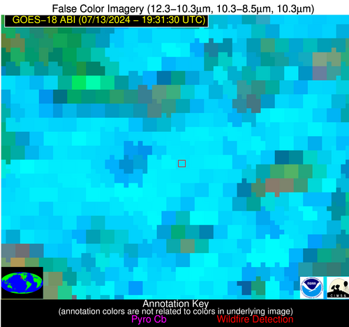
| Latest Satellite Imagery: | |
| View all event imagery » | |


